
I've done the Bristlecone (FKA Dixie) 200 a couple times now.
It evolved out of the Dixie 311 and Dixie Lite (168 mi) routes also created by DaveH. The 311 was a burly loop that went way north up into the Tushars and included some tough, remote singletrack. It generated plenty of buzz in the early bikepacking community but few riders attempted it and only a handful ever completed it. The 311 had been in the back of my mind for years after seeing awesome looking photos and reading TRs describing challenging, remote trail. But everything north of the 200 route was a blank area on a map for me. And yeah, it looked pretty damn hard. After exploring the Tushars a couple years ago I realized the trails I had ridden included the north end of the 311 route, and my interest was spiked.
So I searched out GPS tracks and started plotting. The 200 was re-routed significantly for 2019 due to fire closures and major washouts, so I plugged those re-routes into the old 311 track. And then I tacked my Tushars loop on to the north end. Everything between the 200 route and the Tushars would be new ground. Studying the maps in that zone I could see where the problem areas were. All singletrack was suspect due to lack of use and maintenance. The rest of the route mostly followed the Paiute Trails, a 1,000mi network of primary and secondary OHV trails which are maintained and see regular use. They may not be ideal for bikes but at least they will be clear of deadfall.
I researched the singletracks that were part of the route. All I could find was a hiker trip report for one of them dated May 2022, which said the trail was in good shape. That can mean something very different to a hiker than a MTBer so I'd have to wait and see on the ground. The Forest Service was of no help. They didn't know when the Spruce Trail was last logged out (it is notorious for deadfall) and said Willow Creek may have large washouts. On the east side they simply said they hadn't received any complaints about the trails in question. OK, but is that because they are actually in good shape, or is it because no one has used them in 10 years? They had no clue. I hoped to include these trails in the ride but was not interested in 20+ miles of deadfall-infested hike a bike. I've done plenty of that this year already.
Fortunately, logical bypasses existed for all of these singletracks using the Paiute ATV trails which gave me the final push needed to commit and head to Utah. The group start for the Bristlecone 200 was coming up and I hoped to make it to that and start with the group. Unfortunately I didn't make it up there until after the last racers finished. No biggie, I wouldn't have seen them after the start anyways. With all the unknowns this would be more of a scouting mission than an actual attempt at the route. I'd ride as much as I can and let conditions dictate the route as I went.
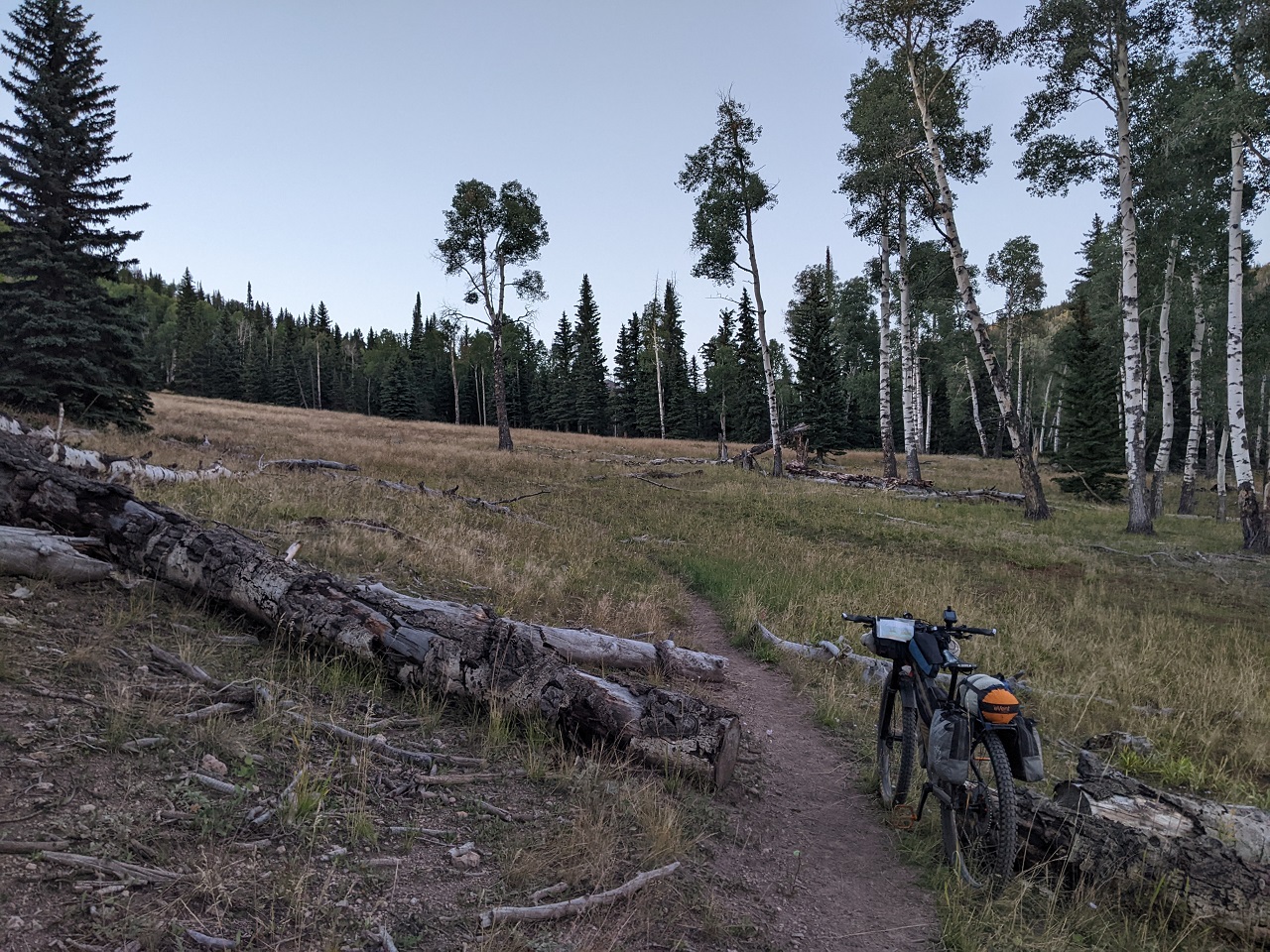
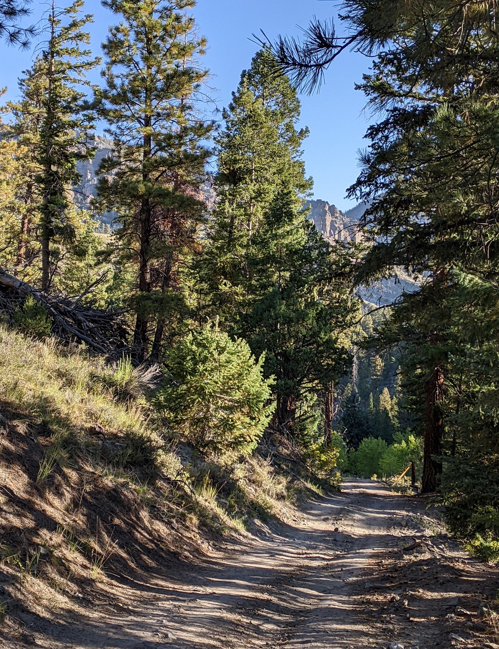
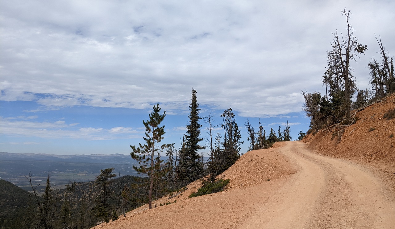
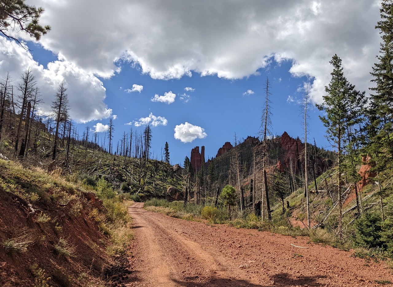
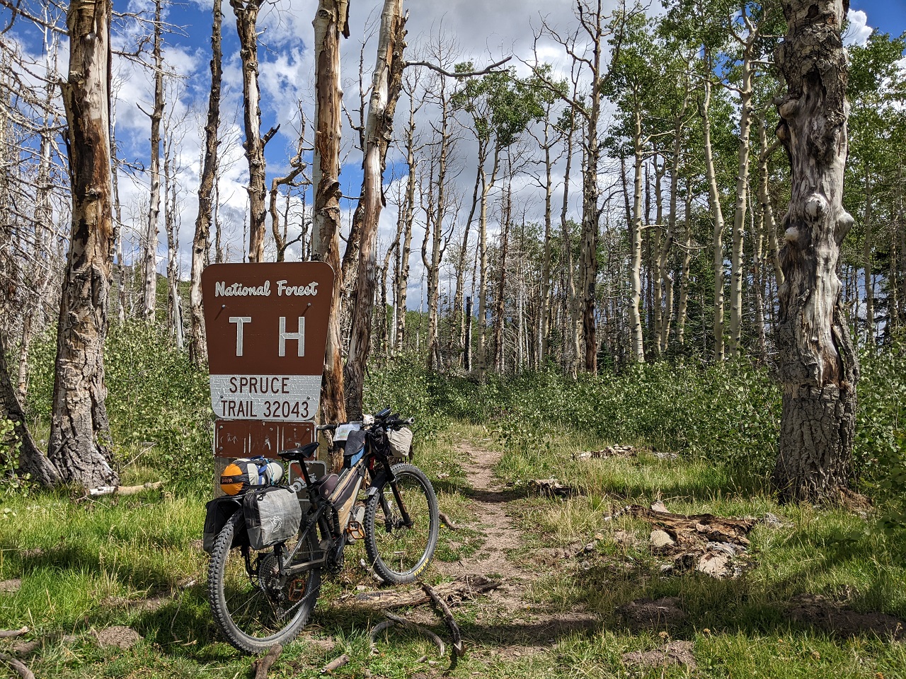
With the Brian Head fire closure ended and Dark Hollow rebuilt (thanks, RA!), a start/end at the bottom of 2nd Left Hand Canyon is back.
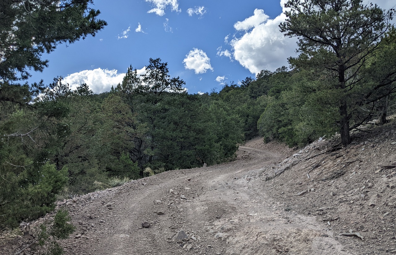
The downside of that is a 3,500ft climb to start the day. Having gotten in late the night before I was late to get going...1030ish. Fortunately temps were cool, and being a weekday there was minimal traffic.
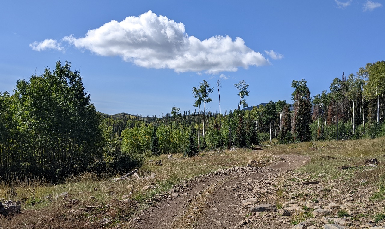
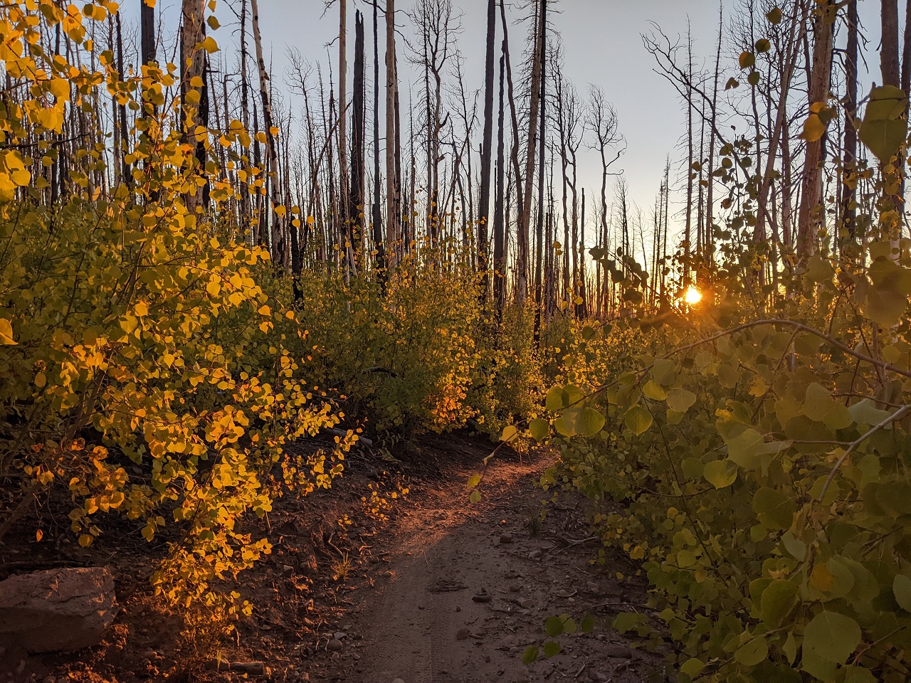
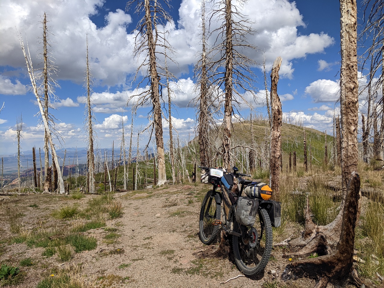
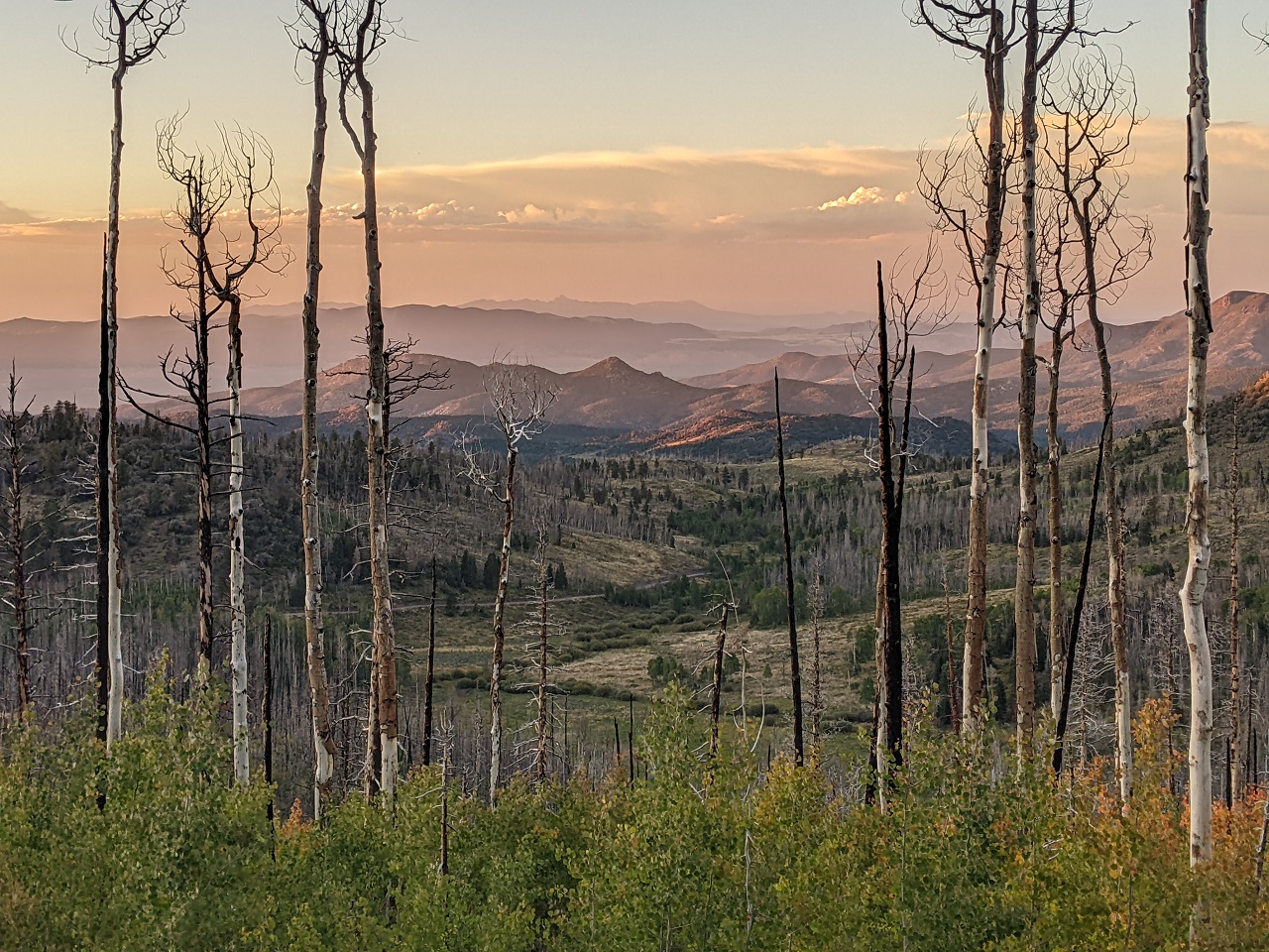
Having burned in 2018 the thick forest was gone. Most of it pretty well torched.
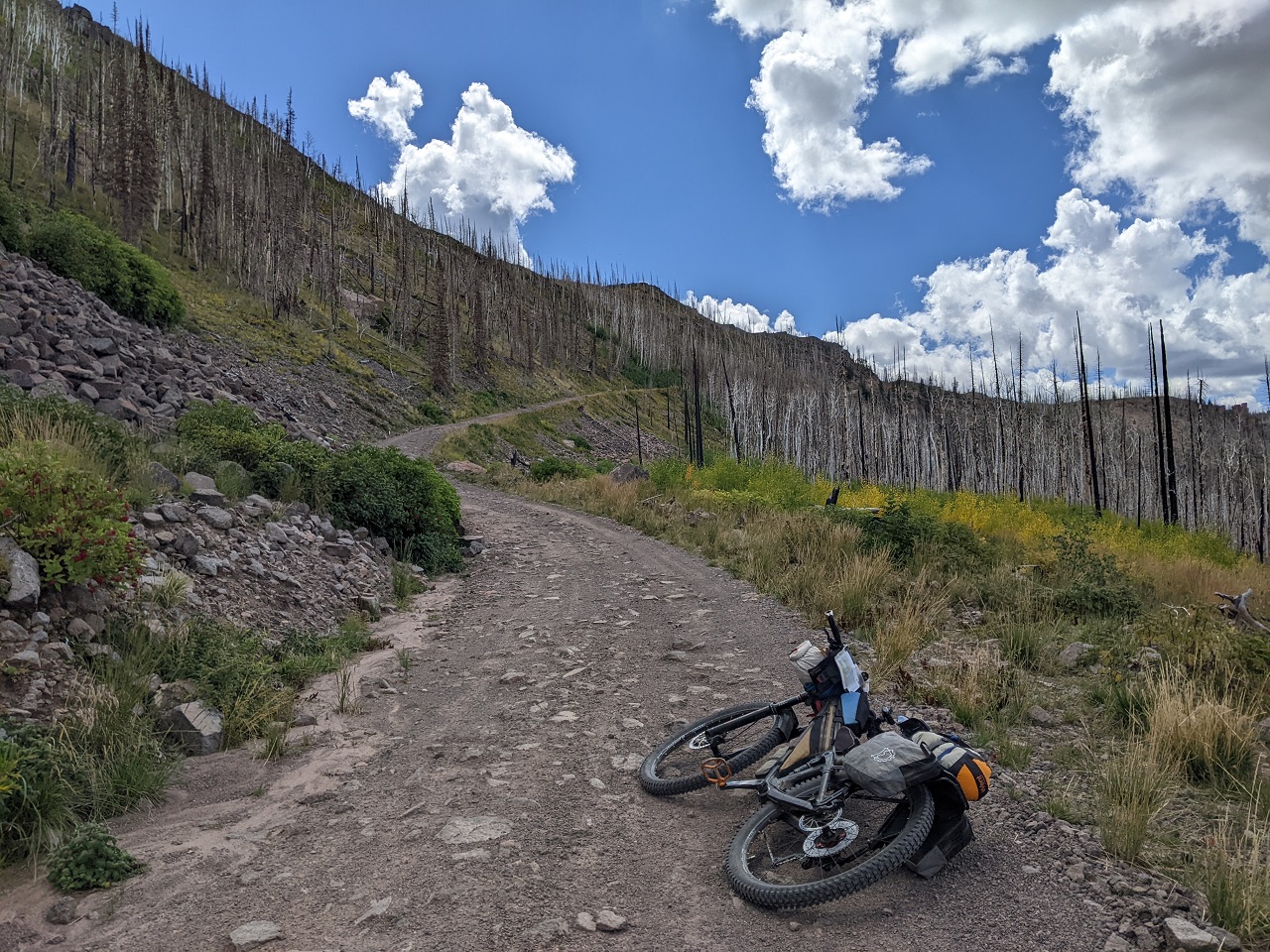
Lookin' back down the hill
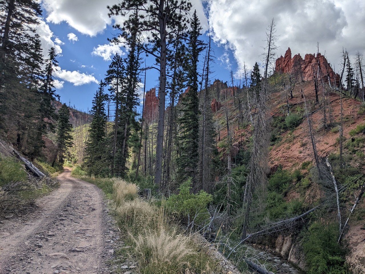
I'm about to find out...
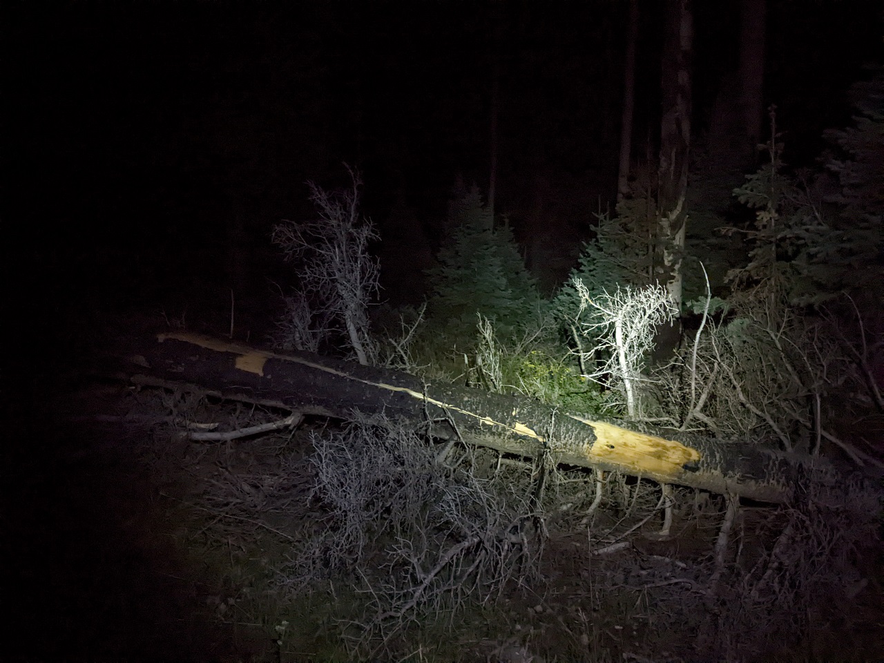
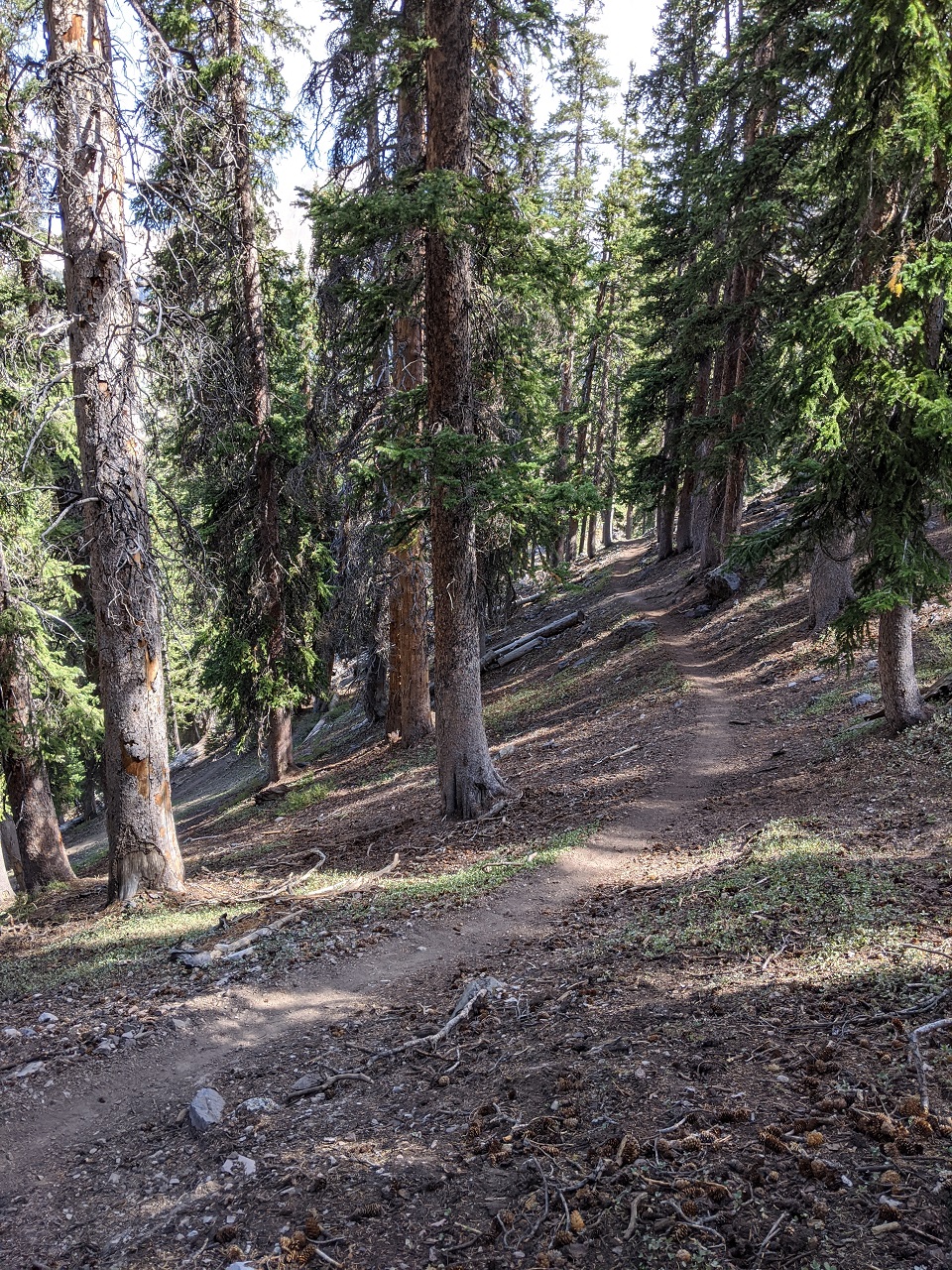
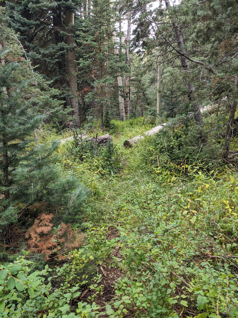
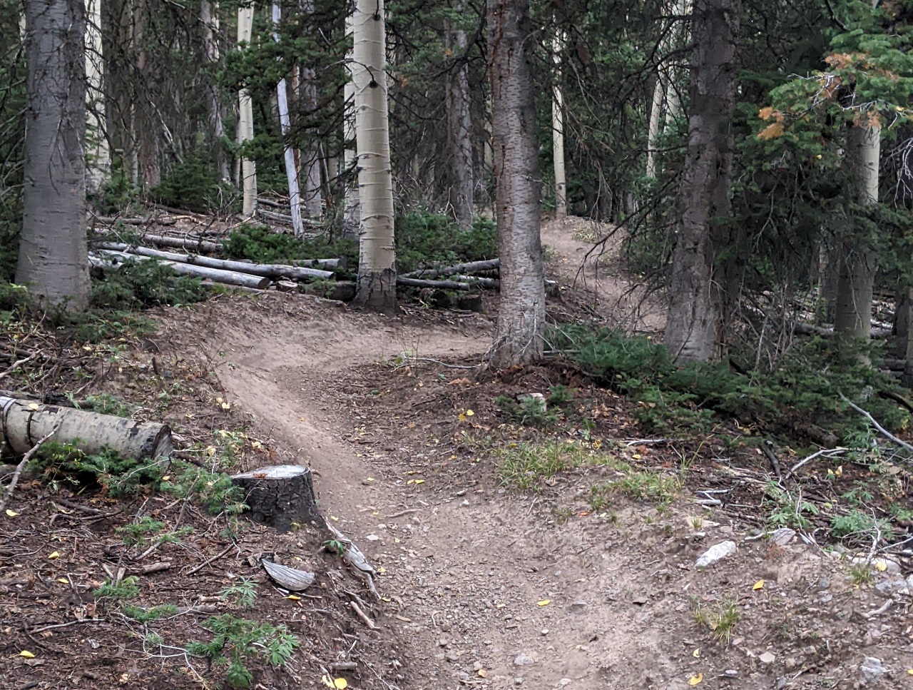
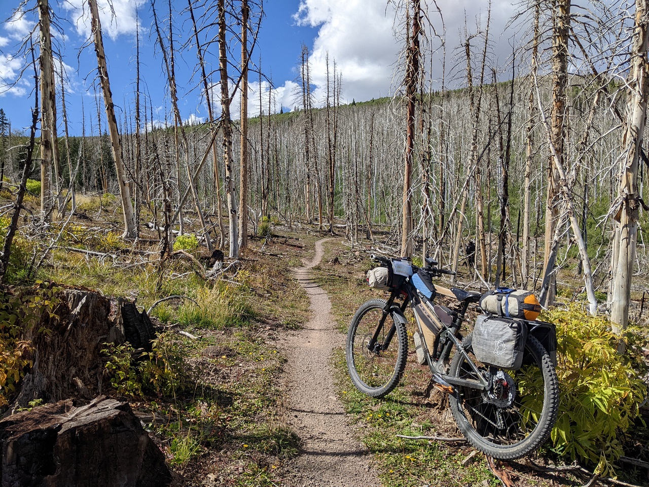
To my surprise Spruce Trail was riding great. Trail tread was still pretty raw, but all the downed trees so far had been cut out.
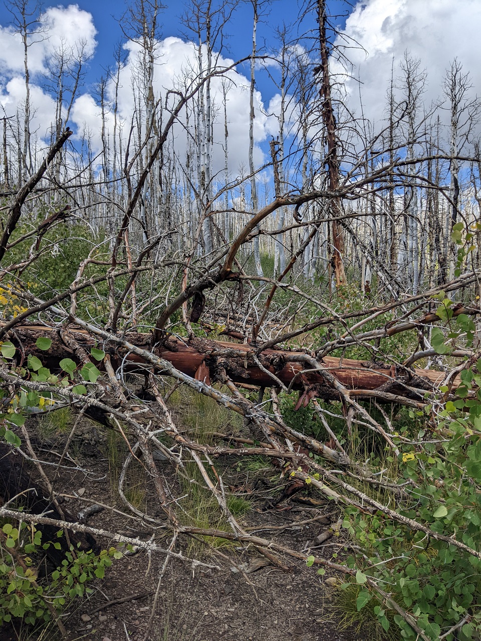
And then I came around a corner to find Armageddon. With all the branches and overlap this mess was impassable.
I hiked around. The worst went for 100m with regular deadfall after that as far as I could see. Found out later there was a big wind event a couple weeks before. I'd experienced deadfall like this on 3 miles of Spruce trail before on the 200 route, and the 311 route stays on Spruces for an additional 6 miles. No thanks, time to retreat...
The bypass was to drop Bunker Creek Trail to Panguitch Lake and then climb up Horse Valley Road
Bunker Creek is no consolation prize. It is a very fun trail that was rebuilt a few years back. And it has been extended by over 4 miles almost to Panguitch Lake. As a bonus, this bypass took me past a general store and the Burger Barn. How could I not stop in for dinner?
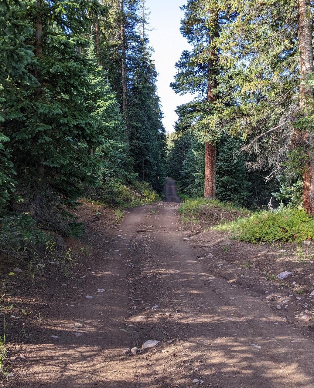
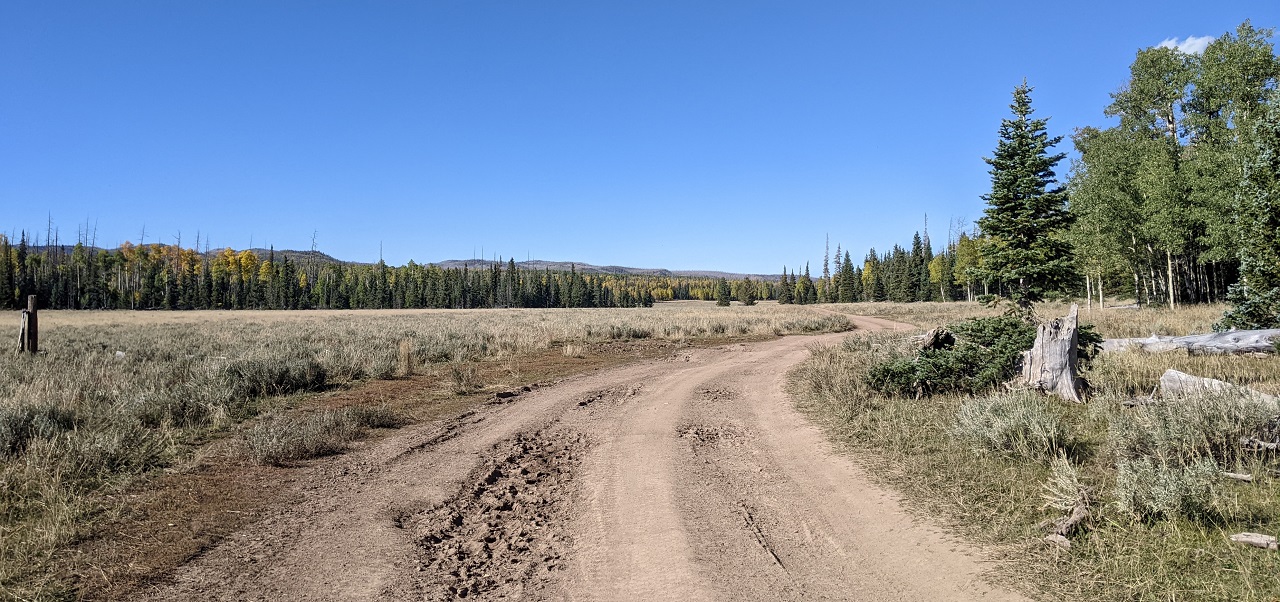
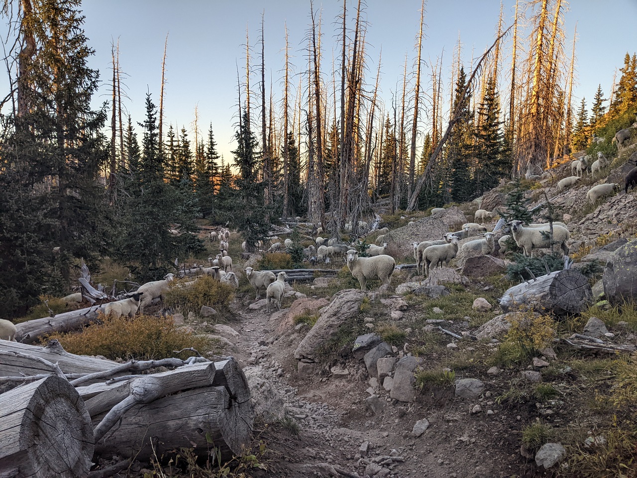
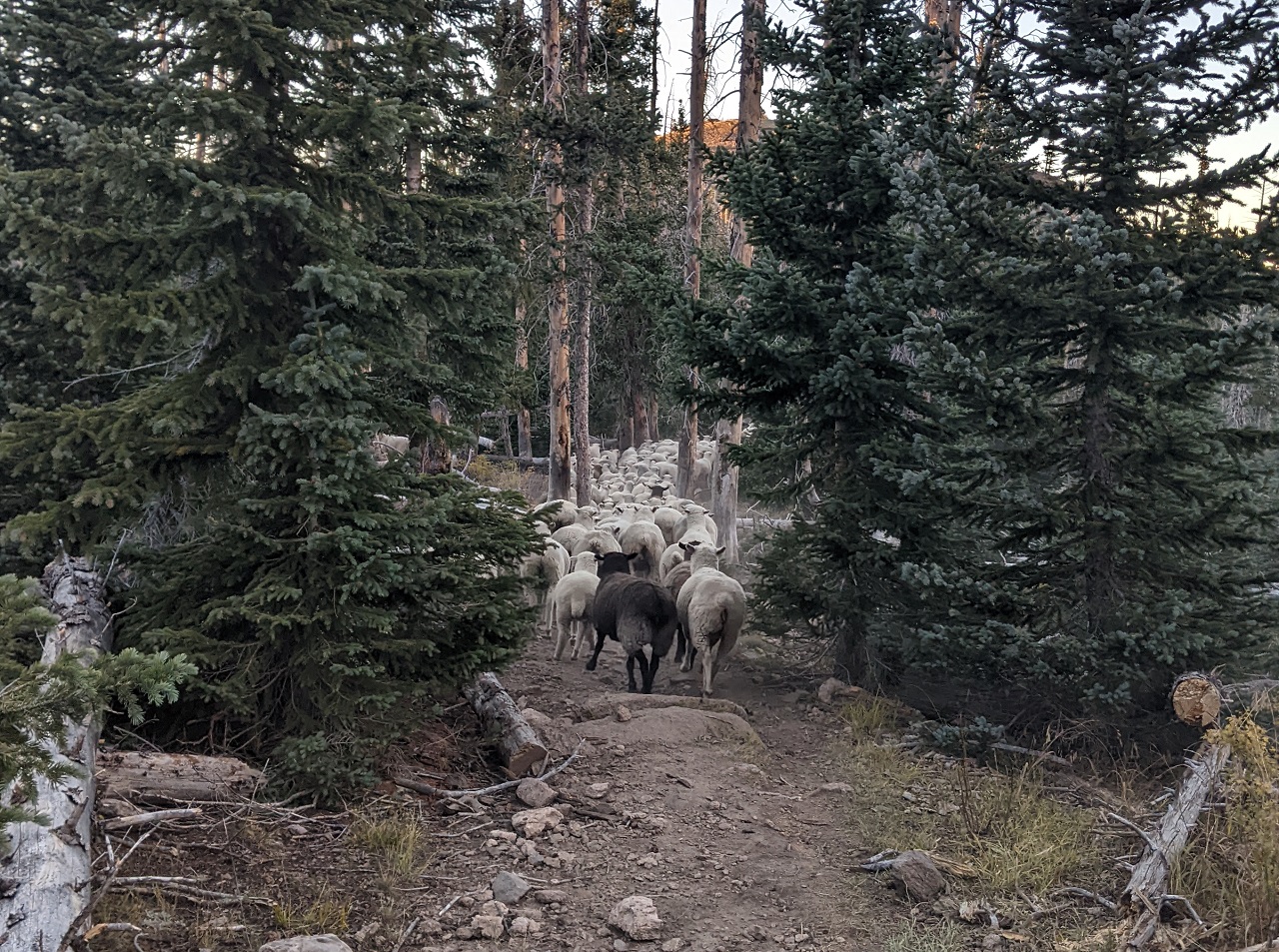
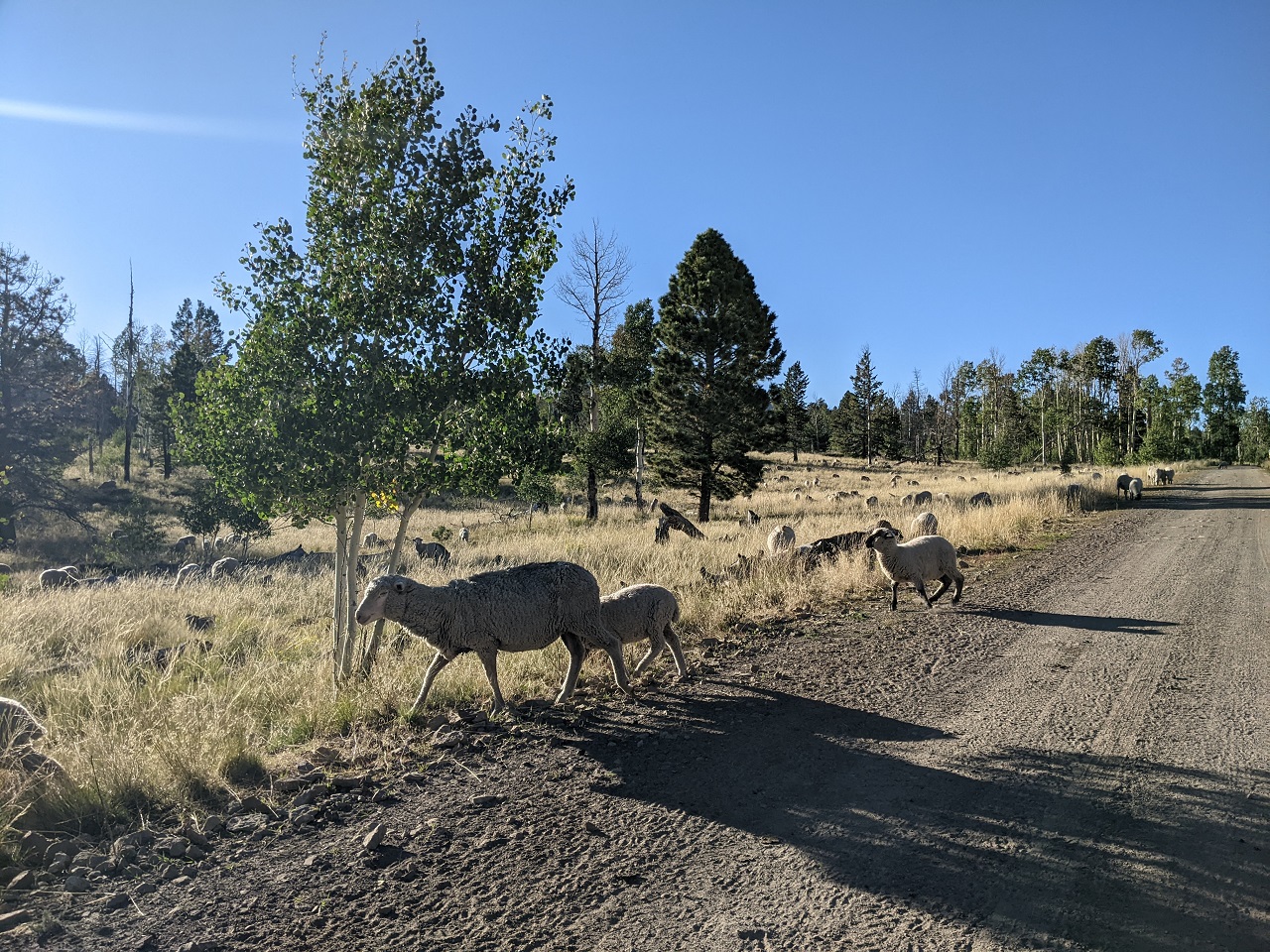
Horse Valley Road is a main forest road that was well graded and a pretty easy climb. A couple trucks and some sheep were the only encounters on the climb.
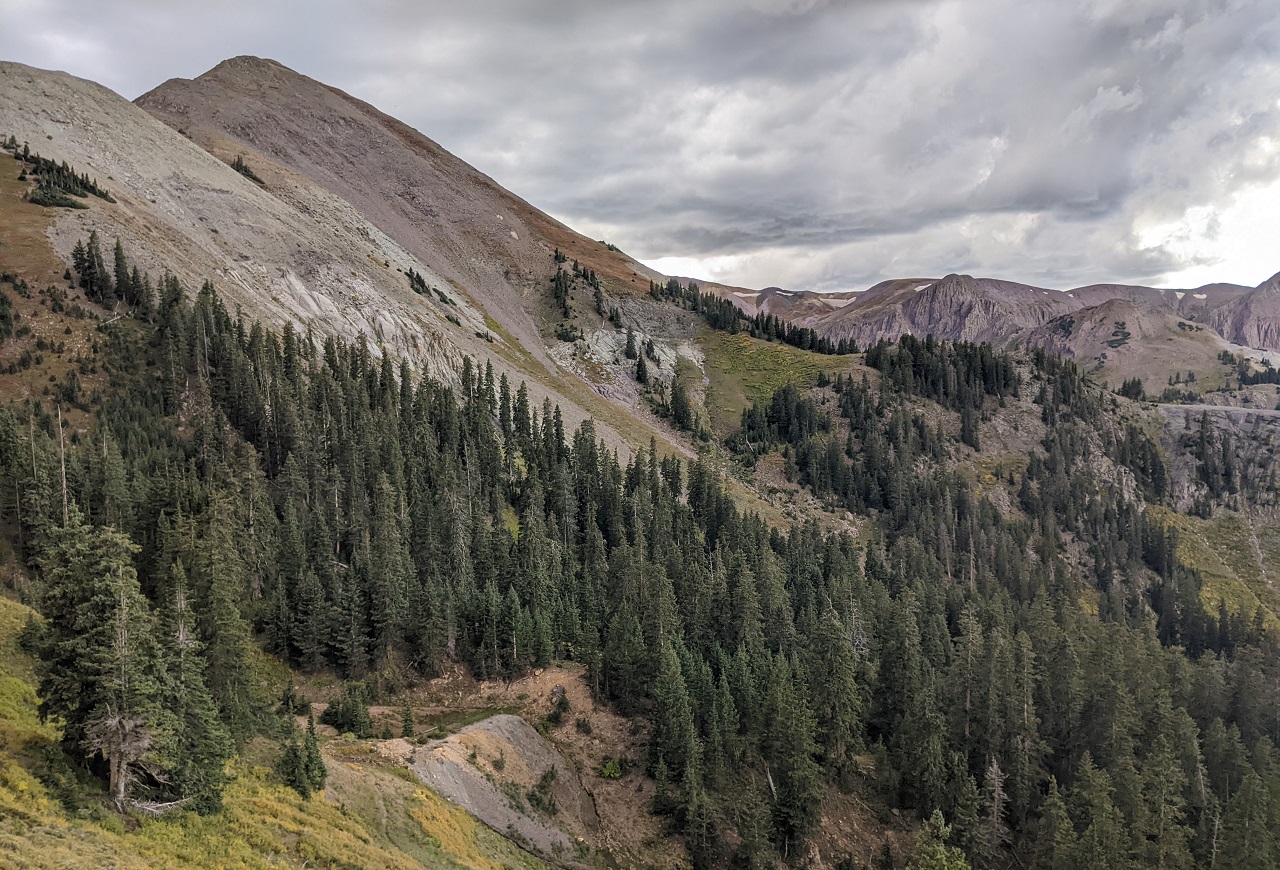
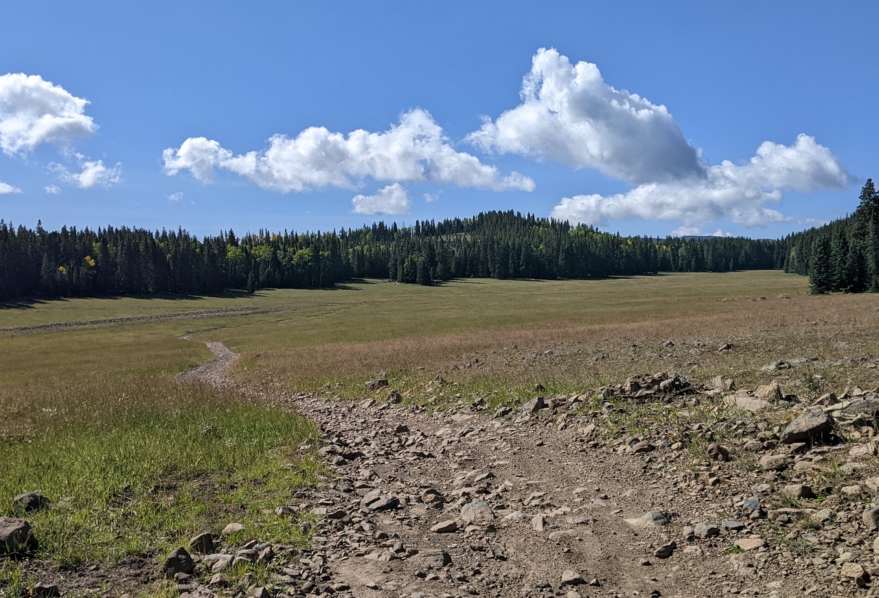
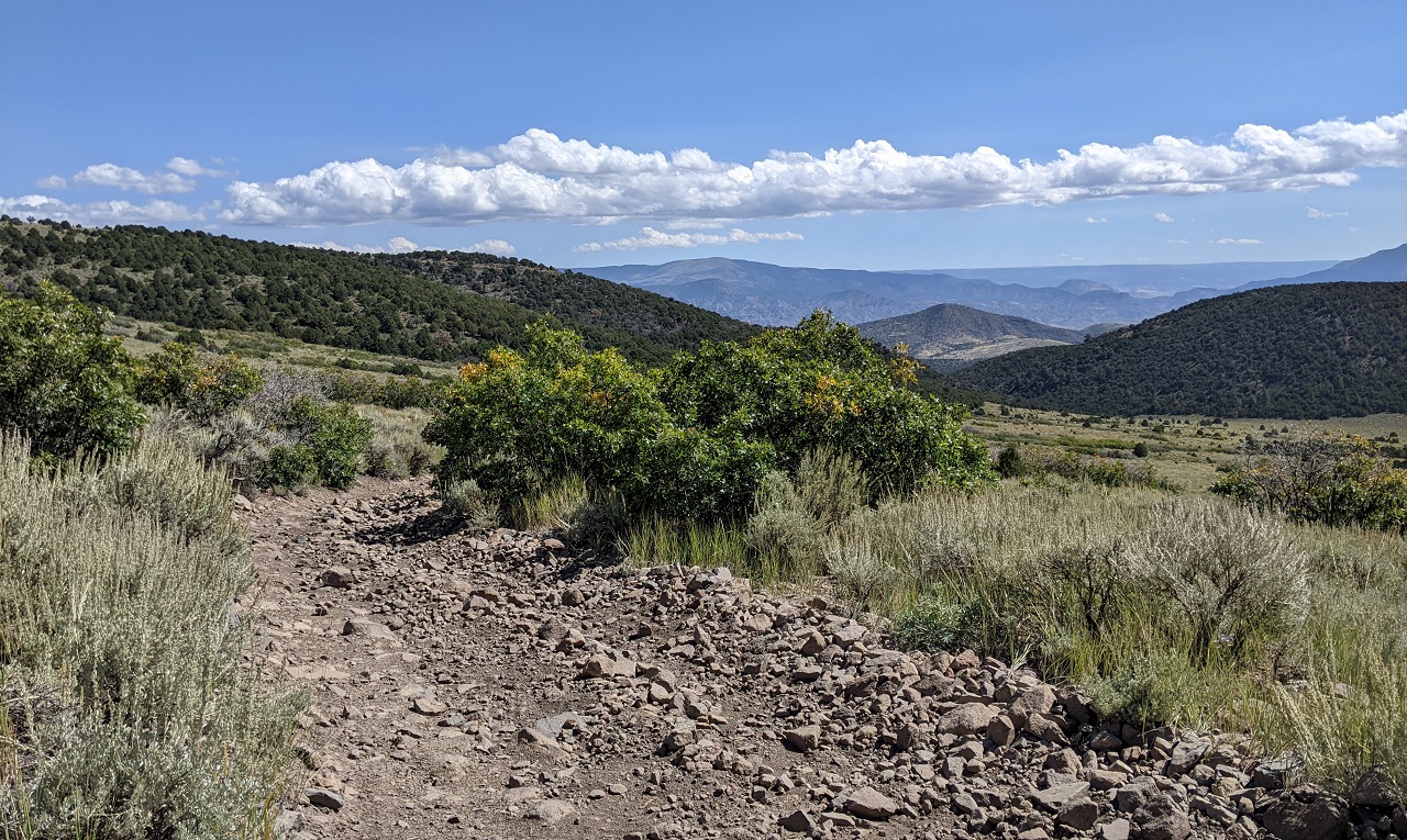
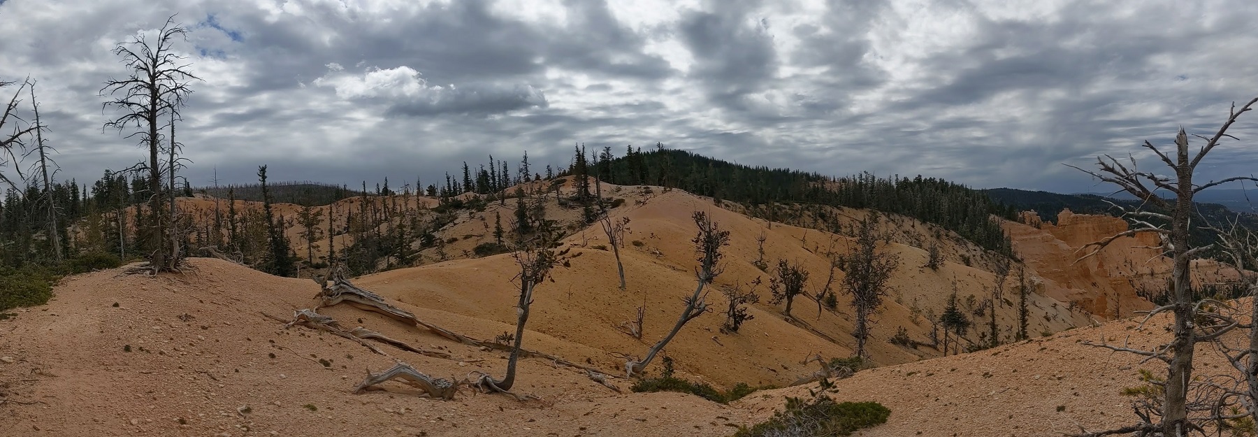
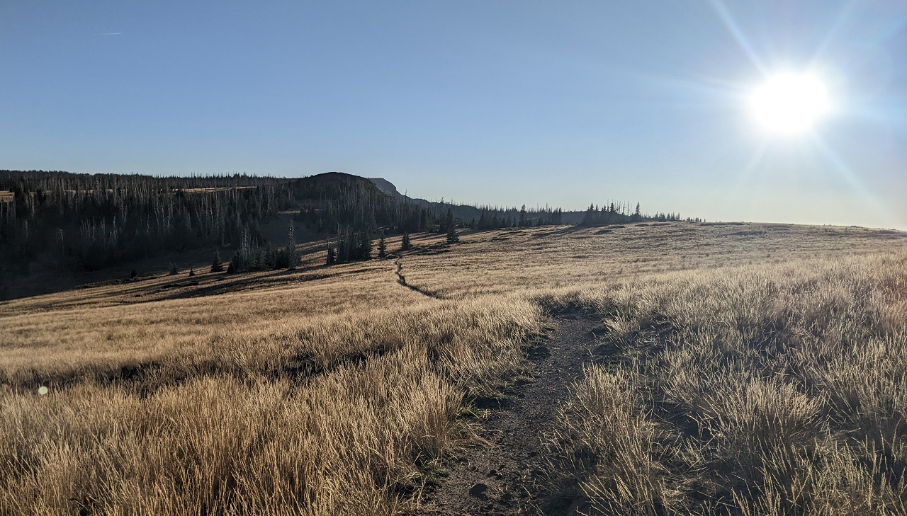
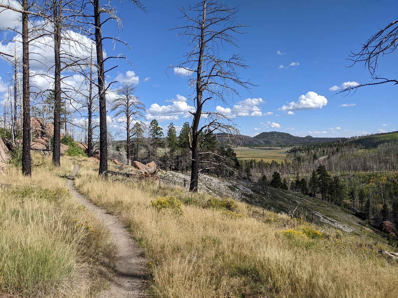
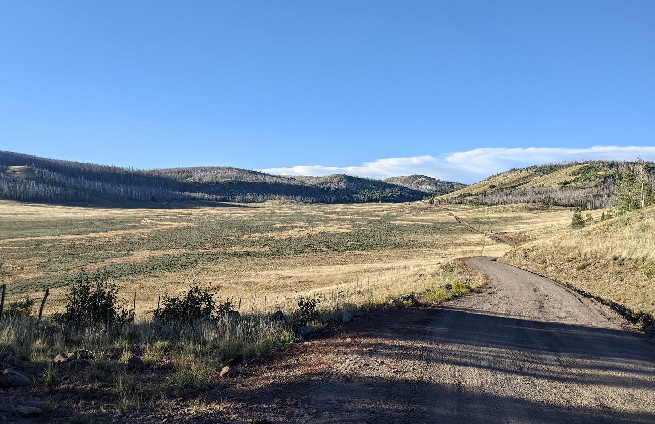
Up top I rode through some nice valleys.
Worth mentioning, Spruce Trail runs along the ridgetop on the left. You can see all the standing dead trees on the hillsides. I was confident I made the right choice as since there is probably tons of deadfall up there.
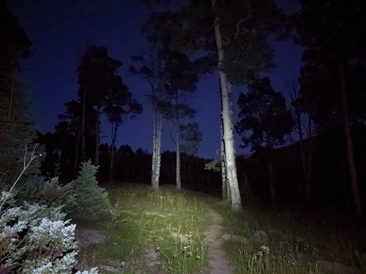
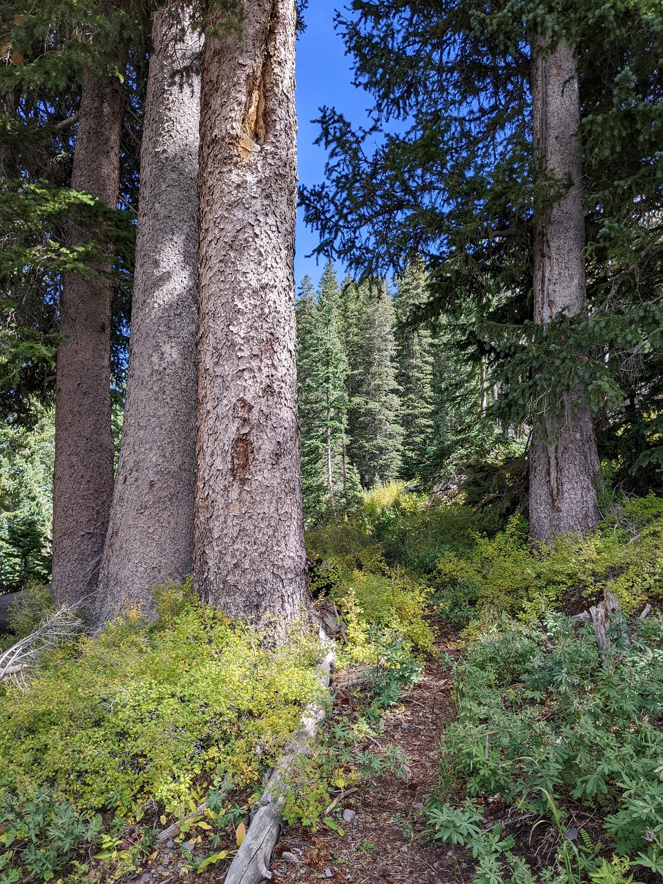
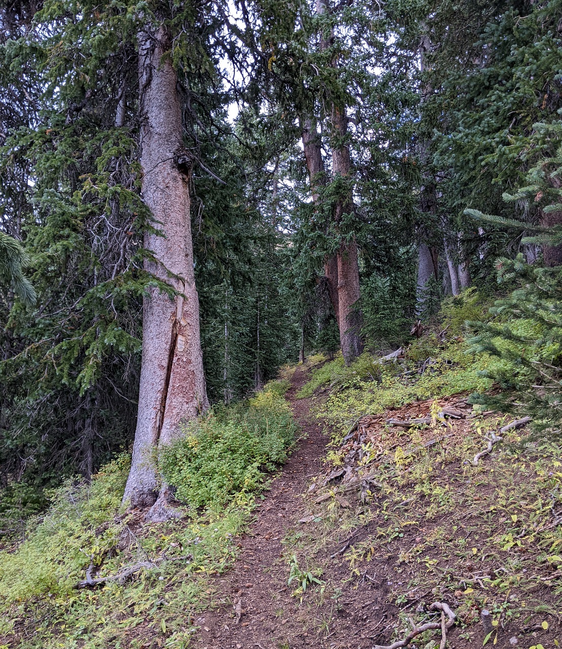
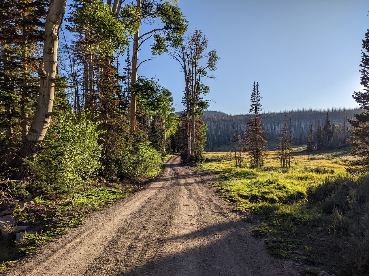
I finally got into some nice forest near the top
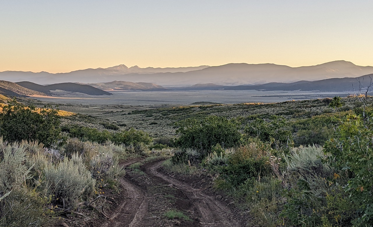
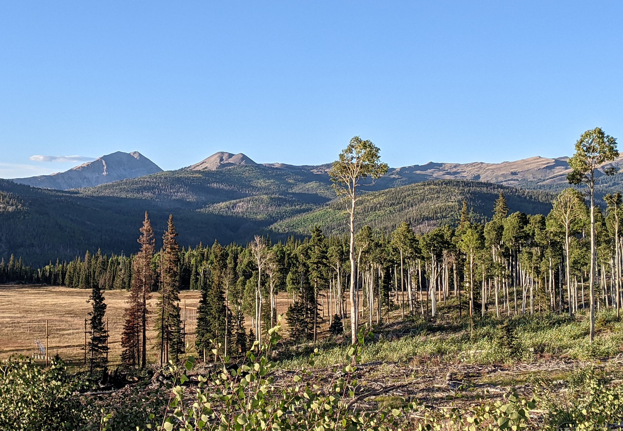
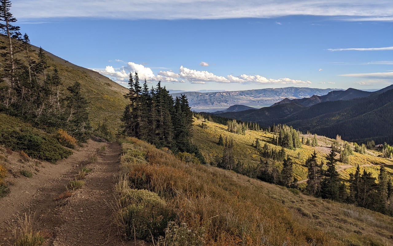
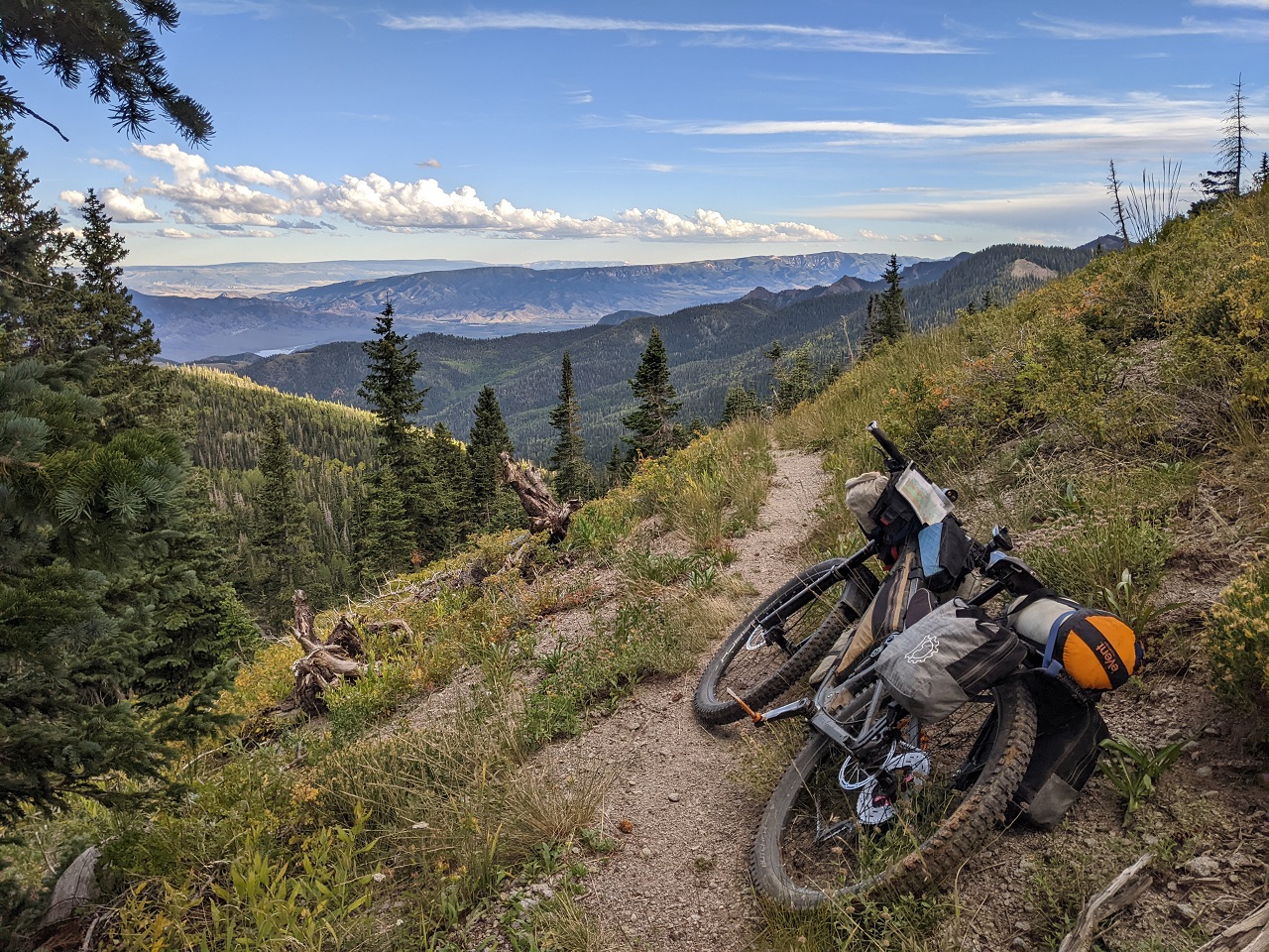
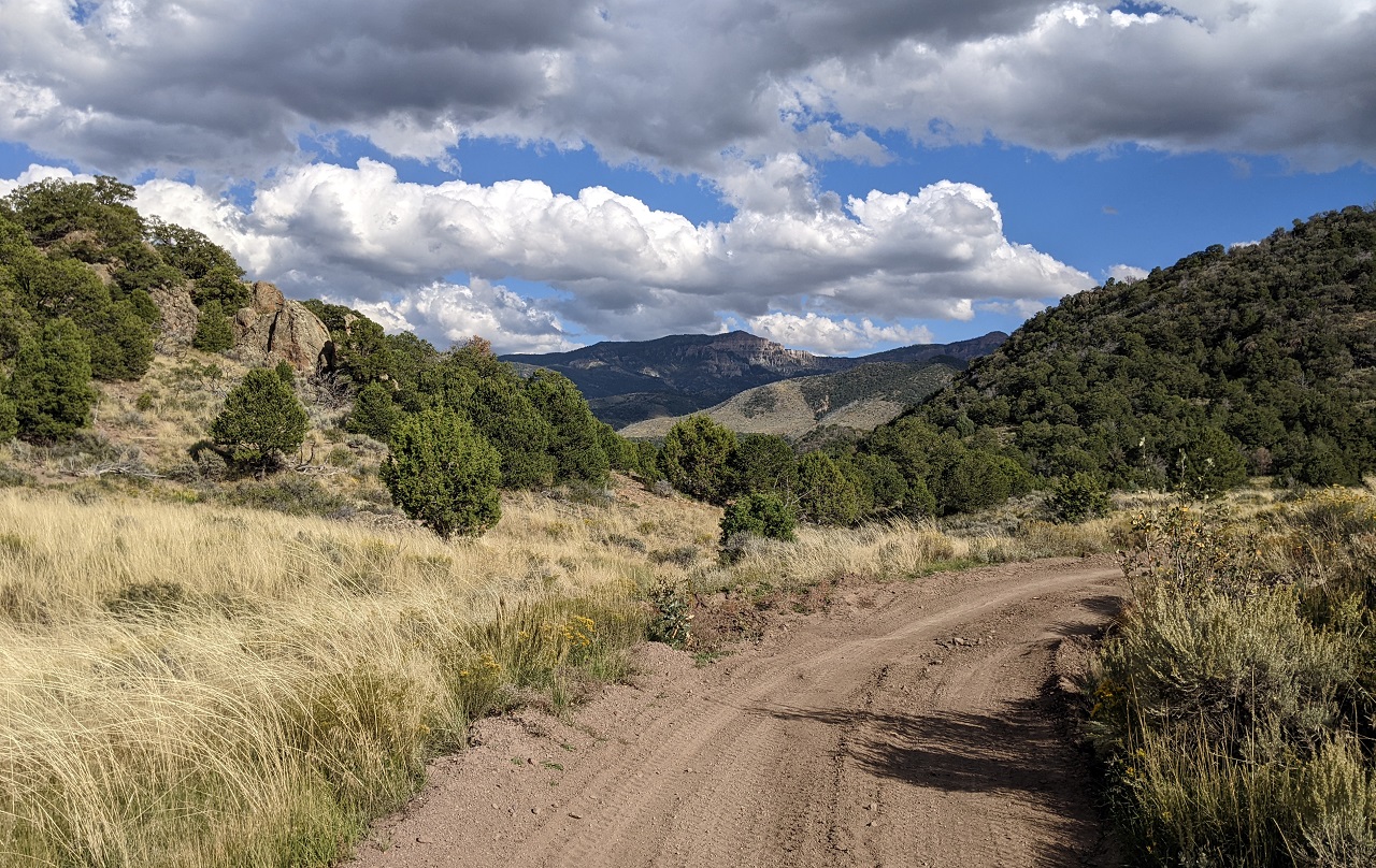
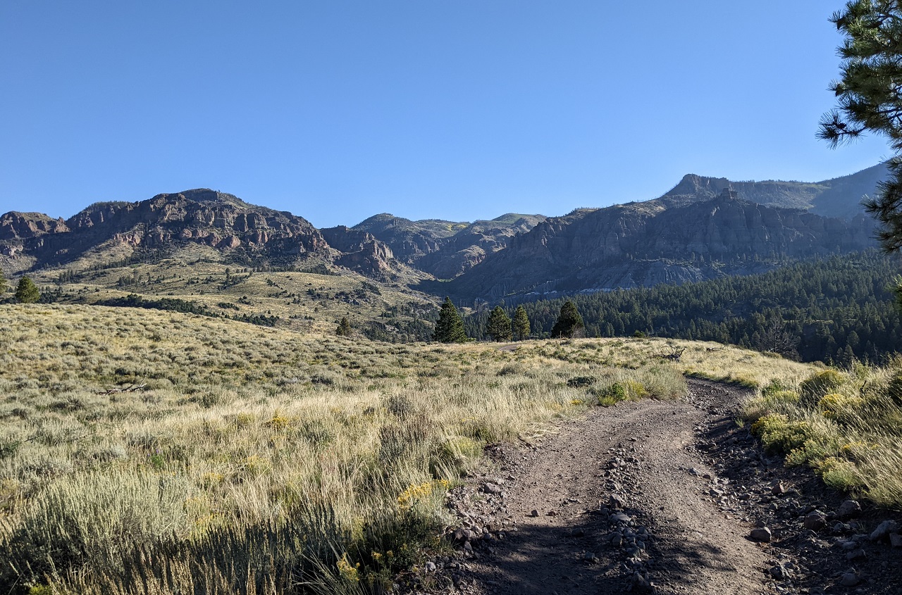
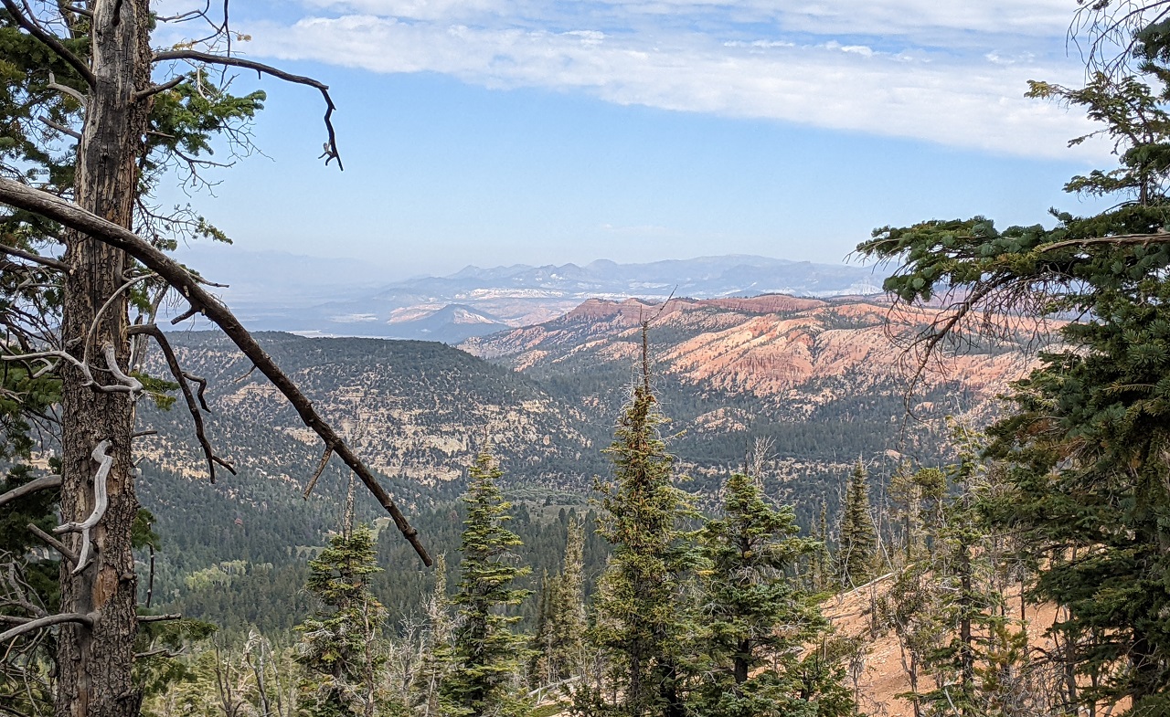
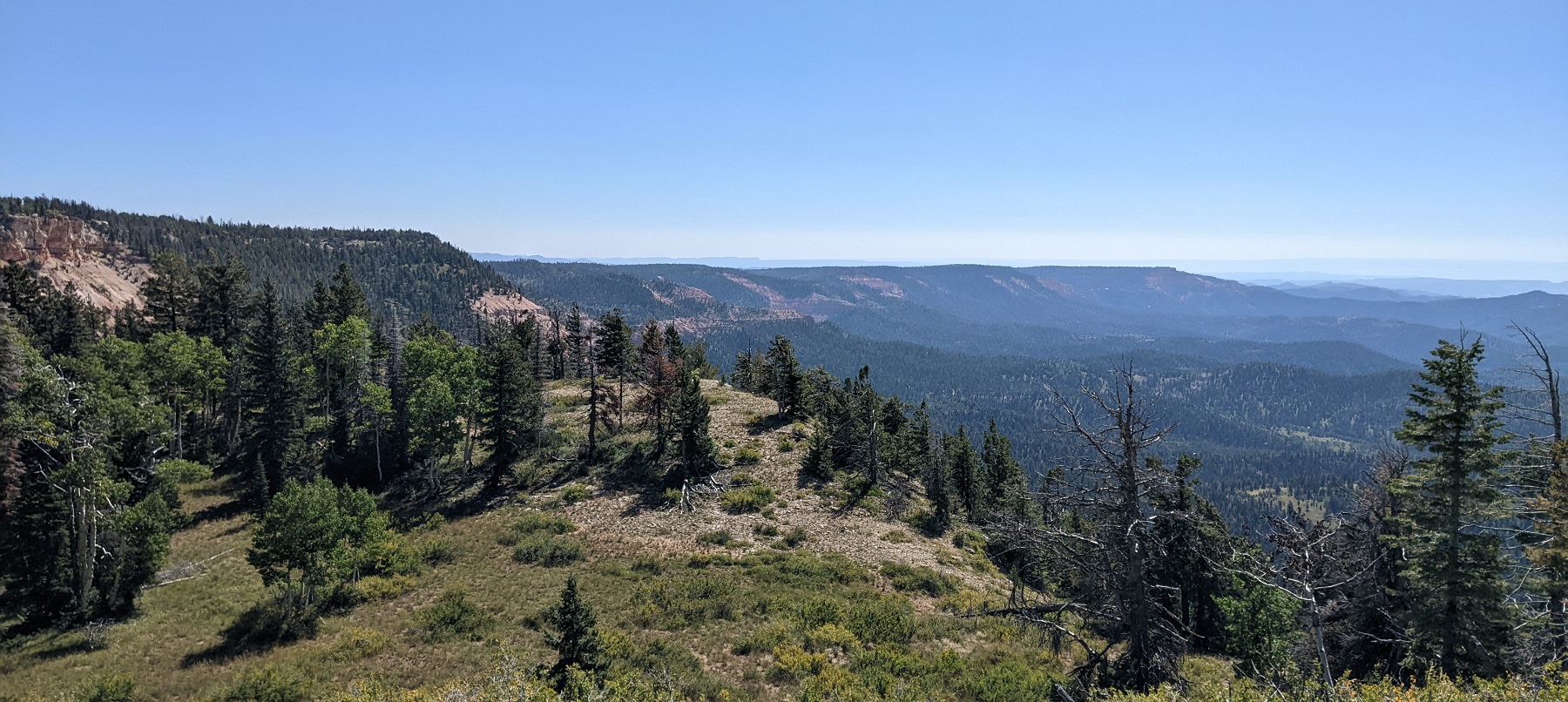
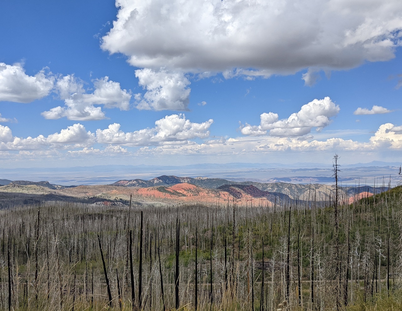
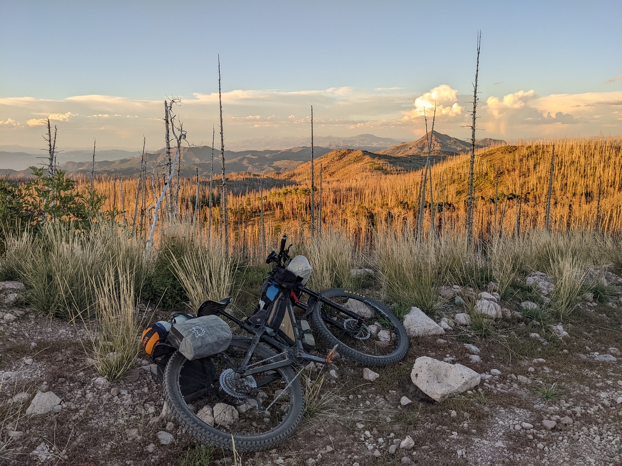
Enjoying the view during a snack break at the top of the pass
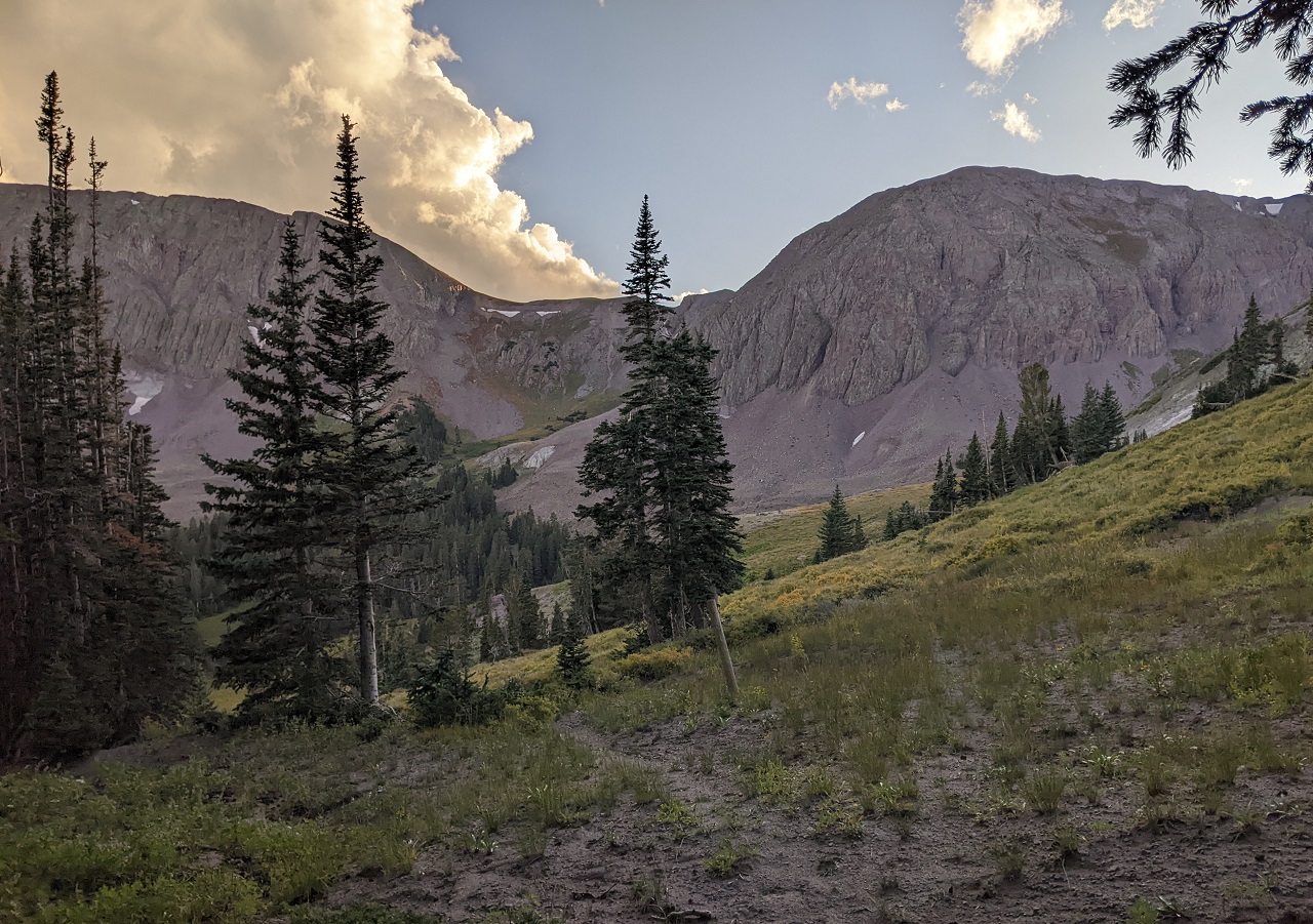
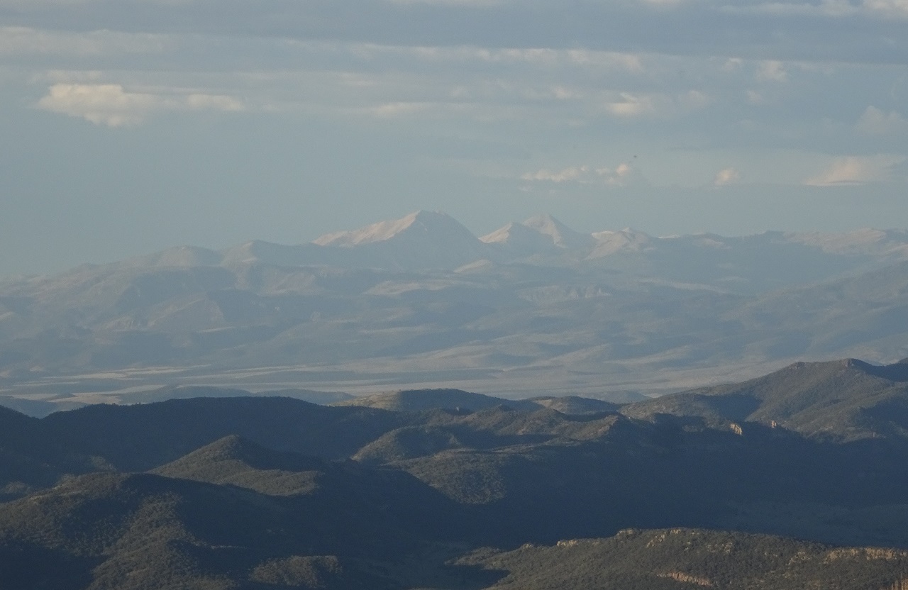
Those distant mountains are where I'm heading tomorrow
Spruce Trail actually ends just out of sight in a valley below. The 311 route doesn't use it beyond the pass I'd just been at though. It is probably in terrible shape below, but it's something to look at for later.
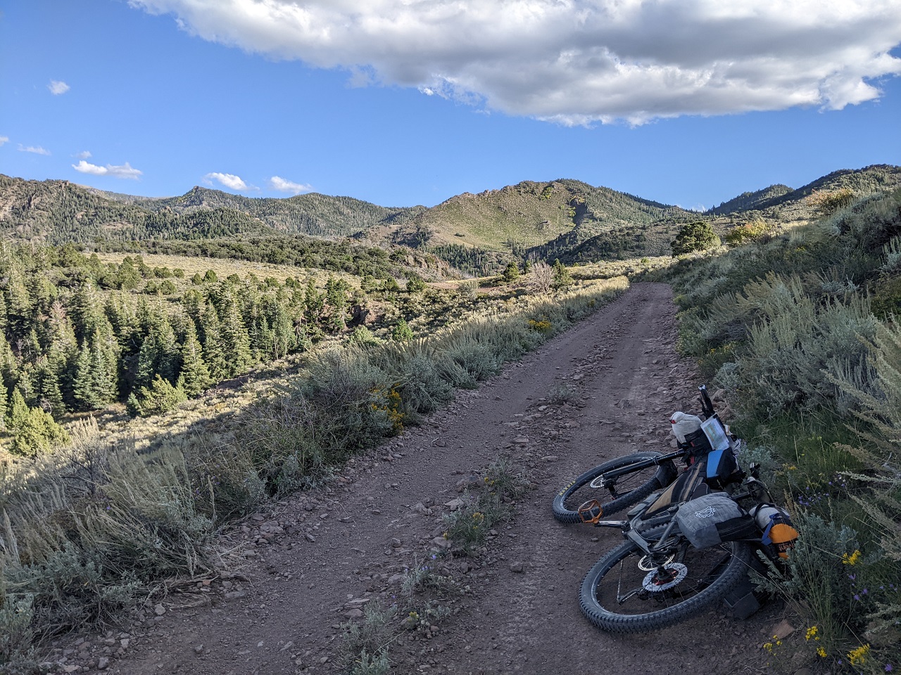
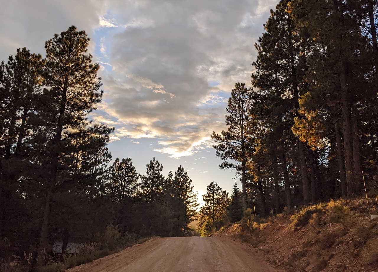
I love a sunset up high, but it was getting chilly and time to keep moving.
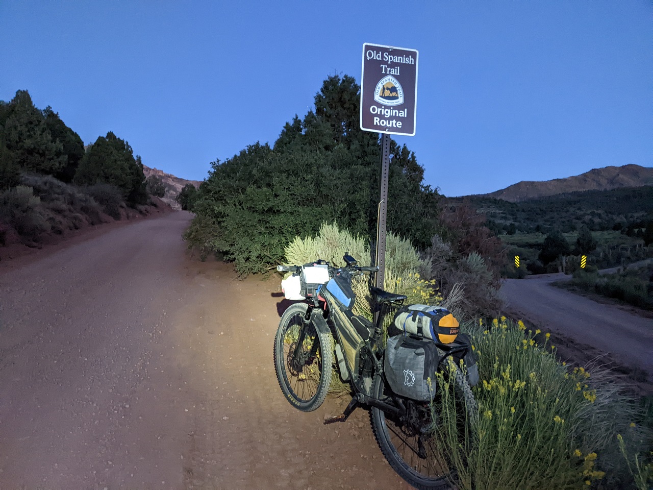
I made quick time dropping down low as the road was still in good shape. I hit the valley bottom at dusk and turned onto the Old Spanish Trail
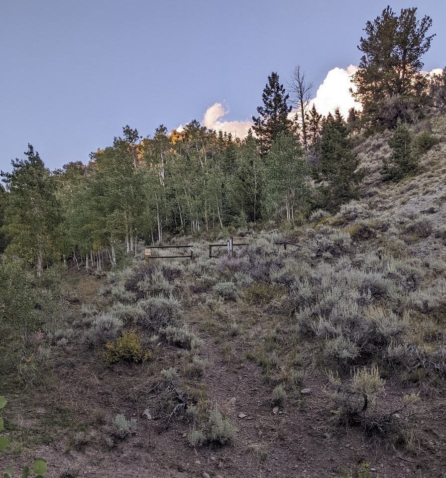
It was only a few miles to Willow Creek Trail, the next unknown.
I hiked up it a couple hundred meters and didn't like what I saw...steep trail that was trenched out by ATVs. Wasn't interested in that and navigating possible washouts in the dark, so I opted for the bypass again.
I actually did go back after finishing the bikepack and rode the trail. It was overgrown enough with sage and other brush to be annoying but was mostly ok, just slow going. No big washouts and not excessive deadfall. It'll probably stay in the route.
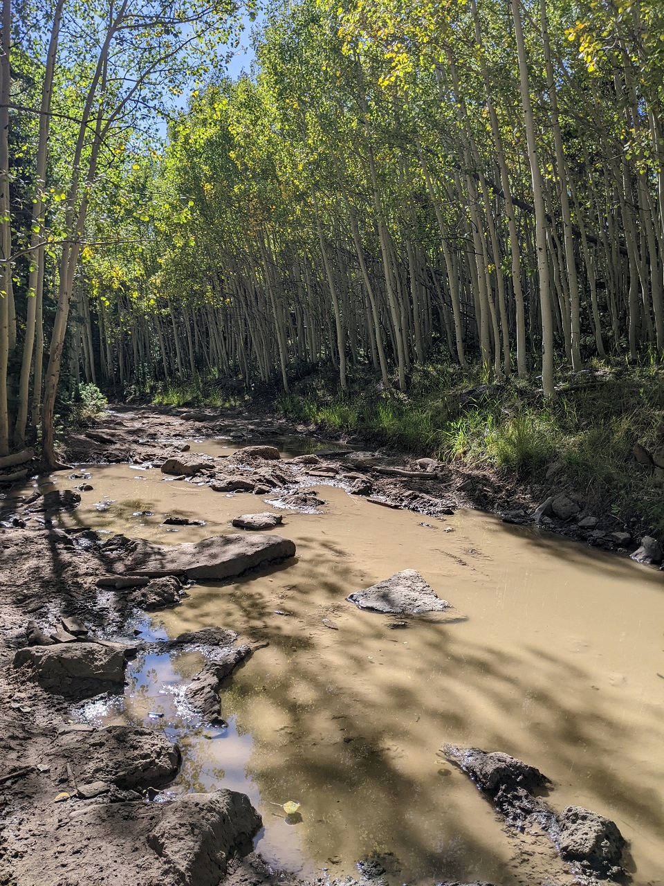
The bypass turned off the Spanish Trail onto a side road that was narrow and primitive. Where Willow Creek met up with it, there was a stream crossing to filter from. I walked a bit of the trail on that side and lost it among the cow paths.
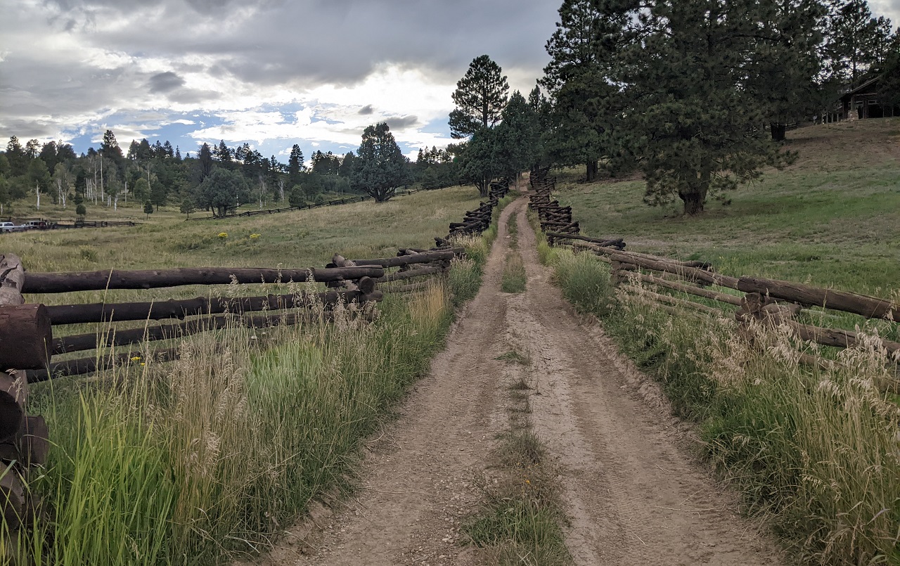
I rode a couple miles on this road down canyon before turning up an old ranch road up another draw.
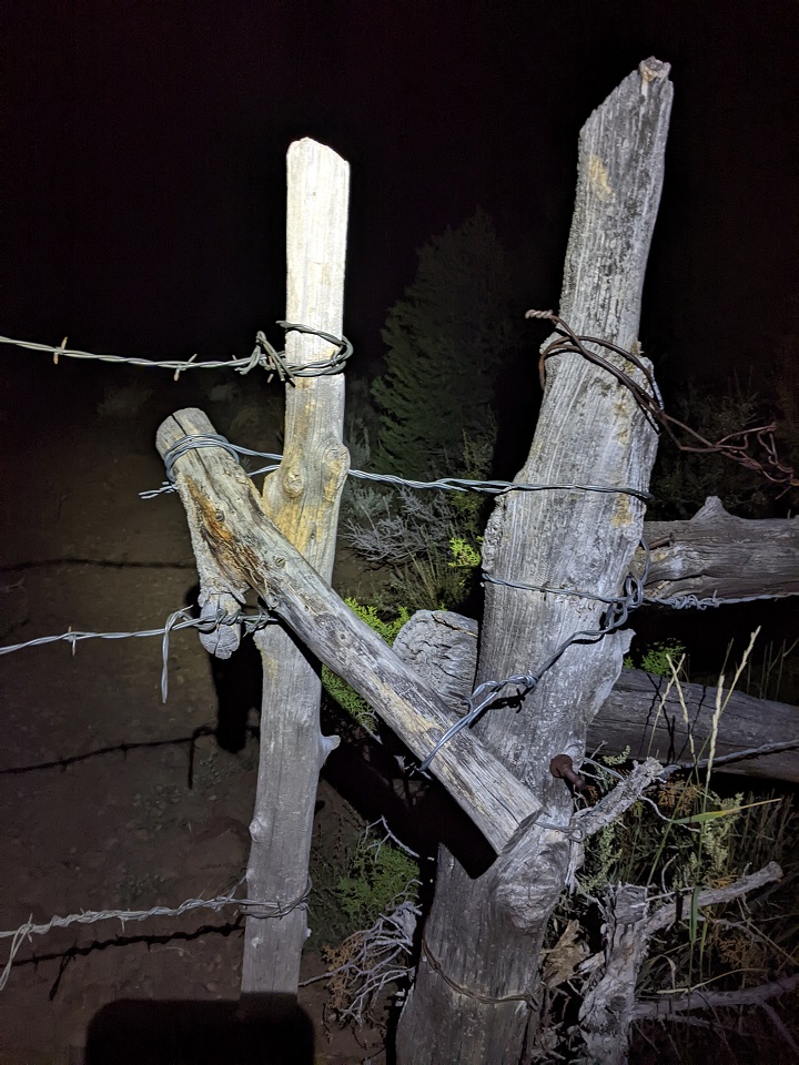
UT one-up's AZ in hard to open ranch gates. Came across this one at the top. I had to hop the fence and open it from the far side, couldn't get enough leverage on the cross piece to get the wire off.
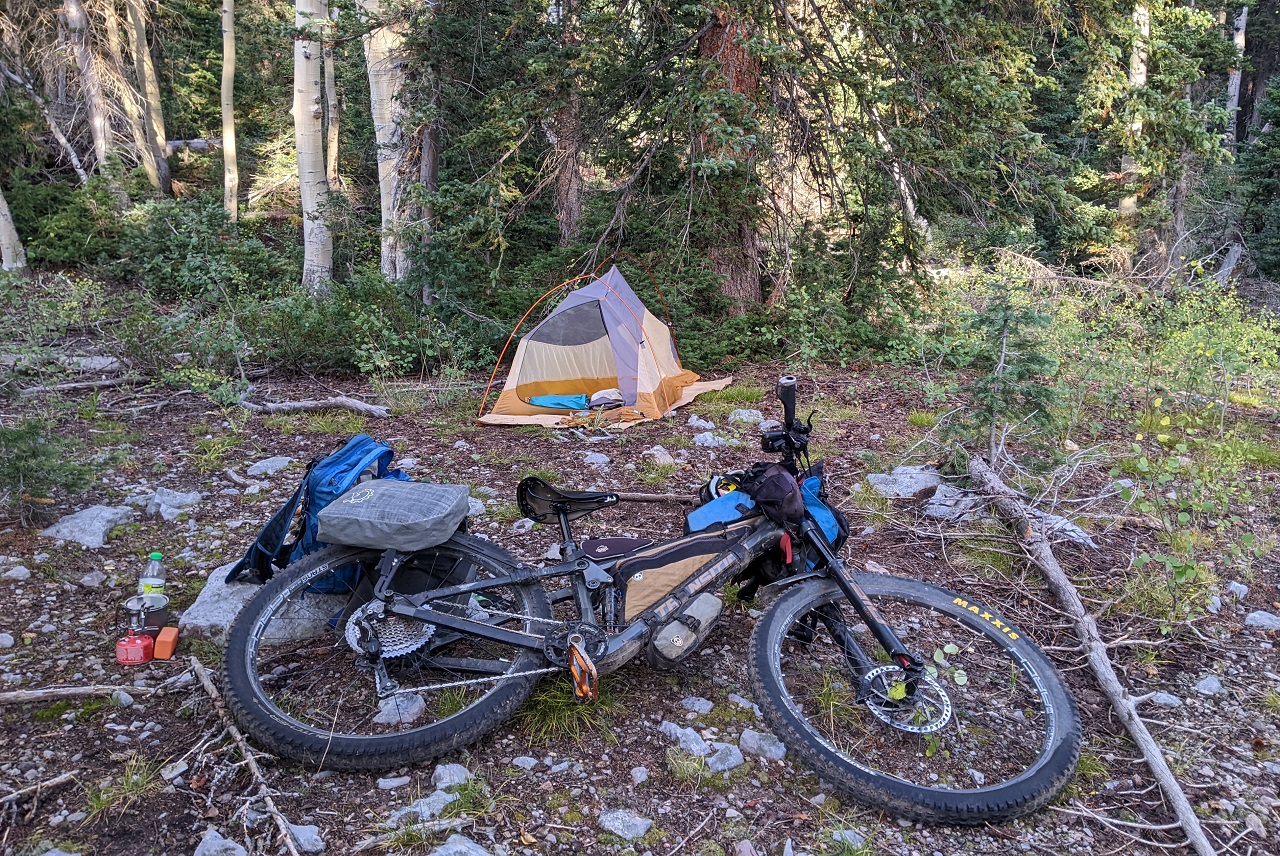
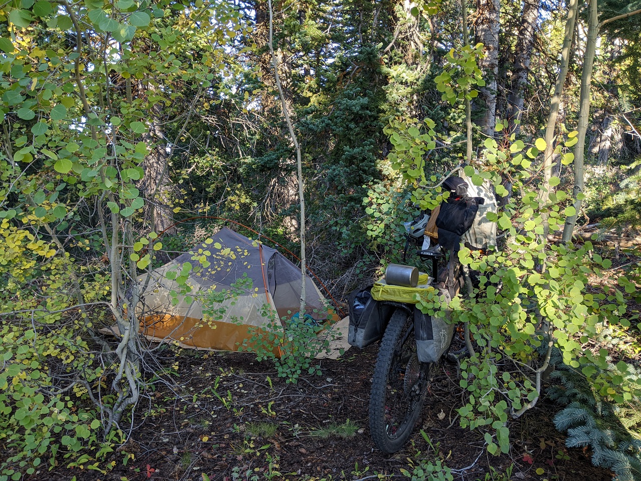
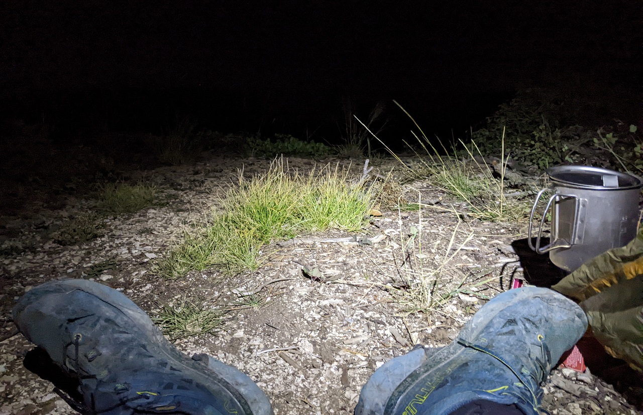
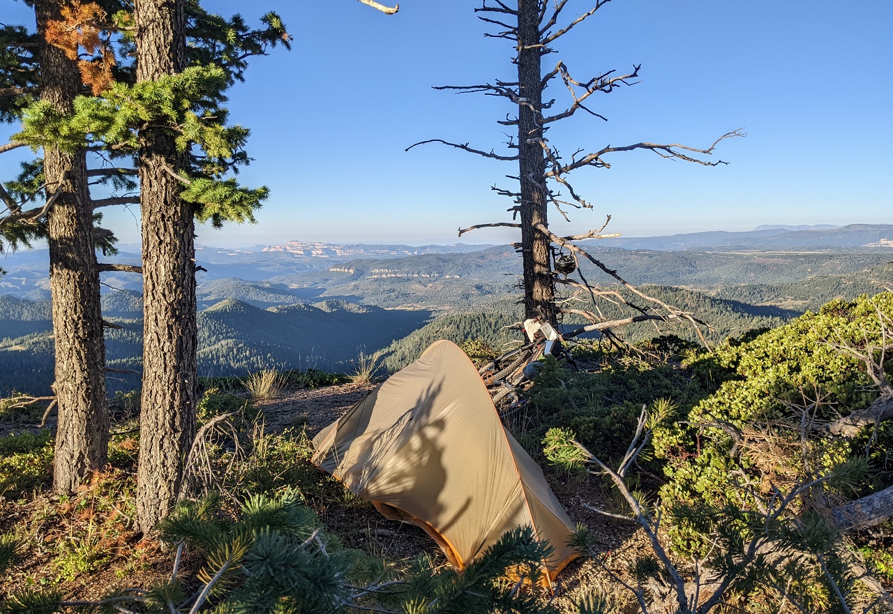
Climbing out of the canyon got me out of a cold air drainage and I didn't want to drop down into another one on the far side. I was hungry and there was a flat spot, so it seemed like a good place to camp. Quick dinner and I was out.
Stats for the day were around 53mi and 8k of gain.
Results 1 to 25 of 29
Thread: TR - Resurrecting the Dixie 311
-
11-06-2023, 11:46 PM #1

 Registered User
- Join Date
- May 2012
- Location
- People's Republic of OB
- Posts
- 5,264
TR - Resurrecting the Dixie 311
Last edited by evdog; 06-25-2024 at 01:15 PM. Reason: fix links
-
11-07-2023, 10:51 AM #2
Registered User
- Join Date
- May 2012
- Location
- People's Republic of OB
- Posts
- 5,264
Day 2
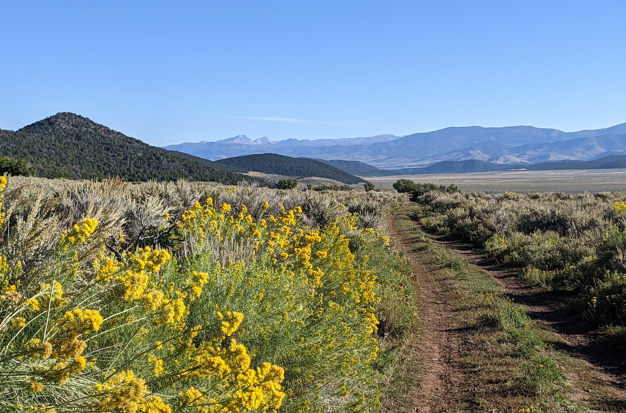
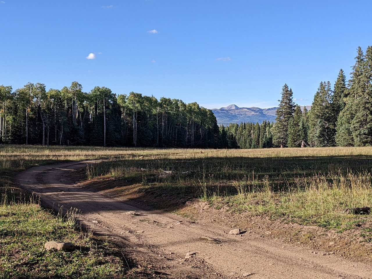
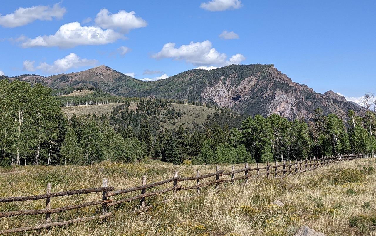
I woke at sunrise to a pretty nice morning. Hadn't set up my tent so I was pretty quick to get ready and go. The goal was to get as high up in those distant mountains as possible.
The morning started off with about 10 miles of gentle downhill that I was able to knock out pretty quick
Then the climbing started on some powerline road and graded dirt road. It was pretty quiet though, and scenic.
After a bit more traversing here I would turn onto one of the Paiute ATV trails where the real climbing would begin. Almost 3k in 7 miles.
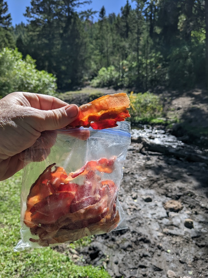
But first, a home-cooked snack that is hard to beat. And filtering water.
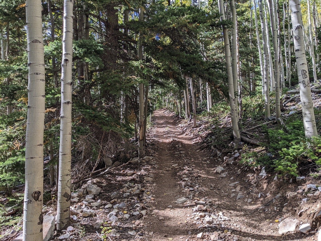
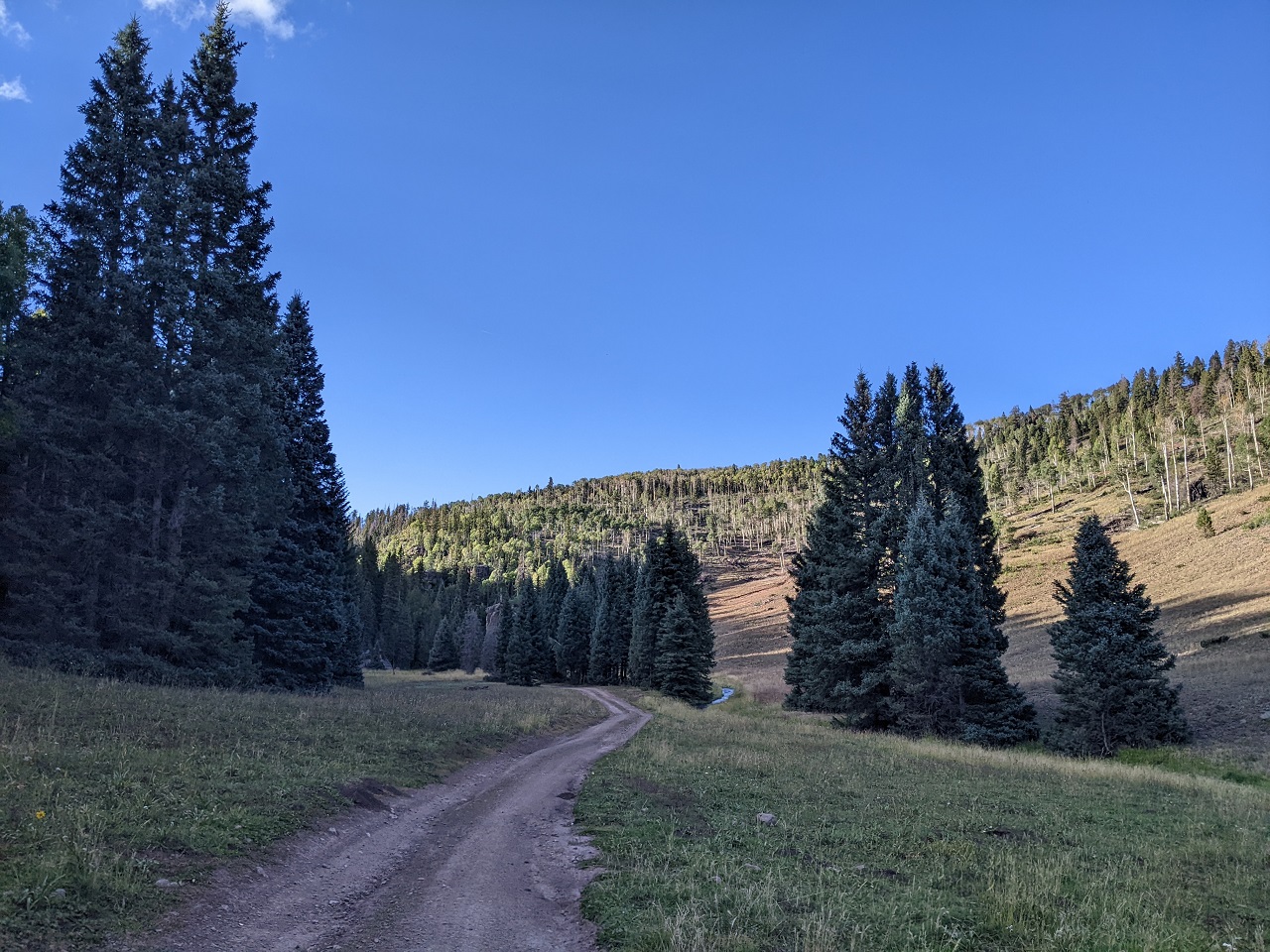
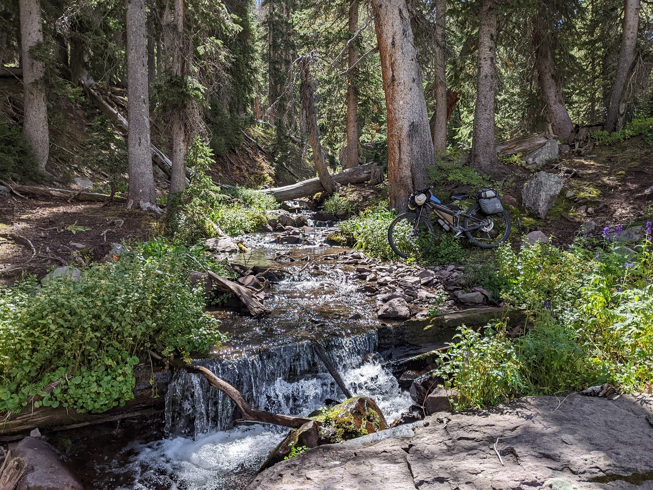
The ATV trail was surprisingly nice. At least, the first 3 miles were. It was very climbable and narrow (limited to dirt bikes and ATVs less than 50" wide) and ran through nice forest with a stream alongside.
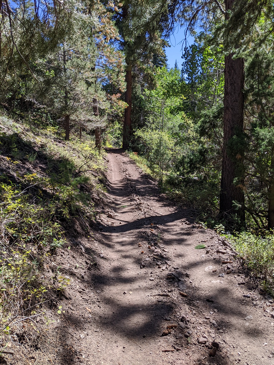
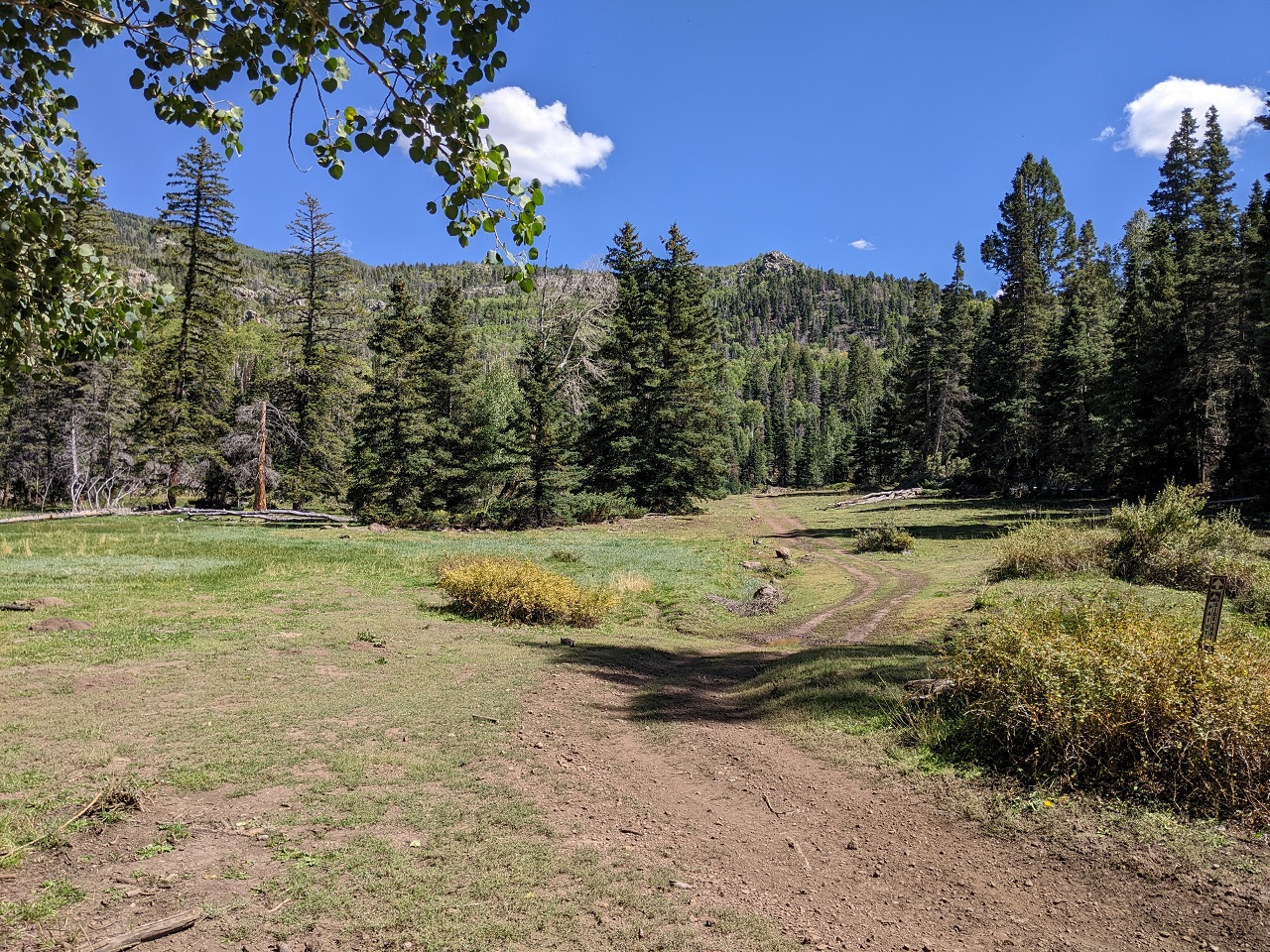
I started hitting some steeper sections but it would always level out for a bit. Nice meadow in here.
Getting steeper and rockier. By now I was getting off the bike more to push.
I came across this picnic table in the middle of nowhere, which I took advantage of. I'd see these in a number of places along the Paiute Trails.
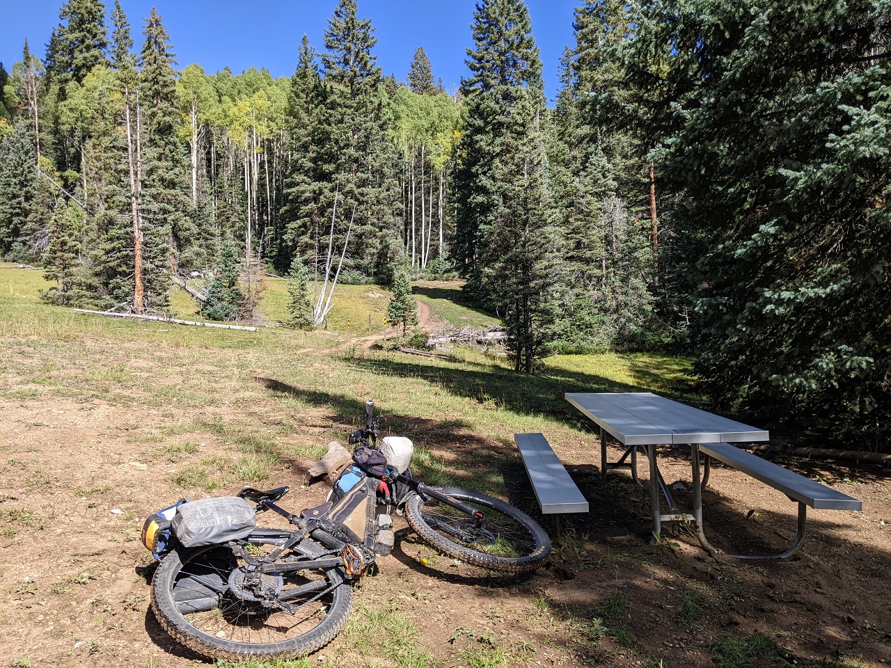
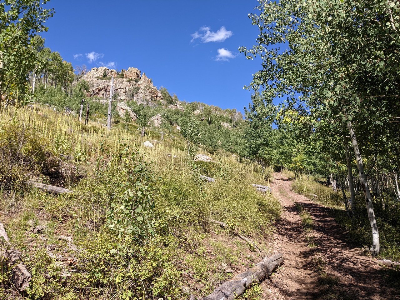
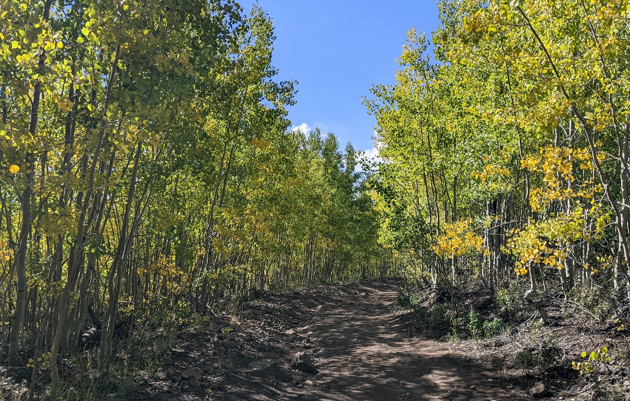
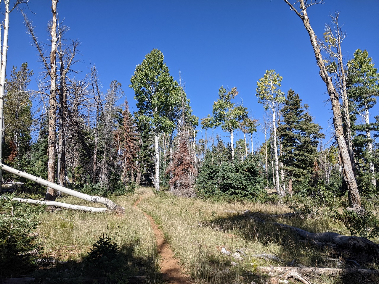
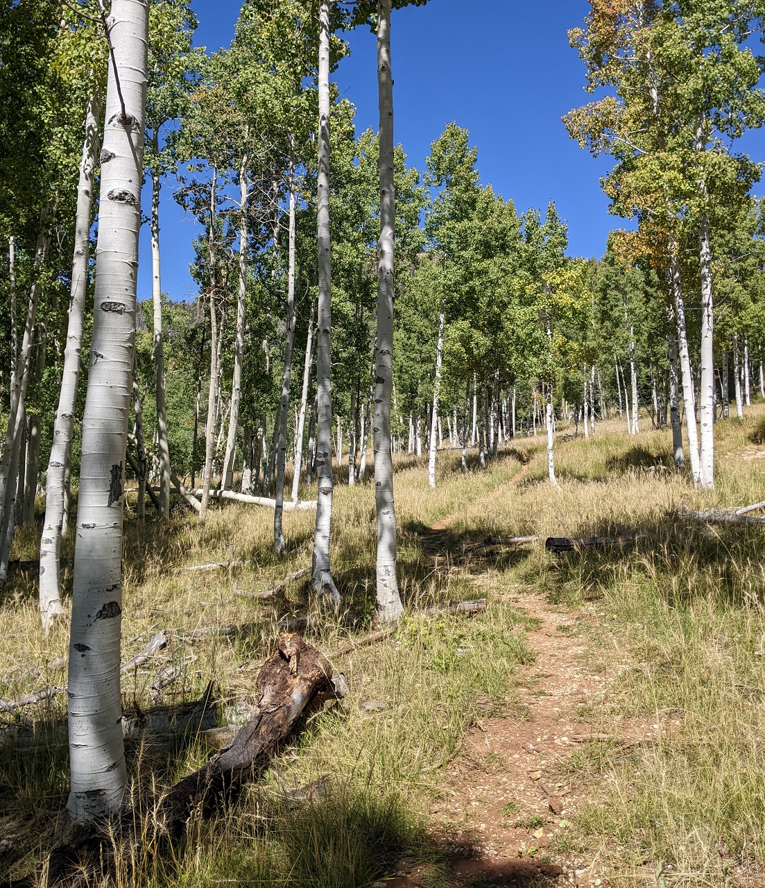
Getting near the top the trail got into some aspen groves. This was mid Sept and just the first hints of color were showing.
I finally topped out and a short descent on forest road linked to another ATV trail. I found some brand new ATV trail construction and re-routes that weren't on maps yet, and cut out probably a mile of forest road.
The route would trend downhill for a while but there was plenty of incidental climbing. And some random challenges like stream crossings and huge puddles.
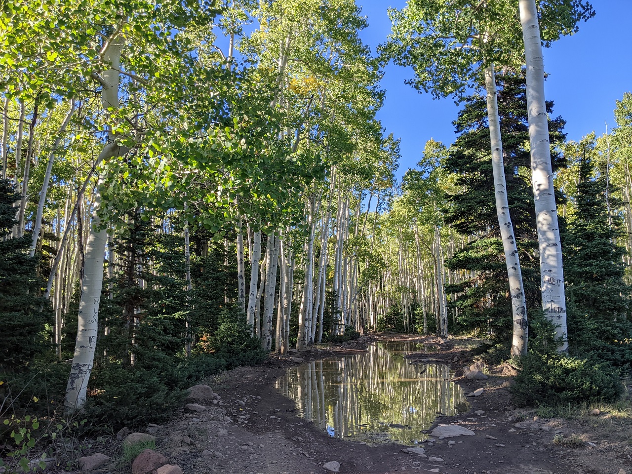
Dropping down just to climb back over another ridge
Starting to get closer! Hwy 153 is just over the next ridge.
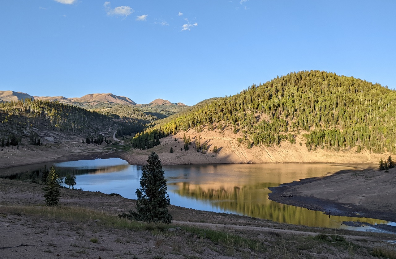
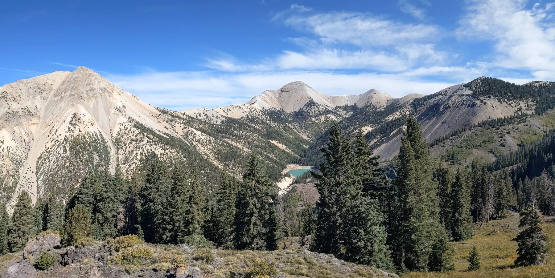
Last time I was here this reservoir was dry. Good to see it back. Look close and you might spot the guy fishing on the right hand side.
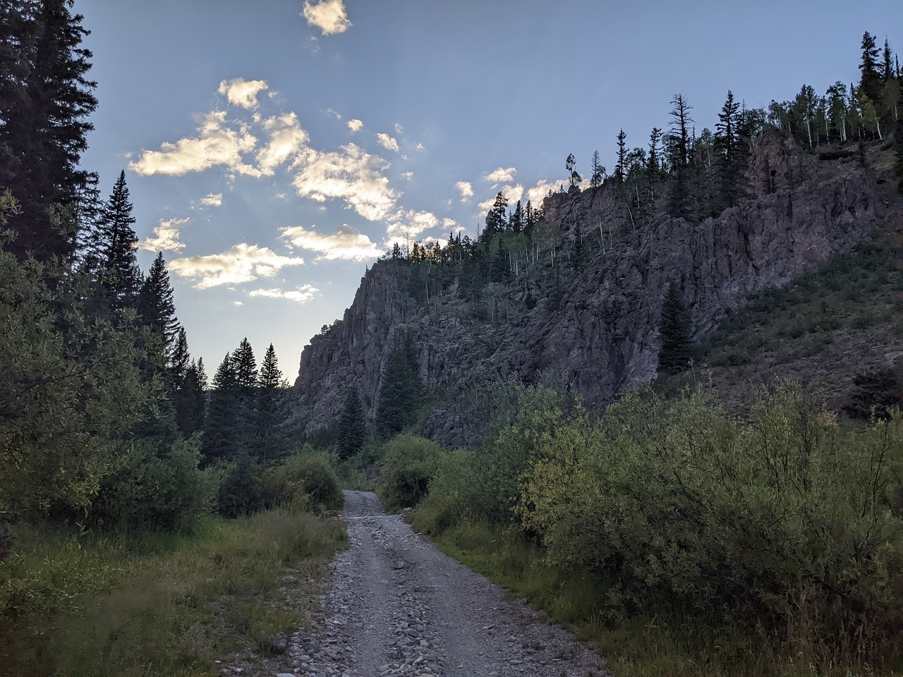
Below the reservoir another ATV trail connects over to the highway through a cool little canyon. 50" wide bridges prevent trespass by side-by-sides.
Since it was getting dark I decided to take a shortcut and climb up a more direct trail than what I had included as the route. In the spirit of scouting I also wanted to see how this trail rode as a climb, since I had only descended it before.
The verdict was good, though it became hard to follow in a few spots crossing meadows.
The bigger problem came on the next trail I connected to, which had a ton of downed trees. I often seem to encounter obstacles like this after dark when I'm getting tired. It was especially frustrating as I have usually found minimal deadfall on trails in the Tushars. Trying to push on was definitely resulting in diminishing returns on my effort. But I hadn't seen a flat spot to camp in awhile and I wanted to get out of the creek drainage I was in, hoping for warmer temps.
I eventually found a nice flat spot part way up a slope where the air wasn't as damp. It was still colder so the tent went up while water boiled for dinner.
The day went pretty well. The ATV trails were tough but not terrible. I crossed a number of non-motorized trails I'd seen on maps that looked promising on the ground. Some research and scouting is in order to see if they would be suitable for the route.
Stats - 46mi, +7050/-4900 ft, 14 hrsLast edited by evdog; 06-25-2024 at 01:16 PM. Reason: fix links
-
11-07-2023, 11:38 AM #3
 Registered User
- Join Date
- Dec 2009
- Posts
- 5,403
The Dixie and Fishlake NF is a special place.
dirtbag, not a dentist
-
11-07-2023, 12:21 PM #4
Registered User
- Join Date
- May 2012
- Location
- People's Republic of OB
- Posts
- 5,264
For sure! I wish I lived closer, I'd have a lifetime worth of trails to work on. Originally Posted by raisingarizona13

-
11-07-2023, 12:23 PM #5
Registered User
- Join Date
- May 2012
- Location
- People's Republic of OB
- Posts
- 5,264
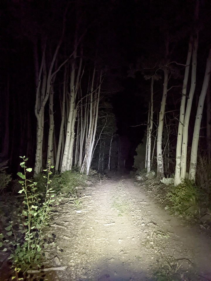
Day 3
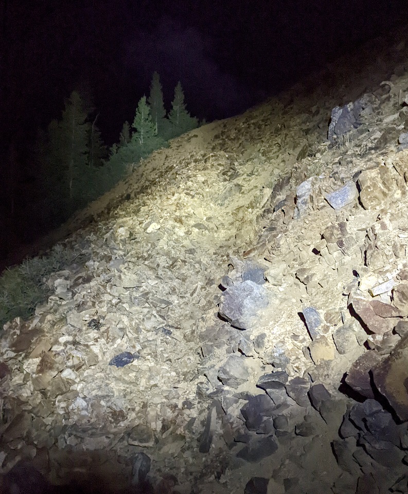
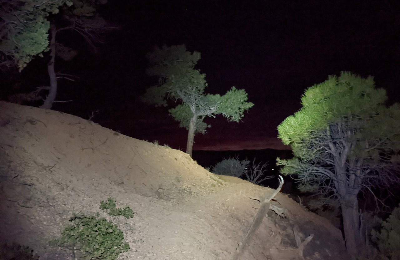
I had already woken up a couple times to add air to my sleeping pad which had a slow leak. The last time check said 530am, still 90 min until sunrise. I opened my eyes a little while later and it was light out. No wait, the light suddenly moved and I realized that someone had shined a flashlight on my tent. Then I heard the crunch of footsteps and saw another flash of light as a second person went by. I hadn't even thought of hunting season. Who else would be out here, miles from the nearest trailhead an hour before sunrise? Bears don't carry flashlights (far as I know), so I rolled over again and went back to sleep for another hour once darkness and quiet returned.
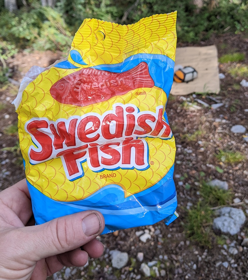
Breakfast of champions. I'd have real breakfast once I got into a sunny spot
There was no warmup this morning. I had camped on the climb to Blue Lake and got right into it. It was a solid 90 min of climbing to the top.
Interestingly I ran into a group of 7-8 hunters a mile or so up trail, but they had come down from the top and were not the ones who walked past my camp. They said it was opening day of rifle season for elk.
Love this trail, it's one of the main reasons I wanted to extend the 311 up here.
Nice view of Blue Lake and surrounding peaks
The climb out is memorable as well. The lower part of the road had some washouts but the upper part was it's normal shale-y, rocky self. Some pushing ensued.
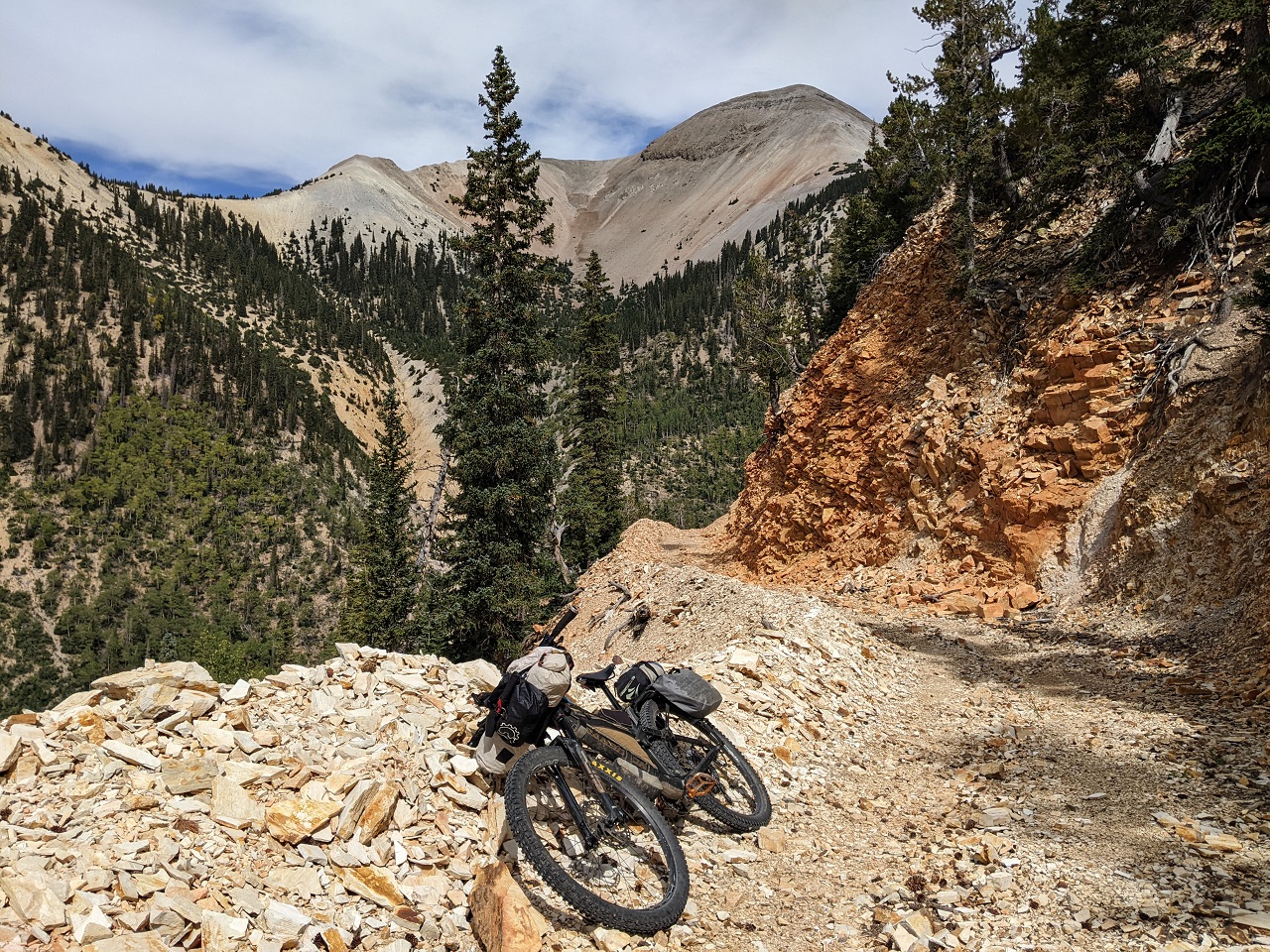
It didn't take long to get up to top and I was soon dropping in to Bullion Pasture
This segment was another I was looking forward to, but also dreading because I know how hard the riding is, even when unloaded.
Filled up with water and had a snack at this crossing
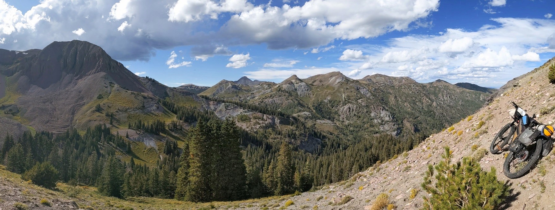
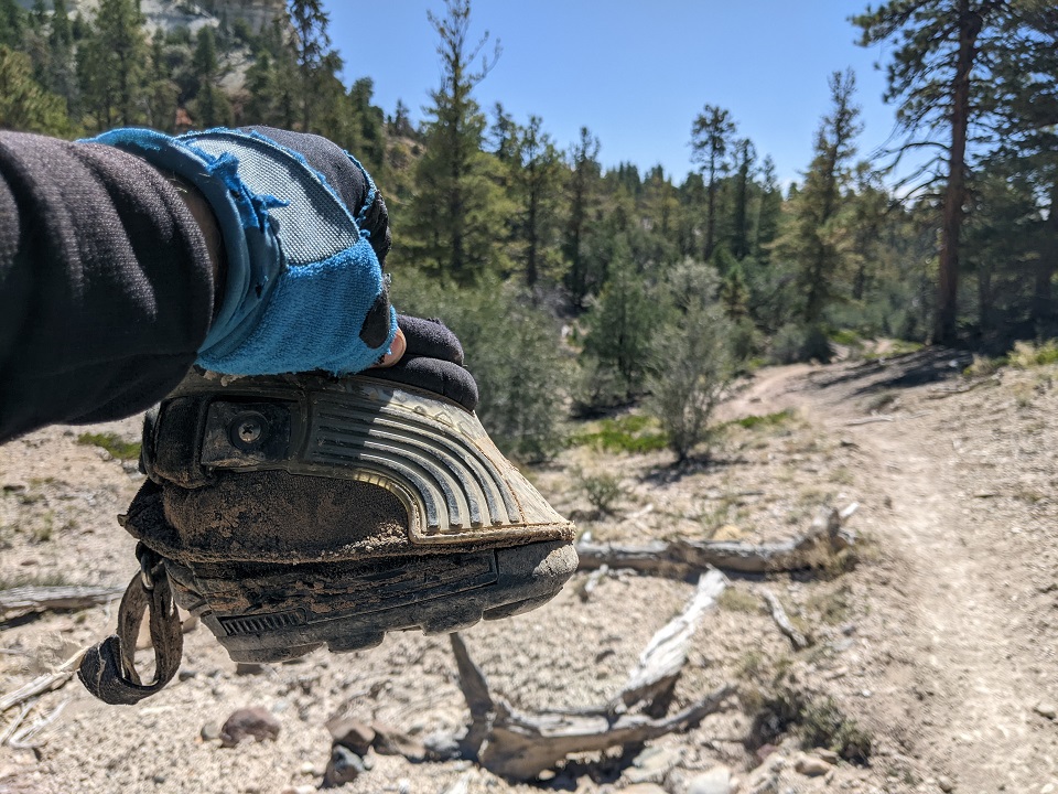
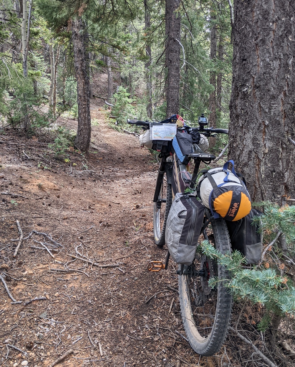
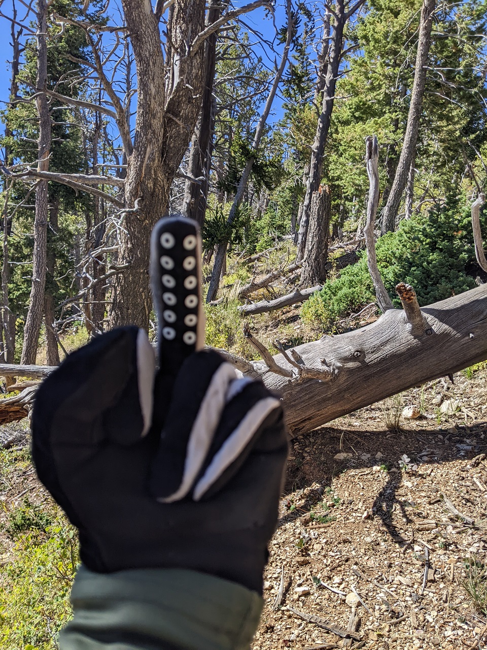
New hood ornament for the Spur
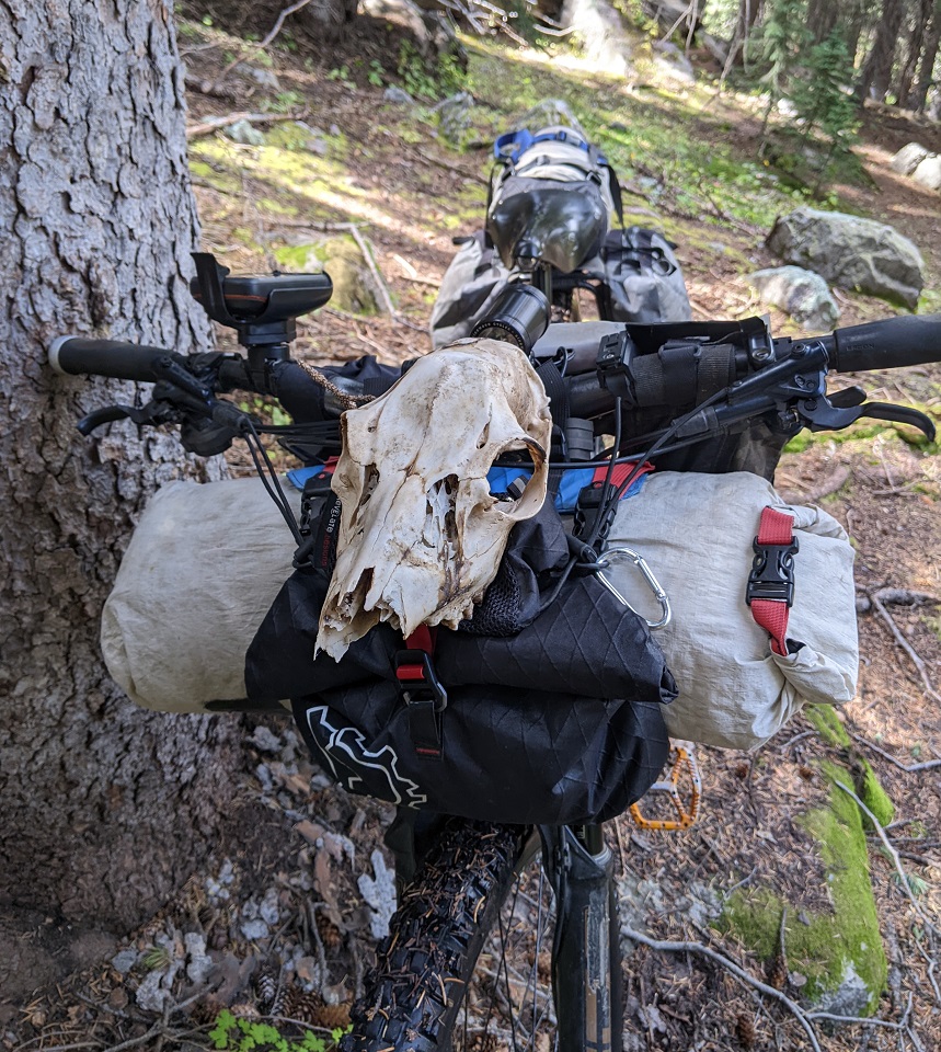
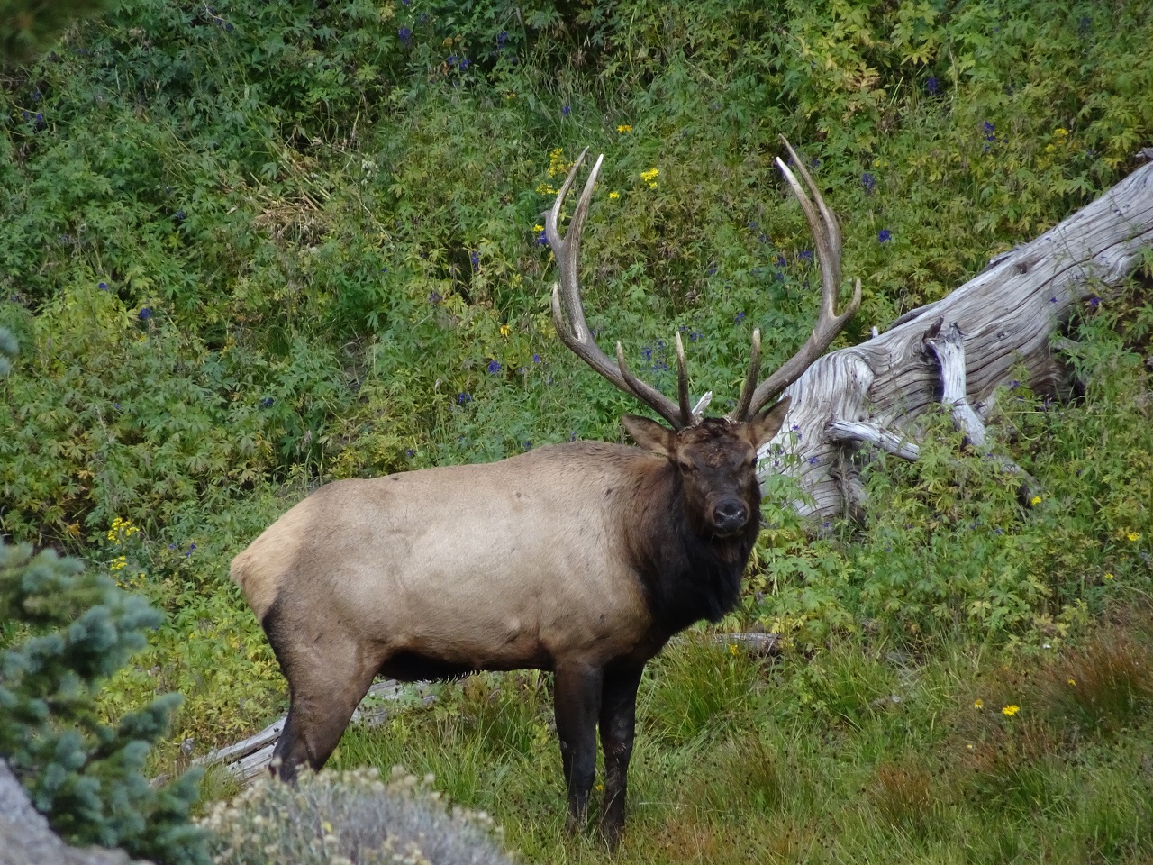
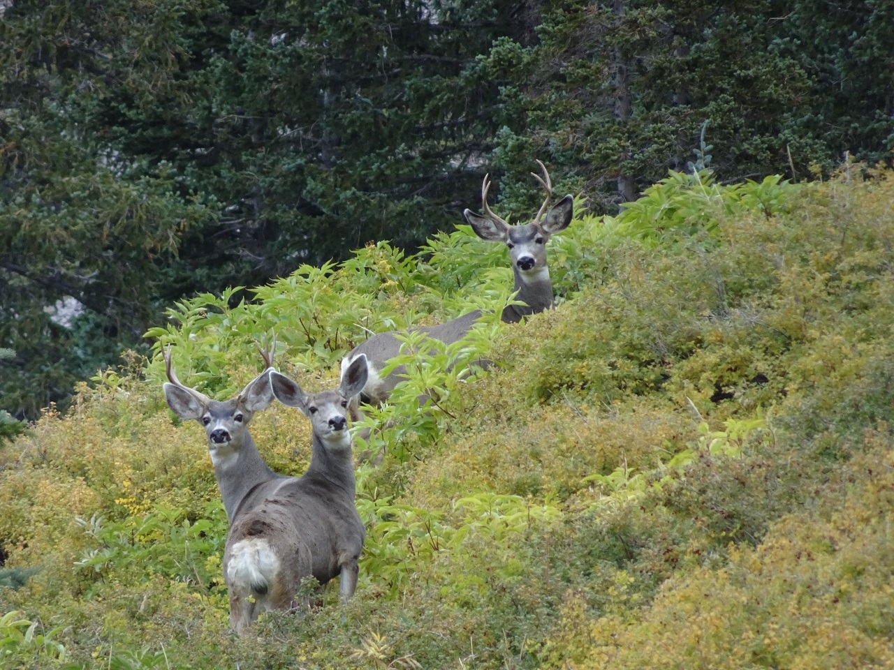
Came around a corner, and saw this guy maybe 100 ft away. Where's my gun when I need it??? The hunters I saw were 10 miles away. Don't think anyone would be hiking this far in....it was work to get here. We stared each other down for a full minute, then he sauntered off. I had some more awesome hike a bike to get to.
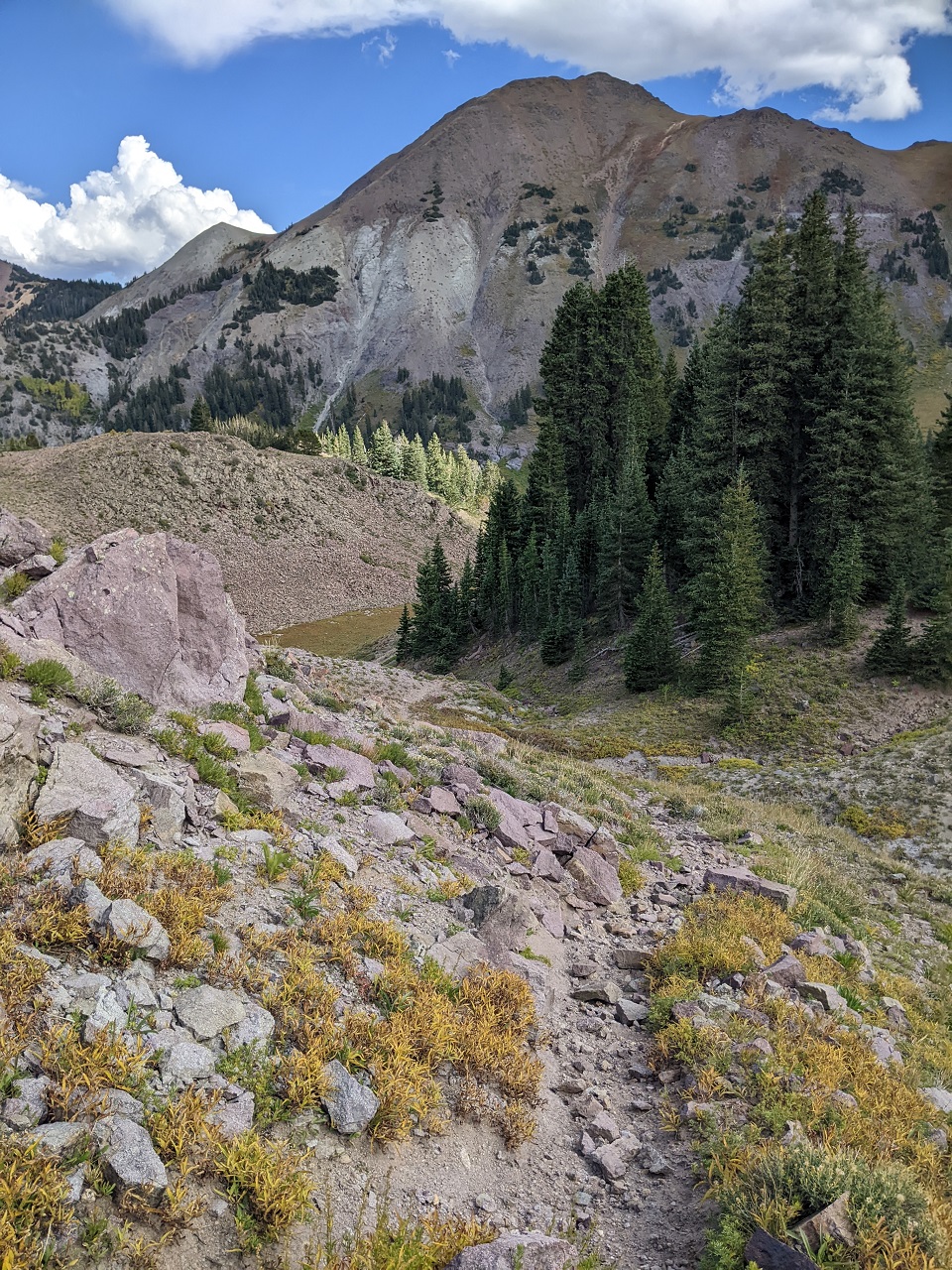
The trail was nice, but starting to get steep as I climbed around into The Pocket.
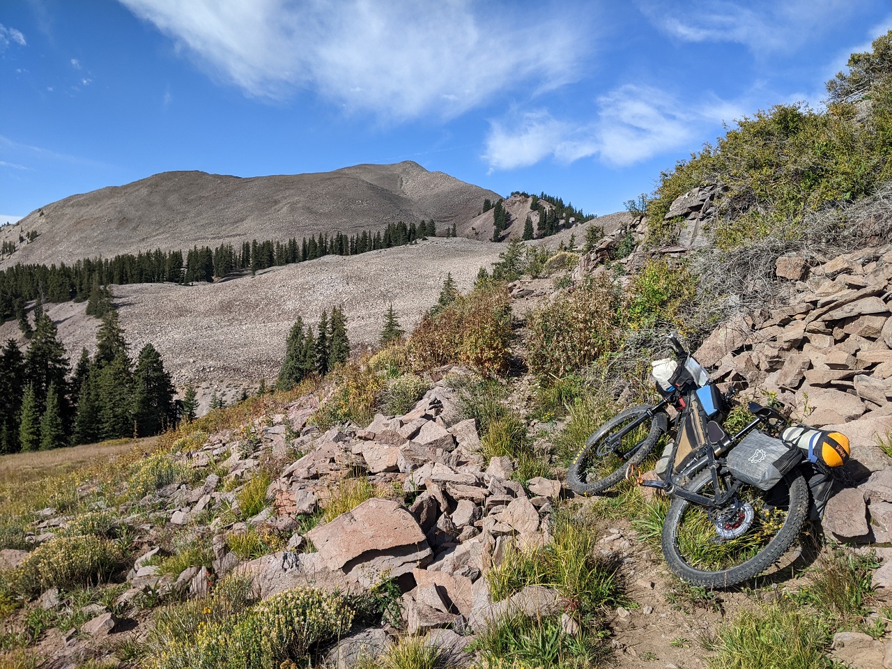
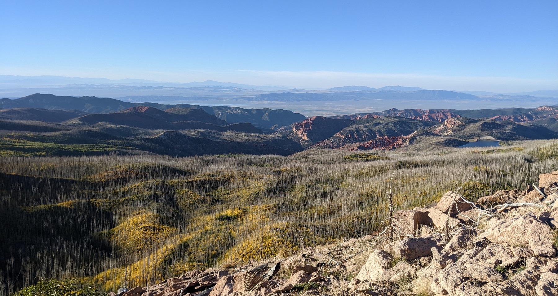
Getting up high, the views opened up. But the trail was about to get really hard.
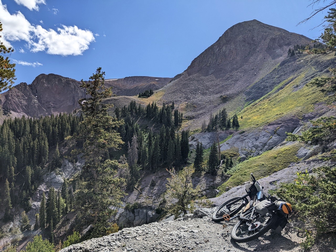
With sections of hike a bike up (thankfully always providing great views)
And down. This descent was sketchy unloaded. I wasn't going to risk it on a loaded bike. Steeper than it looks, and lots of big loose rocks.
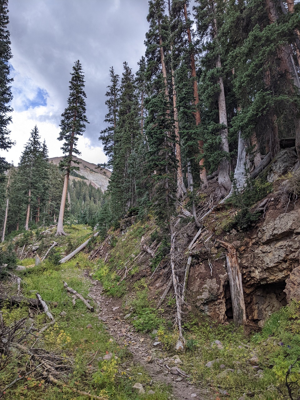
The downhill HAB fortunately leads to a couple miles of mostly nice trail. Some dark clouds had moved in though with occasional thunder so I was keeping an eye out for possible shelter as much as I was trying to follow the trail.
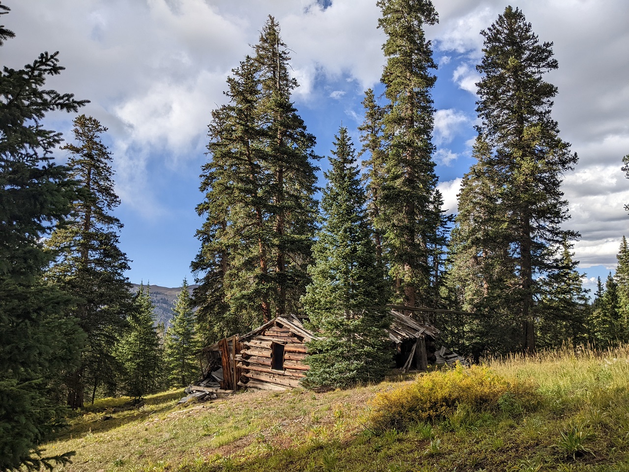
The Hantavirus Hotel here was one option, but the sun had come back out as I passed it, so I kept moving.
As I got part way up another climb I looked back and saw the sky was getting awfully grey. Overheating or running out of water were thankfully would not be an issue today.
After some tough, steep hike a bike the trail up to Alunite Ridge settles into a nice series of switchbacks that take me up to the top.
Nice and clear looking east, but I had snow flakes or light hail at the ridge top. I would follow the road less than a mile down and then turn back at the intersection below.
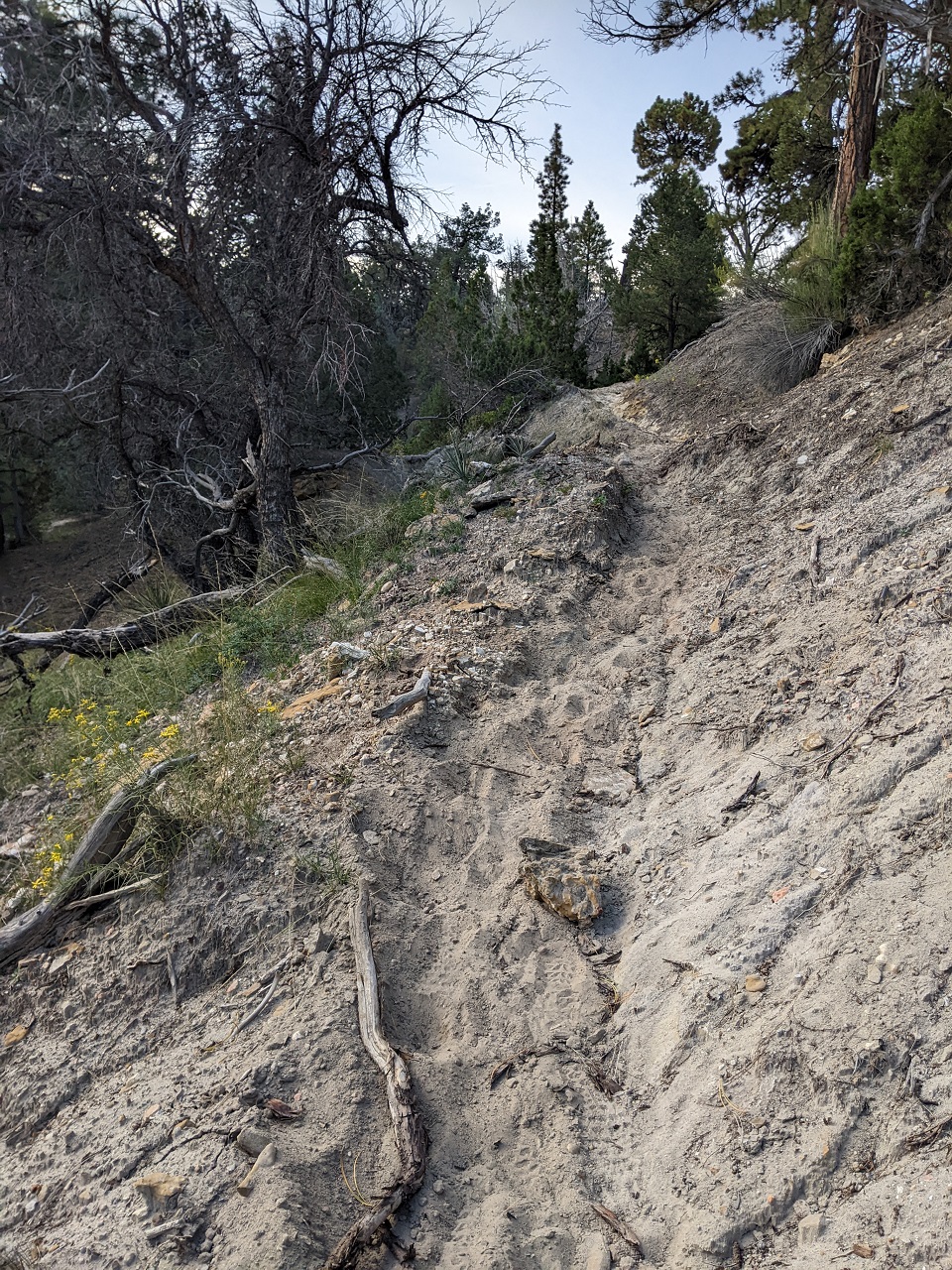
Back on singletrack. Little more than an hour of daylight left and some of the hardest trail coming up.
Oh hi. Spotted lots of deer on this side.
The trail on this side is super raw. Steep up and down, and lots of erosion damage to watch out for.
Did a couple more tough hike a bikes as it got dark. When I got to the top of this one the wind was picking up and I could see a lot of lightning to the south. It was a ways off, but as I dropped down I could tell it was getting closer. Time to find a campsite...
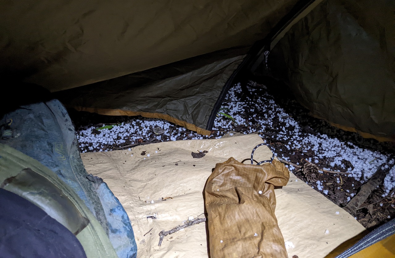
I was careful to find a spot on a mound, not in a depression that could fill with rain. Good timing, as hail started coming down just as I got the tent fly on. It was a scramble to get my gear inside the tent as the rain was not far behind. Would have liked to ride for another hour or so to make up some miles on the day, but I was worked. Quick dinner, and lights out. The rain was fairly heavy for a couple hours then mostly let up.
Stats - 23mi (!), +6,000/-5,200ft, 12 hrs.
*When I rode my Tushars loop as a day ride it took just over 12 hrs to do the full 40 mile loop!Last edited by evdog; 06-25-2024 at 01:18 PM. Reason: fix links
-
11-07-2023, 05:38 PM #6
Registered User
- Join Date
- May 2012
- Location
- People's Republic of OB
- Posts
- 5,264
Day 4
Fortunately there was only one day of sub par weather in the forecast, but I was still glad I brought the tent.
Shown here in a hidey-hole off the trail. Spent a bit of time drying things out in the sun before packing up.
All of the stream beds the last few hours of the previous day had been dry, so I was now low on water. I knew there was a stream not far below the ridge I was on so I decided to bail down a side trail to filter water. The road connected back to the route so I didn't lose any time.
Back on route I picked up the Paiute ATV trail again. This section cuts a corner on dirt Hwy 153 and goes through some pretty nice areas meadows and forest.
More aspens with a hint of color. It was still pretty stunning riding through here.
Much of the road was pretty nice. There were a couple steep rocky descents and I was happy to be riding them this direction.
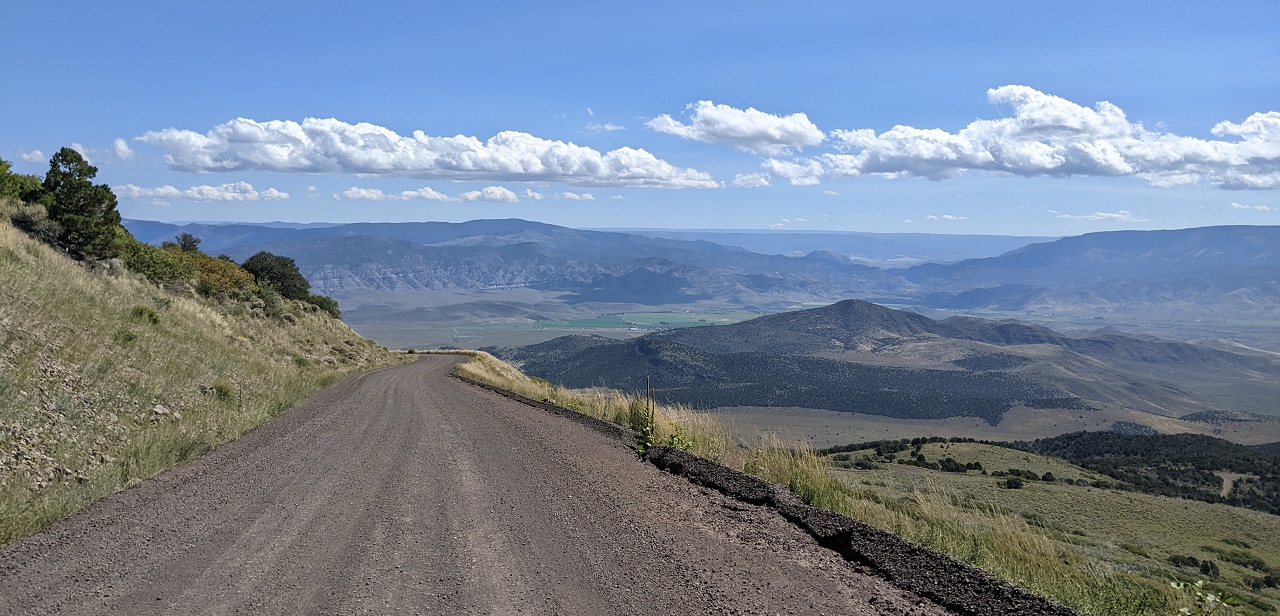
The route descends Hwy 153 for a few miles with great views back at the mountains and down towards Circleville.
There is a trail on the map that drops from the peak on the left down to the Hwy. Might be good for the route.
Circleville is just out of sight below
Looking south a formidable cliff band blocks any trail from dropping off the plateau. You can see an ATV trail traversing across below the cliff band.
The route follows that trail a short distance before turning steeply down another jeep trail. The steep one got loose and rocky, as steep jeep trails always do. I was later told the group that manages the Paiute ATV network does actively maintain them every few years by cleaning up the loose rock that gets churned up over time. Apparently this trail was due for a facelift.
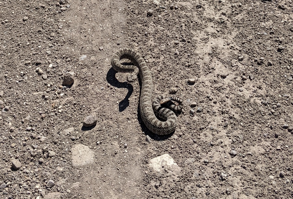
Came across this guy at the bottom and made sure he got off the road.
A few miles of flat pedaling into town brought me to the main intersection and Papa Rog's Food Truck. The Everything burrito hit the spot. I should have gotten a second one to go.
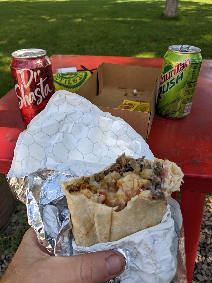
Resupplied food at the general store and then headed out south of town. More Paiute ATV trail coming up.
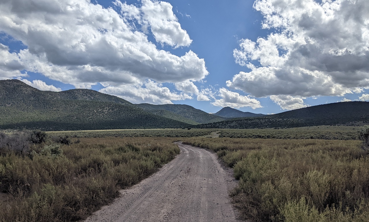
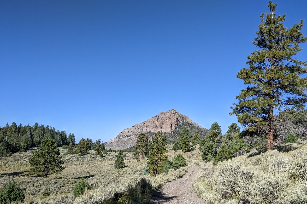
The trail was fairly easy climbing with just a few steep spots.
Heading toward that peak in the distance.
I came across a big ATV group here doing the main 300-mile Paiute ATV loop as an annaul vacation.
After cresting the high point of the road I started looking for the start of the Snowbank Trail. Rode past it twice before I spotted the fence and trail sign way back from the road. This is the trail pronounced to be in good shape by a hiker in 2022.
I walked a couple hundred yards and found the trail overgrown with sage brush with no visible trail tread. Easy to walk through, but not to push a bike. Coming all this way I really wanted to check it out. But it was just before sunset, not the best time to push up an unknown trail.
The bigger concern was getting through Snowbank, riding 7 miles of fire road south and then finding West Hunt and Hancock impassible. Satellite imagery didn't look promising for either. And I didn't have enough food or water if I got to West Hunt and had to turn around.
So I made the decision to take the bypass again and see what the other end of the trail looked like. Hopefully scout these trails after finishing the loop.
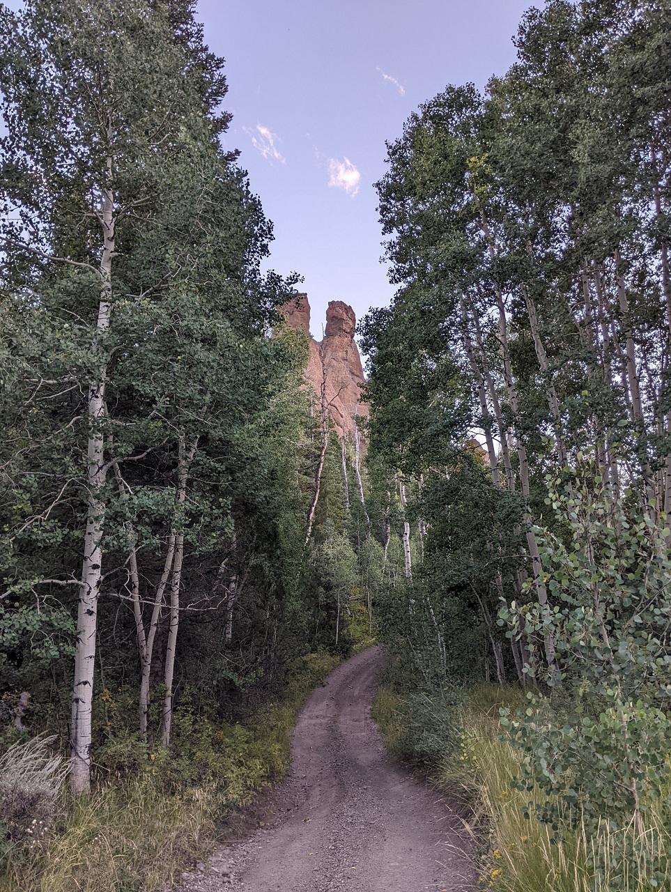
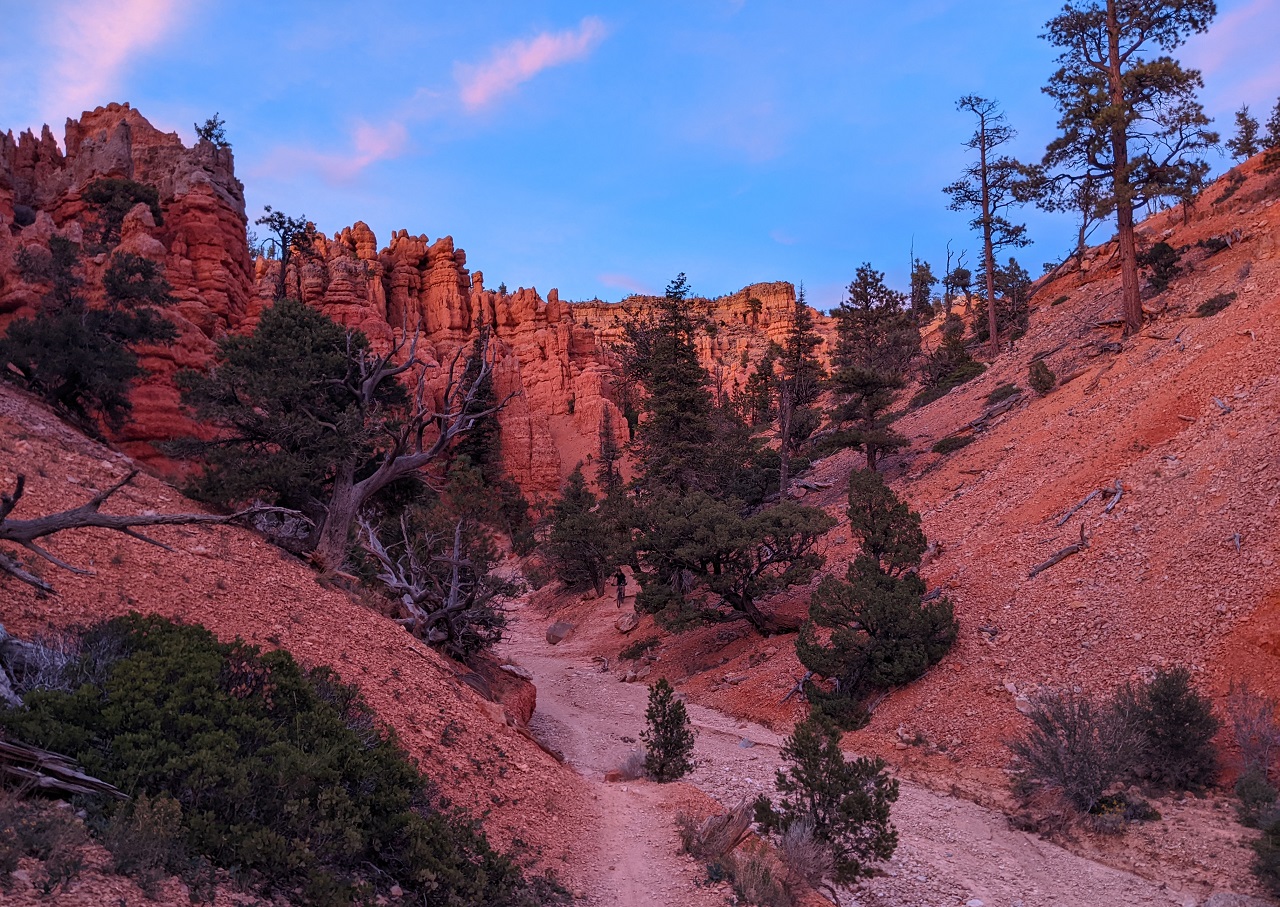
Snowbank Trail
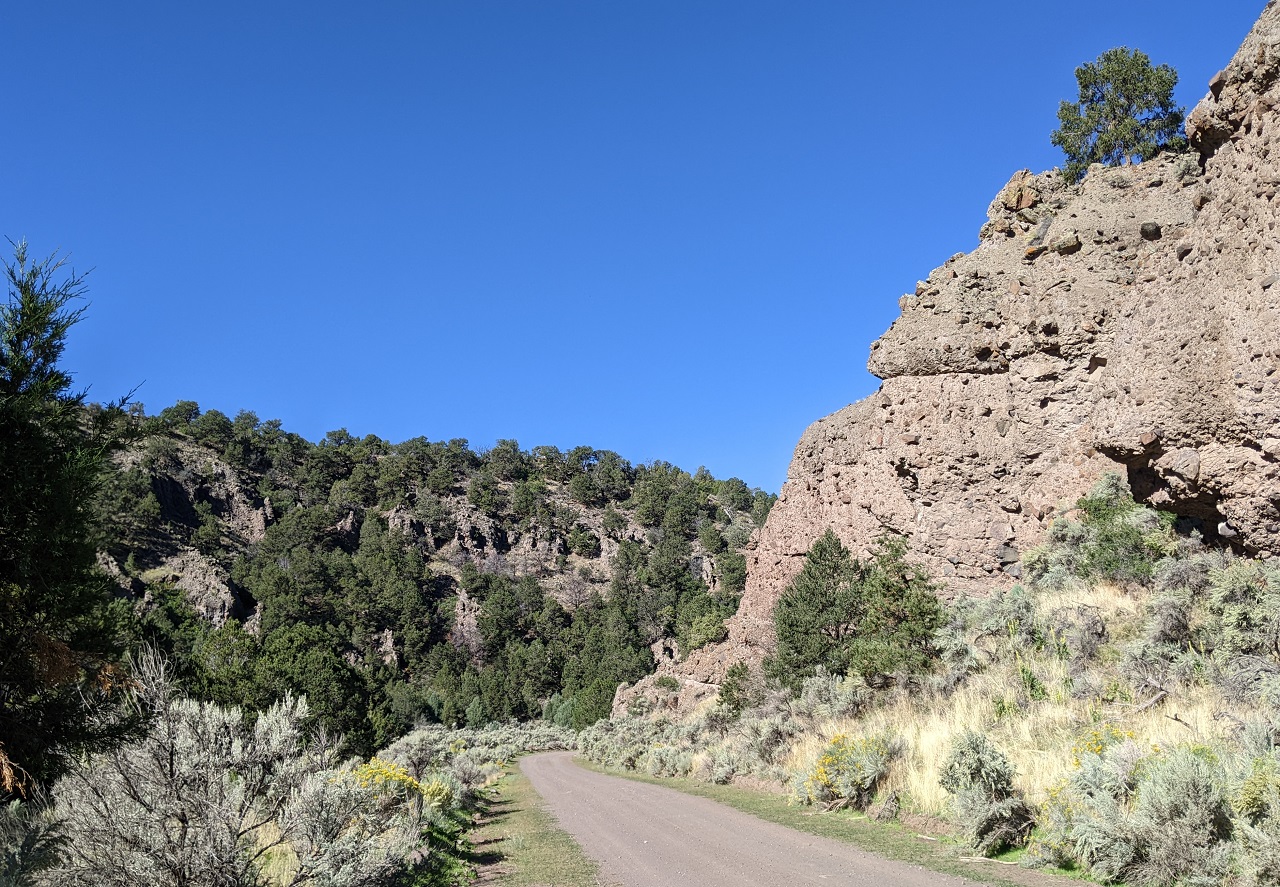
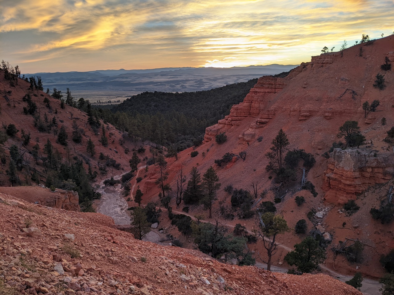
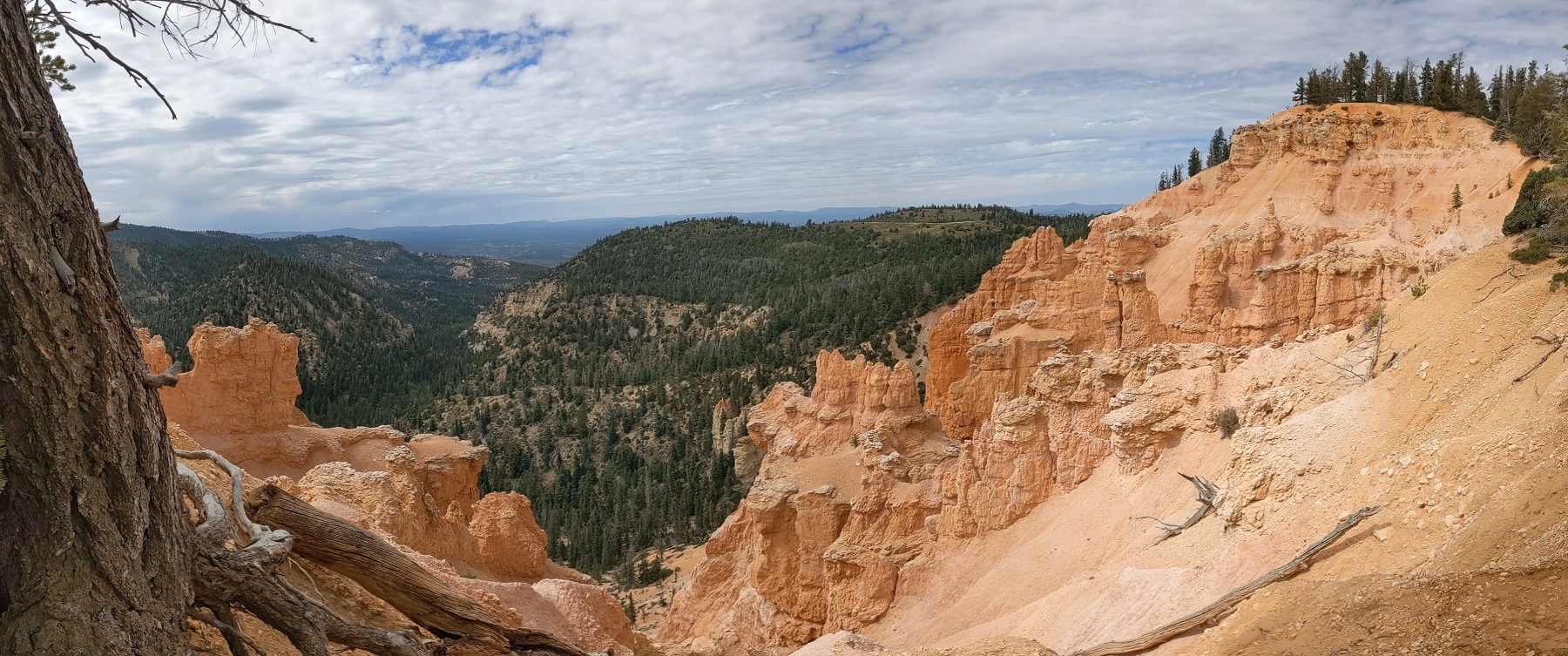
There were some cool rock formations as I dropped down the canyon which provided a bit of a consolation prize. I also found a flowing stream at the bottom of Playground Trail, which was the first water source since town. Playground is a possible alternative to Snowbank Trail. One more thing to scout...
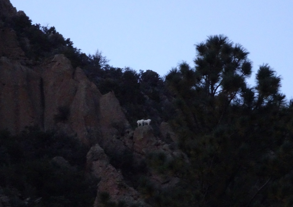
Looking back I spotted some white high up on a rock outcrop that stuck out like a sore thumb. The shapes resembled that of a mtn goat but didn't move at all for the couple minutes I watched. Couldn't see very well or zoom in with my camera in the fading light. Dunno, I might have just been seeing things : )
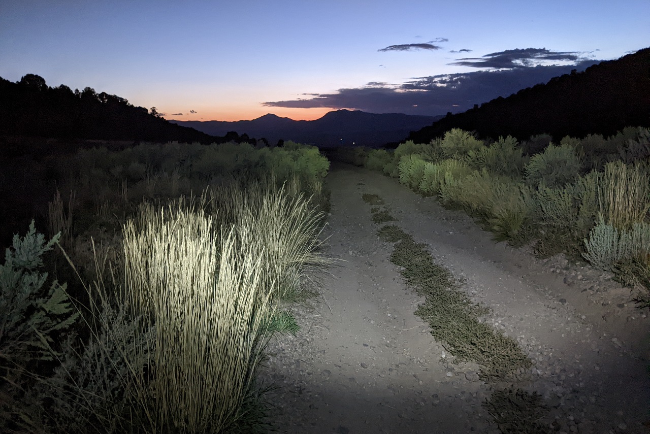
I caught the end of a nice sunset riding down canyon.
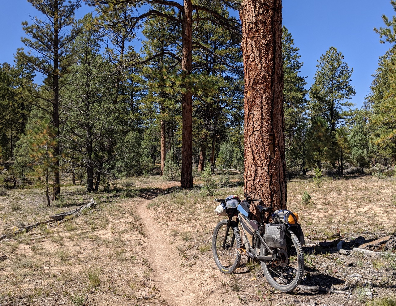
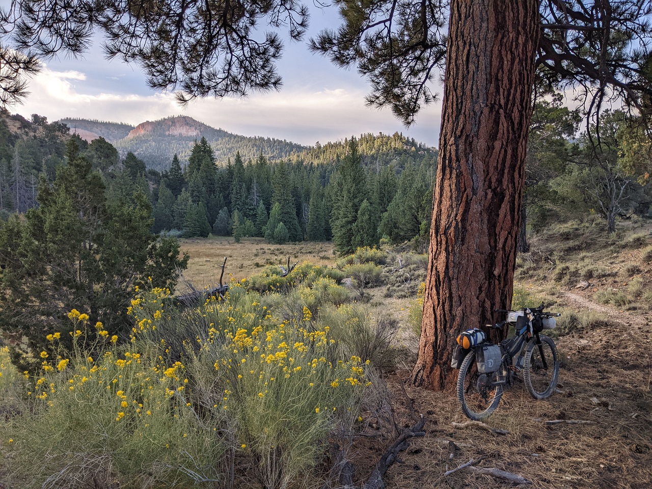
I'd have to drop all the way to the flats and traverse around a ranch and airstrip before climbing up another canyon back into the hills. On the far side the trail crossed a good sized stream many times. Good to know it's there. And the climb wasn't bad, maybe 1200ft in 5 miles. I found a nice spot near the top, under a huge pine tree and set up for the night. Temps were decent. Was nice to make some good miles again.
Stats - 55mi, +5,900/-8,430, 13 hrs.Last edited by evdog; 06-25-2024 at 01:20 PM. Reason: fix links
-
11-07-2023, 06:09 PM #7
one of those sickos
- Join Date
- Oct 2005
- Location
- Tahoe-ish
- Posts
- 3,357
Hellz yeah! I fell in love with the Tushars after you sent me there a few years back. I'm glad you're doing further investigating.
ride bikes, climb, ski, travel, cook, work to fund former, repeat.
-
11-07-2023, 11:19 PM #8
 sponge
- Join Date
- Nov 2005
- Posts
- 9,115
Subscribed.
-
11-08-2023, 11:23 AM #9
 Steezus Christ
- Join Date
- Dec 2005
- Posts
- 12,290
Inspiring!
-
11-08-2023, 02:03 PM #10
Registered User
- Join Date
- May 2012
- Location
- People's Republic of OB
- Posts
- 5,264
The more time I spend there, the more stuff I want to check out. There is a ton of faint/barely existing stuff on top of all the good stuff in the main Tushars area. Originally Posted by climberevan
-
11-08-2023, 02:06 PM #11
Registered User
- Join Date
- May 2012
- Location
- People's Republic of OB
- Posts
- 5,264
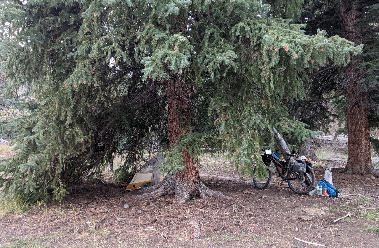
Day 5
Camp spot under the big tree. Temps weren't terribly cold so I got up not long after sunrise and started getting ready.
Another trail, Marshall Meadow takes off here and climbs up high. Again I walked a couple hundred yards. It is primitive and a bit brushy but could be another option to get down from or up to West Hunt Trail higher up.
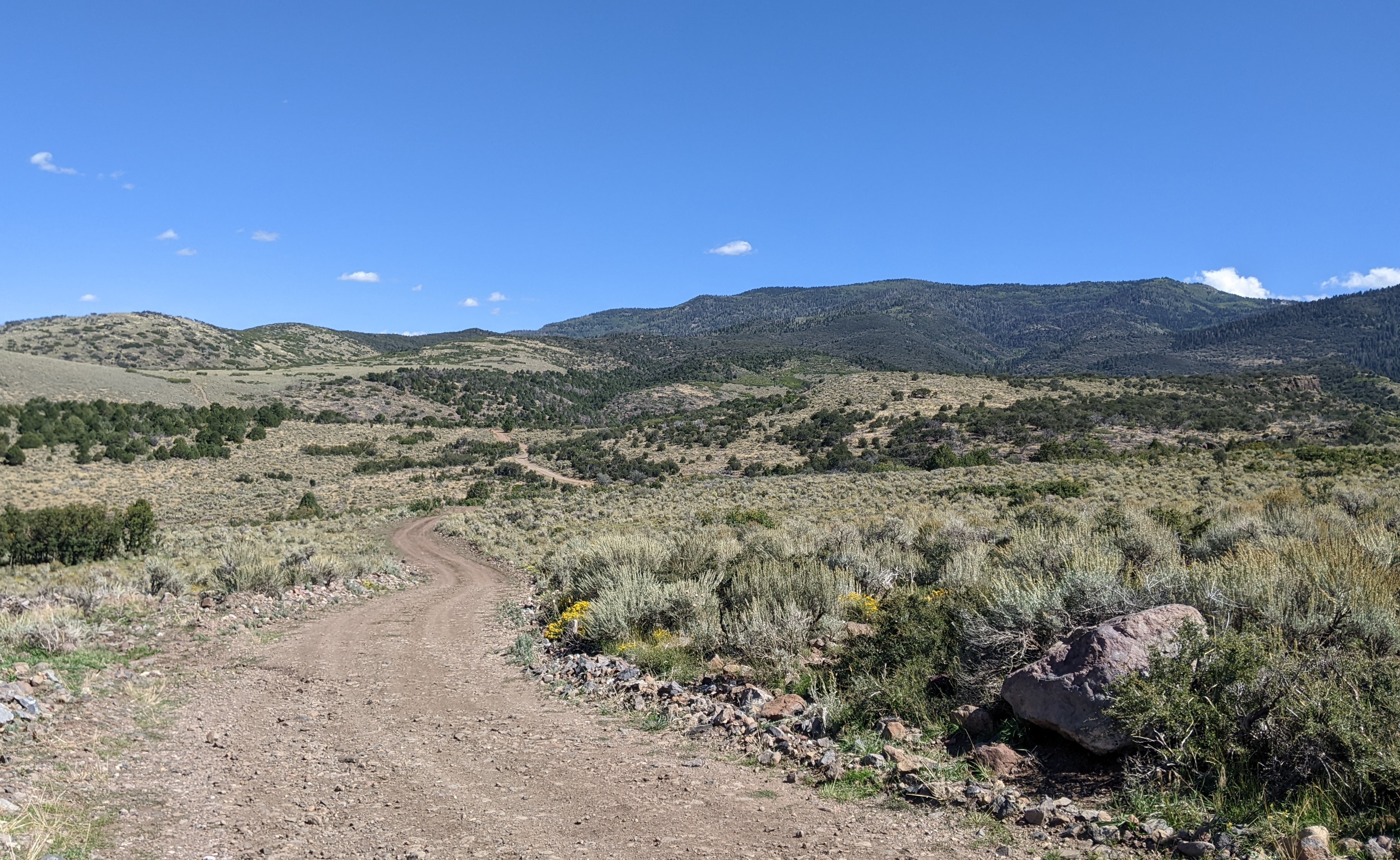
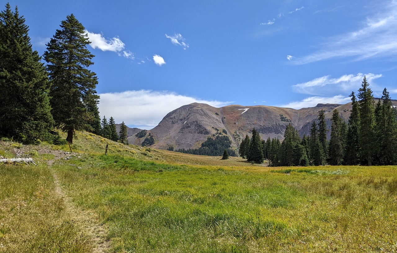
I had done the bulk of the climbing the night before but there was still a bit to go. Just enough to warm me up before the sun got higher.
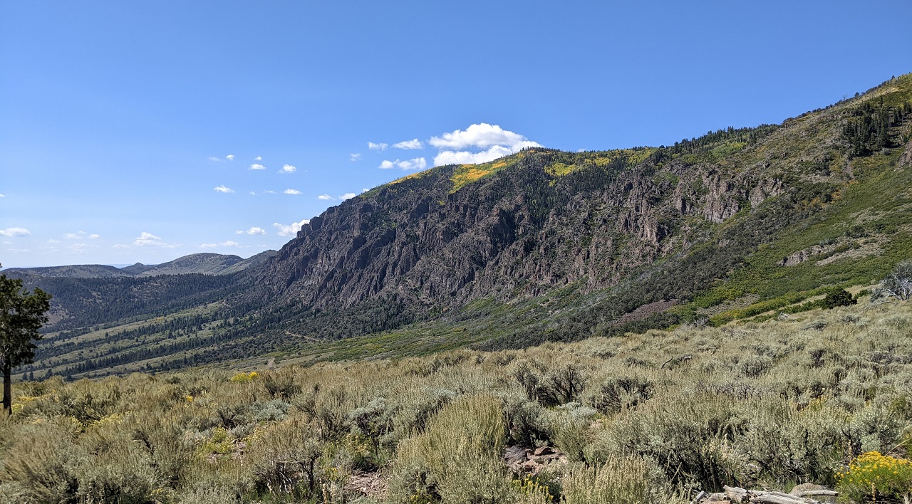
Nice views up into the mountains above. The trail I mentioned would climb up somewhere on the right
The ATV trail made for pretty nice riding. Just a few steep or rocky sections
Took a couple hours to get to Hancock Trail. I had already joined back onto the 200 route, which follows Hancock south. I went a bit further up the jeep trail and checked Hancock out going north. I'd definitely describe it as faint, and the only thing that told me I was on the trail and not a cow path was a couple old cut out logs. Exploring that one will be an adventure.
Cassidy Trail
Stopped to pick up some trash on the trail and found its contents intact. Score! Thanks to whichever racer dropped this.
More trail trash. Not the kind of horse shoe I normally find. Set it aside in a visible spot as it likely belongs to a stable. I'd already ran into some horse riders on a tour. I asked if they knew about Hancock and West Hunt, or any other trails to the north and they did not. Too far out for them to go I guess.
There is some cool riding on Losee and Cassidy, but it's work.
Love these views.
I forgot how long the trail takes getting to Red Canyon, and it was mid afternoon by the time I got there. The best resupply is now a couple miles east of Coyote Hollow (Thunder Mtn turnoff) where there is a gas station and the Bryce Canyon Restaurant.
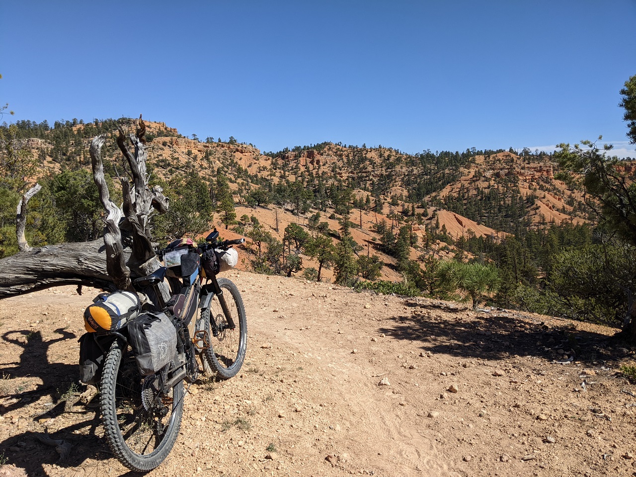
Burger and fries hit the spot, then I was off to Thunder Mtn just in time for golden hour. Perfect!
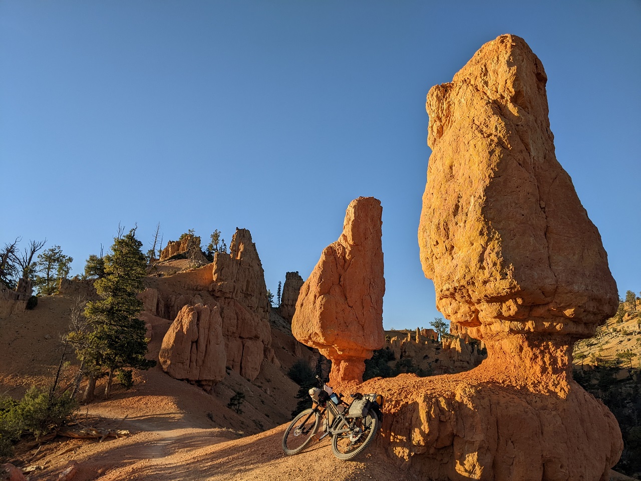
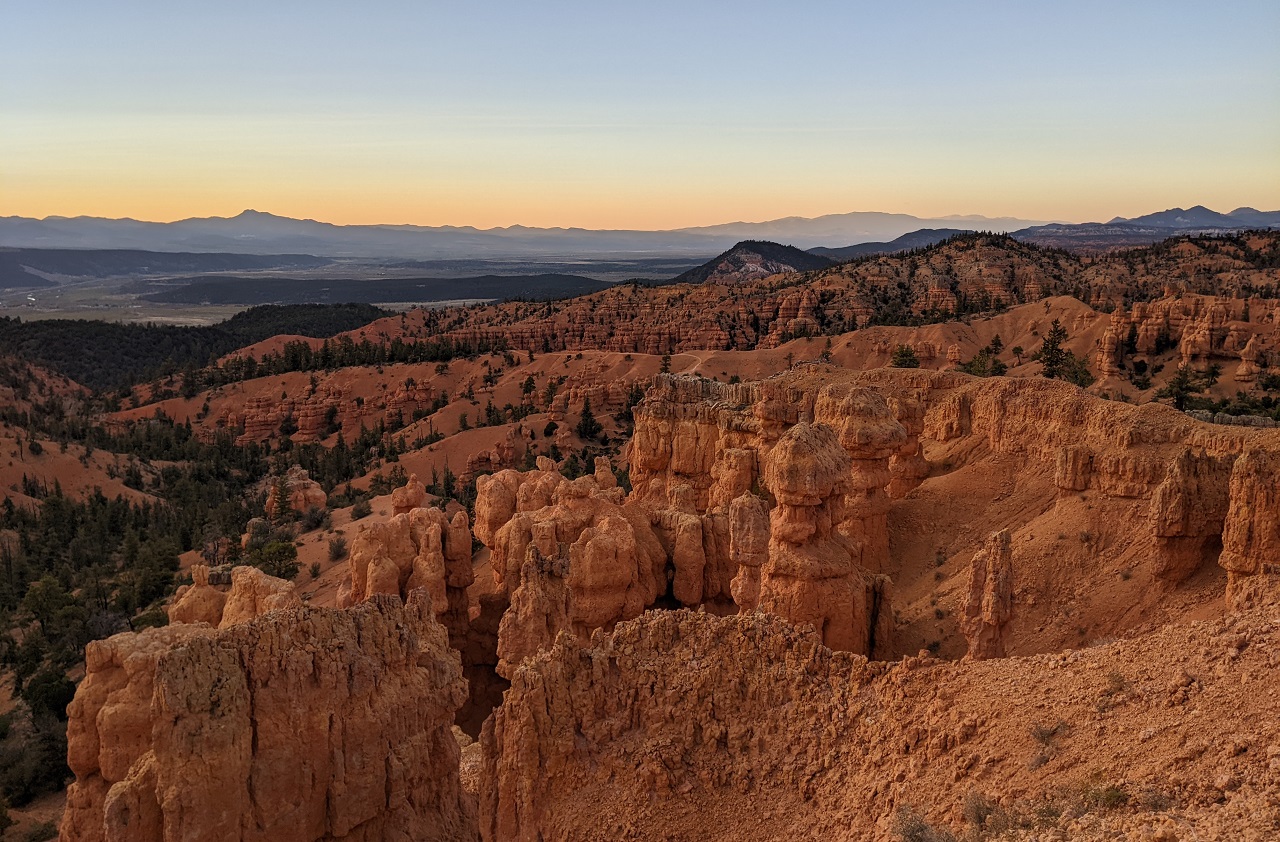
Sun went behind a bit of cloud as I got up high but the views and lighting were still awesome

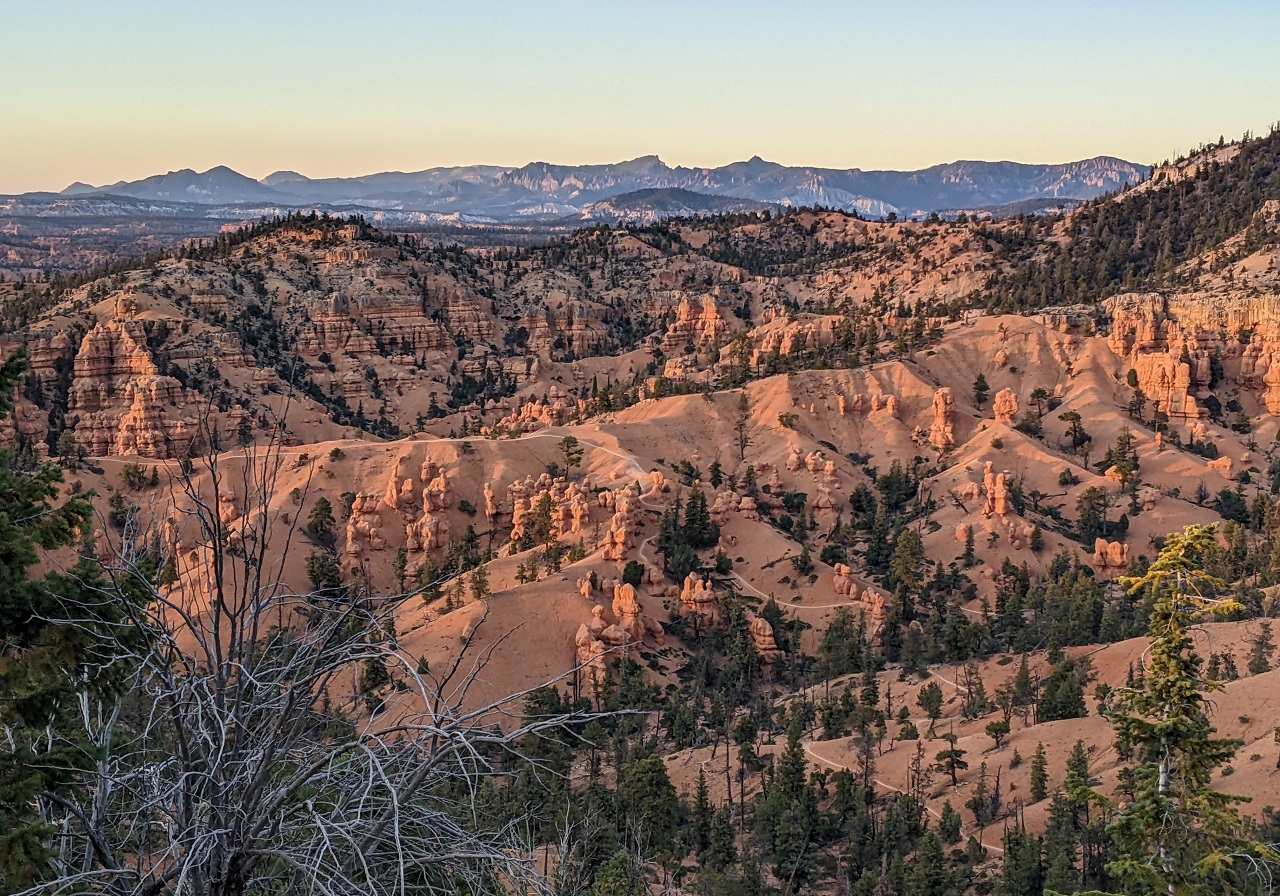
Played leapfrog with a couple other riders who were trying to get down before dark
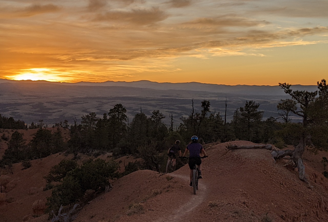
I'd always wanted to ride Thunder Mtn at sunset before but it never worked out, so I was stoked
Pics do no justice to how the colors were popping. It was awesome
Dropping into the final wash, the other riders were almost done. I made the left turn onto Grandview to see how far I could get in the dark.
Grandview was its usual primitive self. But definitely became a bit worse for wear the farther south I went with some erosion, small washouts and downed trees. I knew there was a real gnarly section coming up south of Hillsdale Canyon that I didn't want to do in the dark. So I stopped when I found a nice, sheltered flat spot along the trail. Good day on the bike!
Stats - 49 mi, +5,900/-6,400ft. 13.5 hrs.Last edited by evdog; 06-25-2024 at 01:21 PM. Reason: fix links
-
11-08-2023, 06:38 PM #12
Registered User
- Join Date
- May 2012
- Location
- People's Republic of OB
- Posts
- 5,264
Day 6
I cowboy camped since it was warmer where I was lower down, and well sheltered. It was dead quiet all night. Slept great aside despite leaking air mattress.
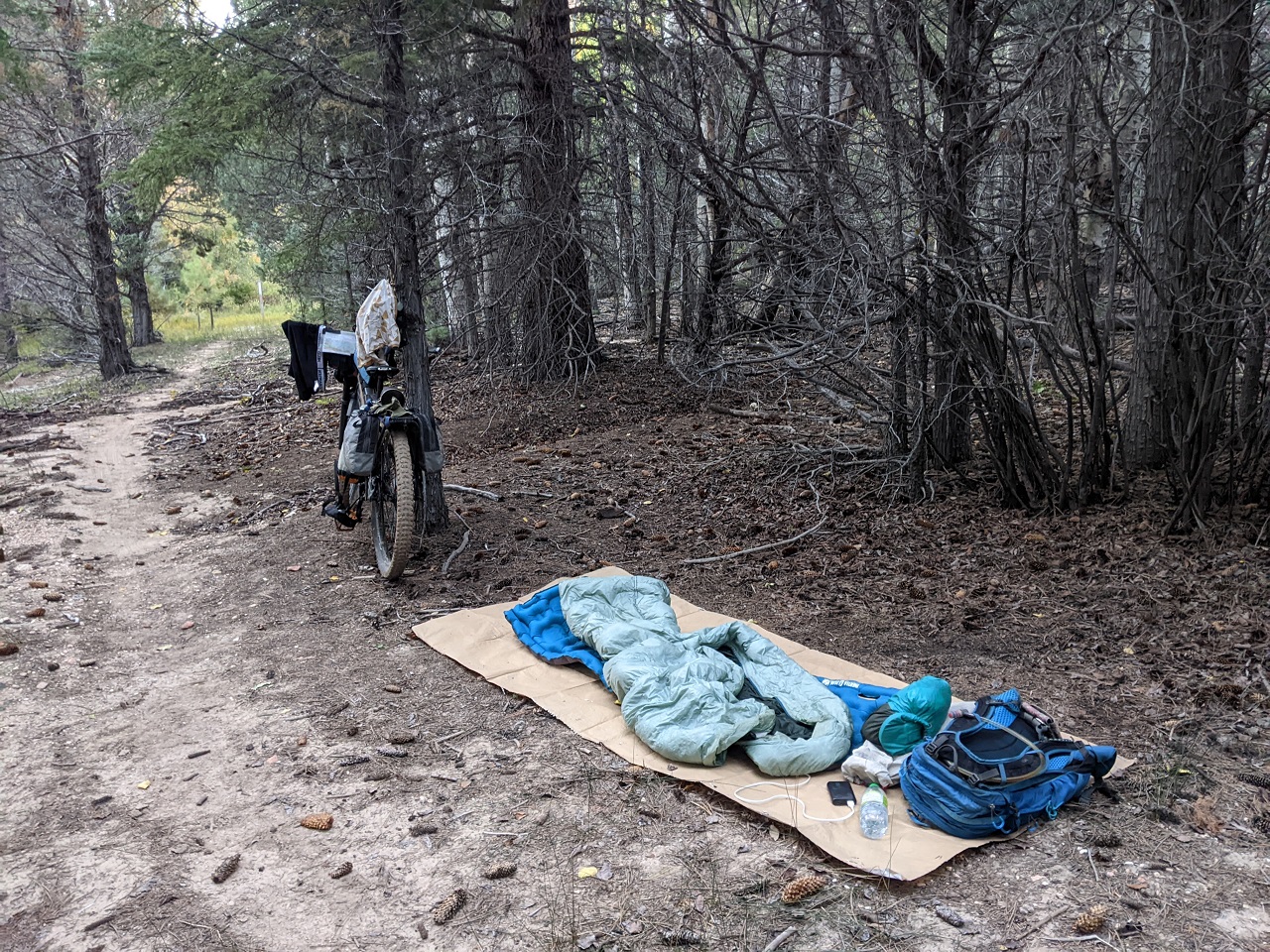
The joys of Grandview trail which sees more cattle than feet or wheels
It does have its moments. This would have been a great place to camp too. Bet the sunrise was awesome
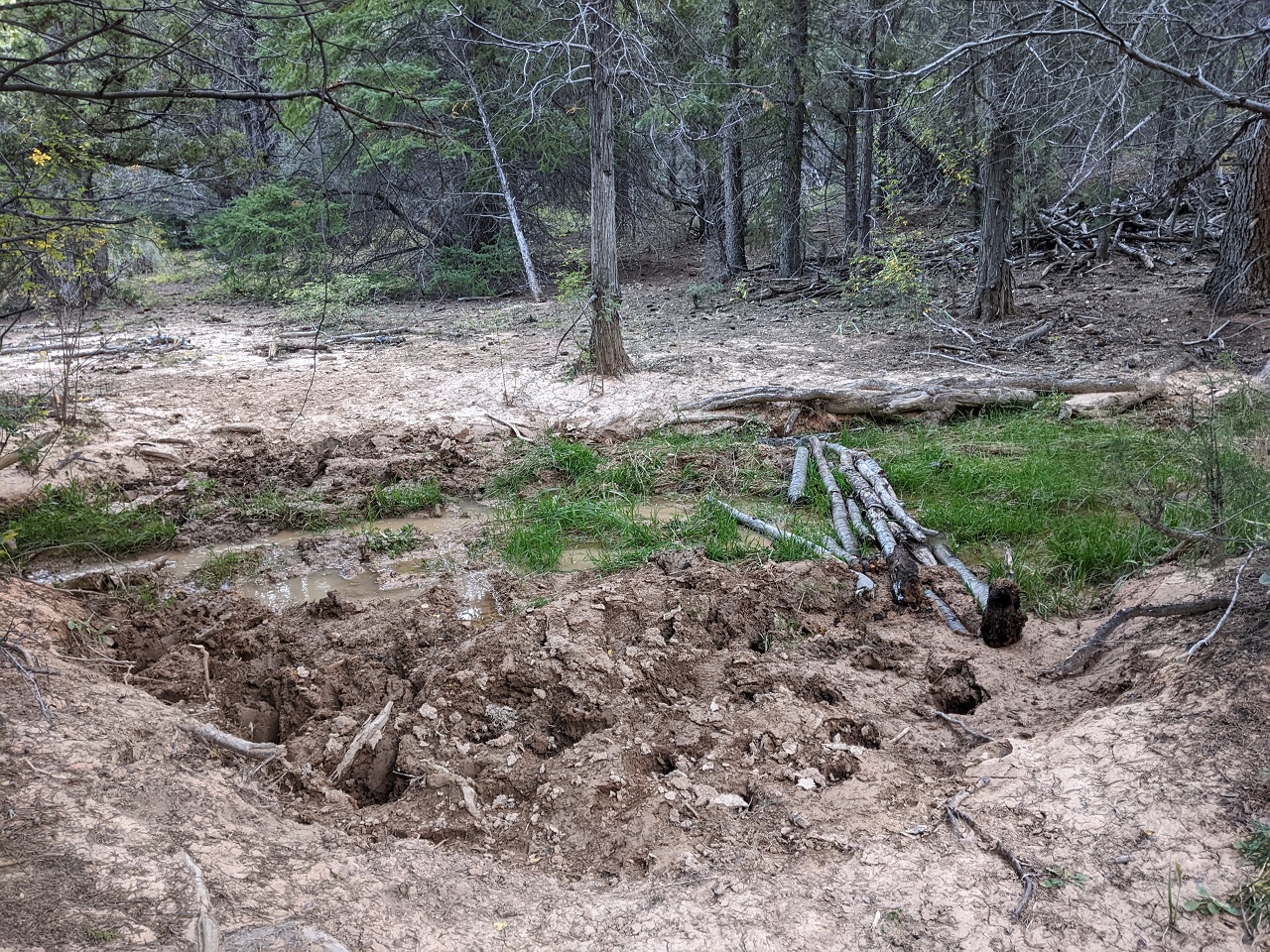
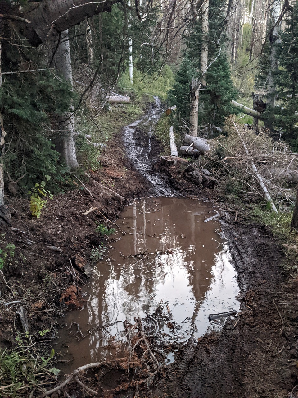
I hadn't even made it to the gnarly steep section yet and was already glad I hadn't gone further the night before. I probably would have ridden right into this quagmire without realizing how deep it is.
The only way to cross it without being knee deep in much was to grab branches and made a walkway. There were a few of these spots.
No pics of the downhill hike a bike. It's just a couple hundred yards of steep unrideable boulder filled garbage.
Fortunately a bit more nice trail followed.
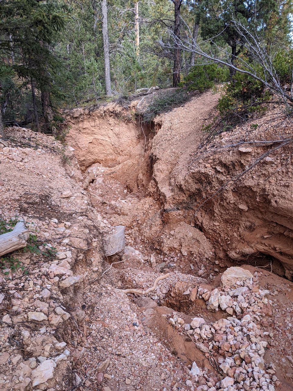
A couple corners later I came to this chasm. It was probably 10 feet deep and there was no good way in or out of it nearby. I finally just pushed cross country uphill until I came back to the trail, which switchbacked just beyond this.
I didn't realize the only nearby water source (a spring fed tank) was just above the switchback so I missed it. Fortunately being cool out I had enough water to continue.
A bit more nice trail on the way to Proctor Canyon.
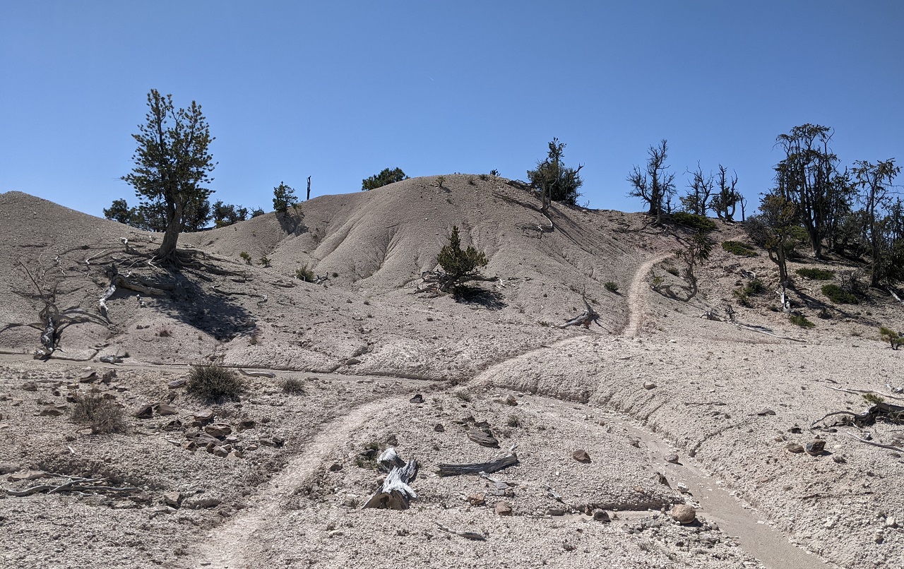
At Proctor Canyon the route turns onto dirt road and climbs about 1500ft to the top of the plateau.
Nice views up high.
The sun had disappeared and it was getting cold and windy. A bit of cell reception showed possible rain in the forecast. Not good on this type of dirt.
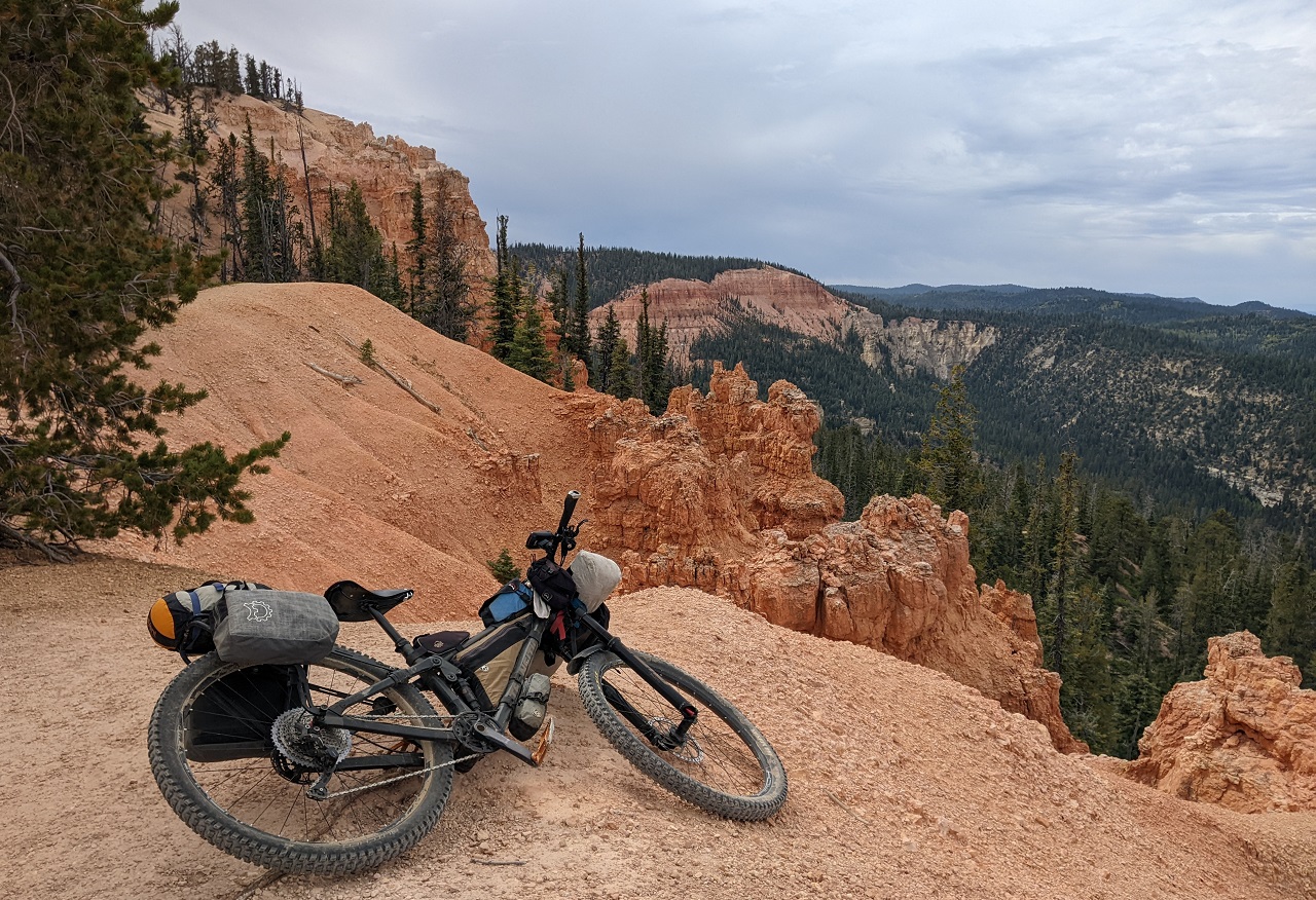
The next miles are a mix of ATV trail and singletrack.
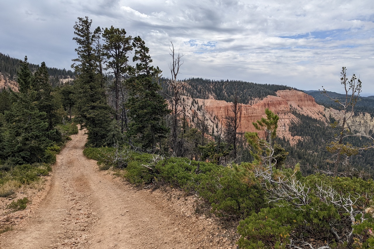
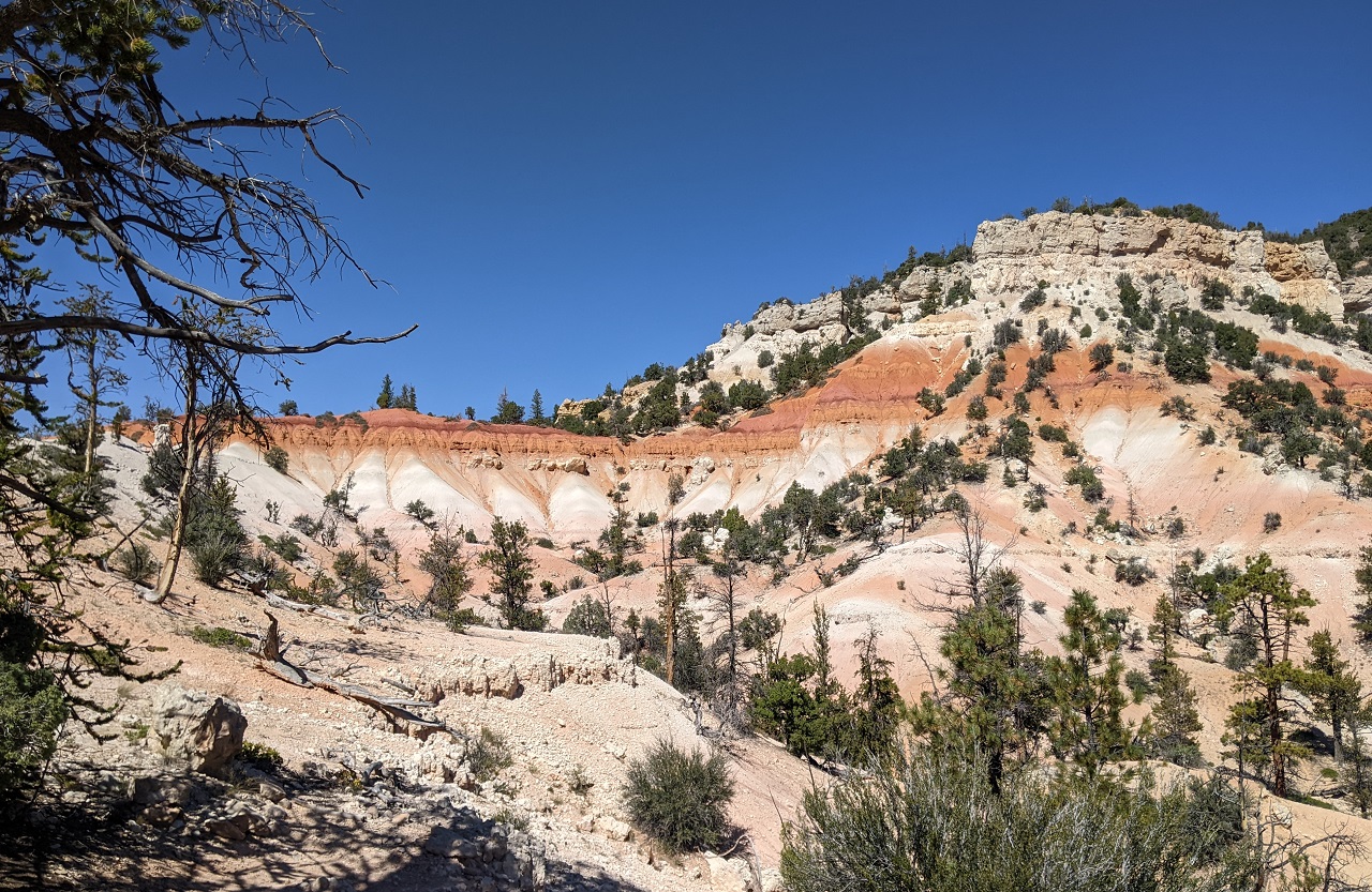
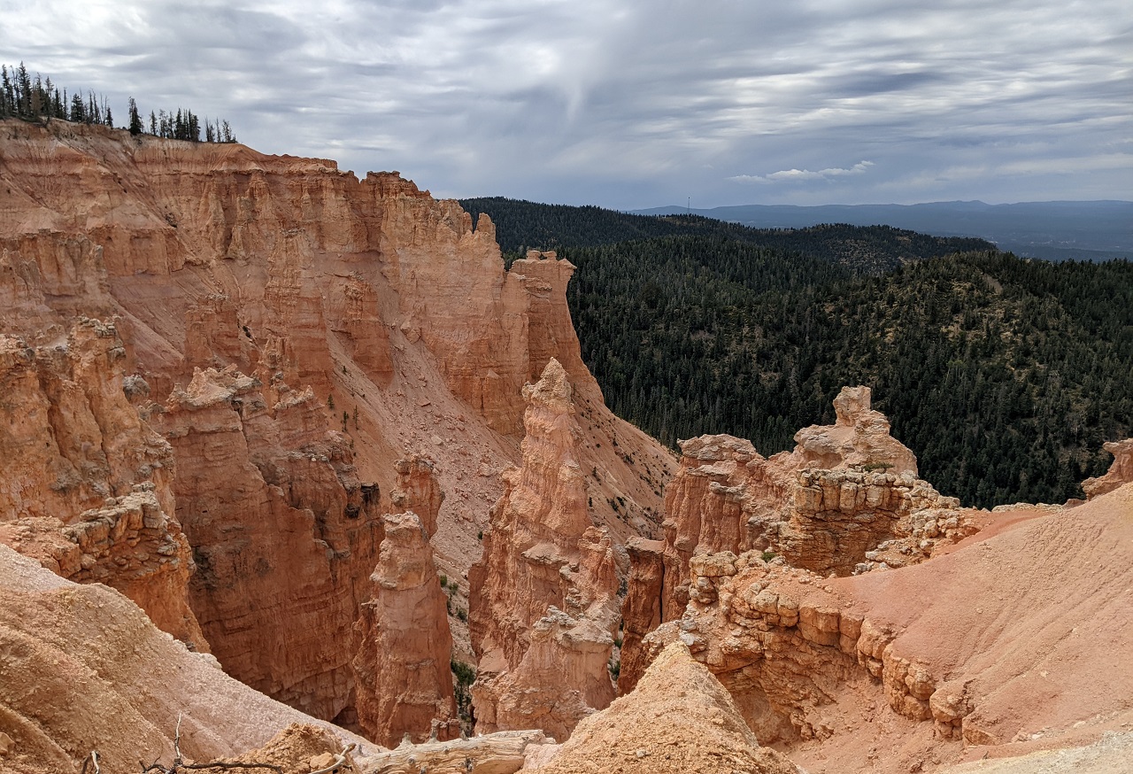
And some cool ridge top riding above pink cliffs.
I snuck out to a few viewpoints above the road
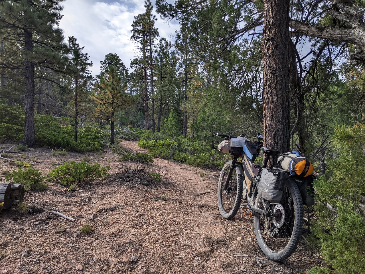
Trail tread was in better shape up here but there were a fair number of downed trees.
I didn't stop at the top of Pole Canyon, which drops 700ft in a mile off the plateau. Just dropped in. It was overgrown but logged out and fully rideable. Riding by braille...
Accuweather said rain starting in 60 minutes. I had eight miles of dirt road and six miles of paved highway to get to Tod's Country store. I needed to resupply and charge my devices if possible. I made good time and fortunately only felt a few rain drops. Tod's has a decent selection of food so I had early dinner and loaded up for the next day or so. Devices were hopefully charged enough to get me to the end.
The route used to climb up Hwy 14. Then DaveH found route close by that climbs up into a neighborhood and connects to some ATV trails via this cool easement. A much appreciated change!
Up top, the route crosses Hwy 14 and then gently climbs 15 miles on ATV road to get to the Virgin River Rim Trail. VRRT is a big ride in itself. I was already stressing about how long the ride was taking and wanted to finish the next day for sure.
So I decided to hop on pavement for a few miles and take a shorter route to VRRT that would also cut out around 1/3 of the trail, which also happened to be my least favorite part. I rode out Willis Creek Rd which was a pretty mellow climb of about 1000ft in 5 miles, once I was able to navigate out of the neighborhood. One logical route was blocked by private property, so I had to do a steep climb over a ridge to get around it.
It was cold on the climb up the road, but got better once out of the cold air drainage. I climbed another ATV trail to connect up to VRRT and soon found a flat spot to camp near the rim. The plan was to have a much better view in the morning than I had in the dark : )
Stats - 53mi, +6,650/-5,100ft, 13 hrsLast edited by evdog; 06-25-2024 at 01:22 PM. Reason: fix links
-
11-09-2023, 12:08 AM #13
Registered User
- Join Date
- May 2012
- Location
- People's Republic of OB
- Posts
- 5,264
Day 7
The view was much better the next morning.
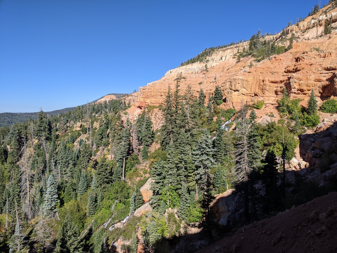
It was also cold out with a stiff breeze blowing so I didn't stick around for breakfast. I headed down trail instead to the Cascade Falls trailhead. Had breakfast in the sun out of the wind and then rode/hiked over to the falls to get some water.
Cascade Falls is pretty cool. Water from Navajo Lake drains through the rock and eventually pours out of this cliff face where it tumbles down the slope.
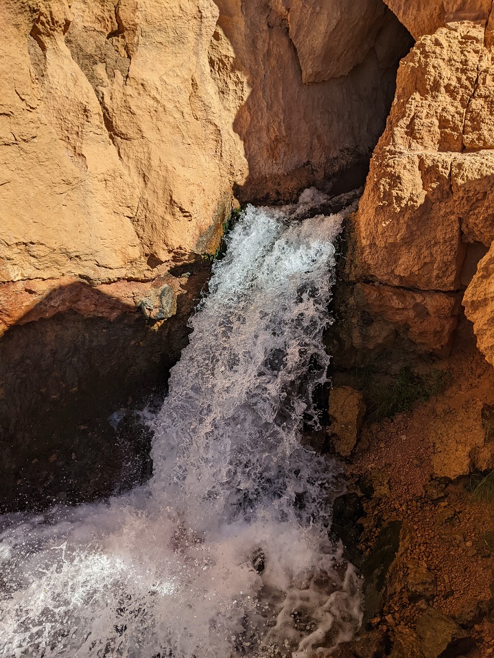
I found a small stream on the way in over to the falls that was flowing and filtered from that, so there was no need to scramble down to Cascade Creek
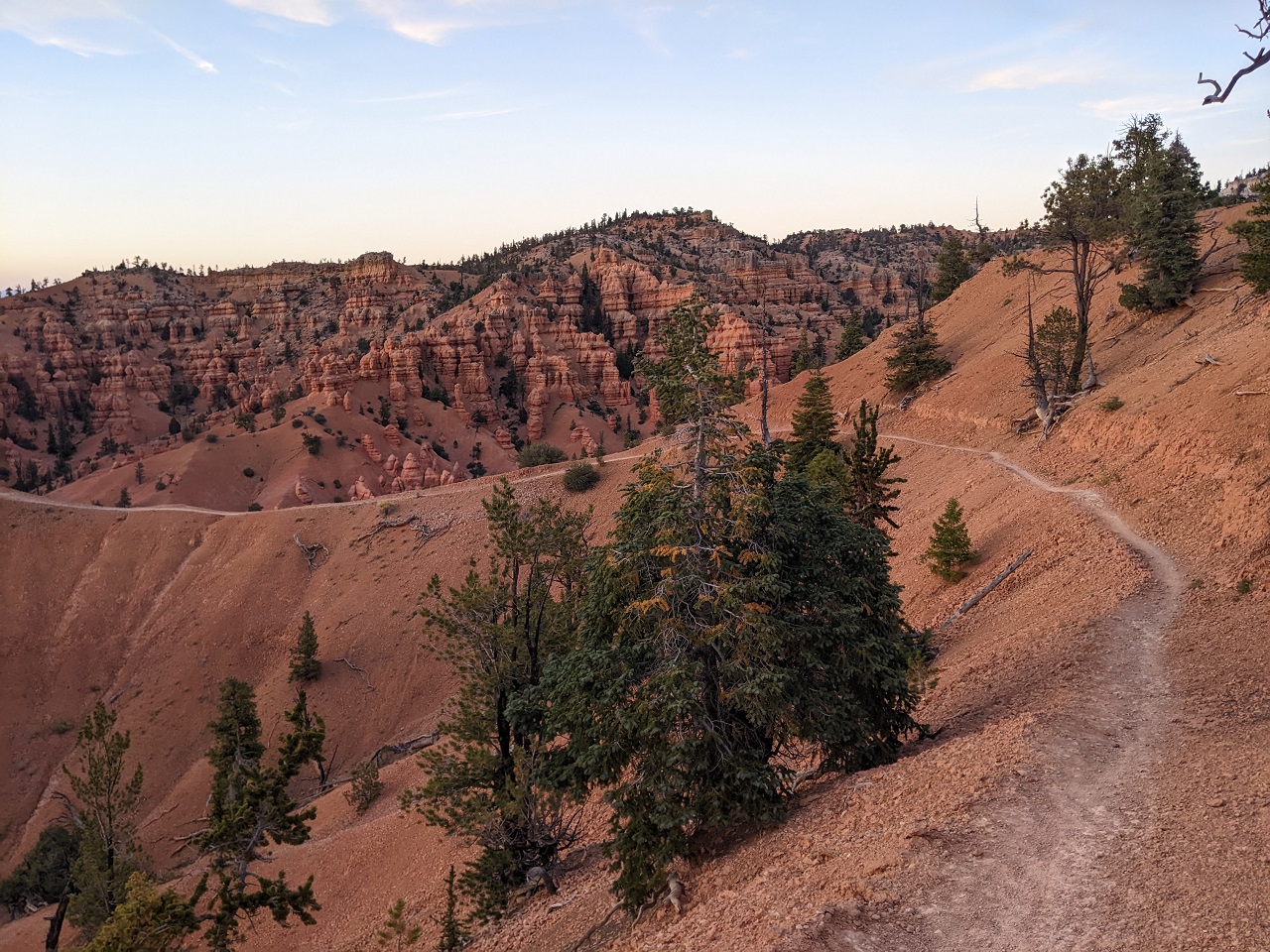
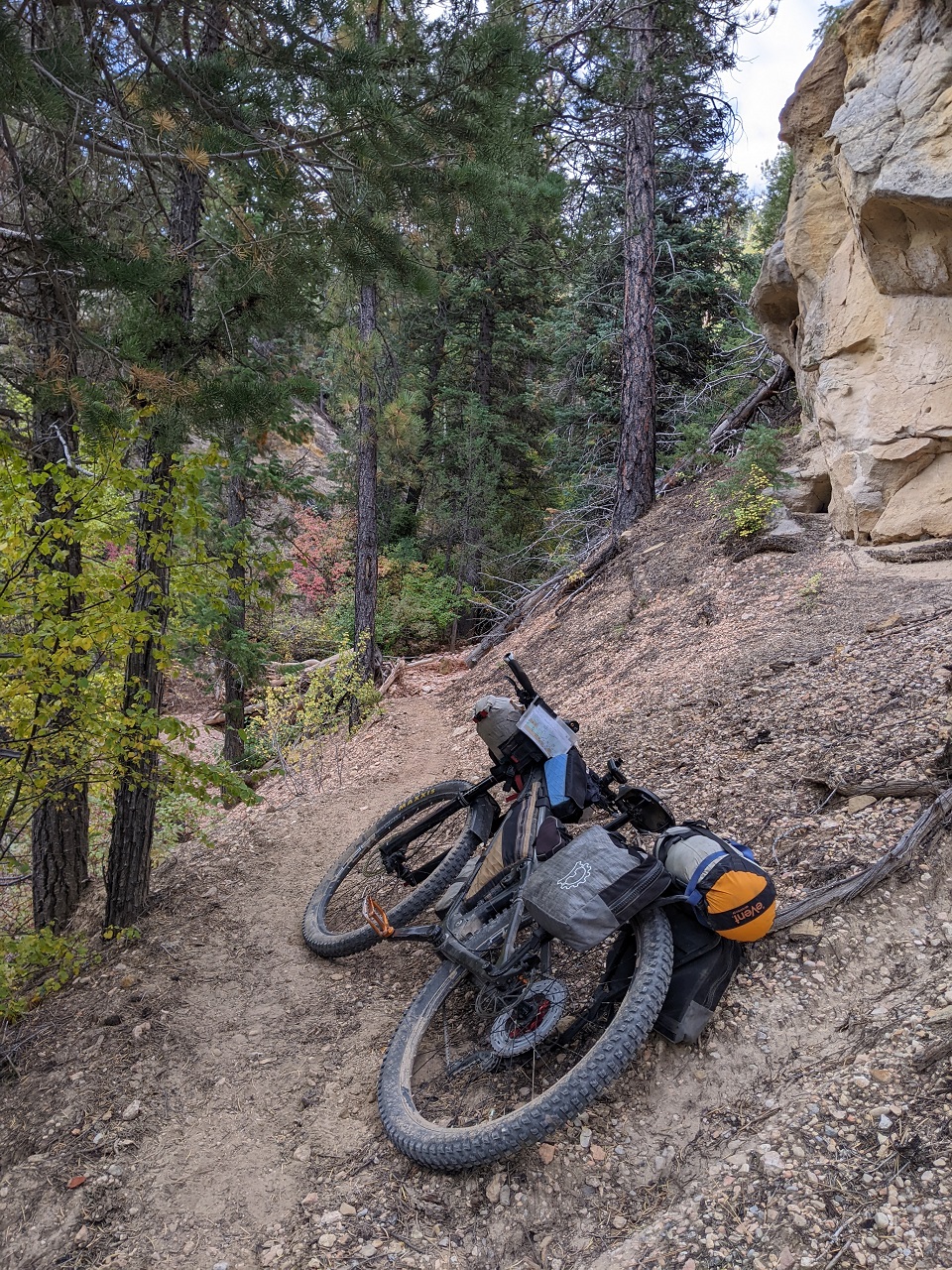
The spot where I jumped onto VRRT gets into the best parts of the trail
There is still some steepish climbing and loose rock to negotiate but the worst is east of where I hopped on. Great views too. VRRT follows the edge of the plateau for many miles.
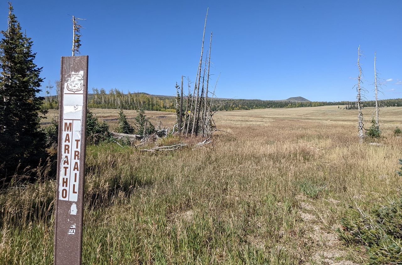
I've ridden the Navajo Lake loop before and it's on the route, but I opted to skip it to save time. Straight onto Marathon Trail.
Marathon immediately climbs a thousand feet up to a ridgeline and the whole climb was covered in deadfall. It was slow going.
Where Marathon isn't covered in trees, it's hard to follow. And it goes on for miles and miles. It's everywhere and nowhere at all
The ATV roads across to Sydney Peaks had their moments too with plenty of rock and some large mud pits to navigate.
Some parts were fast. I made pretty good time the last 5 miles or so to the highway crossing.
Rather than climb up via Lowder Ponds which involves a ton of hike a bike, the route stays on ATV road (still called Marathon Trail) all the way to Sydney Peaks.
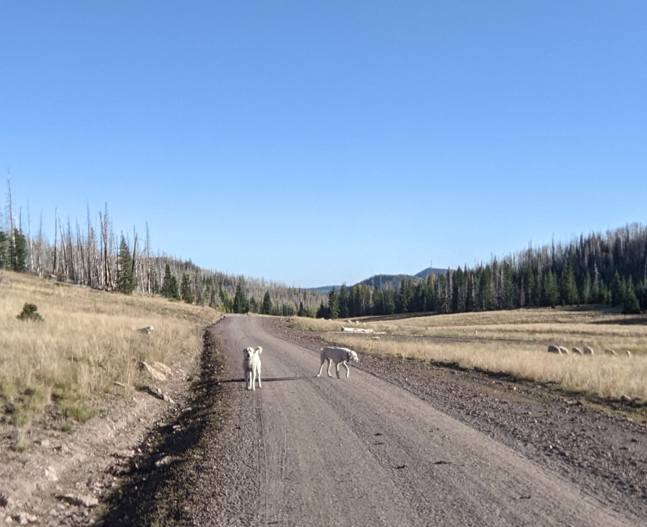
I came across another herd of sheep near the top of the climb. Two dogs that were laying down on the road barely glanced as I rode by. But a third one all the way across the meadow sparked up and charged, and got the other two riled up. Next thing you know I was surrounded by three snarling dogs. They never got closer than a couple feet but it was a couple tense moments as they angled me off toward the side of the road. Thankfully they finally backed off and I got out of there. Not cool.
I took a breather and checked out the view before hopping on the Sydney Peaks singletrack. Only a few hundred feet more of climbing then it's all downhill.
Part way up the climb I spotted the sheep herder guy not far off the trail. He gave me a thumbs up, like you ok? I gave him a thumbs down. He was close enough to hear me, so I shouted that his dogs are pretty aggressive and it was not cool. He either didn't speak english or pretended not to. No sooner did I finish talking, his dogs started barking and charged at a passing truck, hopping up on the drivers door.
Finally made it to the top and dropped in to Dark Hollow. I didn't make it very far before running into more sheep. No dogs this time, thankfully.
Of course they took off down the trail ahead of me
They eventually turned off and I had the trail to myself. No time to waste, I'd be racing the sun.
Dark Hollow was completely rebuilt a couple years ago. Gone is the gnar and chunk. As much as I miss that, the new trail has some sweet turns.
And a surprise lower down. Watch your speed, not just for this but for trees down on the trail. You can carry a lot of speed and sight lines aren't great. Someone's going to get clotheslined by a low hanging snag.
I had a blast railing down Dark Hollow, and the fire road below as well. I'm usually stubborn and try to finish rides without using lights but I turned them on lower down so I could make time. Finished just after dark. One beer and I was ko'd.
Stats: 48mi, +5,030/-7,250ft 11hrs
Total stats for the trip: 327mi, +/- 44,800, 90 hours. That's 47mi and 6,400ft per day.
I had hoped to finish in 5 days. Super rough terrain on Day 3 didn't help. Nor did late starts due to cold temps and early stops for the same (I'm a wimp in the cold). Also lots of fairly slow miles.
Even taking many of the bypasses it's a great route - and with the bypasses the whole route goes. The singletrack addition in the Tushars may balance out removing other trails like West Hunt and Hancock. But I'd still like to go back and check those out to see if they are worth trying to include. For now I'll revise the route based on what I rode and didn't ride and some other scouting I did later. Then see what else needs to be scouted.Last edited by evdog; 06-25-2024 at 01:24 PM. Reason: fix links
-
11-09-2023, 07:43 AM #14
 Registered User
- Join Date
- Dec 2005
- Location
- Glasgow, UK
- Posts
- 1,321
This rules, brings back so many good memories!
-
11-09-2023, 10:02 AM #15
Registered User
- Join Date
- Jul 2011
- Posts
- 175
Always love you posts. Good to see someone living the good life!
-
11-09-2023, 12:31 PM #16
Registered User
- Join Date
- Dec 2009
- Posts
- 5,403
That's a real deal epic. My tailbone hurts just thinking about those sorts of miles. Nice!
dirtbag, not a dentist
-
11-09-2023, 12:49 PM #17
 over rotated
- Join Date
- Dec 2007
- Location
- Hell Track
- Posts
- 14,920
That's awesome - super cool TR. Thanks!
-
11-09-2023, 02:26 PM #18
 Registered User
- Join Date
- Jan 2008
- Location
- Paper St. Soap Co.
- Posts
- 3,651
-
11-09-2023, 03:10 PM #19
 meow
meow
- Join Date
- Feb 2008
- Location
- Sikskiyou's
- Posts
- 1,602
Awesome. Thank you!
Love the Tushars and the Dixie/Fishlake. Looking forward to getting down there again.
-
11-09-2023, 06:33 PM #20
 Registered User
- Join Date
- Oct 2003
- Location
- slc
- Posts
- 19,219
Nuts, completely, utterly nuts.
-
11-09-2023, 08:24 PM #21
 Advanced Intermediate
- Join Date
- Sep 2004
- Location
- Where the center is on the right
- Posts
- 911
Badass dude. I bet you know the bikeable/semibikeable trails of the western US as well as anyone. Always look forward to your TRs
"If you're gonna be dumb, you gotta be tough."
-
11-09-2023, 08:51 PM #22
Registered User
- Join Date
- Apr 2021
- Posts
- 3,465
Very cool! Some surprisingly perfect singletrack out there.
Those wild dogs are doing exactly what they should though - I don't see what complaining to the owner will do. They are trained to scare you or anything moving away from their herd, and they did. They'd only bite if you grabbed a sheep. Maybe. They are EXTREMELY scary though when biking upon them randomly, ha.
-
11-10-2023, 08:03 AM #23
 Registered User
- Join Date
- Feb 2005
- Location
- the most beautiful place in the whole wide world
- Posts
- 2,734
evdog - that was amazing, thanks for taking the time to share.
-
11-10-2023, 10:16 AM #24
one of those sickos
- Join Date
- Oct 2005
- Location
- Tahoe-ish
- Posts
- 3,357
They are not wild dogs. They are servants of the sheep herders who are using public lands to enrich themselves and are at most paying a TINY fee to do so. Originally Posted by muted reborn
As anywhere, it is incumbent on animal owners to ensure that they do not present a danger to people.ride bikes, climb, ski, travel, cook, work to fund former, repeat.
-
11-10-2023, 11:11 AM #25
Registered User
- Join Date
- Dec 2009
- Posts
- 5,403
Good luck getting the lawmen on that Originally Posted by climberevan
 dirtbag, not a dentist

 Reply With Quote
Bookmarks