
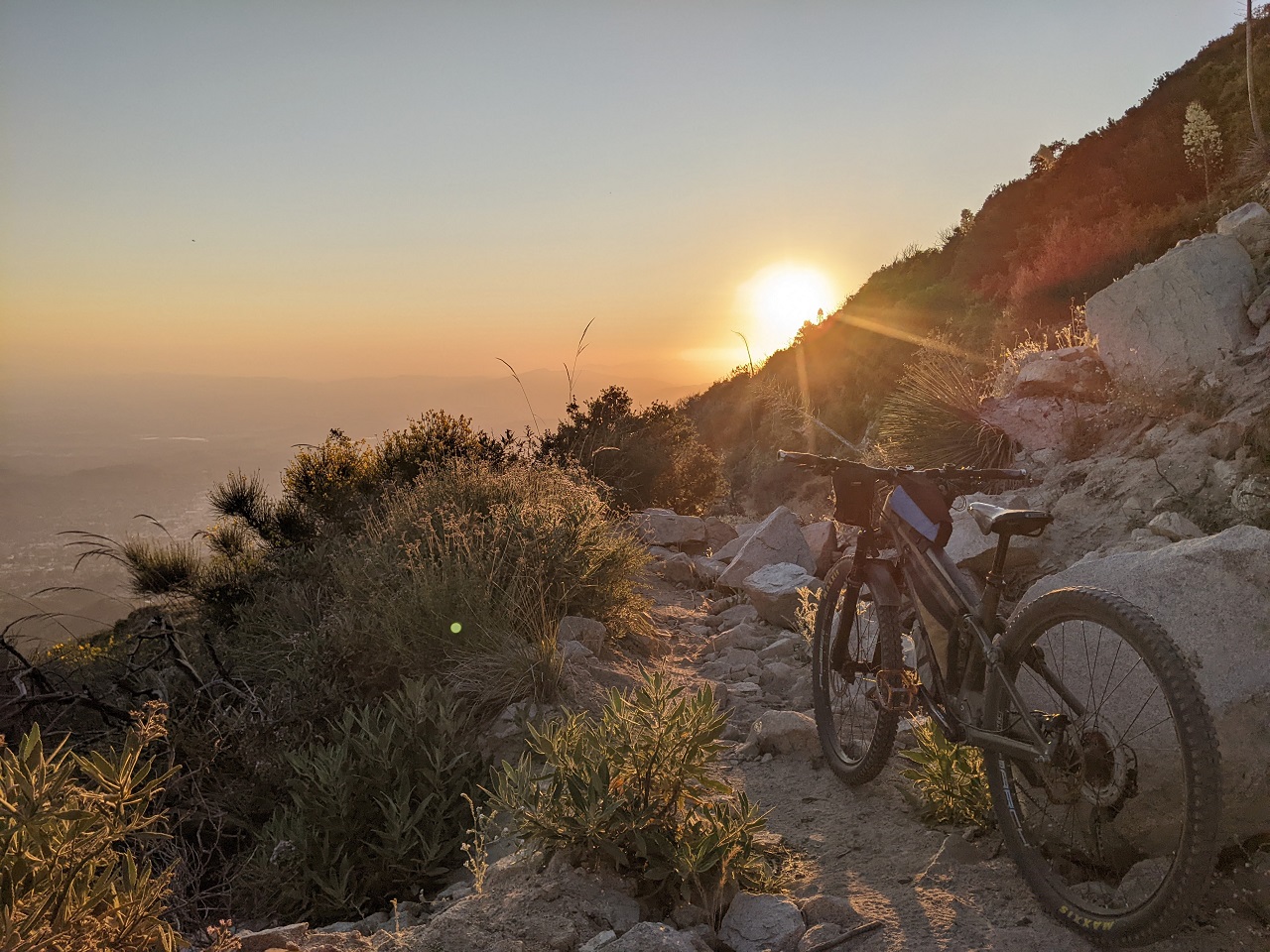
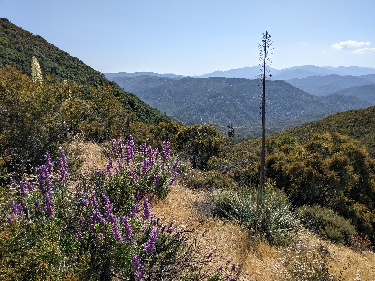
Sand Canyon is a possibility but I haven't found a good way to get there from Tehachapi by bike. Roads that appear to connect have a "Private- F-off" vibe to them, or you can see on satellite that they go directly through a gated ranch property at some point. I want to get up in the Piutes because there is some cool singletrack up top. For now LA Aquaduct and Jawbone Canyon Rd is the best way we've found to get there. Even if we could get to Sand Canyon I'd still want to climb up either Piute Mtn Road or Francesci Rd (29S02) rather than Walker Basin. We will keep looking for better routes later on, but unless we can get access through the Tejon Ranch property and can connect north similar to PCT I don't see us going through Tehachapi.Originally Posted by tellybele

A number of people have been scouting the east side of the Sierra. I personally don't think the riding on that side is great...tons of sand, crazy hot in summer and hard to stay up high for long on a bike. Existing singletrack generally doesn't connect well for a north-south route. Plus I'm not aware of any appealing way to get south from Lone Pine area. Then, the only legal way up to Kern Plateau is Nine Mile Canyon Rd which is actually closer to a 35 mile paved climb up to Kennedy Meadows. No thanks. There is a non-wilderness corridor if we went up Haiwee Pass Trail, but once up top all the trails go into Wilderness. I hiked up that trail a few miles, it's no good for bikes without a full re-build. Might be our best long term option but not right now.
So I started scouting the west side heavily. IMO there is way more interesting terrain, way more options, it's generally forested, lots of streams/swimming holes, you can stay up at elevation a lot longer, and there is a lot more singletrack if we go that way. It's not perfect as there are a couple long pavement segments to bypass Wilderness and Sequoia NP. Overall I think it's the better way to go. But people are fucking obsessed with Hwy 395 and the east side, so we will end up with a route on both sides. That will be good in the end as we'll have a loop around the whole thing from Kernville to Tahoe in addition to the full Orogenesis route.
Results 26 to 50 of 54
Thread: TR - 2023 SoCal Orogenesis Tour
-
06-10-2023, 04:26 PM #26

 Registered User
- Join Date
- May 2012
- Location
- People's Republic of OB
- Posts
- 5,311
-
06-11-2023, 01:46 AM #27
Registered User
- Join Date
- May 2012
- Location
- People's Republic of OB
- Posts
- 5,311
After a few weeks break from roadtripping to deal with massive brush growth in the trail networks I take care of, it was time to get out again as a cooling trend was about to hit. Channel Islands hiking has been a long-time bucket list item and I finally booked a trip just before Memorial Day --> https://www.tetongravity.com/forums/...nel-Islands-NP
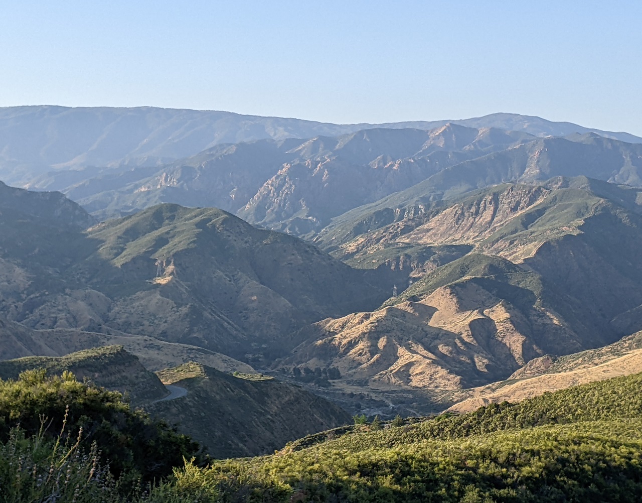
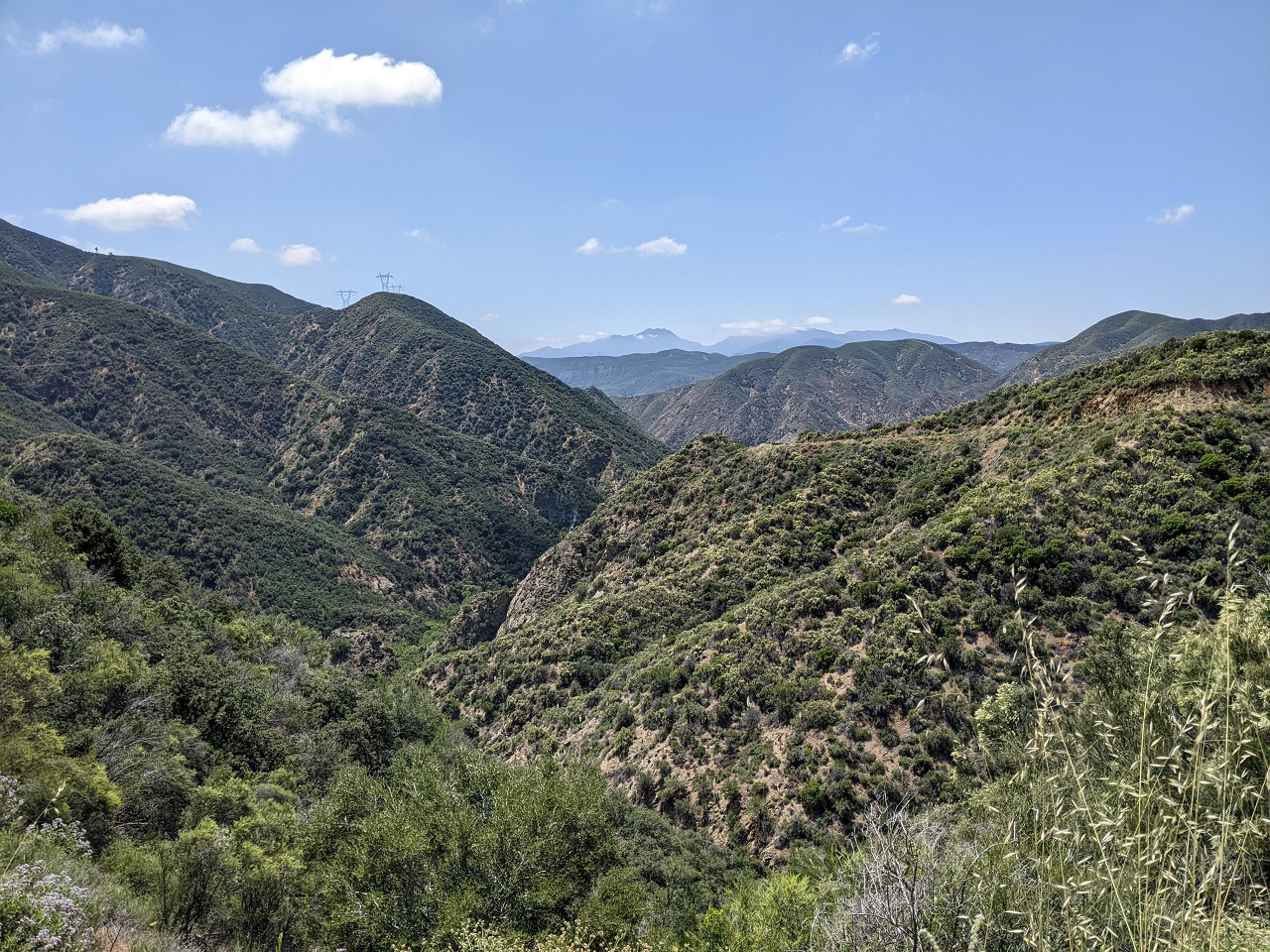
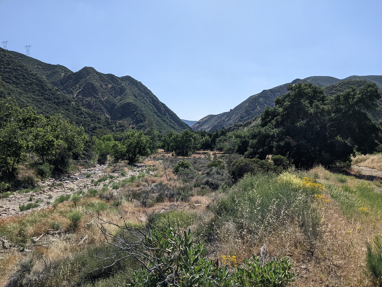
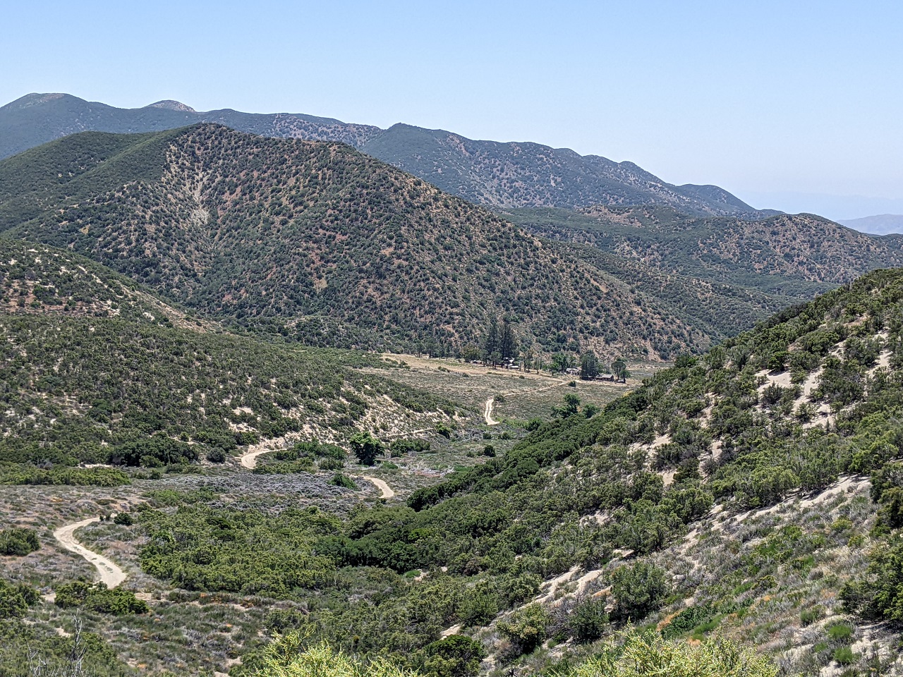
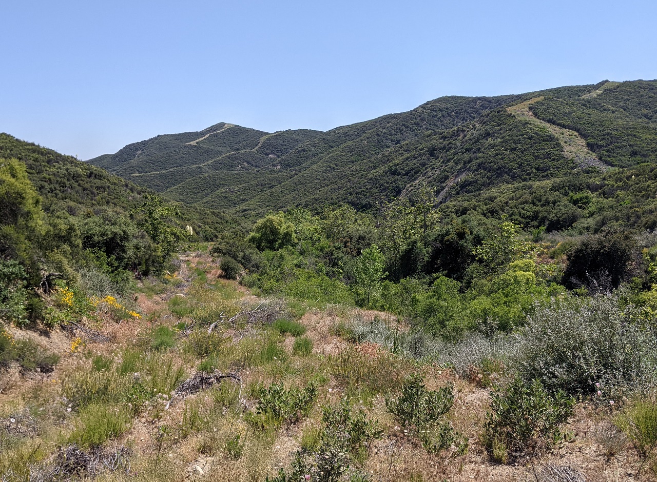
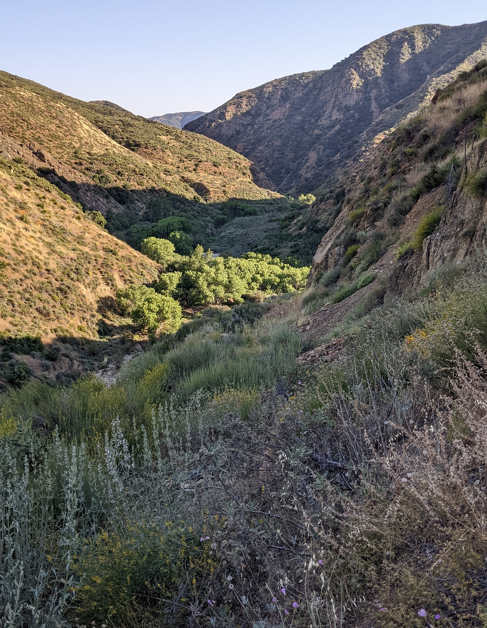
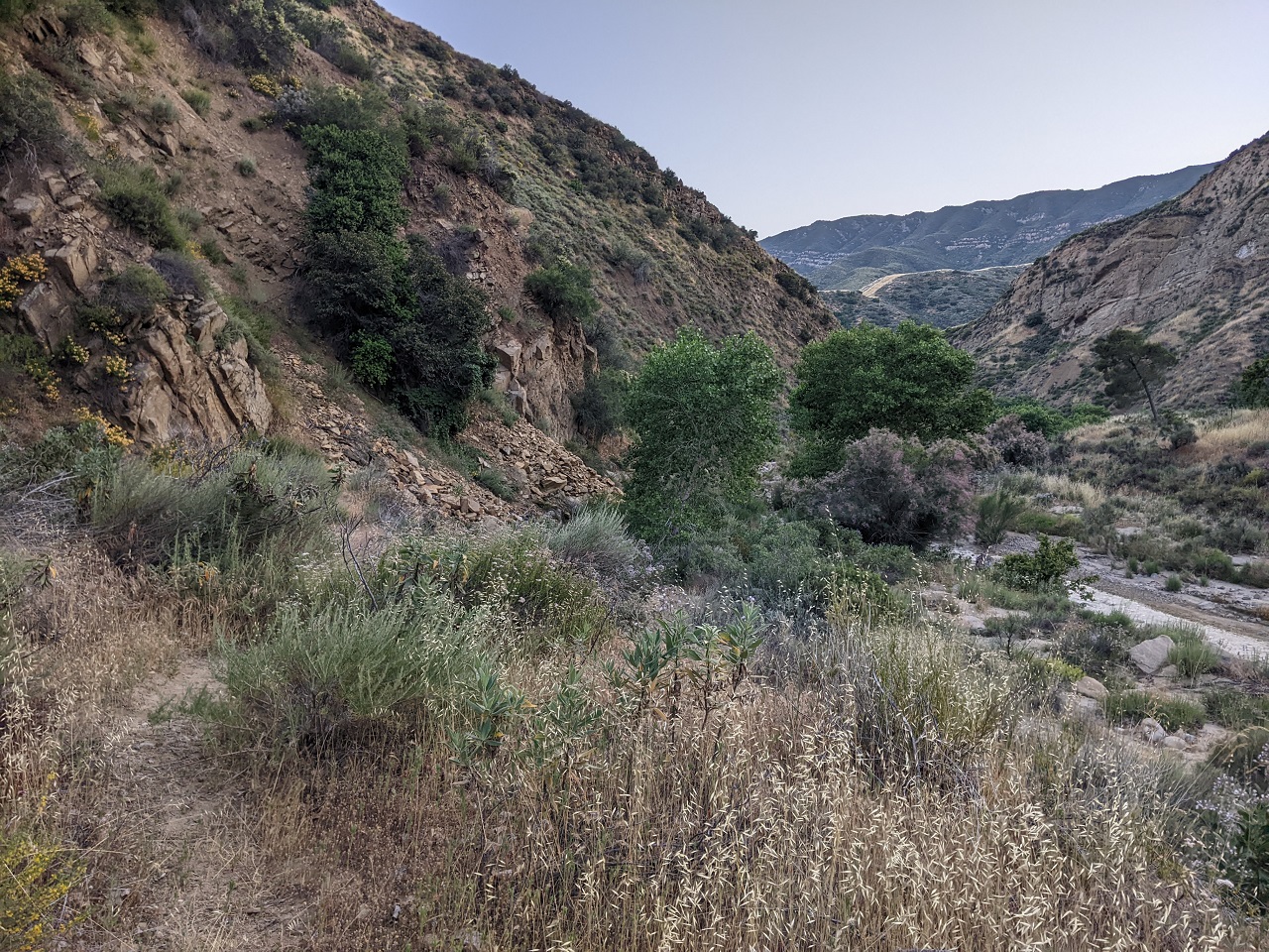
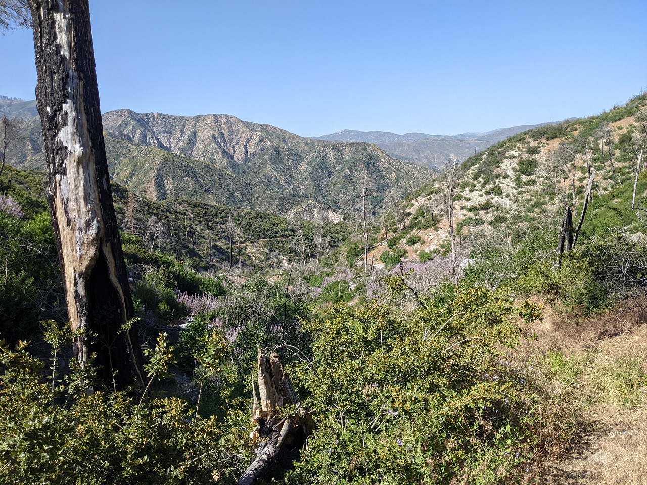
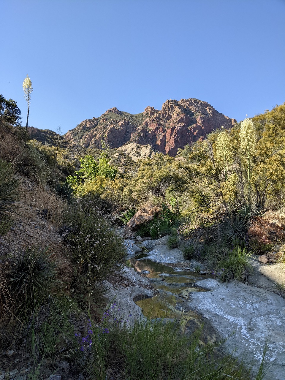
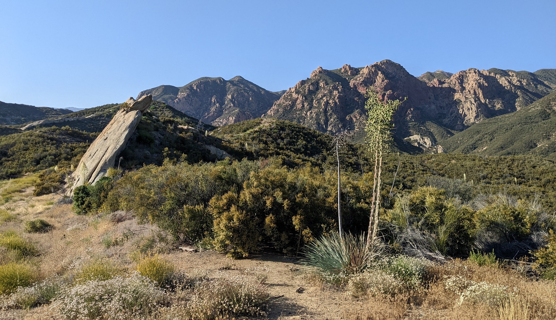
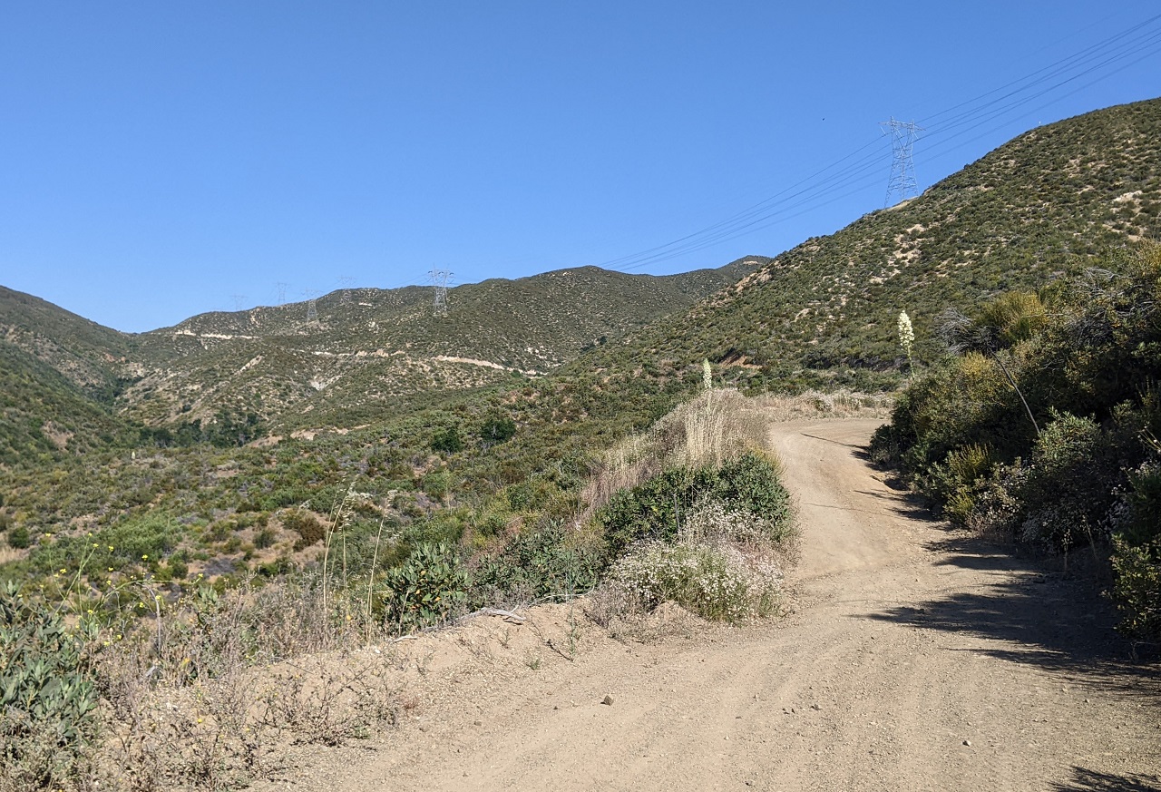
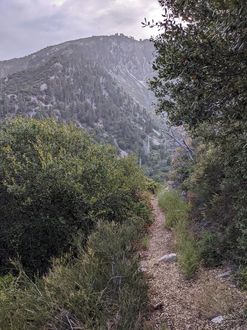
The plan after that was to head over north of LA and scout a section of trail I'd been looking at for some time. The main route I was interested in is Cienaga Canyon, which is the main canyon in the center of the photo below which curves around behind the ridge on the left. I also wanted to explore Warm Springs Canyon, which comes in on the right. Both look super cool but aren't often ridden by bikes, so conditions are unknown.
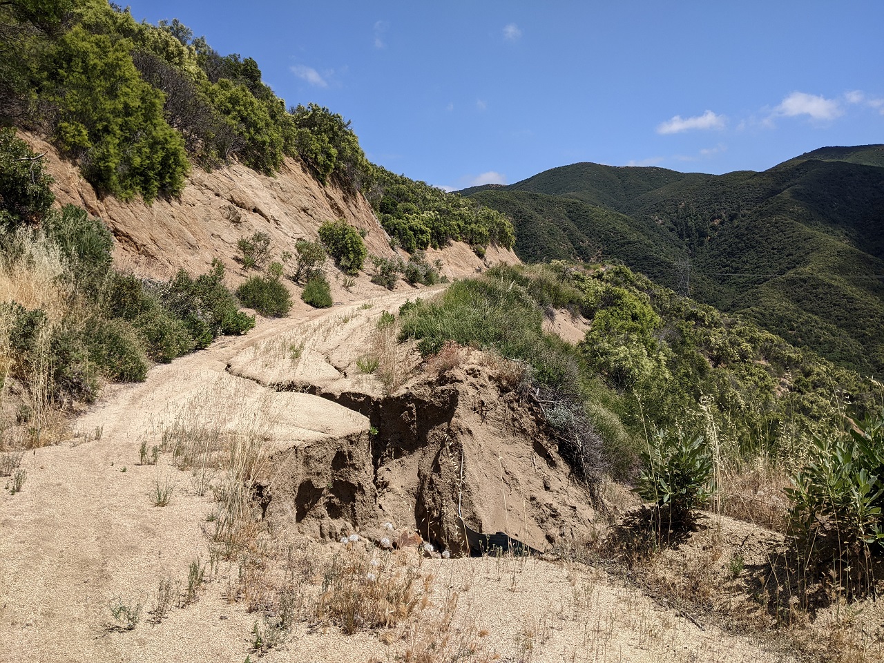
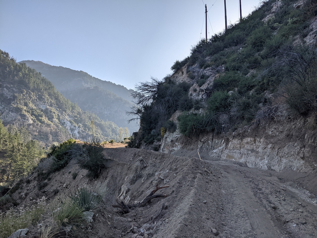
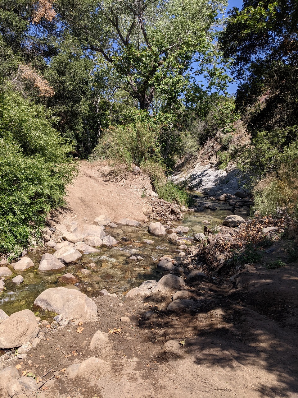
I decided to check out Warm Springs Canyon first. The dirt road gets primitive real fast with lots of storm damage on the first steeper section of road. The road is permanently closed to motor vehicles and is no longer maintained.
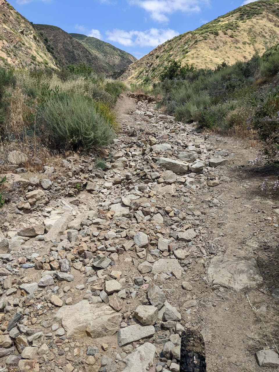
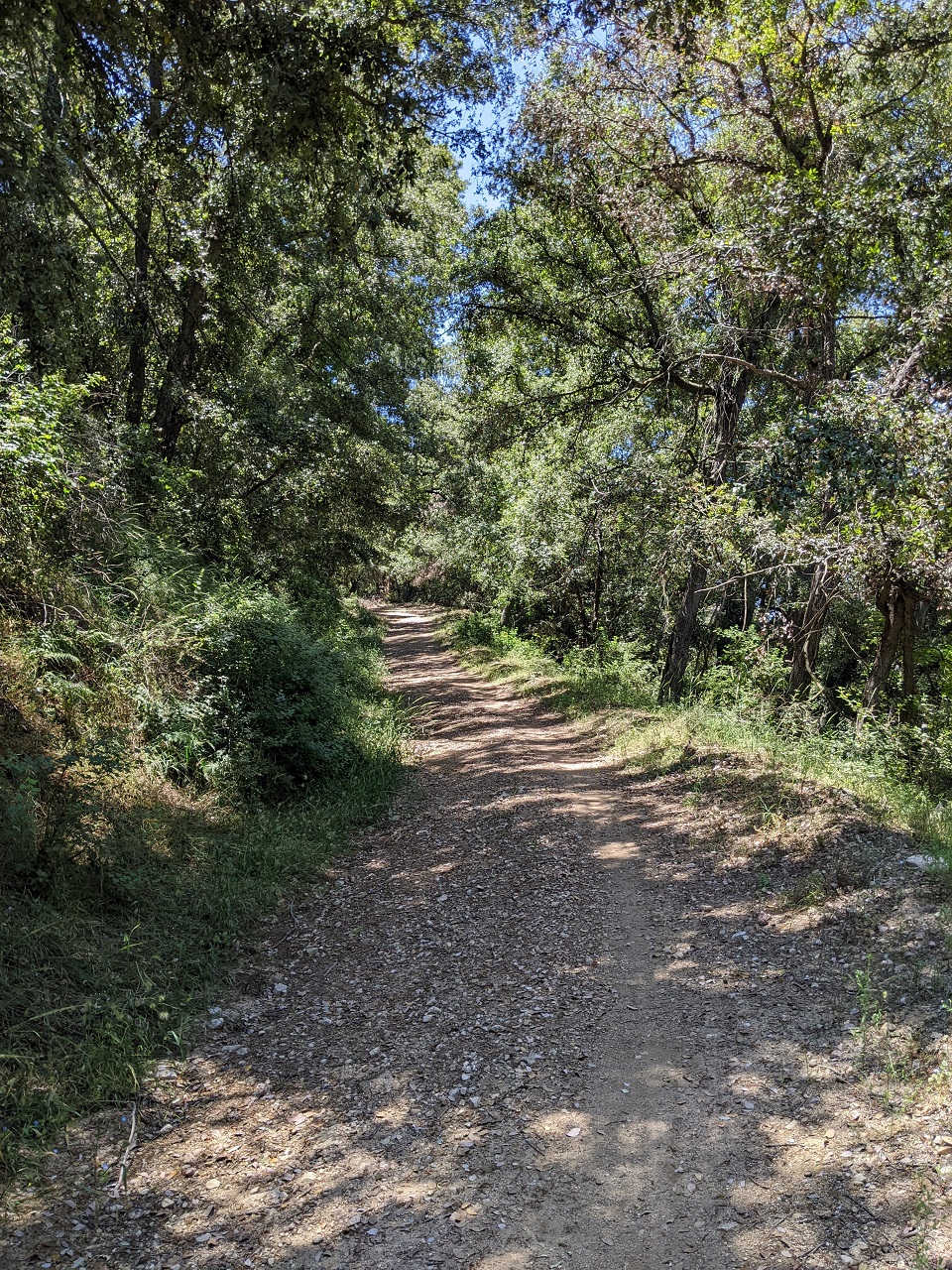
The road narrowed down but its condition improved as the grade mellowed out.
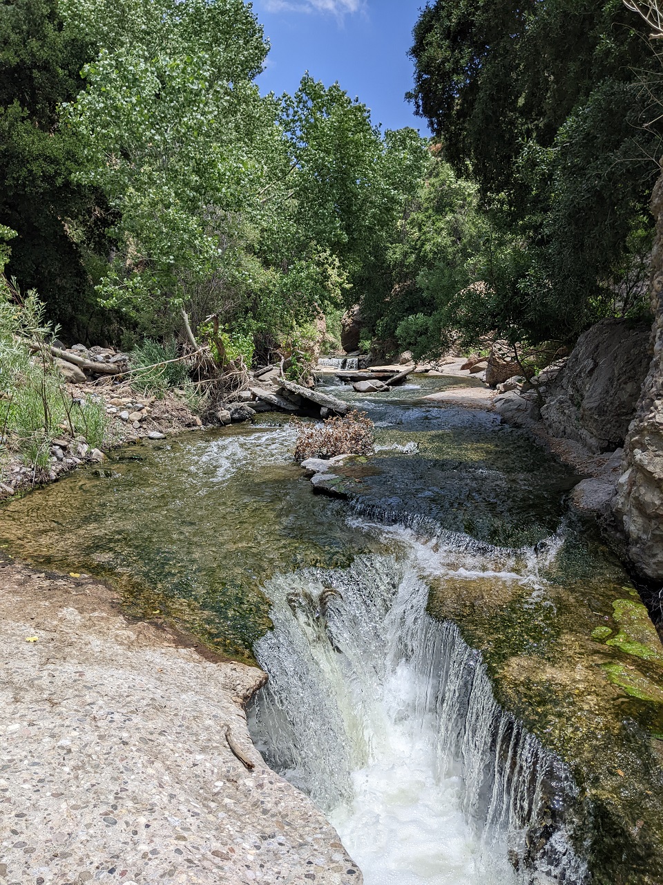
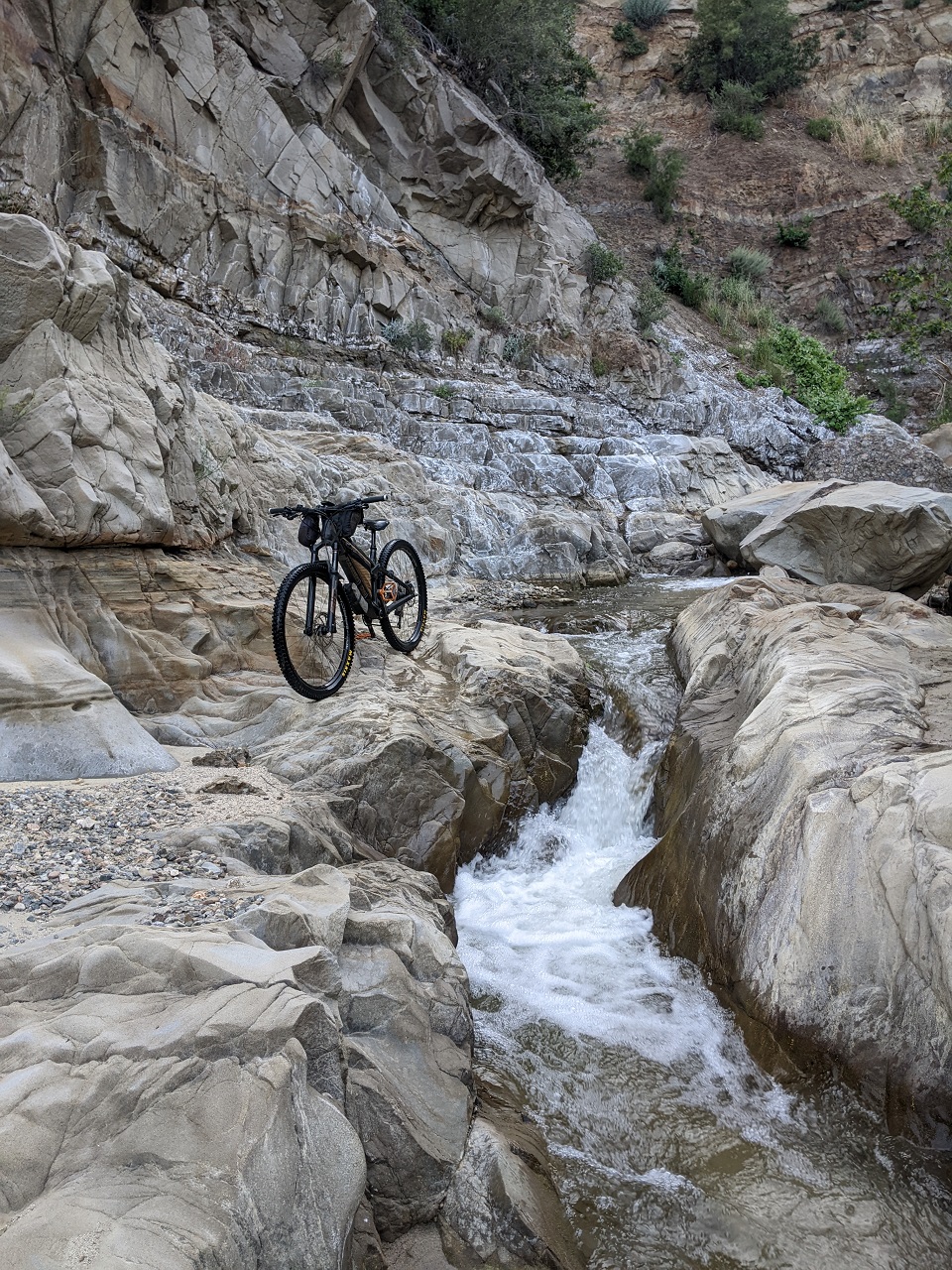
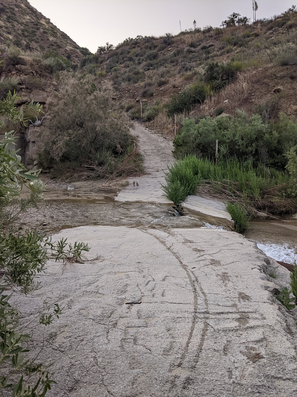
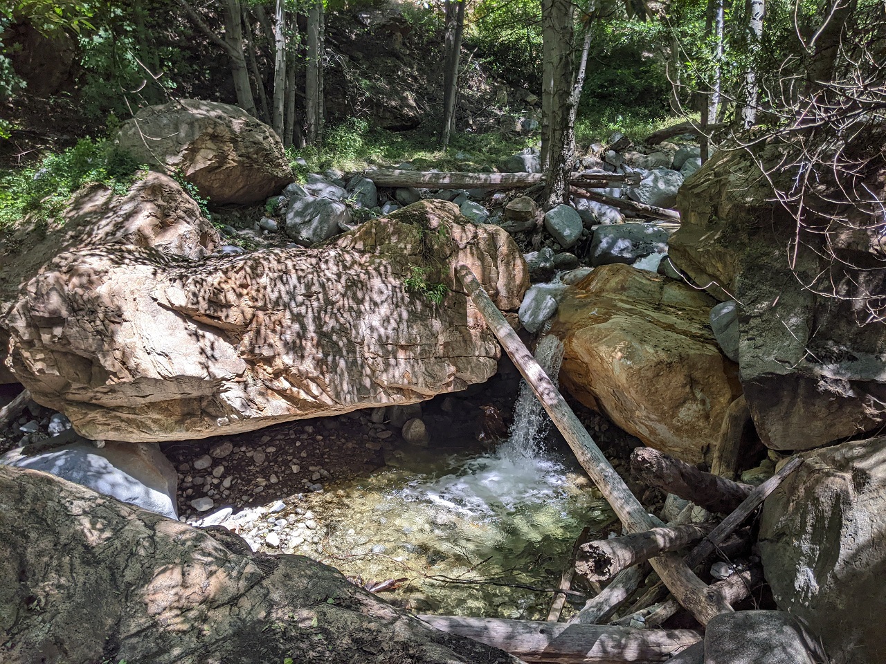
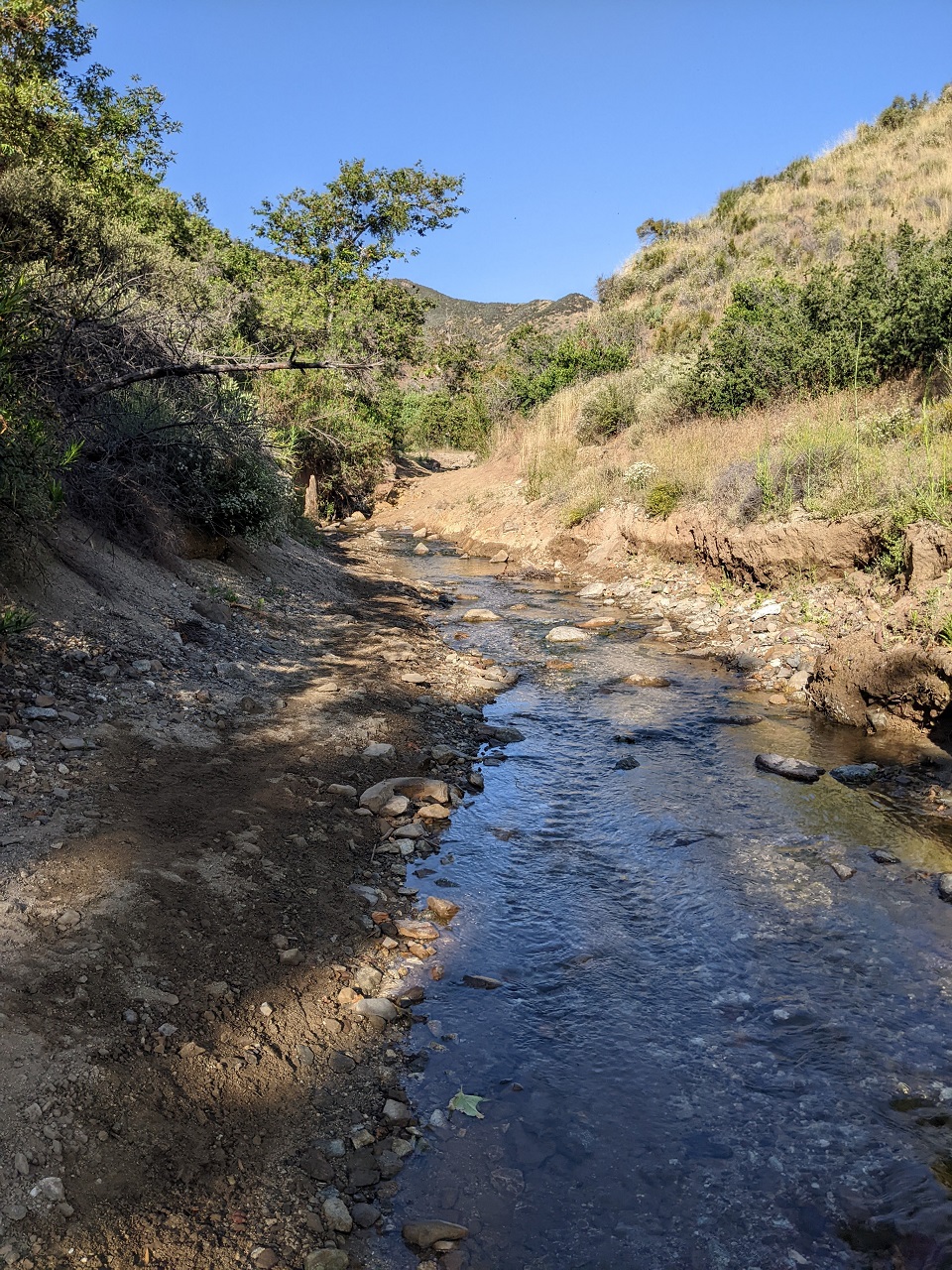
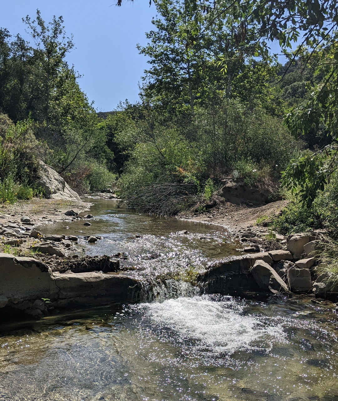
After a number of creek crossings, the road became the creek. Just behind me a heavy gate had been torn away by water and debris. In front, the concrete was undermined by the water and crumbling
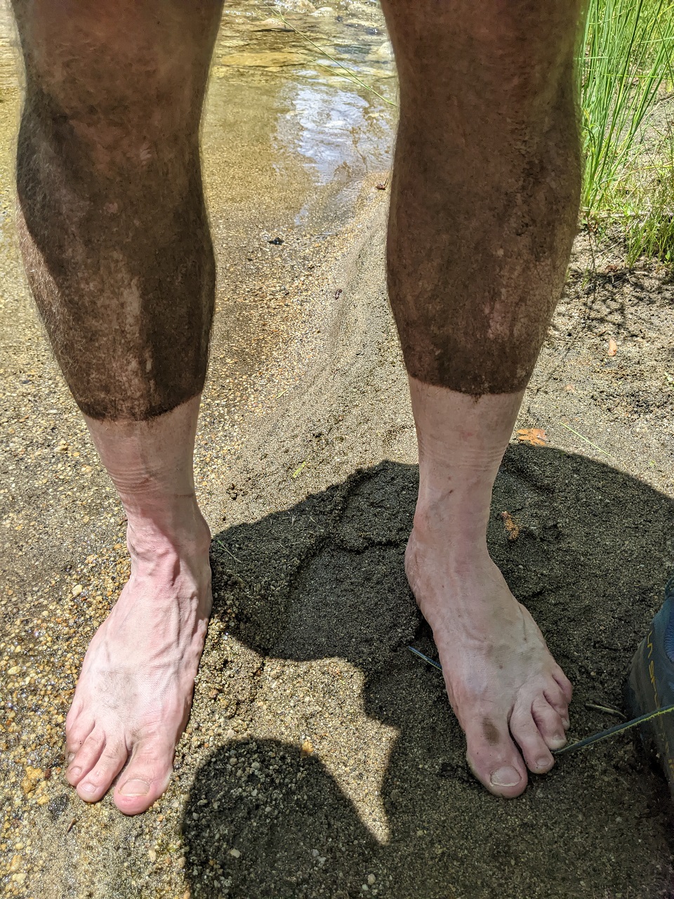
Would make for a great hike on a warm day. I expected to do some hike a bike later so I was trying to keep my feet dry for now.
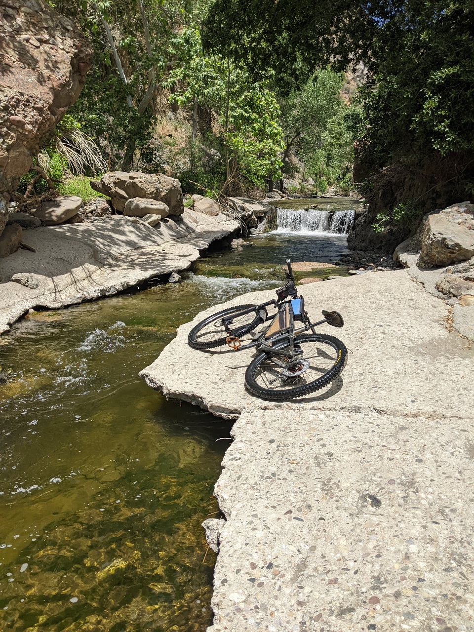
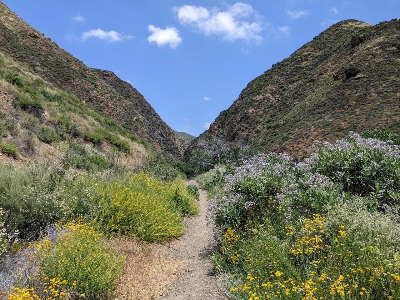
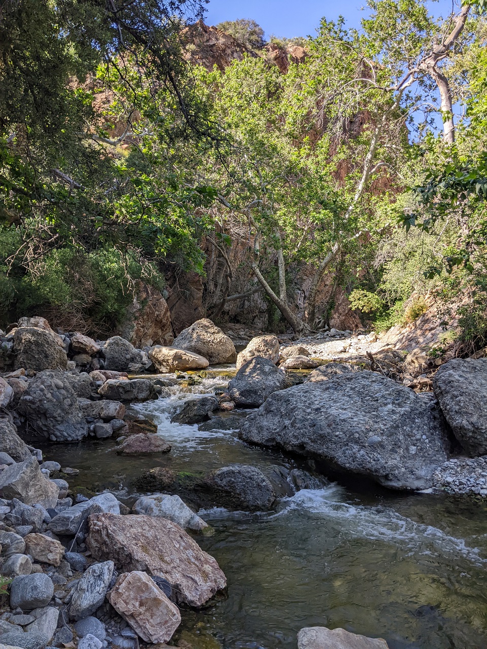
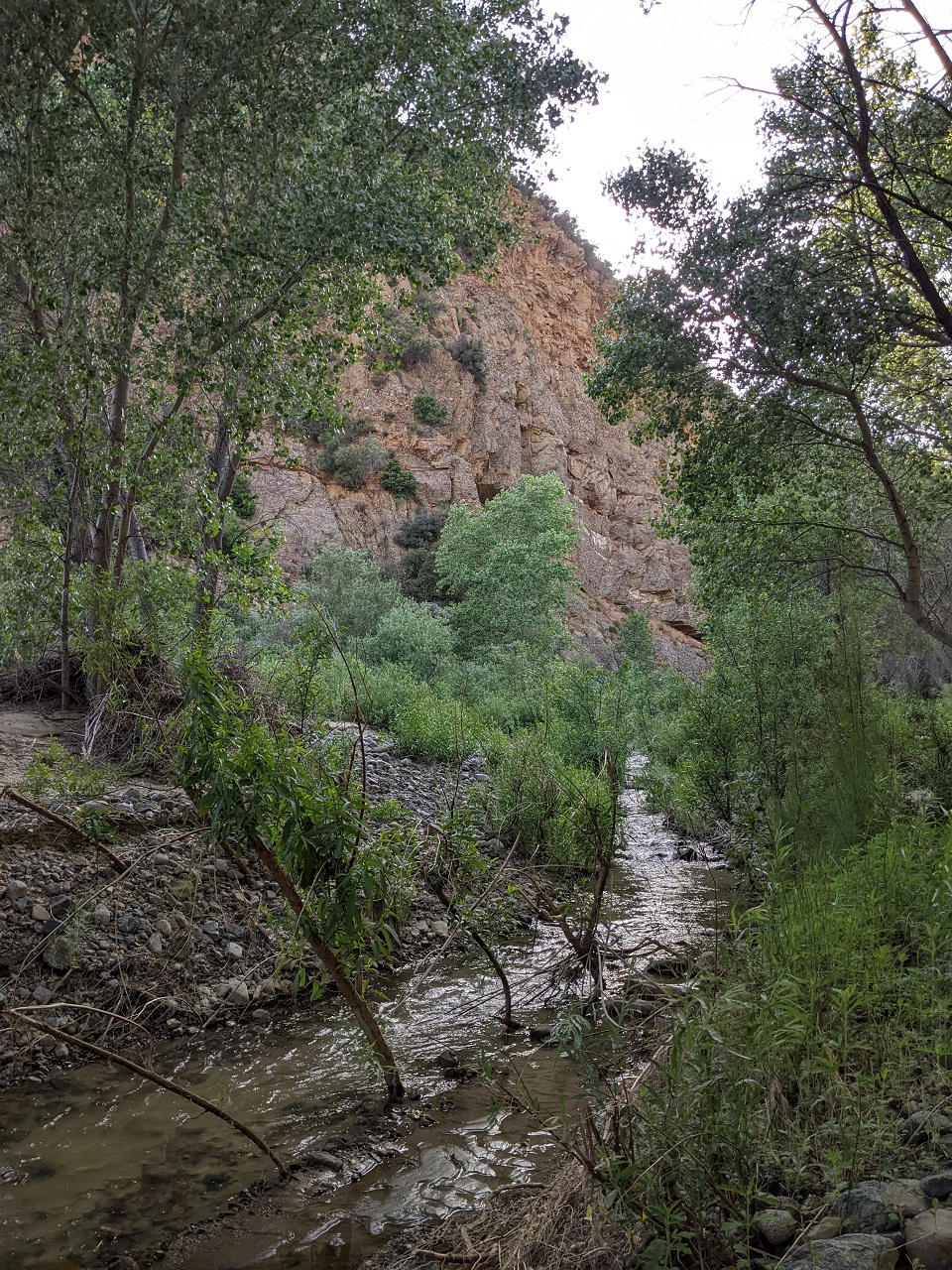
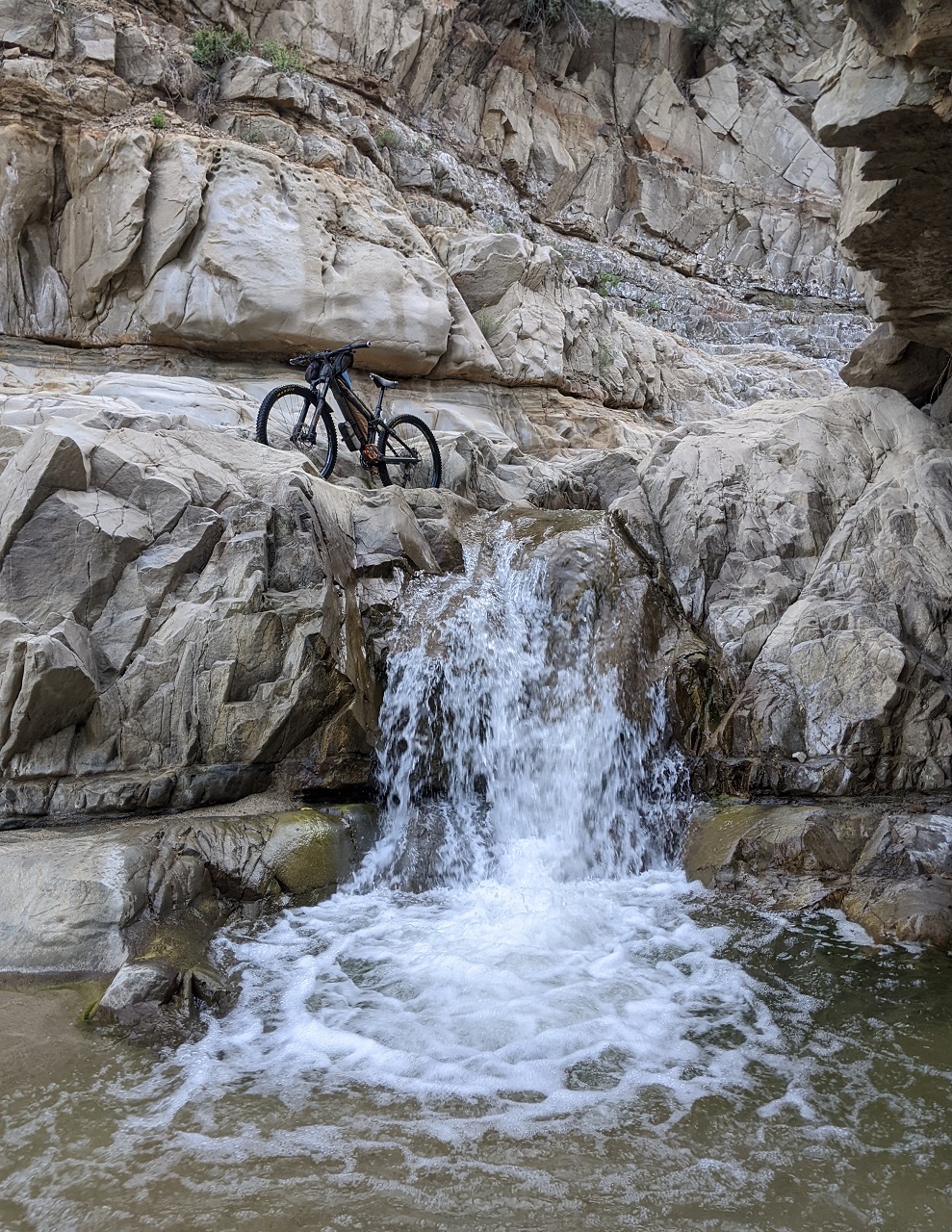
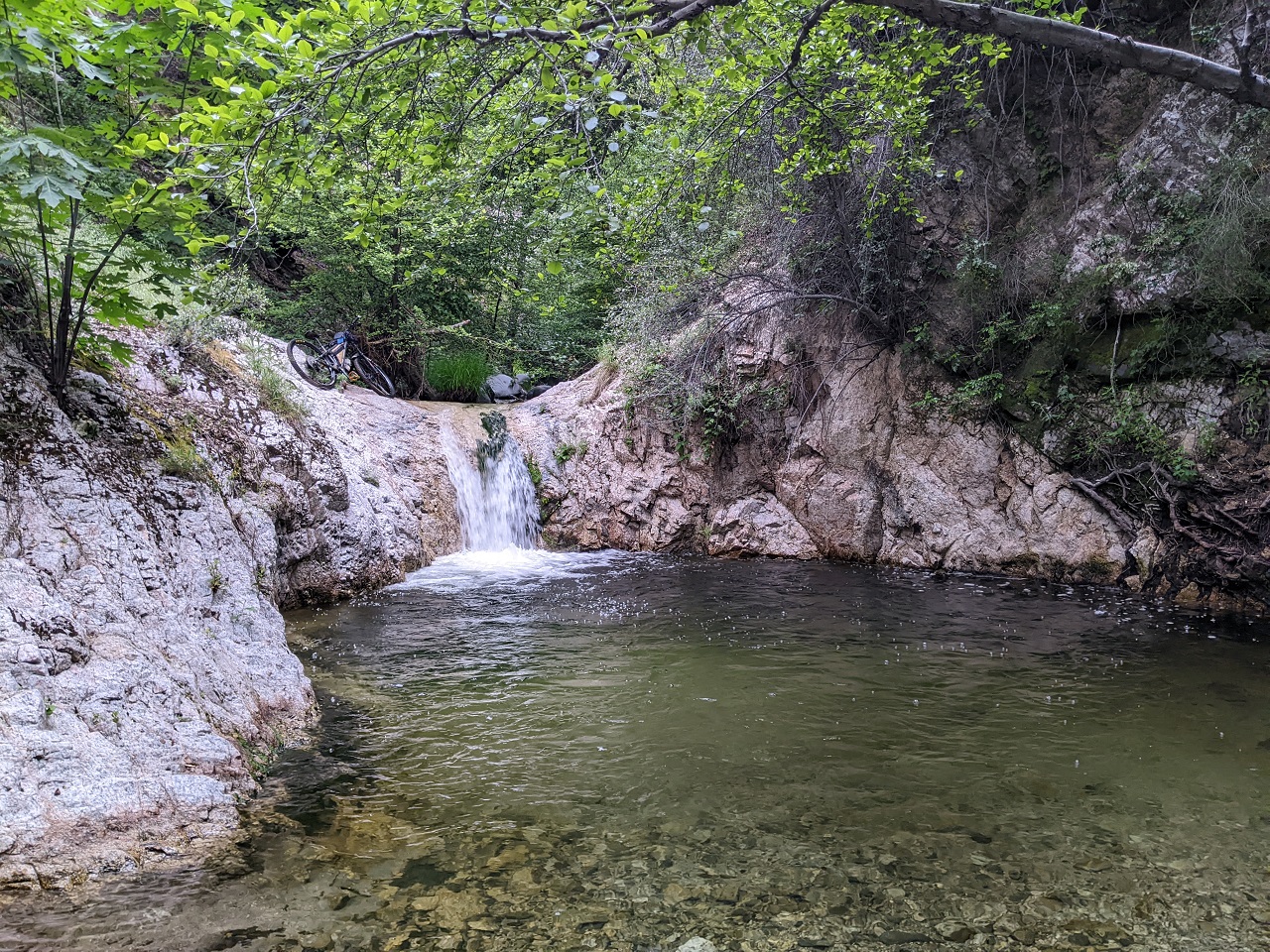
Stream crossings continued. It was a really cool narrow canyon.
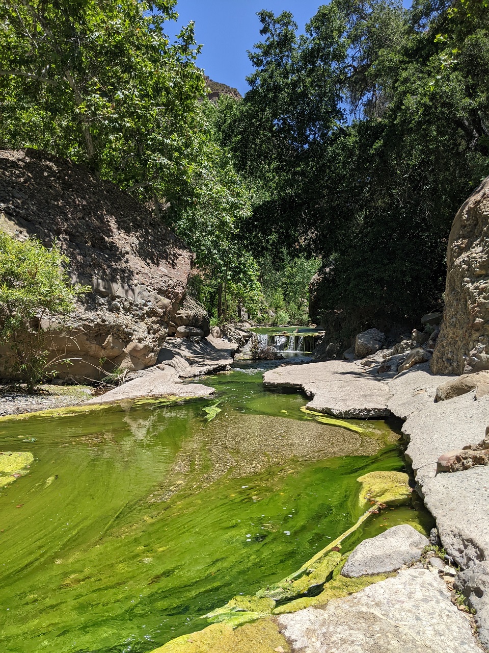
Lots of choice swimming holes
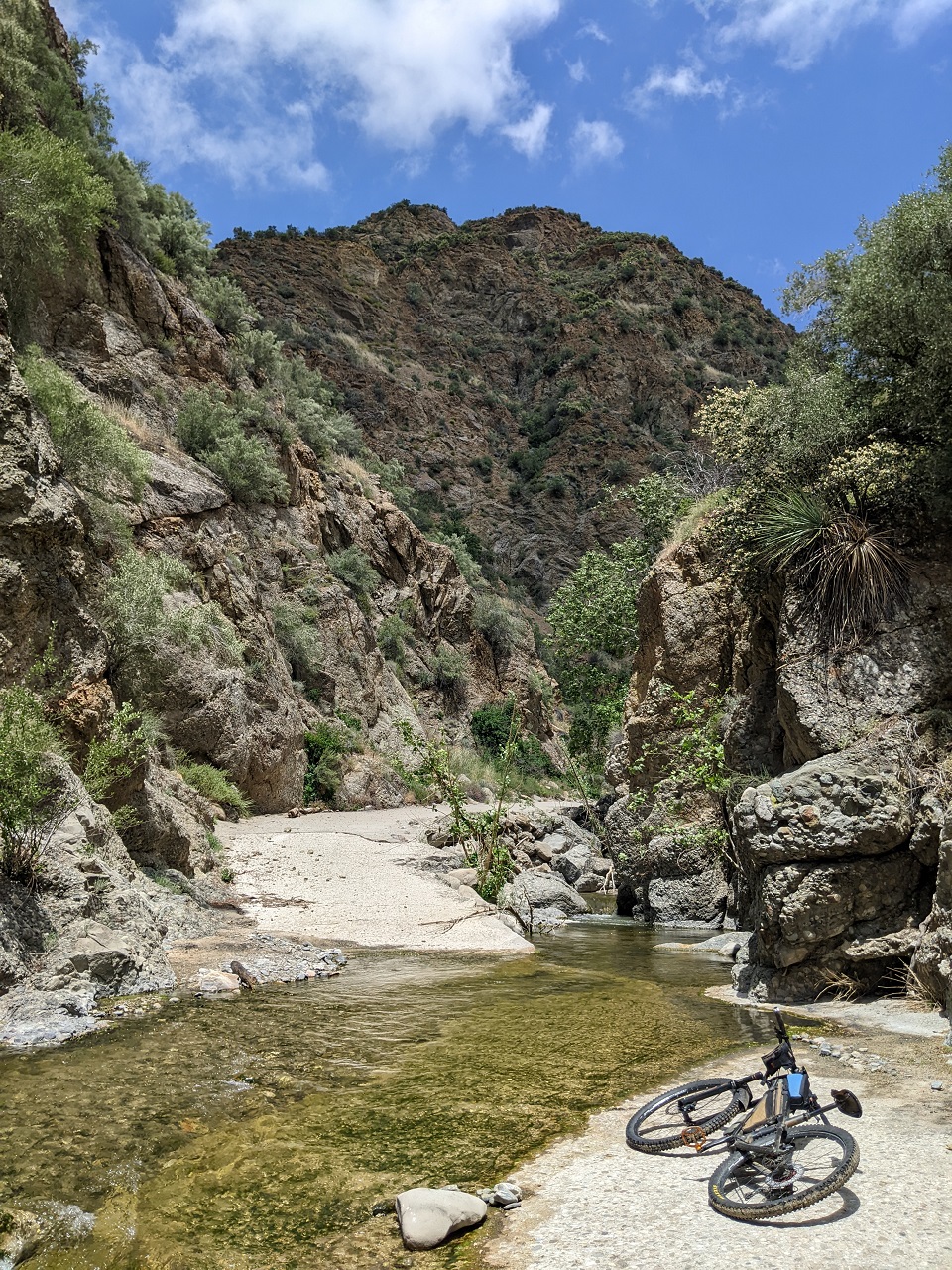
I passed the abandoned Cienaga campground and kept going. No more stream crossings, no more concrete. And pretty much no traffic beyond the campground except for the occasional dirt bike
The road climbs up about 1200ft to Warm Springs Divide
Other than a few washouts and other damage the road was in pretty good shape
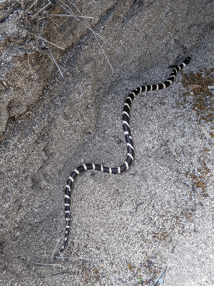
California King!
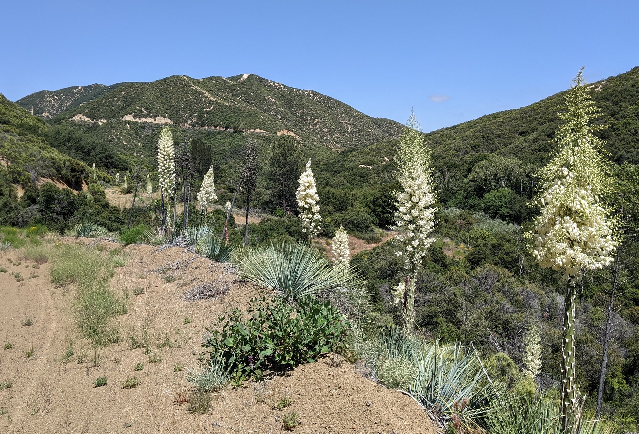
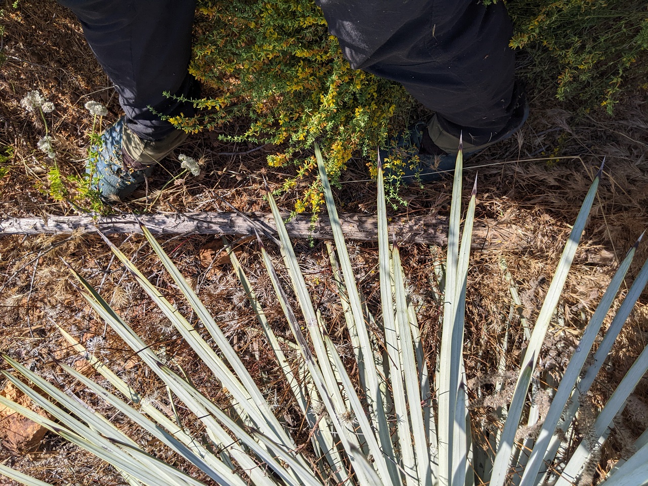
Lots of yucca. The high point of the road is just ahead (that's a different road heading up to the left)
The original plan was to follow Warm Springs Truck Trail all the way to Lake Hughes Road. But it had been in pretty good shape and I didn't feel like dropping down a thousand feet just to climb back up.
So I turned around at the saddle and headed back down to Cienaga campground, which is down where the oak trees are in the pic below.
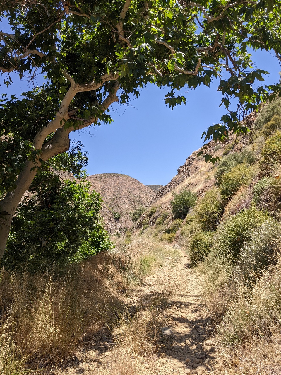
The second part of the mission was to check out the bottom of Fish Creek Trail. This one goes all the way up to Liebre Mountain, but much of it has been impassable for years due to fires, storms and neglect.
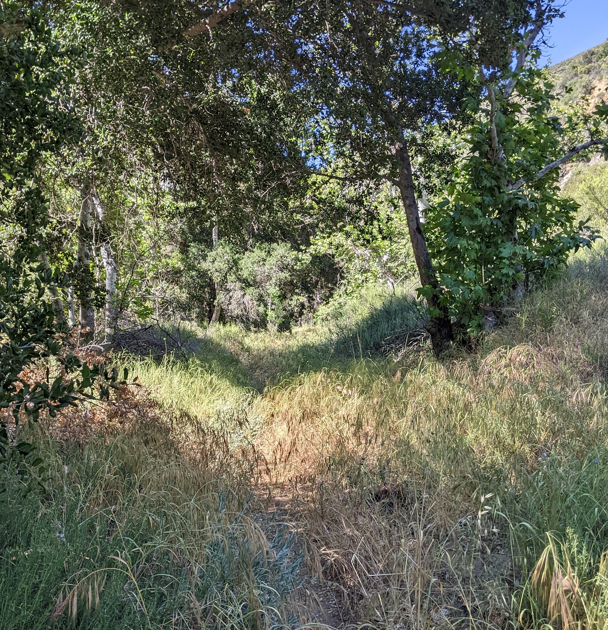
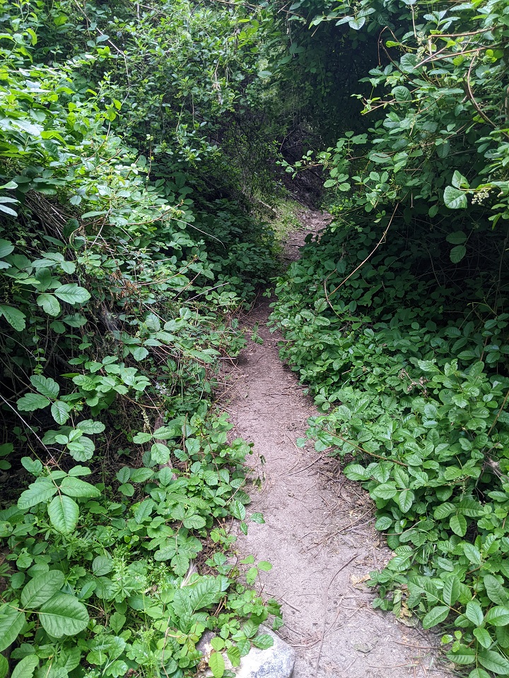
The bottom part of the trail was in decent shape. A bit overgrown but easy to follow. There were a half dozen wet stream crossings.

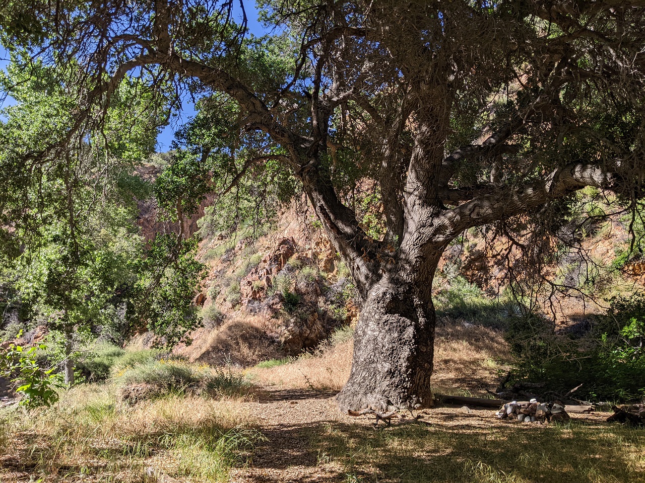
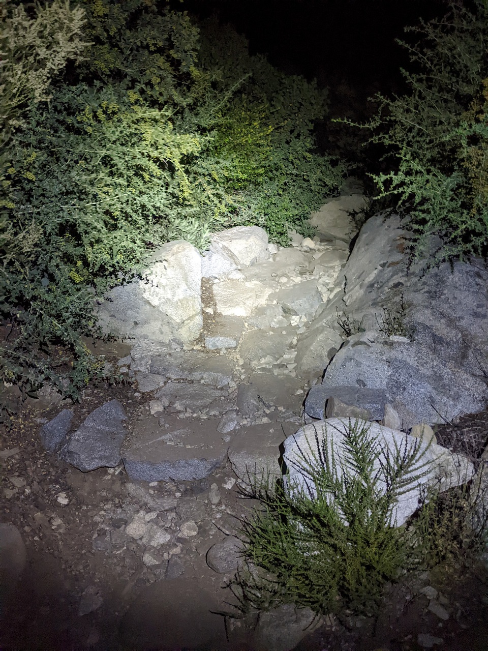
At a spot called the Pianobox Prospect I found this trail camp below a huge oak tree. No signs of use.
The trail continues through the canyon bottom right up the stream bed. Needless to say there was no obvious tread.
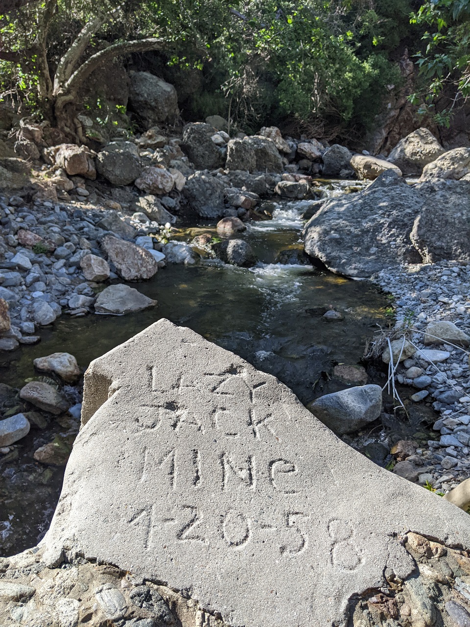
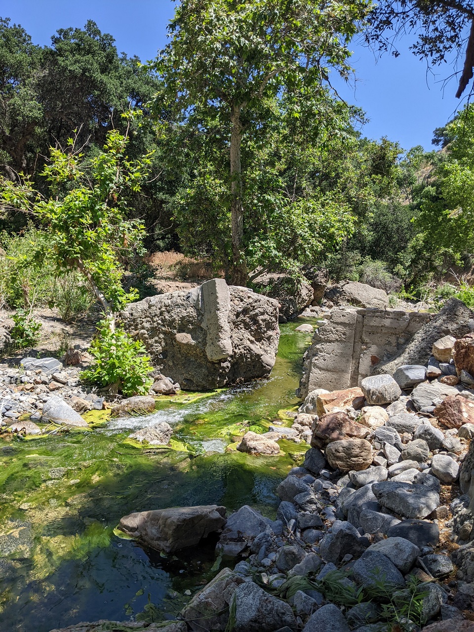
I didn't see any mine shafts but there were some concrete foundations in the creek bed, likely an old dam.
What I was most interested in here is a trail that splits off to the west and climbs over a ridgeline where it connects to Cienaga Canyon. It took a few tries but I found it. And once on it, it wasn't hard to follow. But it was too steep and overgrown to haul a bike through. I figured it might be best to check out Cienaga Canyon first before I do a big bushwack as I was skeptical what kind of effort might be involved to follow this trail.
So rather than continue on I turned back. Tried to ride one of the stream crossings and ended up with wet feet. The rest of the ride back was a lot faster when not removing shoes to keep feet dry.
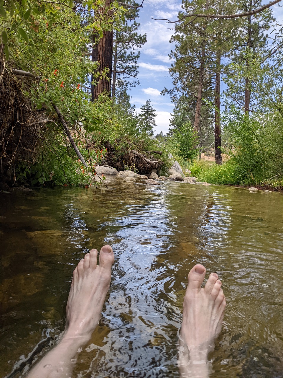
A swim was in order at one of the last crossings. Perfect temps, and great way to finish off the ride.
Verdict on Warm Springs Truck Trail - it is a good option for the route. Nice and primitive without vehicles on it. And the water features make for an interesting ride if we end up using it. Not sure about Fish Canyon quite yet.Last edited by evdog; 06-25-2024 at 01:58 PM. Reason: fix links
-
06-12-2023, 03:36 AM #28
Registered User
- Join Date
- May 2012
- Location
- People's Republic of OB
- Posts
- 5,311
With another day of cool weather I pulled the trigger on the Cienaga Canyon exploration. If not now, it would likely go on the back burner until late fall.
No moto with me on this trip, so I had no way to self shuttle. I settled on riding a loop using the Old Ridge Road which meanders north-south in the hills above I-5 and connects directly to the forest road I will start on.
Riding ORR would add 19 miles of pavement and over 3k gain to get to the start of the dirt. But the ORR is gated at both ends so at least it would be a quiet ride. Well, except for the freeway noise from far below. And the damn roadies buzzing past.
The pavement was not bad, took less than 3hrs. Lots of cool scenery and old history like the hotel ruins above. Upon reaching my turnoff, spotted another one of those CRHT stickers. It's everywhere I want to be, lol.
Most of the climbing was already done for the day so once on dirt the road traverses around the south of Liebre Mtn and out of sight
Nice doubletrack. There is an active mine somewhere back here and there were recent tire tracks on the road.
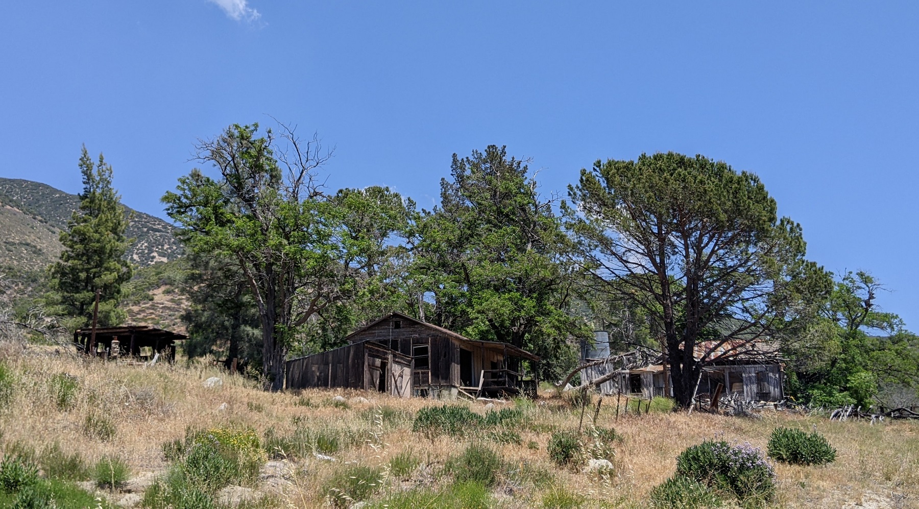
Looking down at Knapp Ranch sitting under the distant pine trees. The ranch dates back to the early 1900s but is now owned by the Forest Service
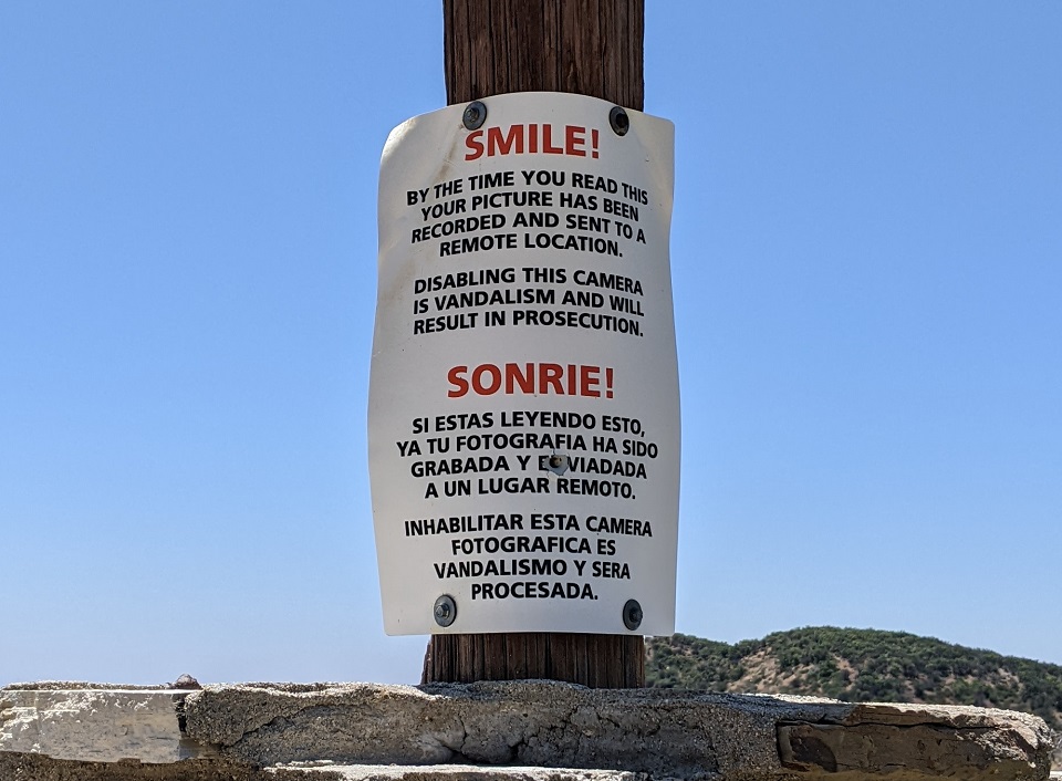
Sure it has, with no camera or electricity....
Knapp Ranch, or is it the Mickey Mouse Ranch?
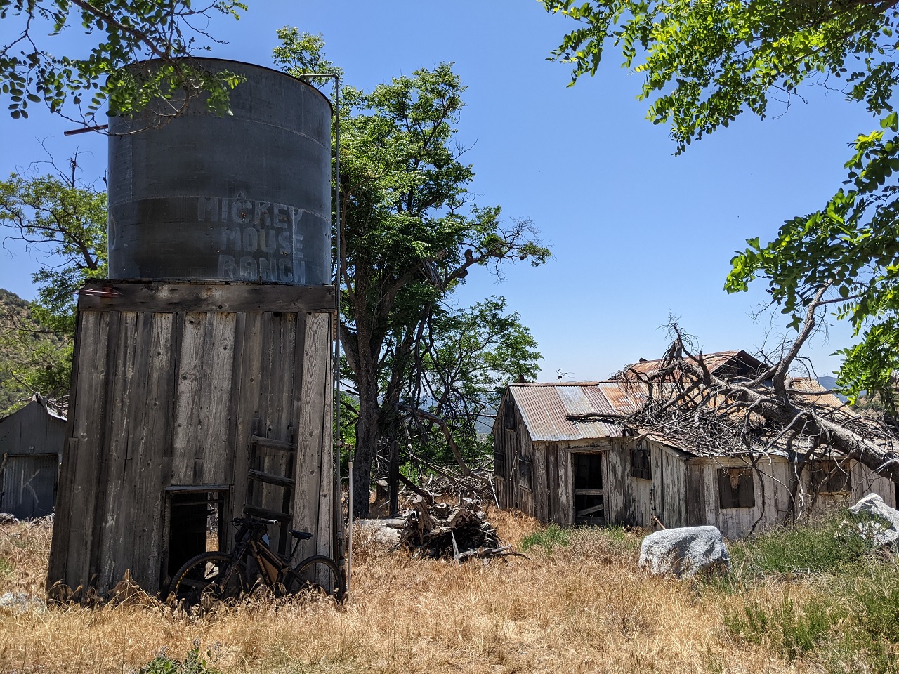
Spent a bit of time walking around and checking out the buildings. Kind of a creepy place, complete with doors that bang open and shut in the breeze
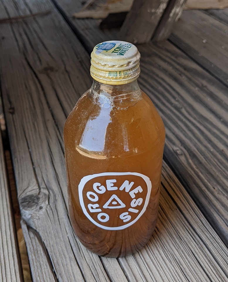
Orogenesis Tonic Water!
Time to get going. I've read ride reports by one group who has ridden this canyon a few times. There was mention of difficulty following the trail in a few spots plus photos of heavy brush had me a bit apprehensive about this ride. But the most recent TR also mentioned just 3 hours ride time. I had all afternoon, so what could go wrong?
The trail down Cienaga Canyon was originally an Indian trail leading to settlements in the canyon. After the settlements were systematically depopulated by Spanish Missionaries in the early 1800s the trail was used by hunters and by miners searching for gold in the canyons. Once the ranch was homesteaded in the early 1900s the trail was bladed into a ranch road. It was abandoned after the 1950s and faded back to singletrack, only seeing occasional use since then.
Finding the trail right out of the ranch house was said to be a problem, but the old road seemed pretty obvious to me heading south and then turning slightly west after crossing a wash
Looking back at the ranch. The road turned right here around this post and then followed a fenceline west. I could see a road cut climbing up a short hillside from here. This seemed to be going well.
There was a series of tall fence posts...or maybe telephone poles on one side of the road cut. Between that, the obvious bench, and the different vegetation navigation proved to be quite simple.
What made it harder was the debris spread over the road cut. Seemed like it had been re-bladed into a fire break years ago with branches and cut trees spread over the break to discourage vehicles. There was enough debris it actually made riding hard, especially when hidden by the brush.
Just below Bear Canyon, the route turns left and then climbs up a couple switchbacks on its way up to a ridgeline. This was another navigational challenge mentioned with a landslide wiping out the trail. But the road cut had definitely been bladed back into shape and there was no issue spotting the turns.
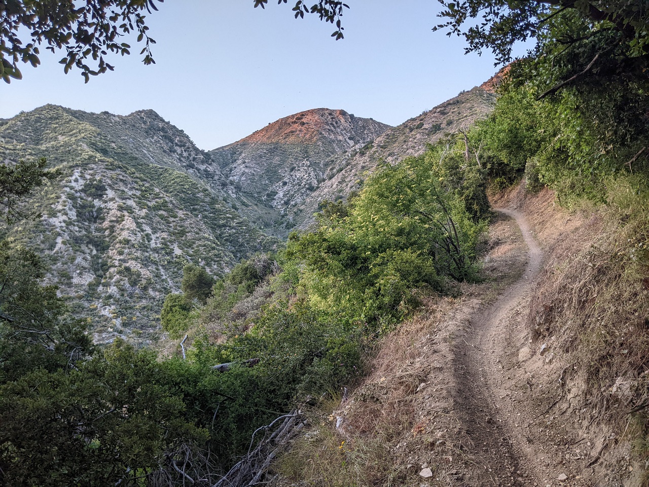
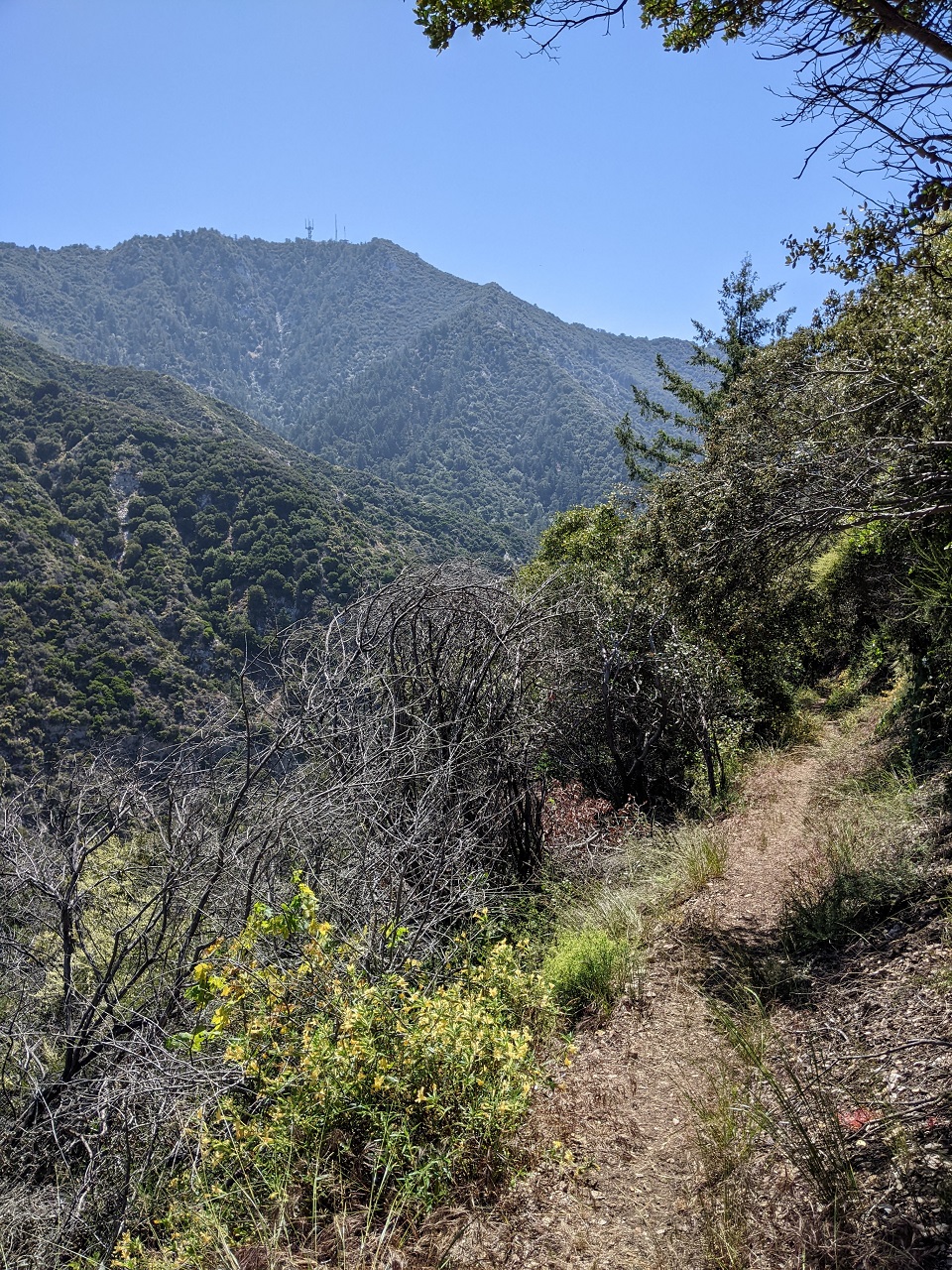
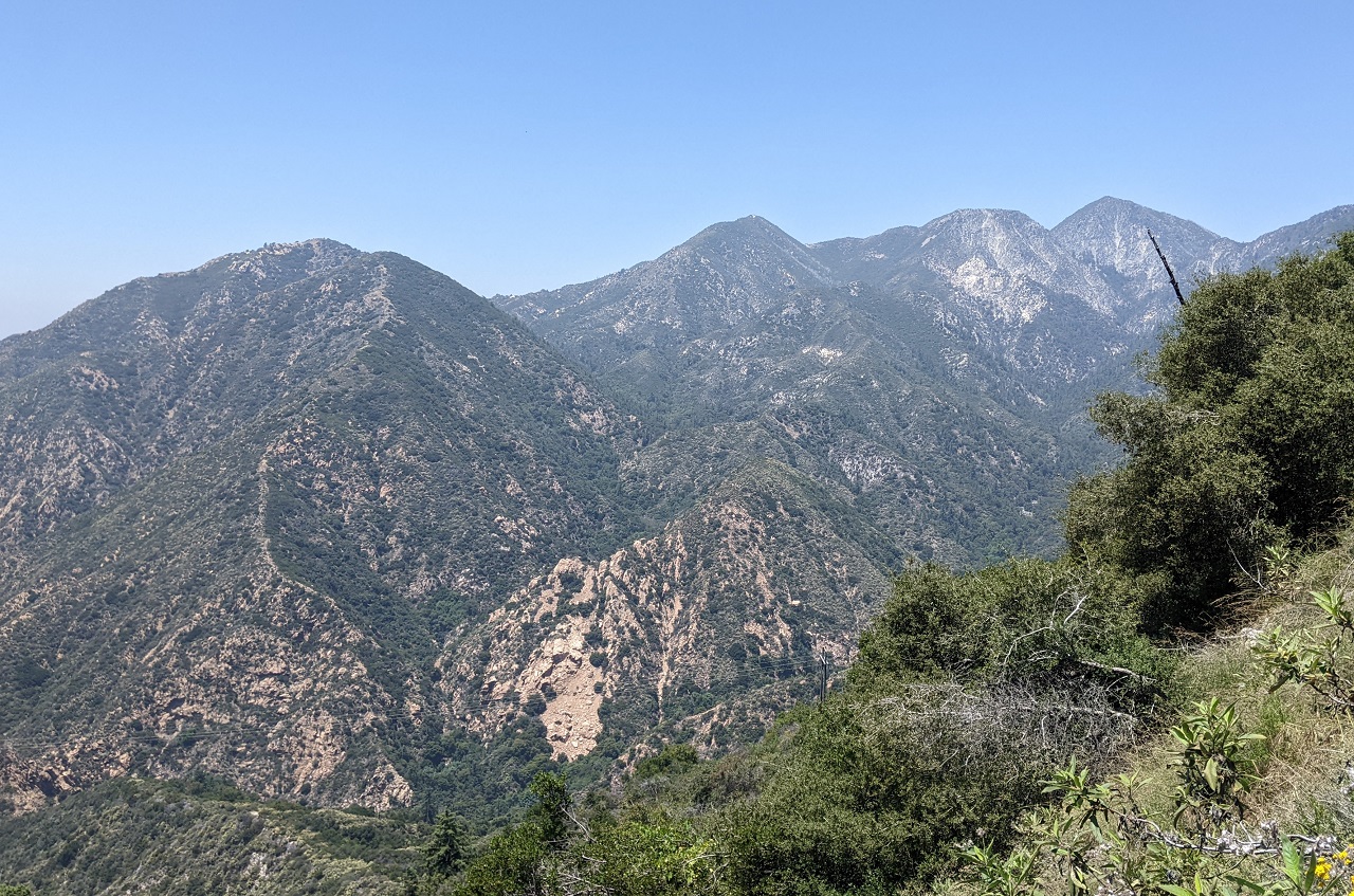
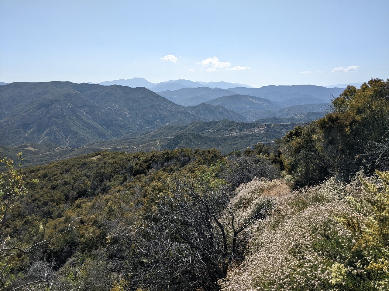
Great views from the top of the climb.
Looking over Red Rock Canyon
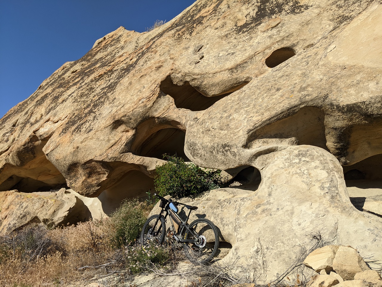
I recognized this rock from the old trip reports. There is definitely more brush now. Brush had been sparse for a while up top, but dropping back down it became thick again.
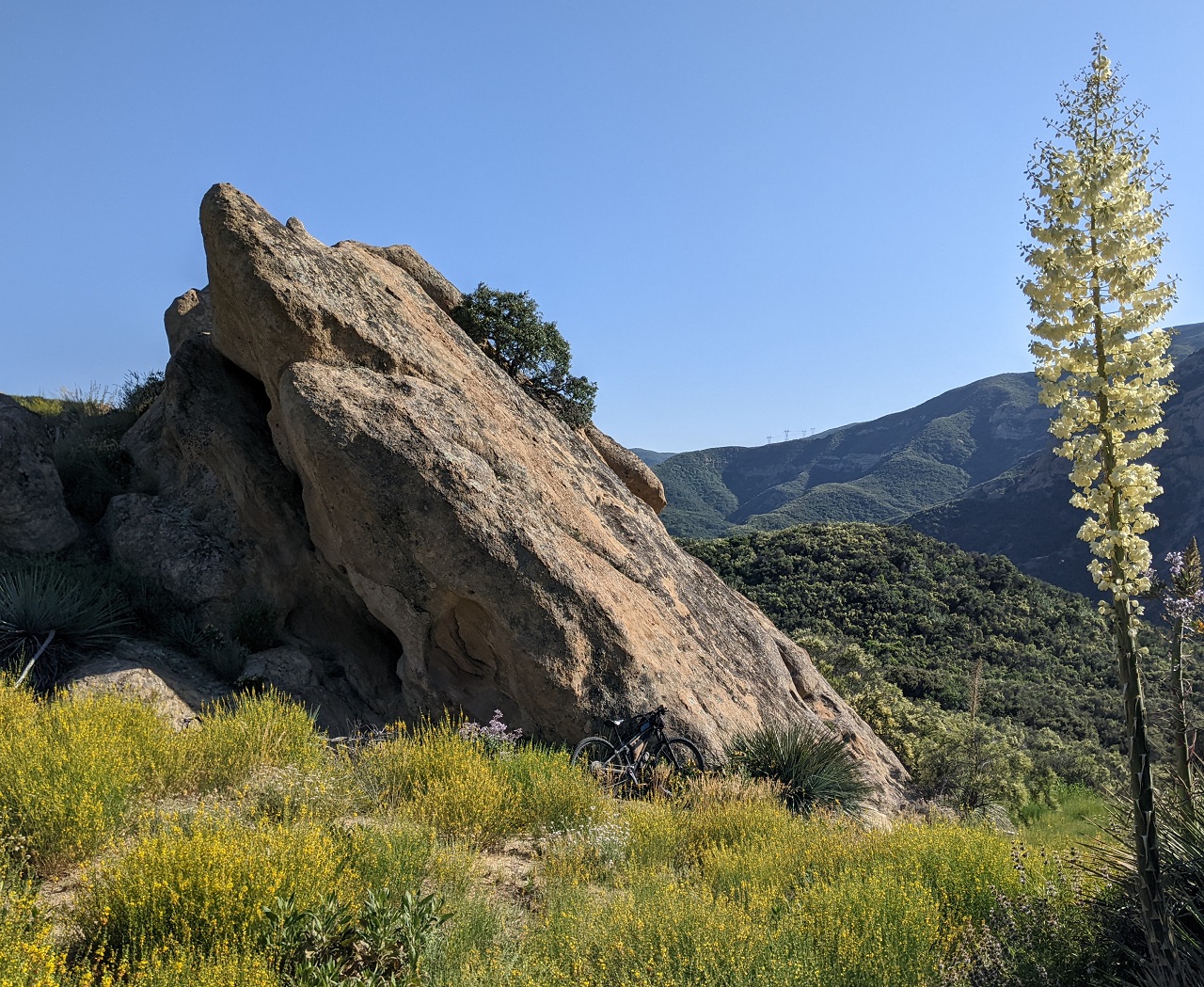
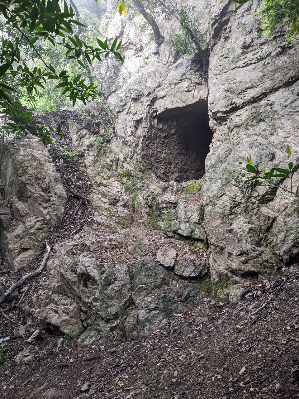
Cool caves right next to the road
Last view before dropping down. At this spot the trail from Fish Canyon should have intersected this trail. But I never saw it. And by the time I'd realized I missed it I was in no mood to go back (see next photos)
The road crossed around to the east side of the ridge and brush exploded as it dropped down. I couldn't push through the brush, had to drag the bike over top of it.
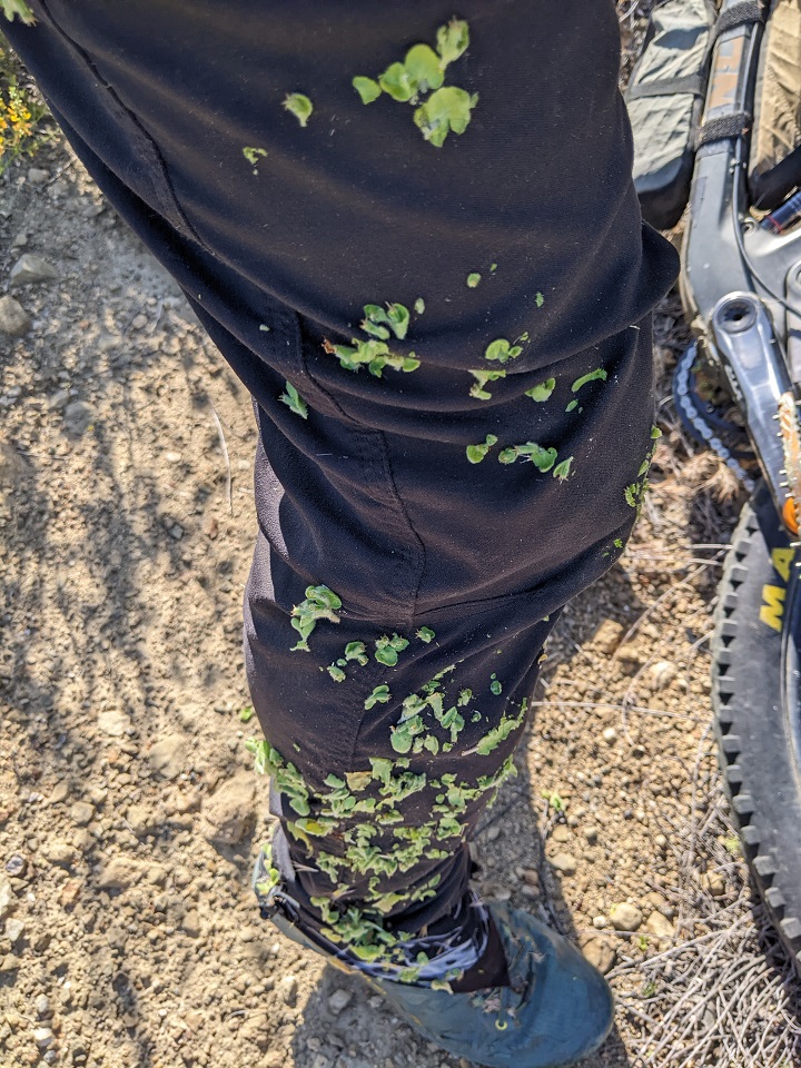
I'll call this velcro plant. It was nasty. The only way to get it off my pants was to let it dry and then crush and scrape it off.
The brush thinned here as I dropped down but only due to tons of rockfall from above. Down by the trees the brush got bad again.
Finally dropping back into Castaic Creek. I was hoping things would get easier here. And it did...for about 50 feet. Then the trail disappeared into a mess of storm debris.
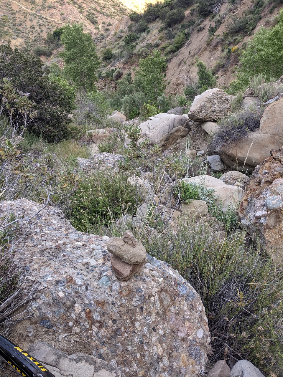
For the next half mile I was back and forth between road cut and creek bed. Every time I’d find a section of trail it would end in a rock fall or wall of brush or poison oak. At one point I climbed up on rockfall on the canyon wall to bypass some thick brush. Spotted a couple cairns on the rocks, so I wasn't the only one going this way.
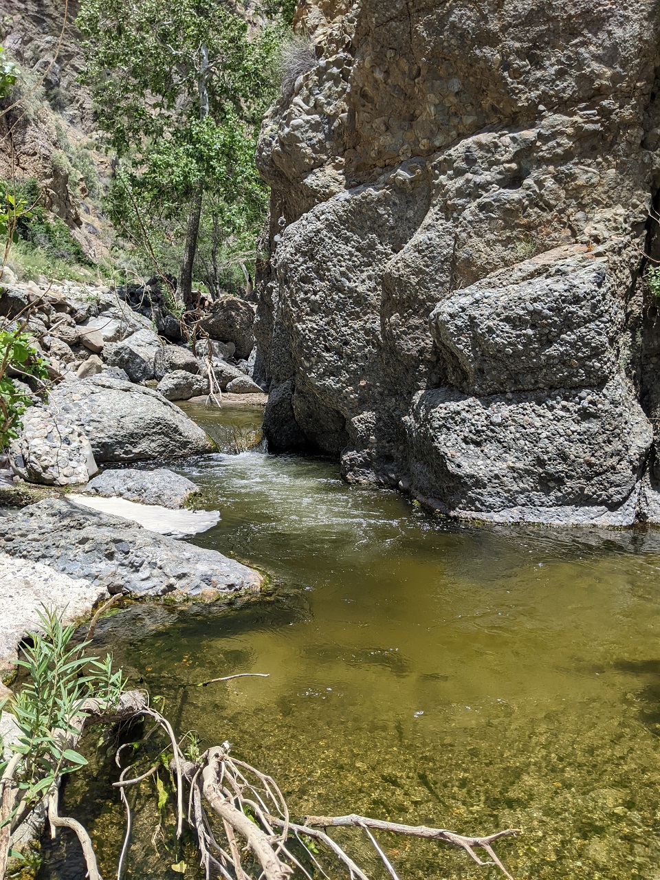
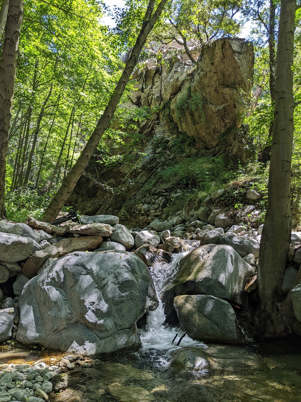
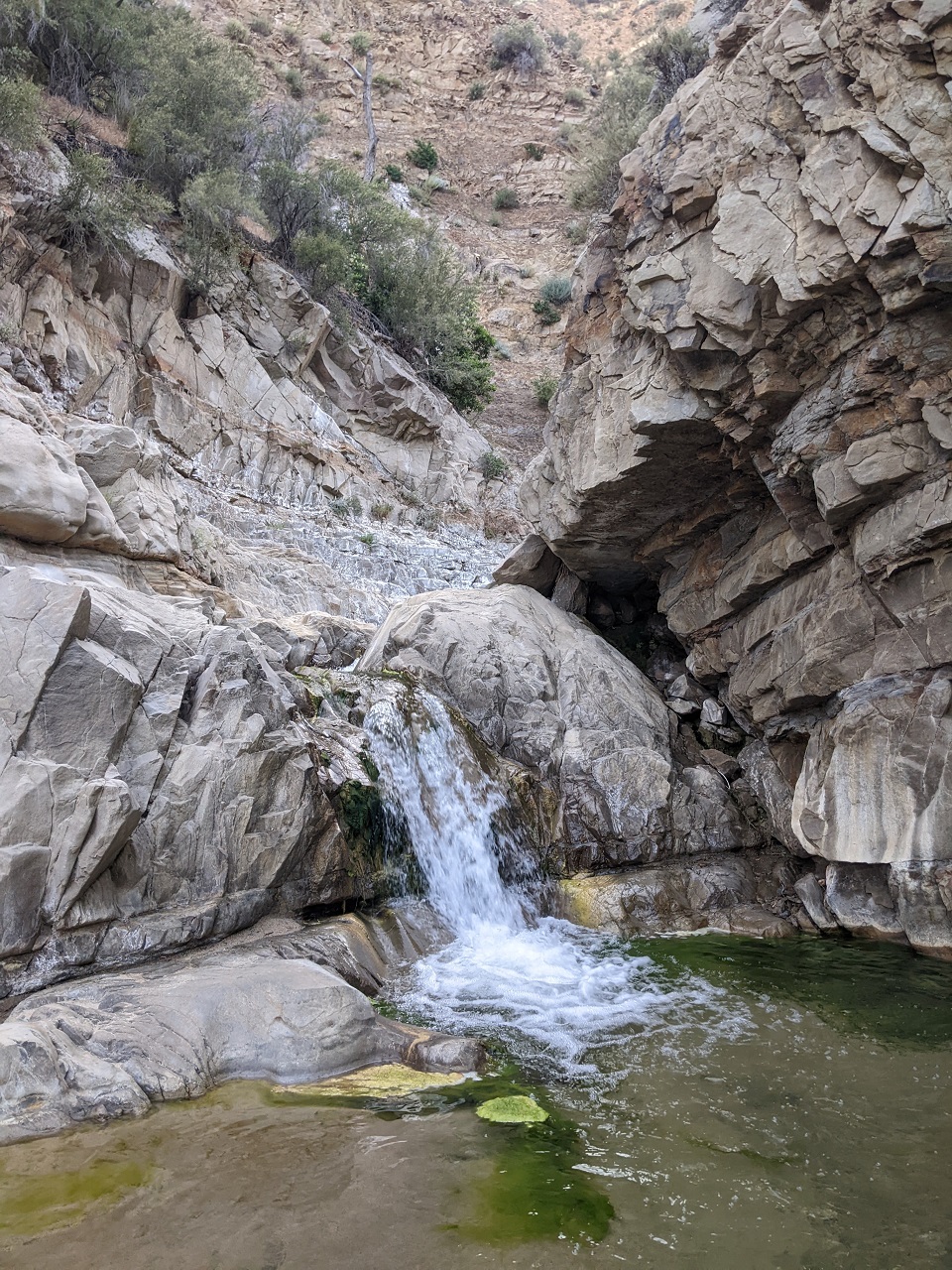
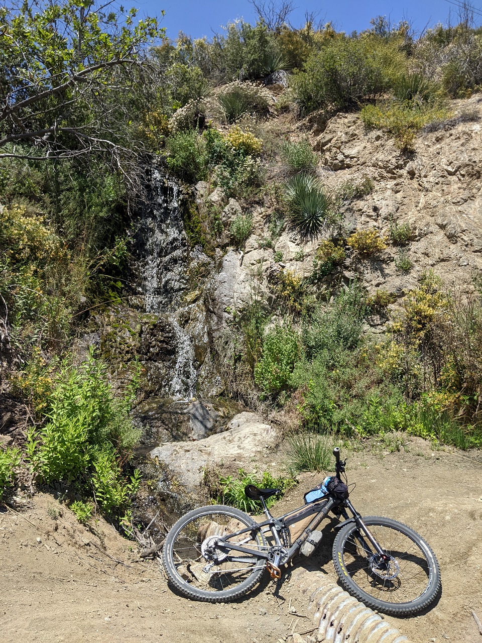
Finally a large washout ended the road cut for good and I was down in the creek bed. Passed through a cool waterfall section. This was some of the easiest going for quite a while
Found the spot where the trail cut across a bend in the creek. It went from following obvious trail to following cairns pretty quick.
And then out of nowhere was a concrete stream crossing. It’s only real benefits now are 100ft of smooth sailing, and confirmation you’re on the right path. Then, soon as it ended the bushwack resumed.
Final section of road cut. At the rockfall just ahead it would be back into the creek again. Not far beyond that, was the end.
What a day. My ride time from start of 7N23 to the end was around 7 hours. So...double what the last TR stated. I take that as proof the trail condition has deteriorated in the last few years.
Up to the rock caves, the route had been pretty good despite the overgrowth. It really just needs to have the brush cut back and debris removed to make it rideable.
I'd say the section dropping down to Castaic Creek through to the end is a lost cause. There is nothing there to rehab. You'd be trying to build trail in a canyon that mother nature is continually trying to destroy. For half of that stretch there is no real way to avoid the creek bed.
So I still need to get back in and check the trail over to Fish Canyon. It climbs and descends around 1000ft in 3 miles but at least it won't be in a creek bed. I'll put this down as a long-term wish list for the route. But for now it's not usable.Last edited by evdog; 06-25-2024 at 02:01 PM. Reason: fix links
-
06-12-2023, 10:31 PM #29
Registered User
- Join Date
- May 2012
- Location
- People's Republic of OB
- Posts
- 5,311
With temps warming up a bit I decided to go up a bit in elevation.
Original plan: head back up Mt Gleason and do a bit more exploring. The gate at the bottom was still locked though, and I didn't feel like a 7 mile pavement climb to get up there.
Plan B: climb up Grizzly Flats Trail and drop Stone Canyon. There are 6 crossings of the Big Tujunga River which I found was running uncomfortably fast and high. Also didn't want wet shoes for 3k of climbing, but bare feet is a no-go due to broken glass at the two lower stream crossings.
So...Plan C: Check out a new-to-me trail up by Mt Wilson.
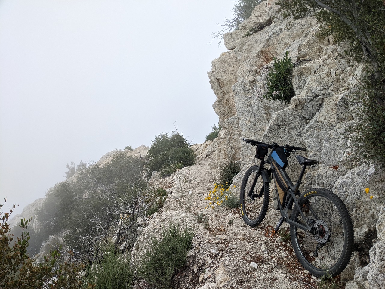
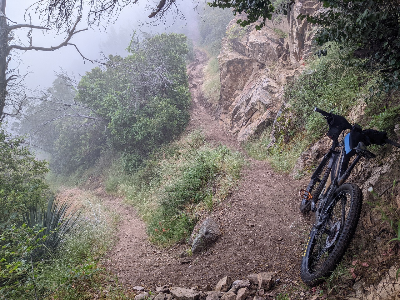
I drove up to Eaton Saddle and picked up the Mt Lowe East Trail (aka Upper Sam Merrill). Quite a few hikers out.
Climbed back up the Mt Lowe Railway a ways to Tom Sloan Trail, the target for today. Don't know anyone who's ridden it and it shows zero activity on TF. But it seems like hikers do use it, so maybe it'll be ok?
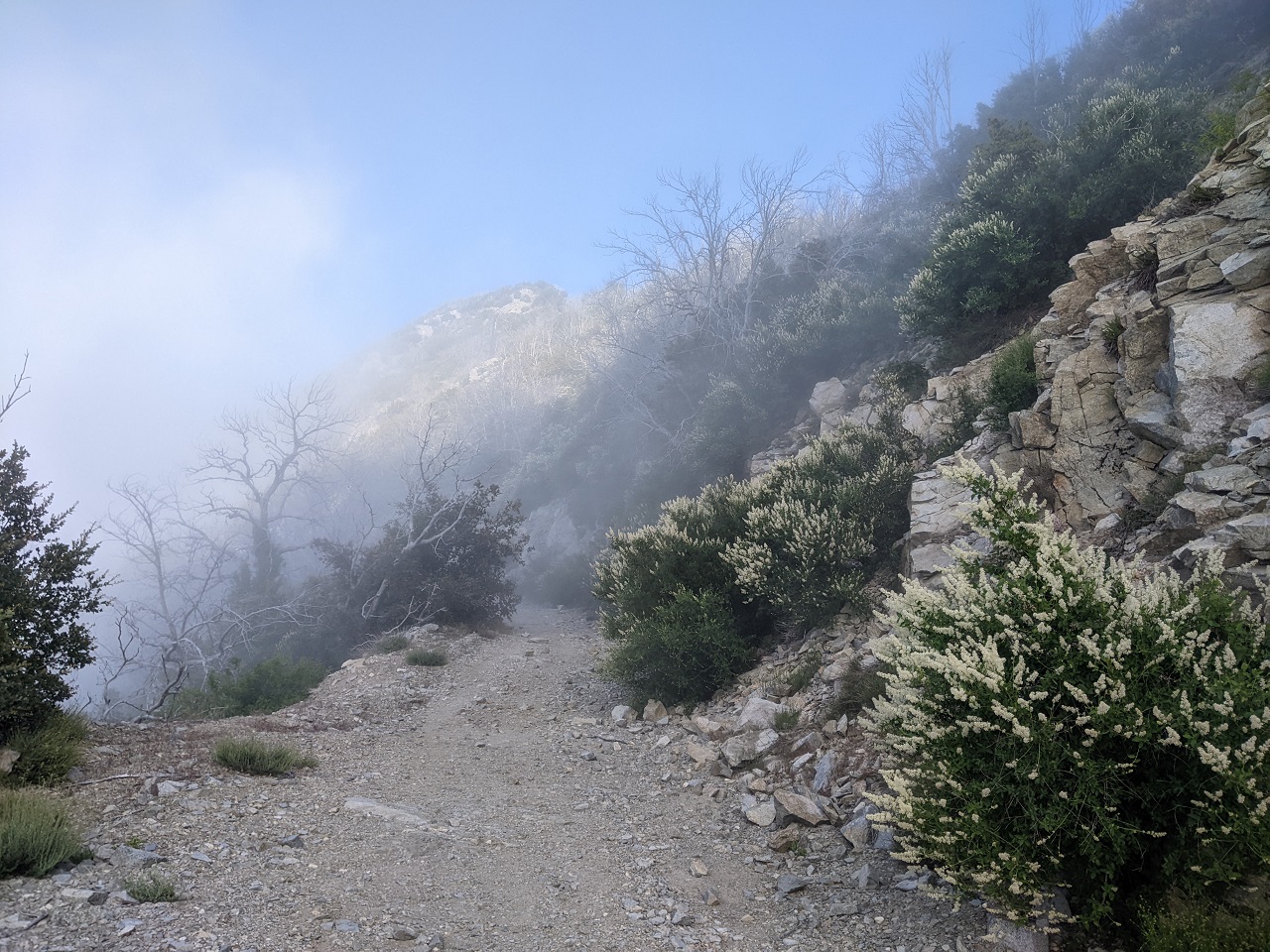
It started off really nice.
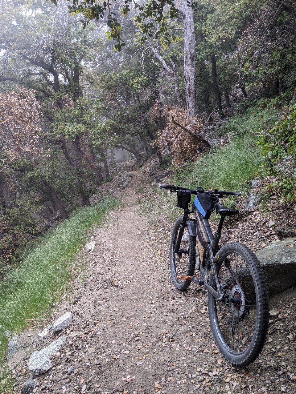
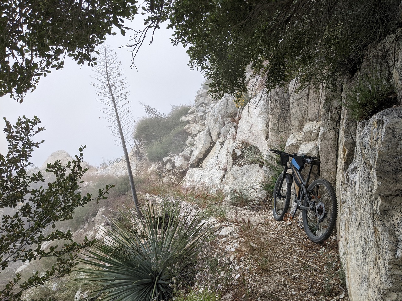
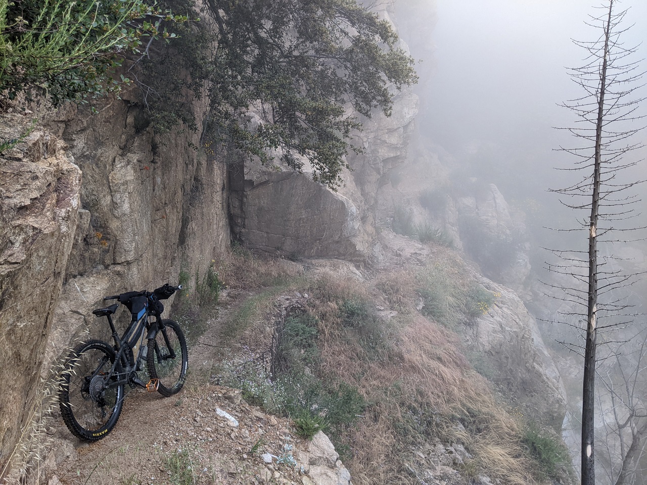
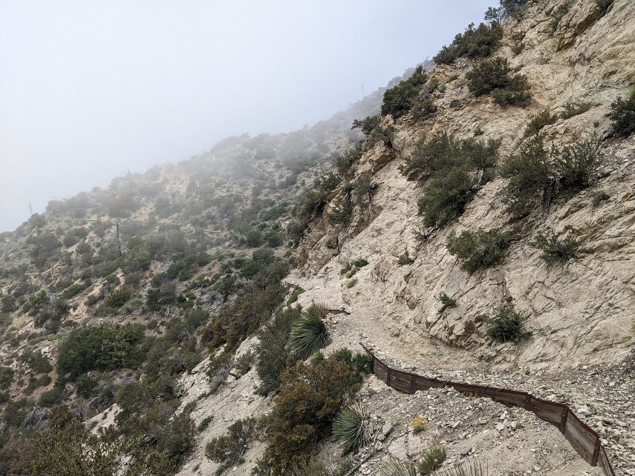
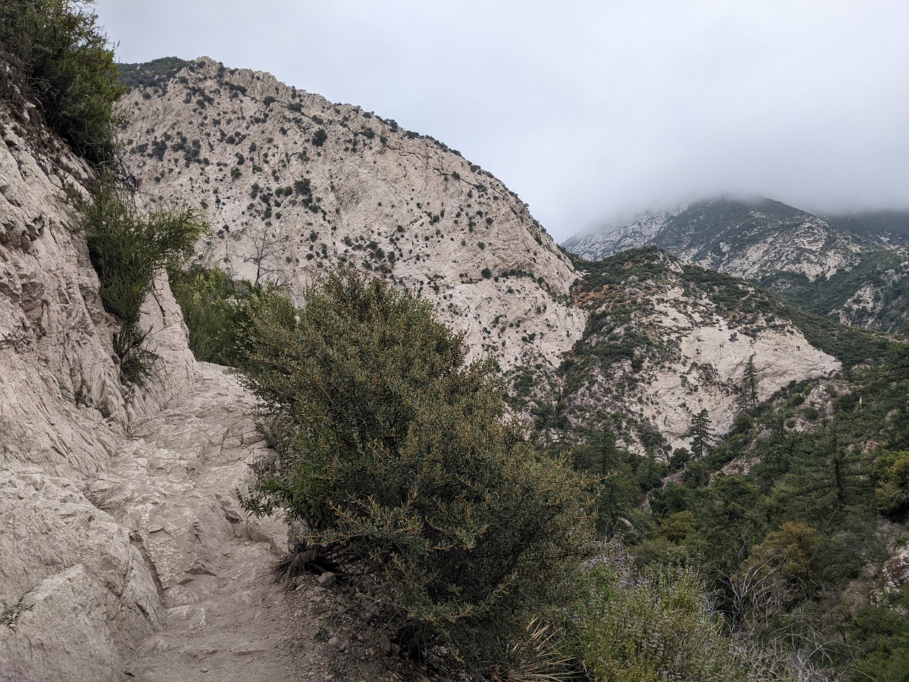
Actually, the whole trail was nice. No steep sections, and good tread. It got narrow in places, especially along sheer cliffs. Try not to fall to the left, eh?
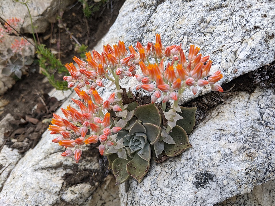
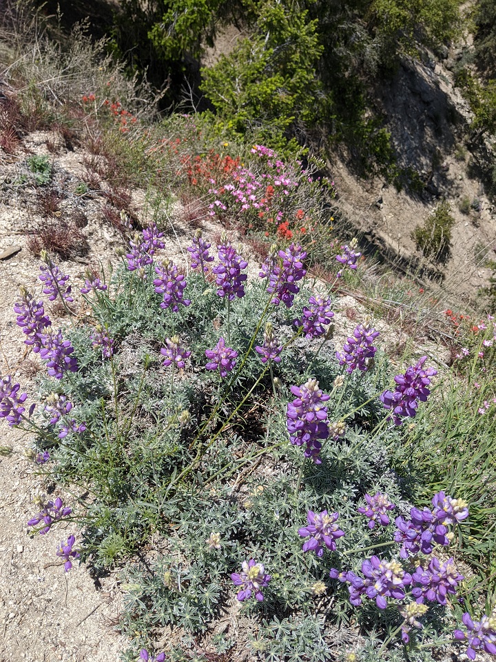
The Dudleya and a few flowers provided the only color in the mist
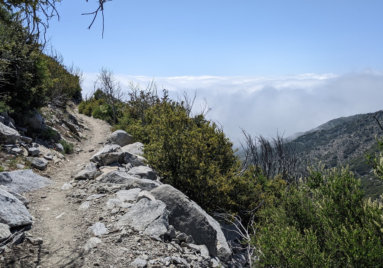
The further I got along the trail, the more raw it became
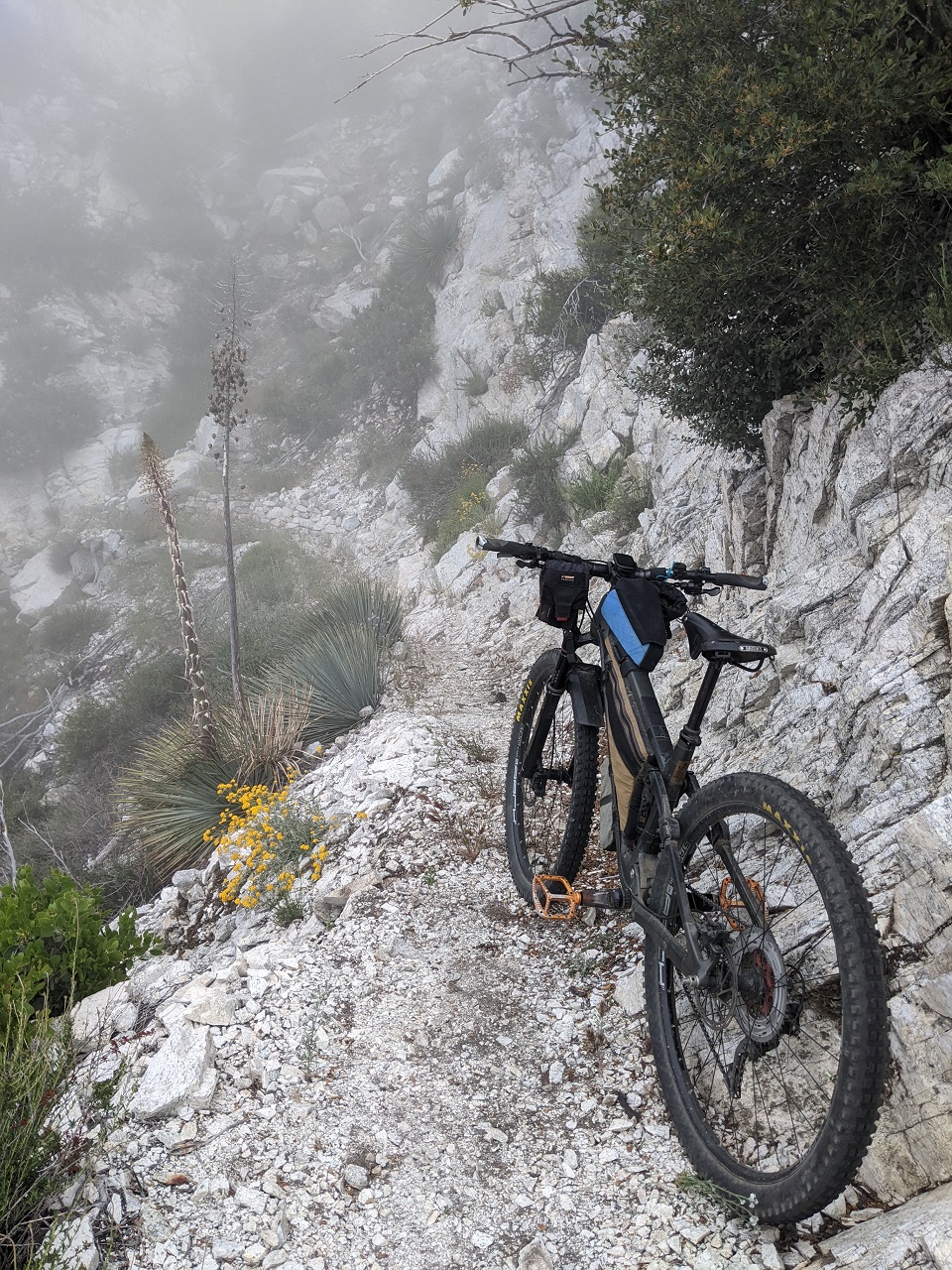
I walked a few spots because tagging the cliff wall with a handlebar could result in a bit of a tumble
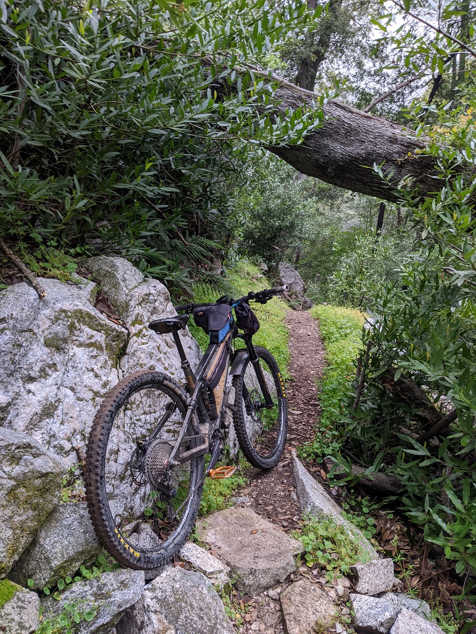
Nicely built stairs
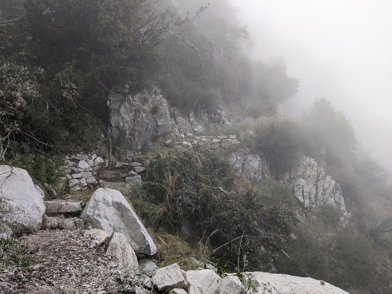
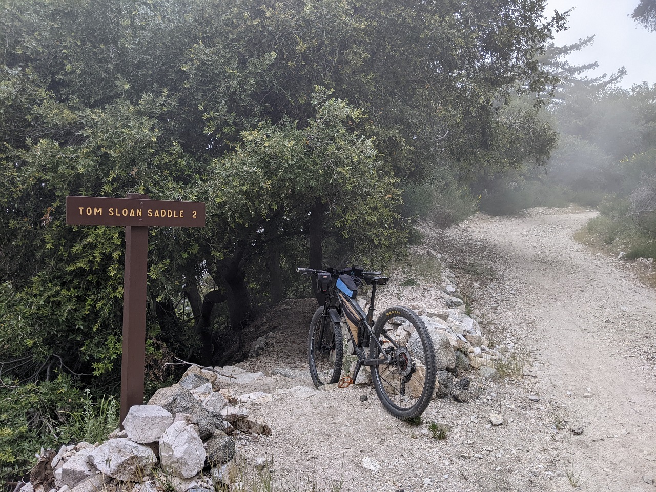
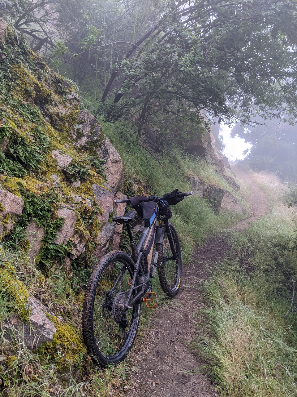
Brush tunnel. Made it to Tom Sloane saddle where there is a 4-way intersection with Bear Canyon Trail. That's another trail of interest so I poked my head down it 100 yards. It was a bit overgrown, but not bad. Regardless I was turning the other way down the Dawn Mine trail today.

Dawn Mine started off with a few switchbacks. It had less exposure than Tom Sloan and a decent bench cut
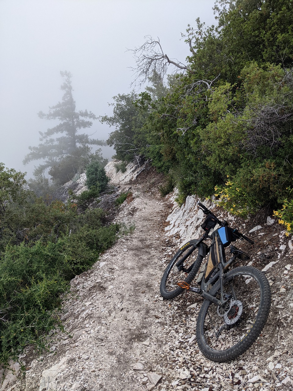
It got a bit overgrown in a few places but never bad. And no poison oak to speak of.
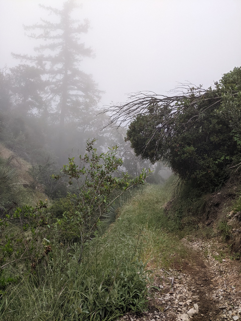
I was liking it. The trail drops around 1,000ft in a mile and a half
It was obviously not built for bikes, with a number of rock staircases and some seasonal stream crossings armored with rock in a way that made them hard to ride over
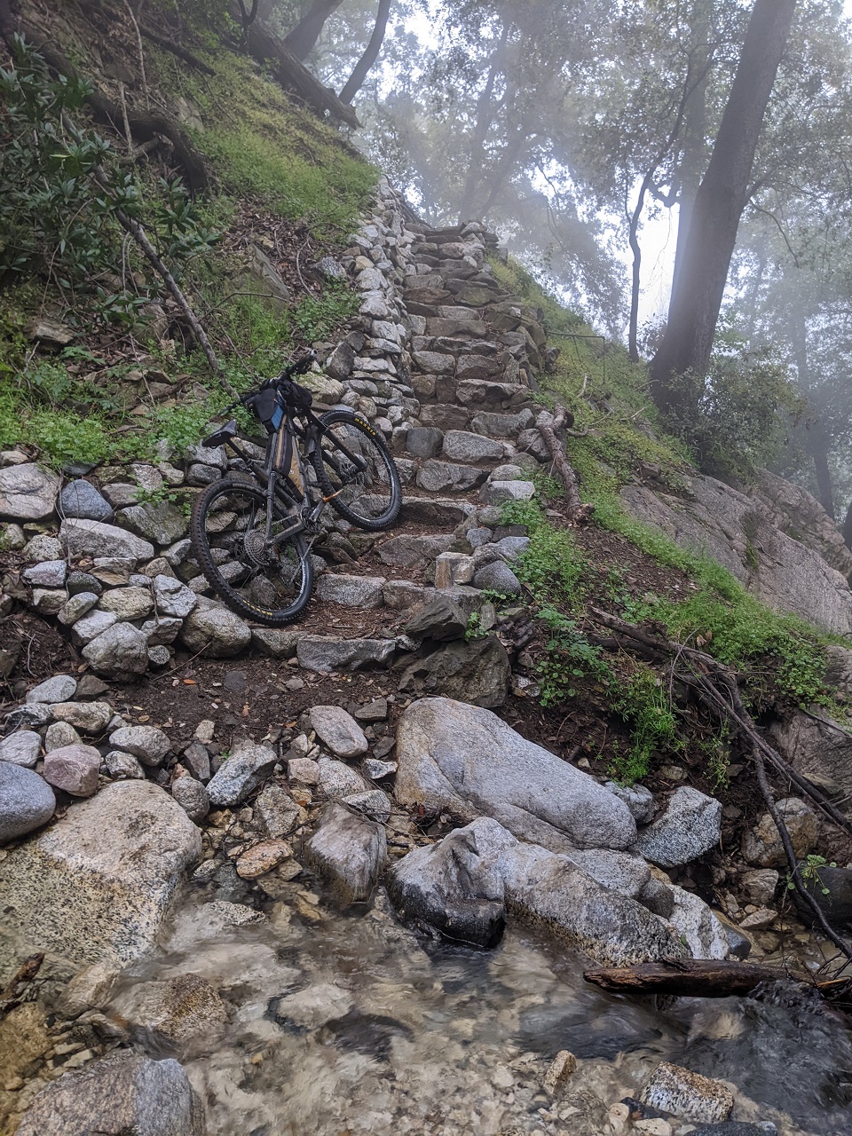
At the bottom of the Dawn Mine trail is....the Dawn Mine. The shaft goes back about 40ft into solid rock.
More rock work as I start the climb out. This side is steeper, with around 500ft gain in just over half mile
The tread was in good shape though, and solid footing made for easy pushing
The exposure was real.
From here to the end just around the corner was about all I rode.
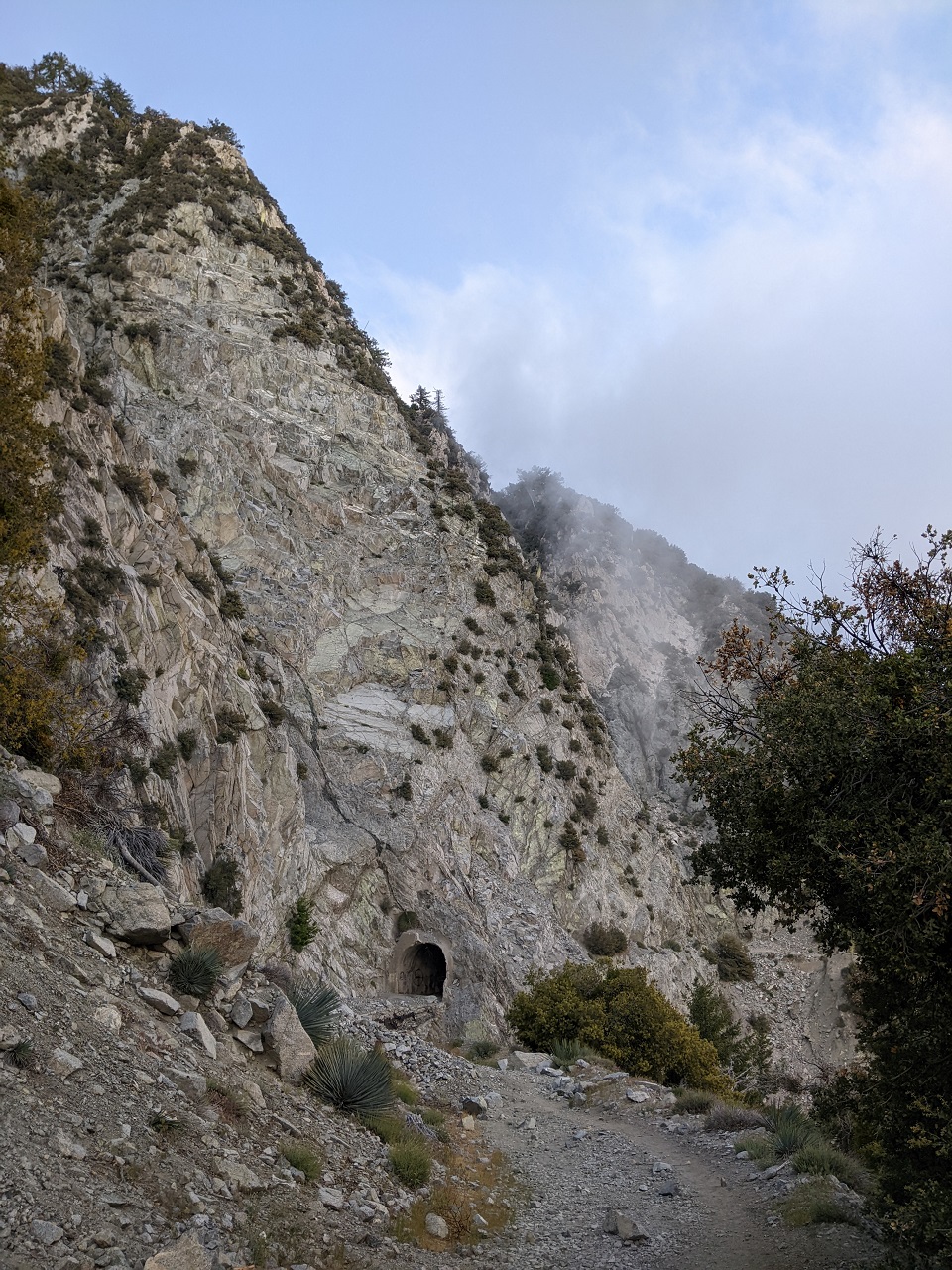
Then it was back up the Mt Lowe Railway
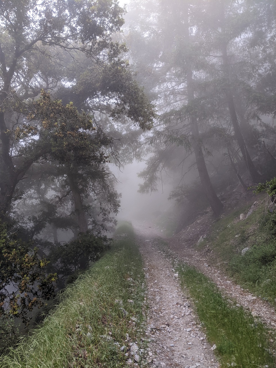
Why is it getting so bright out all of a sudden? : )
Considered bagging San Gabriel Peak just above this, but with the mist I was pretty soaked and getting a bit chilly.
Passed back through the iconic Meuller Tunnel to get back to the truck
The clouds were nipping at my feet the whole way back. Only 12 miles for this ride, but they were high quality miles. I'll do Tom Sloane again for sure. It can be added to any of the regular rides that get up this high on the mountain.
Last edited by evdog; 06-25-2024 at 02:03 PM. Reason: fix links
-
06-13-2023, 01:43 AM #30
Registered User
- Join Date
- May 2012
- Location
- People's Republic of OB
- Posts
- 5,311
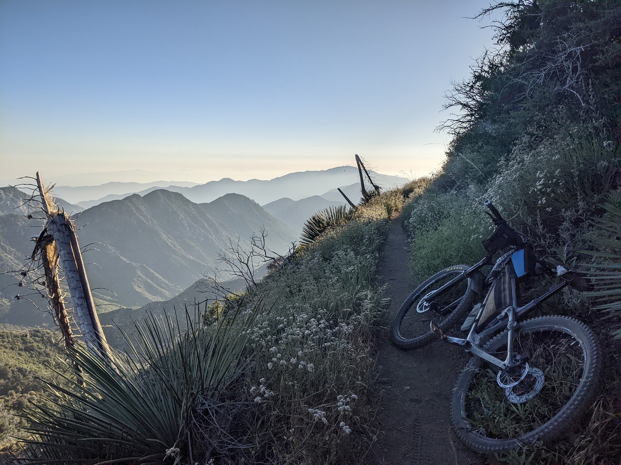
Since I was right there, I wanted to ride Strawberry Peak. Spent some time scanning around TF seeing if there was anything else I wanted to ride. A few options looked interesting that I could add on...maybe traverse over to Mt Lukens and ride Blue Bug. But I kept getting drawn back to Bear Canyon which I crossed over the day before. There was actually one ride log from a year ago, and the report comment only mentioned "river running - low volume". If it sucked, they would have said so, right???
Linking it with Strawberry Peak could be done with a bit of effort that would also let me check out a couple other new-to-me trails. So I made the climb up from Switzers trailhead to Josephine saddle and then made my way up the fire road in the clouds.
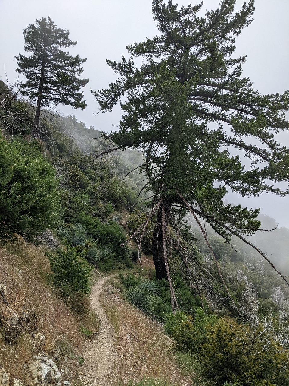
A hiker on the last road switchback said I should break through the cloud at the top. Not looking promising. The initial traverse was a bit worse for wear with some rockfall at the usual spots forcing a carry past those points.
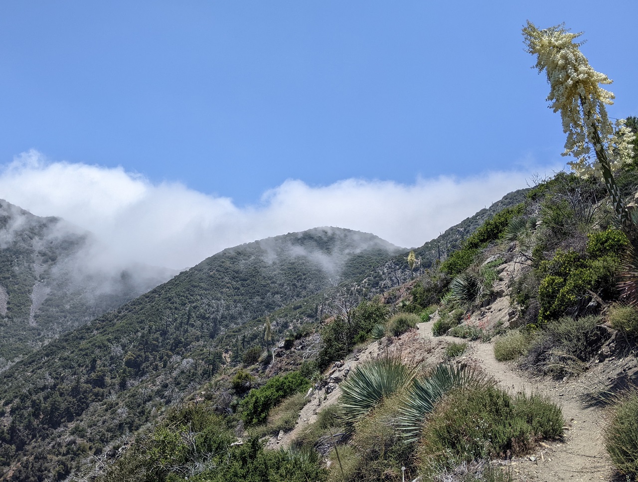
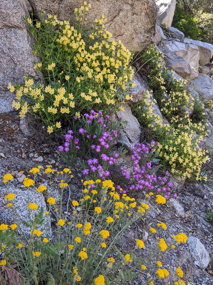
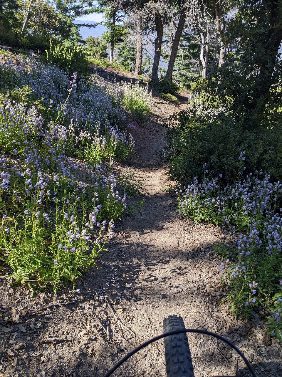
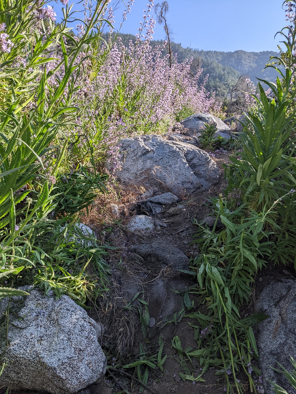
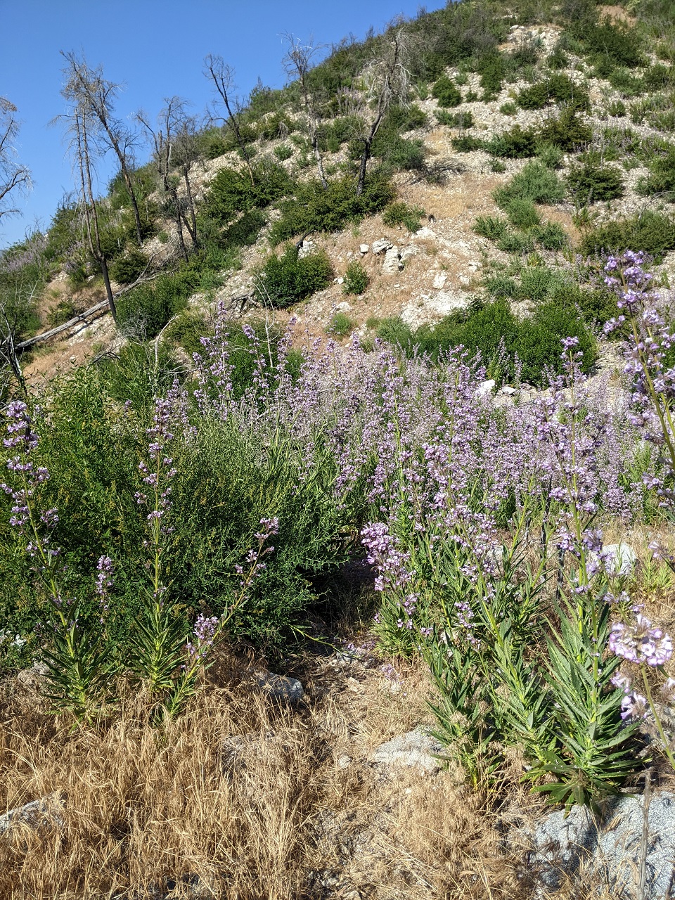
The clouds were stopped by the ridgeline so as I traversed around the backside I broke into sunshine. Flowers emerged as well
One of my favorite spots on the backside
The switchbacks beyond the meadow have been cleaned up some, and I was able to ride more than usual
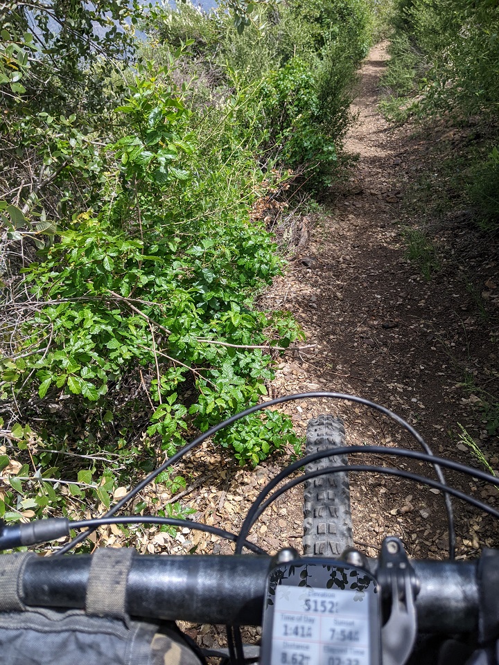
Here's a WTF for you. Poison oak normally doesn't grow above 5,000ft. I'm at 5,152ft. And here it is.
The clouds were waiting for me at the saddle, so I said goodbye to the sun for the rest of the day
I took a quick break down at Redbox trailhead, and then started the climb up Mt Disappointment. Bill Reilly Trail also goes to Mt Disappointment, but it looked like a straight up staircase at the bottom so I gave it a pass. I regretted that later as it looked pretty nice higher up. Oh well. I stuck to the road. San Gabriel Peak which I'd skipped the day before was right there, but it was in the thick soup so there would be no views. And probably very limited riding. So I skipped it again and headed down the San Gabriel Peak trail to Markham saddle. Aside from a few tight, rubbly switchbacks I couldn't get and some short pushes, it was a fun descent.
A quick run down the Mt Lowe Railway brought me to Bear Canyon.
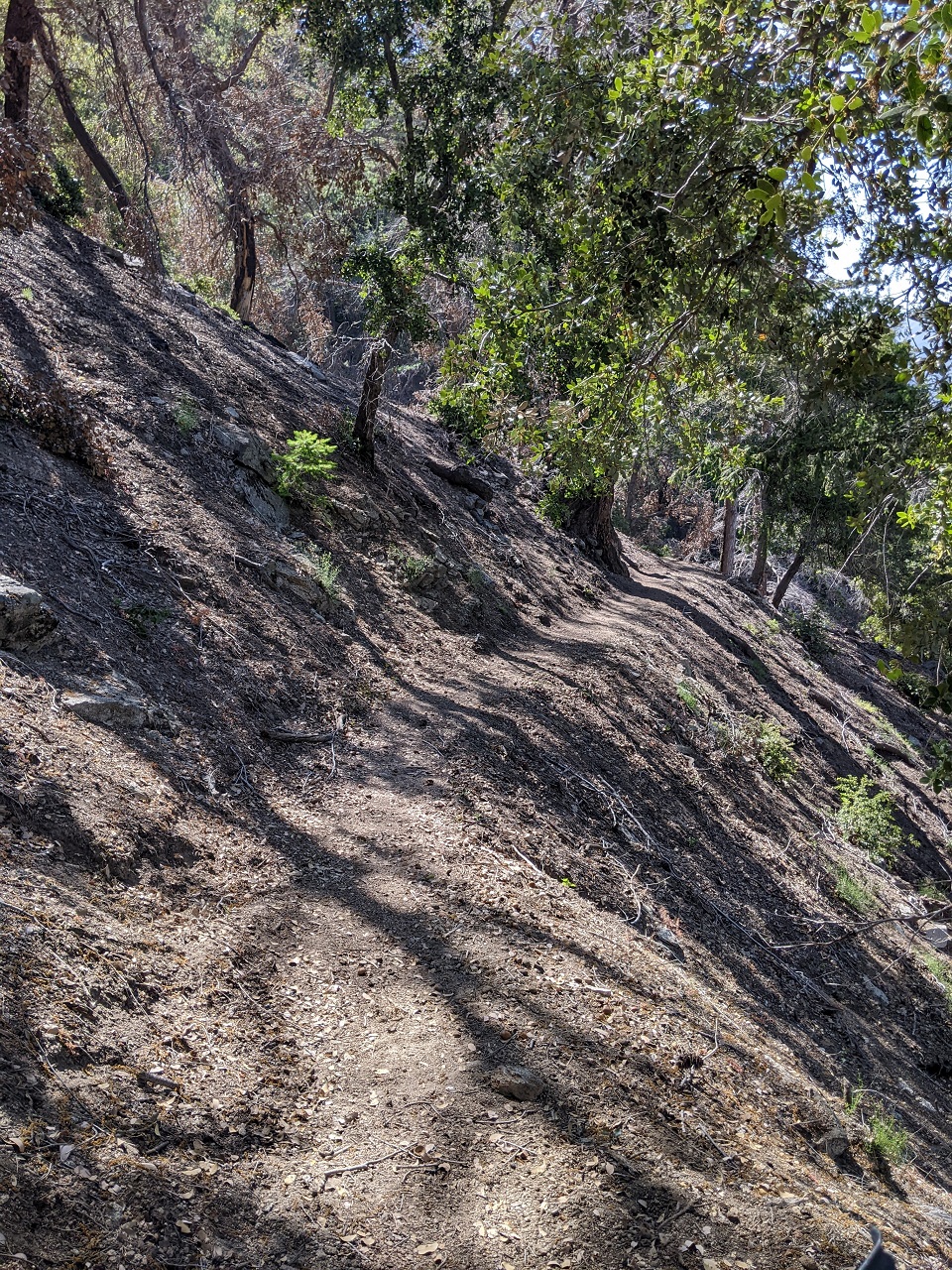
The upper part was similar feel to most San Gabriels trails. Steep, narrow, exposed, a bit overgrown. It stayed up on the ridgeline for awhile before dropping down in a series of switchbacks.

No issues down to Tom Sloan saddle. I continued on, and the trail was rideable and fun with a few switchbacks and technical spots to keep things interesting
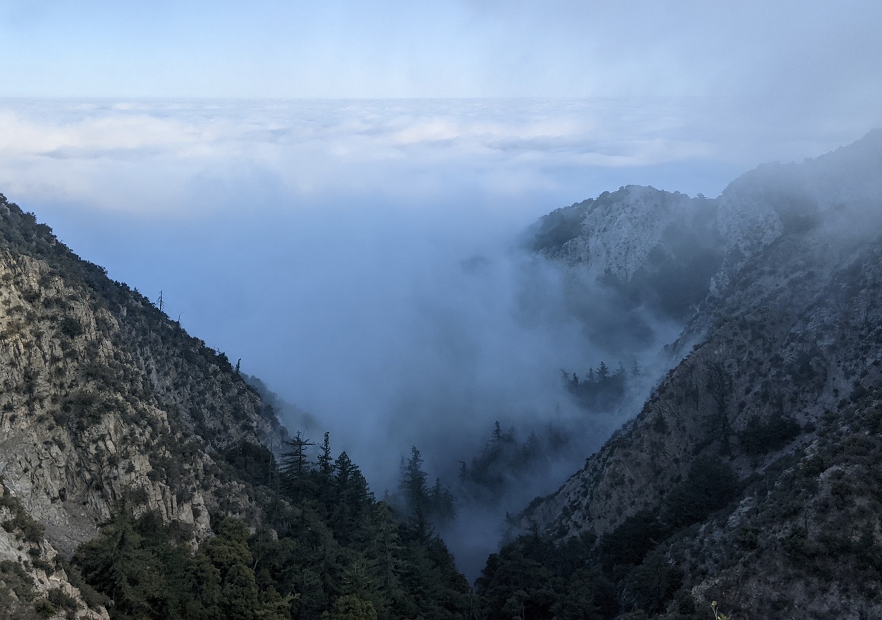
Despite the cloud there were still some views over Millard Canyon
But soon enough I dropped down into thicker brush and what I thought was Bear camp. Turns out it wasn't. Not sure what this little building was. There was no obvious mine that I could see.
That is where the trail got interesting as it dropped into the canyon bottom and alternated between following the stream, crossing the stream, and traversing from one side of the canyon to the other.
Oh, and the waterfalls.
There were lots of them
Then came the poison oak. First just some short patches like this. Later there were several PO tunnels that ran 50-100 feet.
My trick is to grab a stick and whack the PO stems that reach over the trail. The stems are weak and easily broken. Discard stick when done and keep track of where any flying debris contacted you
I was overtaken by a couple backpackers while I bashed through one of those PO tunnels. They were headed to Bear camp. It seemed to have space for 3-4 groups and there was already one group there.
Beyond Bear, the number of stream crossings ramped up. It had been a while since I'd pedaled a single stroke, and there was definitely no pedaling through here. The trail goes straight down the log here and then crosses to the far side
Finally I started finding rideable sections. They might have only been 100ft to the next obstruction, but they were sweet
One last PO tunnel. I consider myself fortunate to come away from this ride unscathed.
Oops. That sign would have been useful at the top of the trail : )
Another rideable 100ft
And more waterfalls.
All the hikers go to Switzer falls which is nearby. Bear doesn't get much publicity (and falls not very tall) so it doesn't see much traffic. If it had been sunny out I would have been in for a swim in one of these holes for sure.
And before long I was on the Gabrielino doing the final climb out. The usually busy trail was deserted by early evening and I didn't see a single person until I got back to the trailhead.
Verdict on Bear Canyon: I liked it. Cool trail to hike. But probably best to leave the bike at home.Last edited by evdog; 06-25-2024 at 02:06 PM. Reason: fix links
-
07-02-2023, 12:48 AM #31
Registered User
- Join Date
- May 2012
- Location
- People's Republic of OB
- Posts
- 5,311
Headed back up north last weekend for some more Orogenesis festivities.
I was hoping to get underway right after morning rush hour, but ended up leaving just in time to hit the start of LA afternoon rush hour. Traffic killed a shot at one of the rides I wanted to do, so I opted to hit up another long time bucket list ride called Blue Bug near San Fernando.
The climb was up Haines Canyon, a fire road that is going back to singletrack. It had been blocked by a landslide that riders had recently come in to dig a trail across. Nice work!
Wasn't sure I'd make it all the way to the top of Mt Lukens, thats a 2800ft climb and I only had 2.5 hrs til dark. But the climb went fast and I made it to the top 20min before sunset.
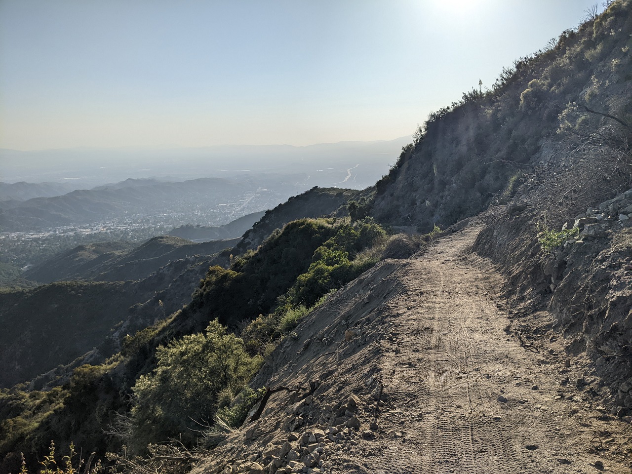
A bit of rockfall higher up. This road isn't passable to vehicles right now.
Golden hour flowers
Blue Bug splits off Haines Canyon and is named for, well, a blue bug that has long lived near the top of the trail.
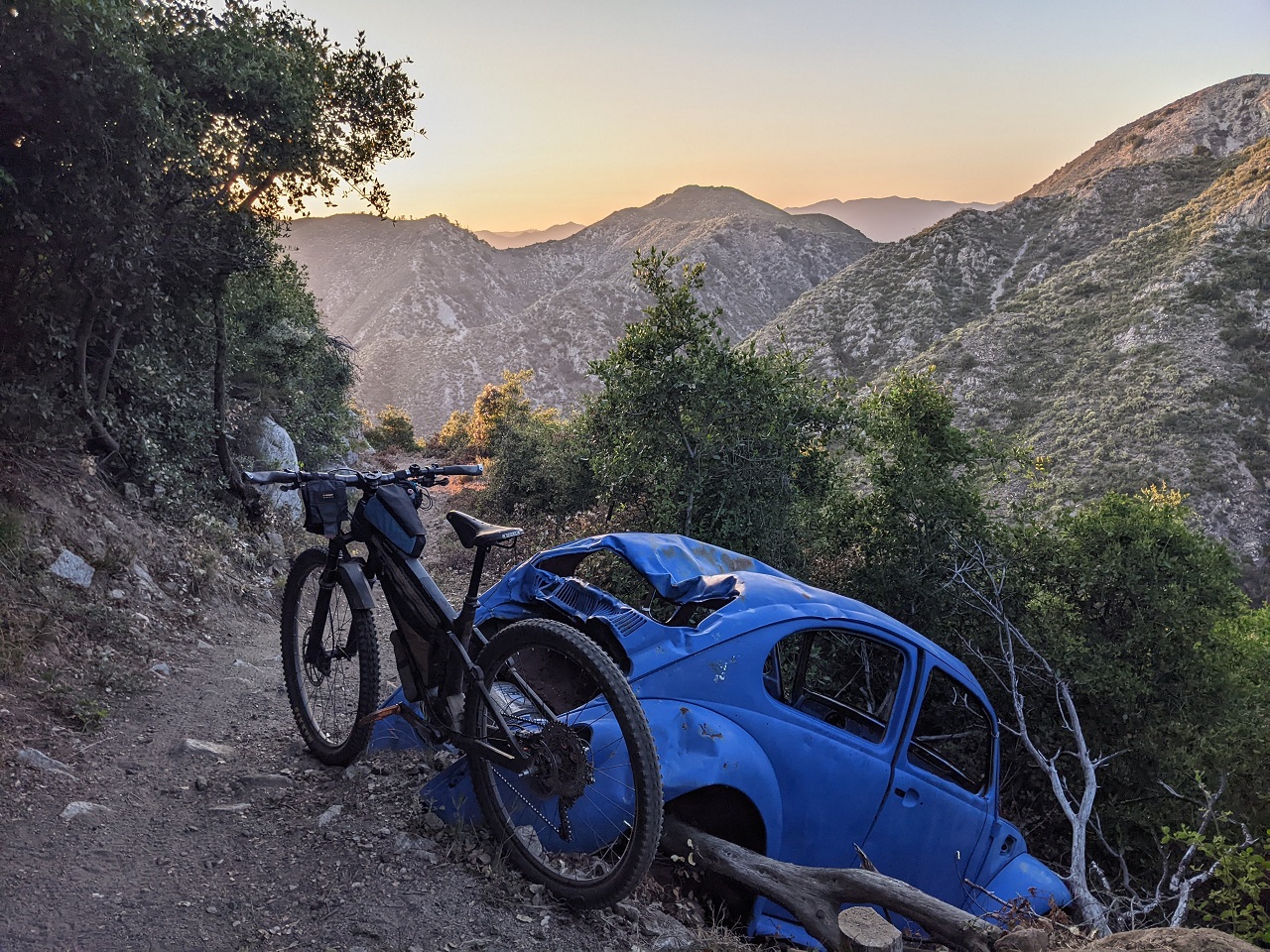
Aaaand...Just what the trail needed - a booter over the bug.
This has always been known as a cool, natural backcountry trail. Apparently the locals who maintain a jump trail lower on the mountain just recently completed an "endurofication" of Blue bug with jumps, berms and replacing tight switchbacks with big, round bermed corners. A bummer as this will just attract the ebike crowd for party laps. They better be careful though, the exposure is still there if they get going too hot...
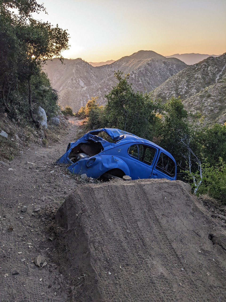
Example of the bermage. Looks like you can rail the turn, but it ends a lot tighter than it looks and would be easy to get launched down a steep slope.
Still a fun ride. These mountains will quickly reclaim the trails original character if not maintained.
Last edited by evdog; 06-25-2024 at 02:08 PM. Reason: fix links
-
07-02-2023, 02:18 PM #32
Registered User
- Join Date
- May 2012
- Location
- People's Republic of OB
- Posts
- 5,311
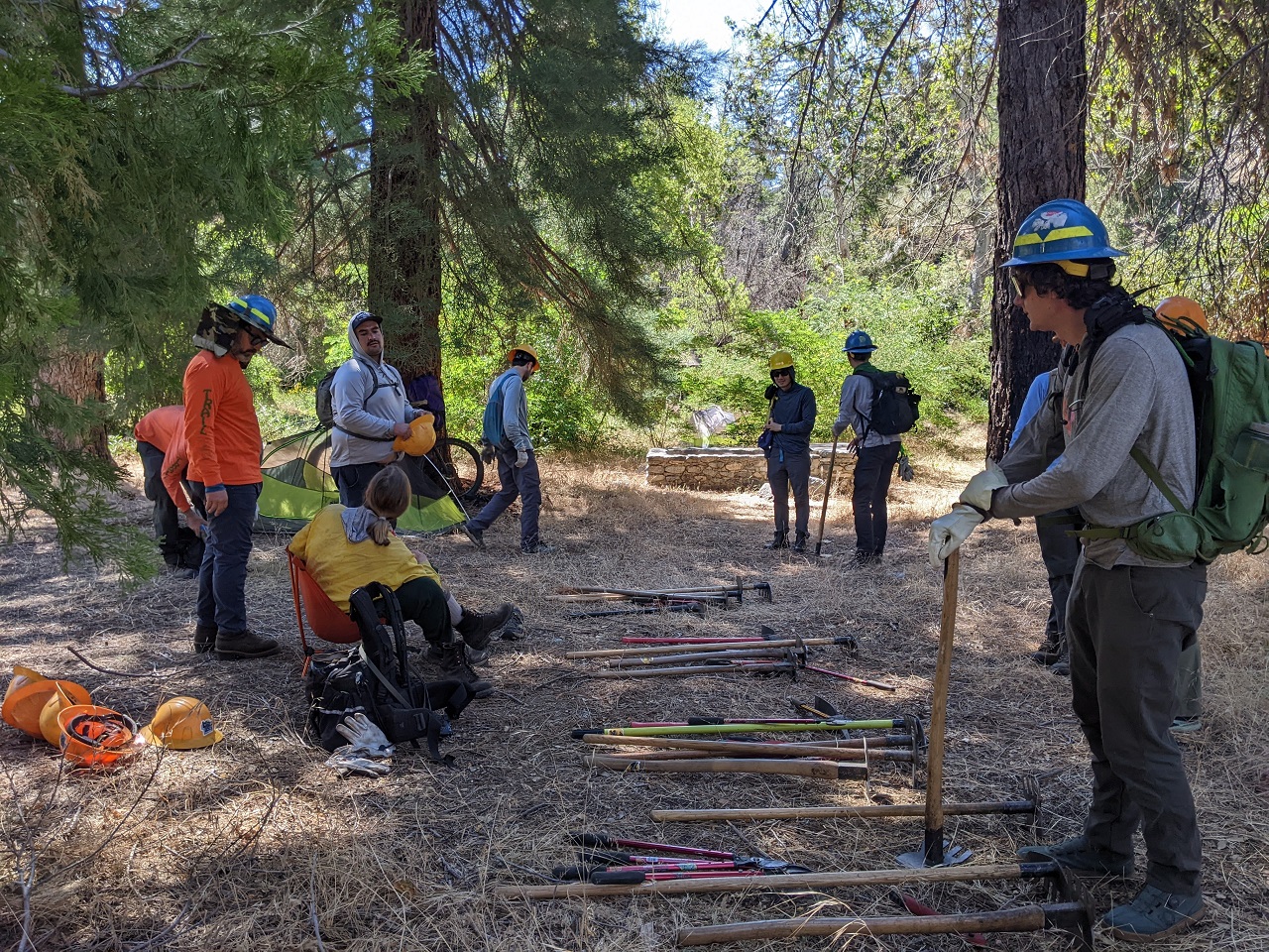
The ride we did back in early May (post #21) got the Lowelifes interested in punching through a connection from Mt Gleason down to Acton. I didn't even have to ask, they just said "we'd be down to help with that" and threw out some dates to get started.
Schedules aligned last weekend and we made plans to put in a couple days work before it gets too hot. They got approval from the Forest Service so we were good to go with vehicle access past the locked gate as well.
Here's a map for some context. The goal is to connect the Acton Trail at the top of the map to the summit of Mt Gleason and then continue south off the left corner of the map along Mendenhall Ridge to the Condor Peak Trail.

The ride back in May followed the old jeep road (light blue), up the PCT, along the ridge top (yellow) and down the fire break (red). Then we dropped the Acton Trail 2200ft down to Acton.
The only other way to connect Mt Gleason Rd to the Acton Trail saddle is the old mining road in light green on the right. It's steep but will require the least work to make passable, so that's the route we will clear to make a temporary connection.
Other old roads and trails on the mountain in blue, black, green, light blue disappear into old fire scars or fire breaks and do not connect to anything.
Eventually we will propose new singletrack since the mining road is steep. But for now we just want a connection through to allow easier access to ride and maintain the Acton Trail.
Not only will this be the route for Orogenesis, it will also provide a mostly singletrack route crossing the San Gabriel range from Action to Pasadena as well as more local loop options for riders.
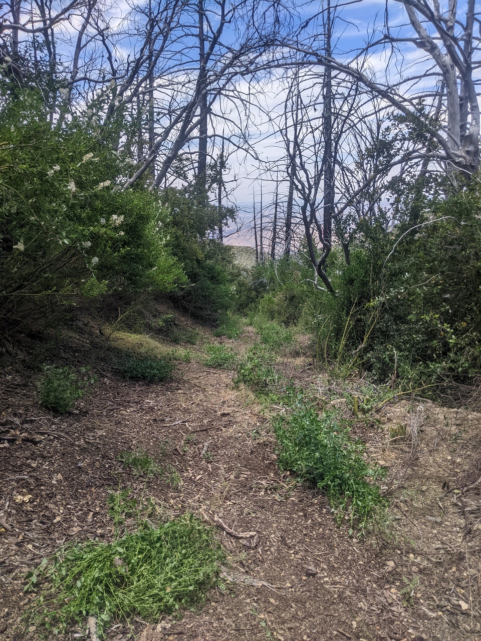
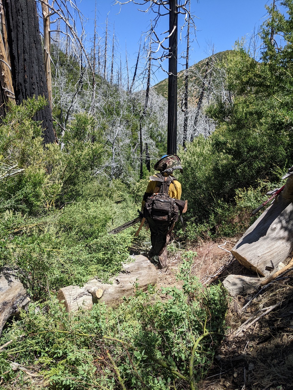
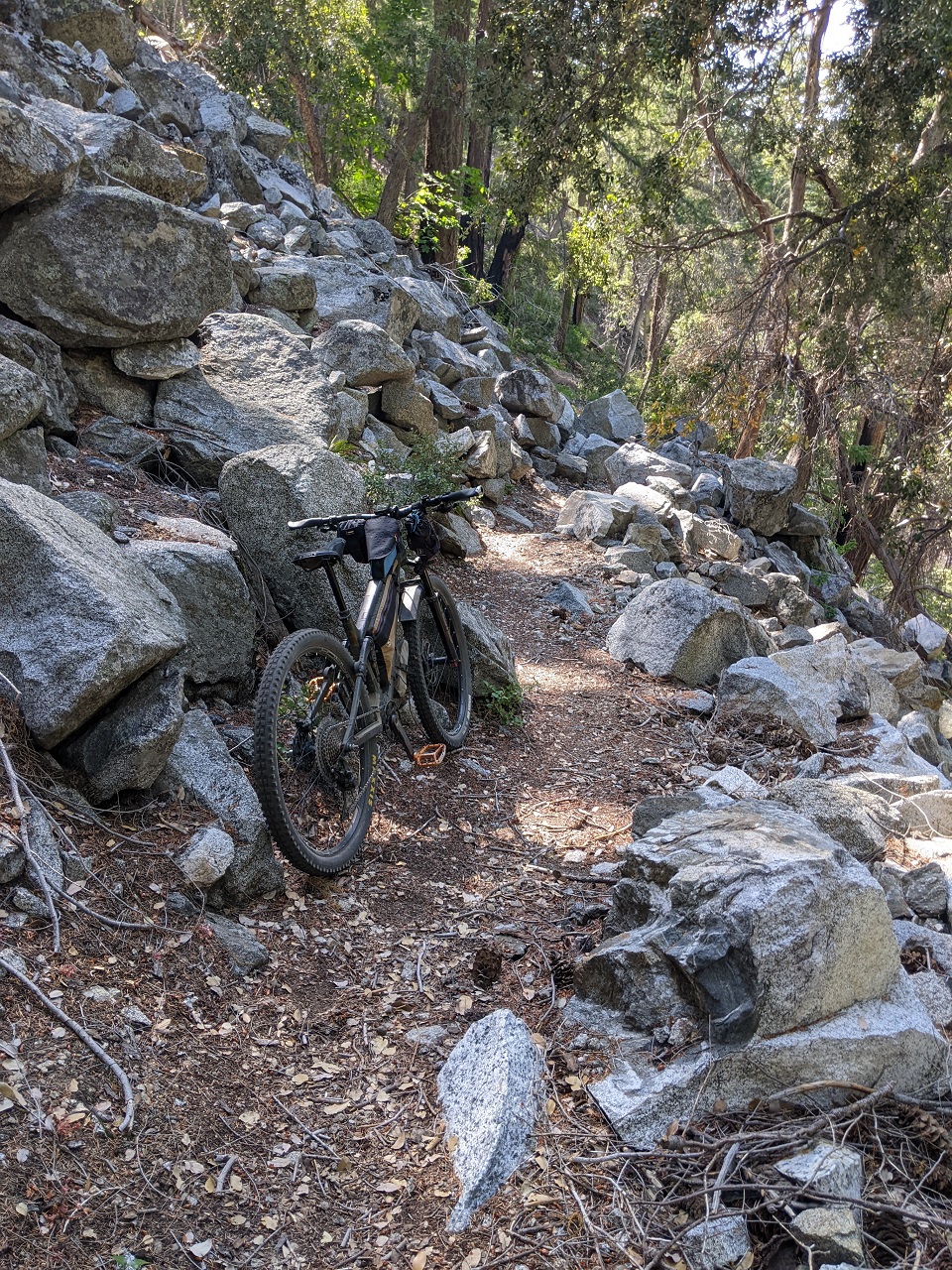
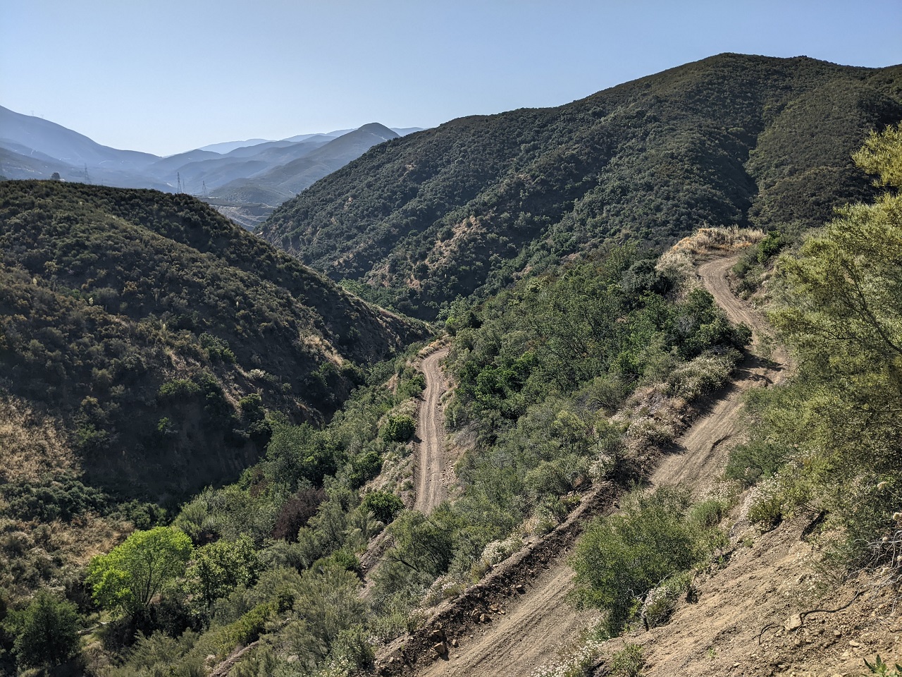
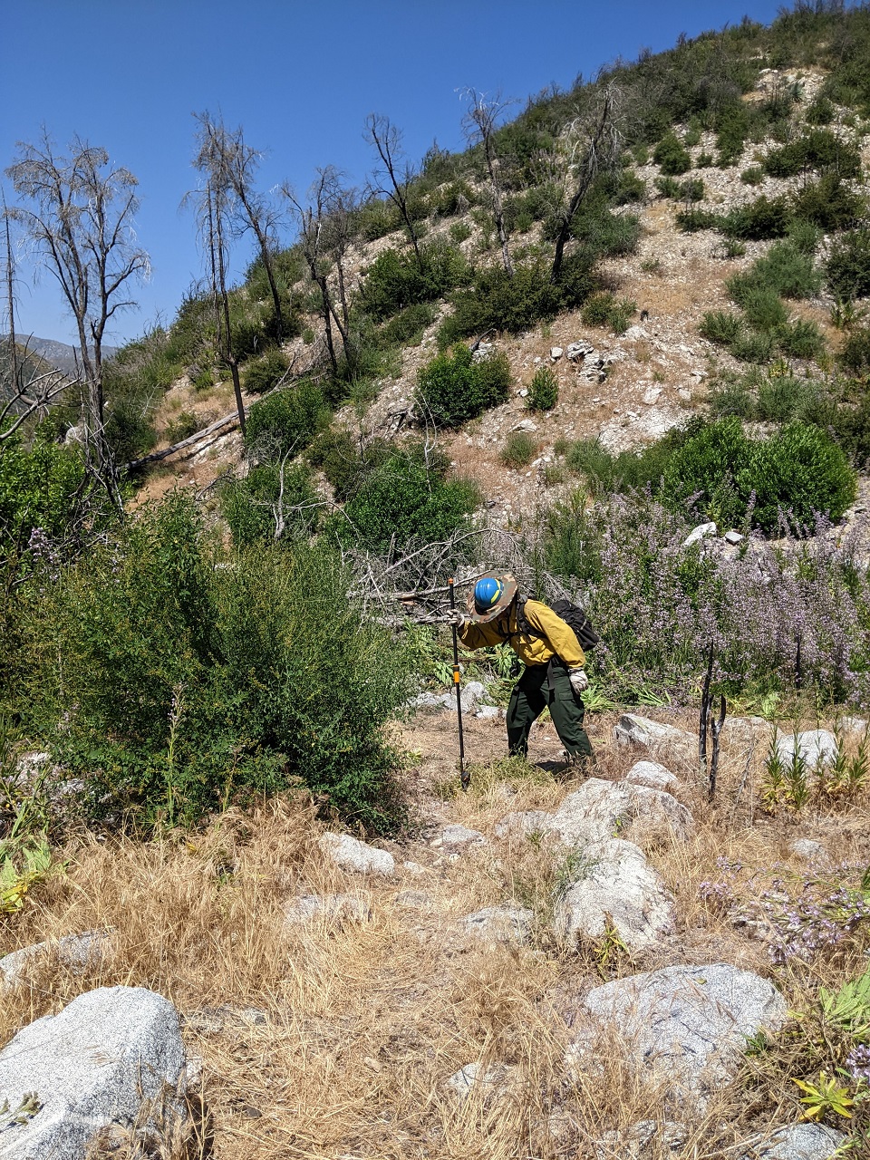
Start of the mining road. It looked like someone has already done some brushing since my scouting hike last year. Each patch of green hides a stump of cut brush that is now growing back. We just widened the corridor through here since brush on the sides tends to lean in over the tread.
Not all of the mining road is overgrown. No work needed through here. It is steep though, so it will be work for anyone pushing a bike uphill.
Lower down there were a couple hundred yards of thick brush with downed trees. We got into that the first day and spent our time there the second day as well. We had a couple saws going and a couple of us swamping.
There were lots of stumps to remove as well. Some are off the main path but the brush grows back fast if you don't cut the stumps out.
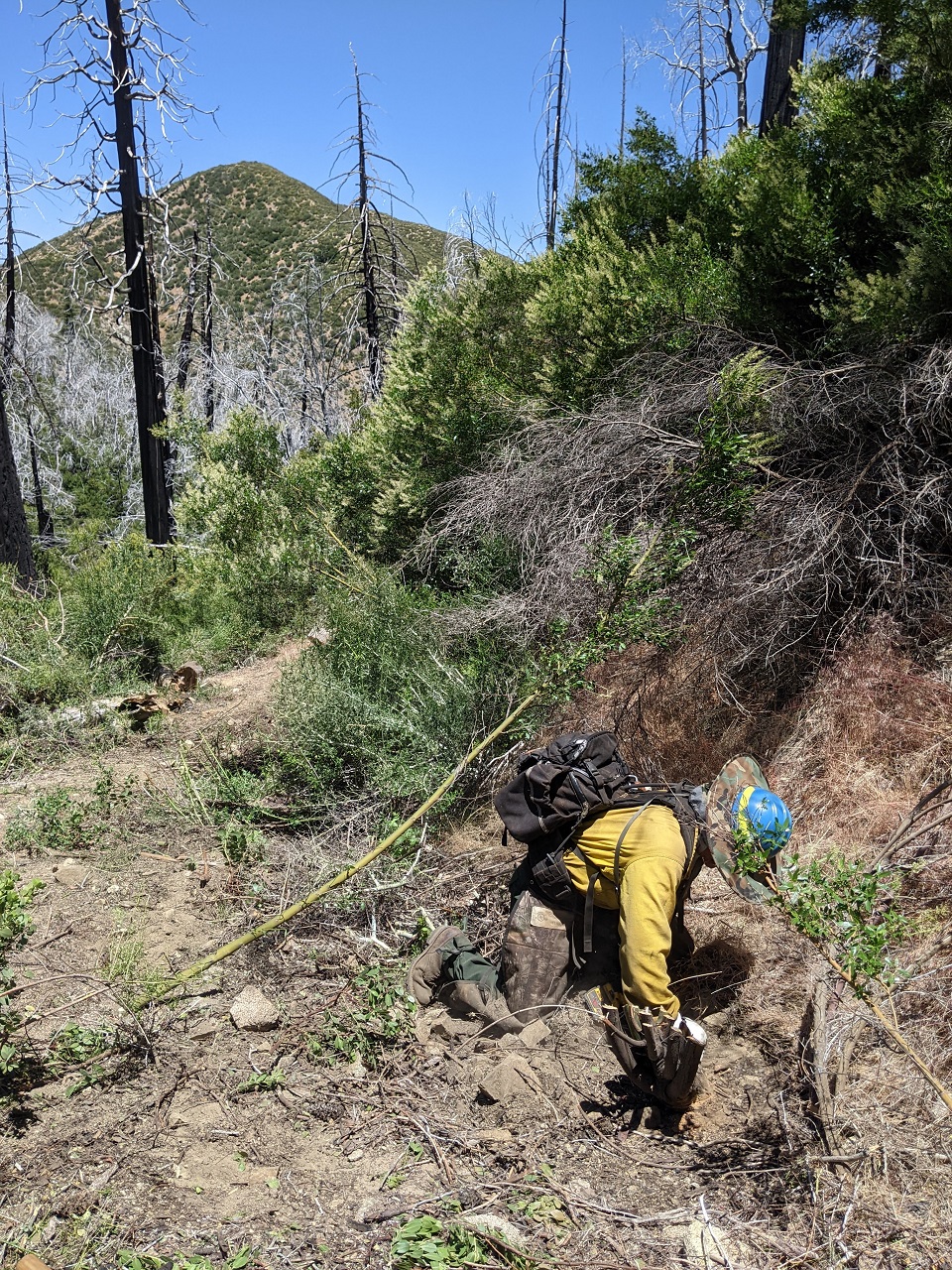
Post cut, pre swamping
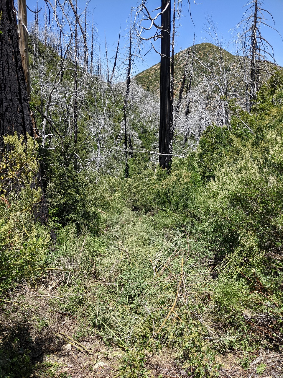
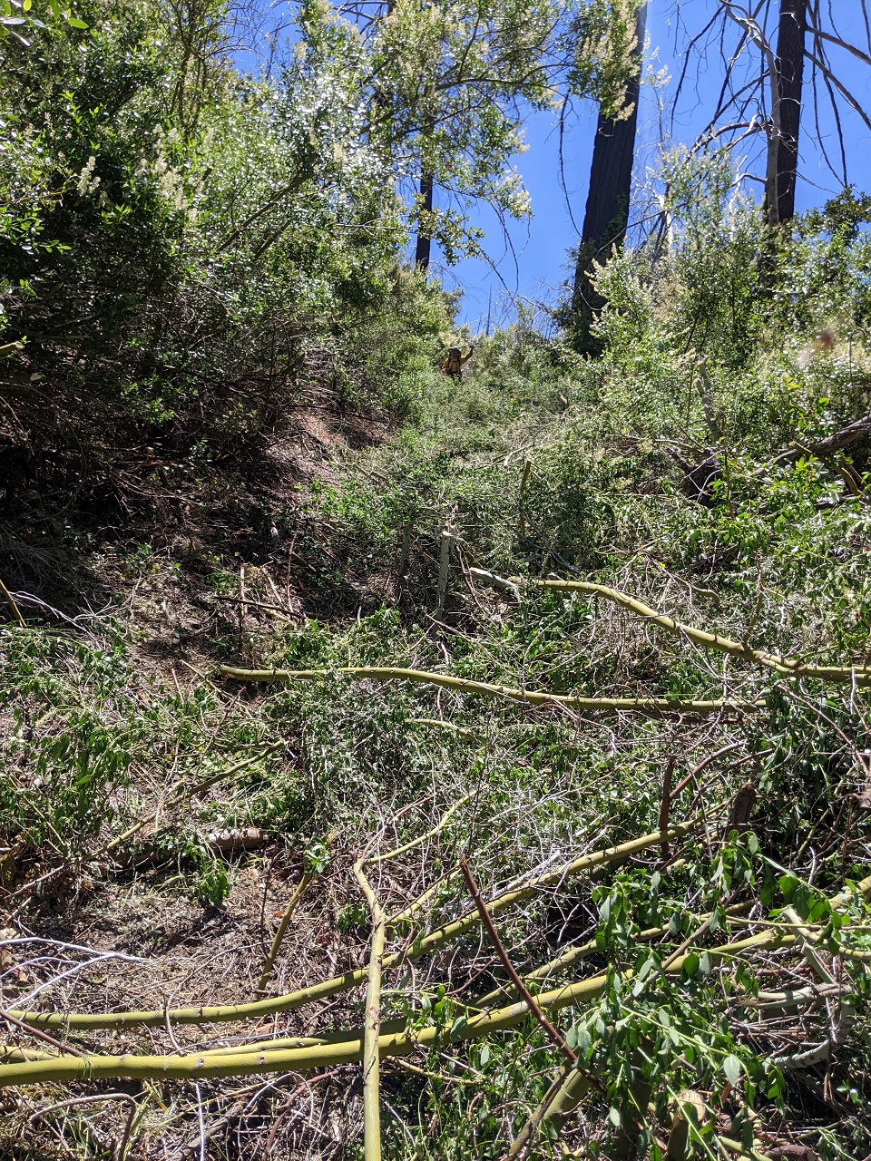
More carnage above. We made it almost down to the stream crossing which is about half way. Not bad for 4 people in two days. This project was set up on pretty short notice, next time we'll be able to get a bigger crew out and finish it off.
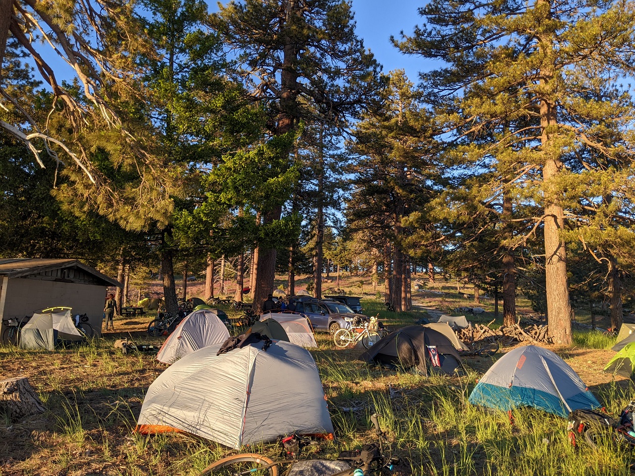
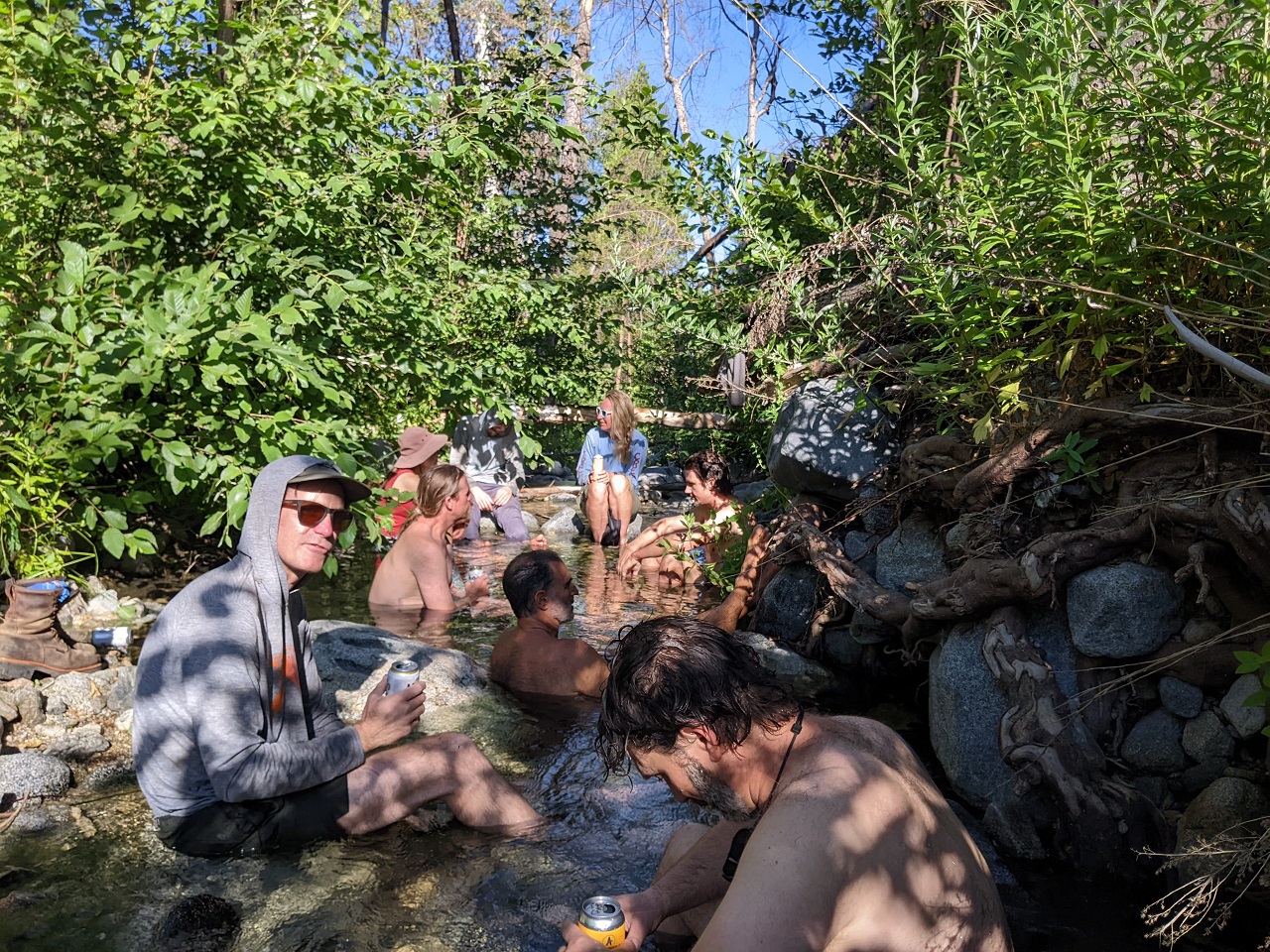
Saturday night we crashed a bikepacking campout going on nearby put on by a local bike shop who are friends of the Lowelifes.
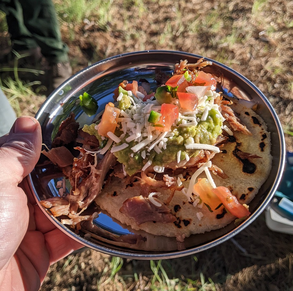
Carson and Matt - saw team and hand pressed taco team
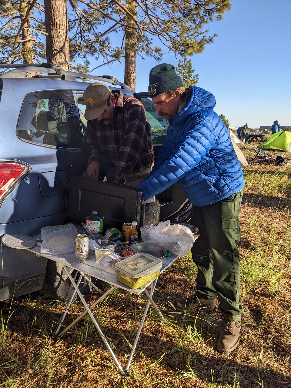
We definitely ate better than the bikepack crew
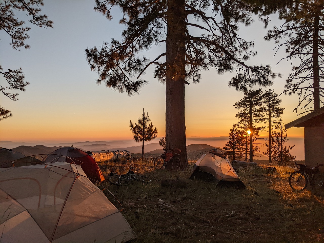
Sunset up on Lightning Point. It was chilly with the wind so no one was up once the light faded away.
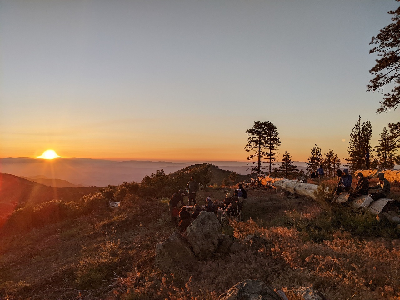
Last edited by evdog; 06-25-2024 at 02:09 PM. Reason: fix links
-
07-03-2023, 12:58 AM #33
Registered User
- Join Date
- May 2012
- Location
- People's Republic of OB
- Posts
- 5,311
We finished trailwork early afternoon. I headed up the hill and found a shady spot to have a nap. A couple hours before sunset I pulled out the bike to do a ride up Strawberry Peak
By the time I got going I decided not to do the full loop which would have been half in the dark, so I climbed up to the ridgeline and rode a ways around the backside. Turned around before the trail drops down steeply.
Just barely missed sunset climbing back over but still got a nice show
Love this place at dusk...
If you want to see a shit show, spend some time up here on the weekend with every wannabe racer on two or four wheels with an unnecessarily loud exhaust trying to win the Angeles Crest 500. But with regular traffic and a pack of gravel riders trying to descend pavement mixed in. There's obviously no time to wait for a safe place to pass....
Last edited by evdog; 06-25-2024 at 02:10 PM. Reason: fix links
-
07-04-2023, 02:41 AM #34
Registered User
- Join Date
- May 2012
- Location
- People's Republic of OB
- Posts
- 5,311
I'd been jonesing for a big ride in the mountains and had a bunch of possible routes floating around in my head. Matt suggested one he thought would be good based on what Lowelifes have worked on within the prior Bobcat fire closure that should be good. It was pretty close to what I'd been thinking of for one option, so I decided to go for it.
Starting from Redbox trailhead, I climbed (pushed, mostly) up a hiker trail to Mt Disappointment. I'd done the pavement climb to same spot last trip and wasn't really interested in doing that again.
Dropping down off the saddle between Disappointment and San Gabriel Peak.
I hit up Upper Sam Merrill next
Snack stop at Inspiration Pt. This is the main hiker destination on the mountain for those coming up from the bottom. No one in sight today.
I backtracked 1/4 mile and started down Idlehour Trail.
The poison oak was definitely worse this time around. Had to slam on the brakes here to avoid a face shot
I had another 1,000ft to drop and then I'd be climbing right back up to the towers shown here on top of Mt Wilson
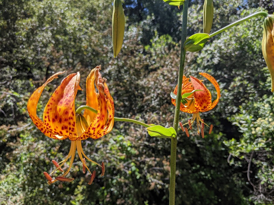
Nice tiger lillies
Streams had dropped a bit but still flowing well
Nice waterfall just off trail 'd missed last time.
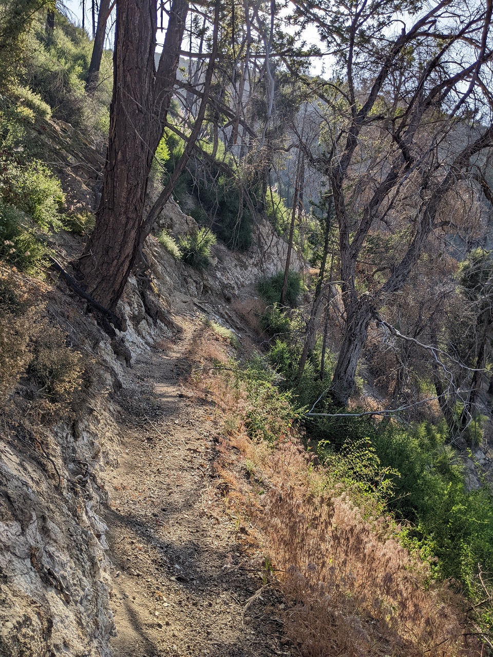
Made pretty good time on Idlehour. It was getting warm on the climb out, but not terrible. And there was a cool breeze in spots. Finally made it to Mt Wilson Toll Road. Above the Idlehour intersection it was a lot more primitive than it is below to Henninger Flat
Looking back at Idlehour. You can just make out a few switchbacks on the ridge in the center of the pic
Flowers higher up
I had gotten behind on hydration so I spent an hour sitting at the Cosmic Cafe on top of Mt Wilson drinking water and eating snacks. The cafe was closed but was able to get plenty of water from the spigot.
Had considered bailing down the paved road to the truck as I was experiencing random cramps, but the water break had me feeling good and all that was left was a 2k descent and 1200ft climb out.
Pedaled over and picked up the start of Kenyon Devore trail.
This was another trail originally in the Bobcat closure that the Lowelifes had restored. About 2k descent in 3 miles.
It was running great aside from a couple big boulders I assume are still to be removed from the tread.
Getting near the bottom. Character of the trail would change dramatically on the other side of this stream, with tons of brush.
Looking down, you can see the Gabrielino Trail that I'll be turning on to. It's not far away, maybe 2/10 mile.
Unfortunately the poodle dog bush had grown in thick that last stretch.

I had to cut my way through it, using a stick to bash the PDB stems to break them and then flip them out of the way. Took longer to clear ~150 yards than it had to ride the trail down to here.
Turned onto the Gabrielino and things improved. This section was worked on a year ago but deteriorated with the storms this winter and subsequent brush explosion. There was more poison oak, poodle dog and erosion damage. Needless to say I was not moving fast.
Finally got to Valley Forge campground where I could access the road. The Gabrielino above this has not been worked on and is a mess. So I bailed to the fire road. The Forest Service had just recently repaired it all the way to Hwy 39 including the landslide here which is now passable to vehicles.
A couple miles later I was back at the truck. Great ride, about 24mi and 6,200ft gain. Can't wait for more of Gabrielino and Bobcat fire closure to open.Last edited by evdog; 06-25-2024 at 02:11 PM.
-
07-04-2023, 09:20 AM #35
 Registered User
- Join Date
- Oct 2003
- Location
- slc
- Posts
- 19,268
Between the PO and PDB adventure riding in SoCal requires a special kind of lunacy.
-
07-04-2023, 02:02 PM #36
one of those sickos
- Join Date
- Oct 2005
- Location
- Tahoe-ish
- Posts
- 3,357
So awesome!
ride bikes, climb, ski, travel, cook, work to fund former, repeat.
-
07-05-2023, 12:22 AM #37
Registered User
- Join Date
- May 2012
- Location
- People's Republic of OB
- Posts
- 5,311
Gotta pay to play! In truth most trails aren't bad. PO gets beaten or trimmed back on heavily used trails. PDB has a 7-10 yr life cycle following fires, then it mostly goes away. Backcountry trails is where the fun is at. Add downed trees, heavy brush and ticks to the mix as well. Originally Posted by Dantheman
-
07-05-2023, 01:31 AM #38
Registered User
- Join Date
- Dec 2006
- Posts
- 1,549
Very cool! I backpacked most of the California portion of the PCT last year and had no idea about Orogenesis. Excited to follow it's development.
-
07-05-2023, 01:50 AM #39
Registered User
- Join Date
- May 2012
- Location
- People's Republic of OB
- Posts
- 5,311
Favorable weather forecast continued so I decided now was the time to head back and scout the missing link between Fish Canyon and Cienaga Canyon (see first two rides on this page). Otherwise it would probably have to wait until fall.
The only way to scout that link, which seems to be most commonly called Gilette Mine Trail, is a to do it as a loop. I opted to do it CCW as a hike. There would be wet crossings so I brought an old pair of shoes for wading and a second pair for the dry segment.
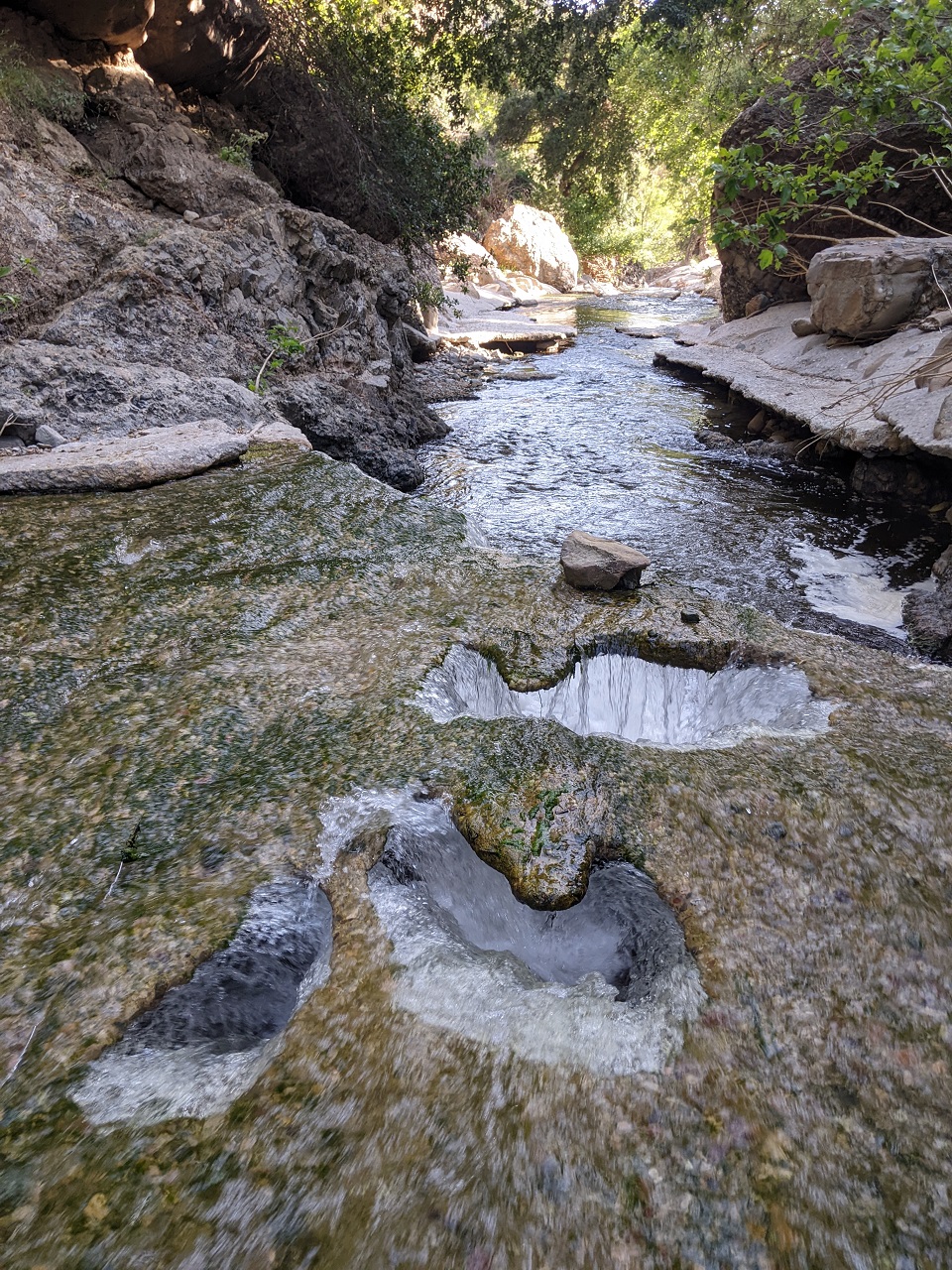
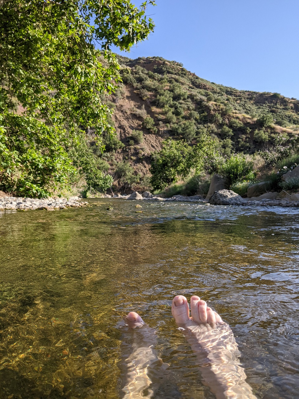
Water was lower and full of algae but that didn't stop me from a mid hike swim stop. Temps were mid 70s. Yanked some algae free and the water was still chest deep where there is a bend in the concrete gap.
A couple miles later I was back at Piano box prospect where the Gilette Mine trail takes off from Fish Canyon. Had lunch here along with another swim. Another nice deep spot there in the gap.
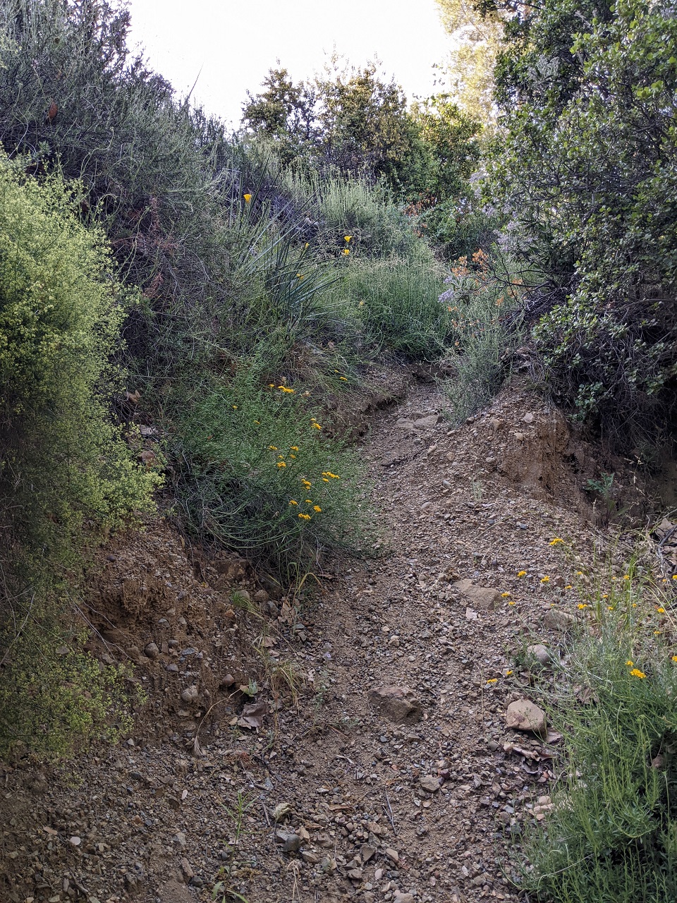
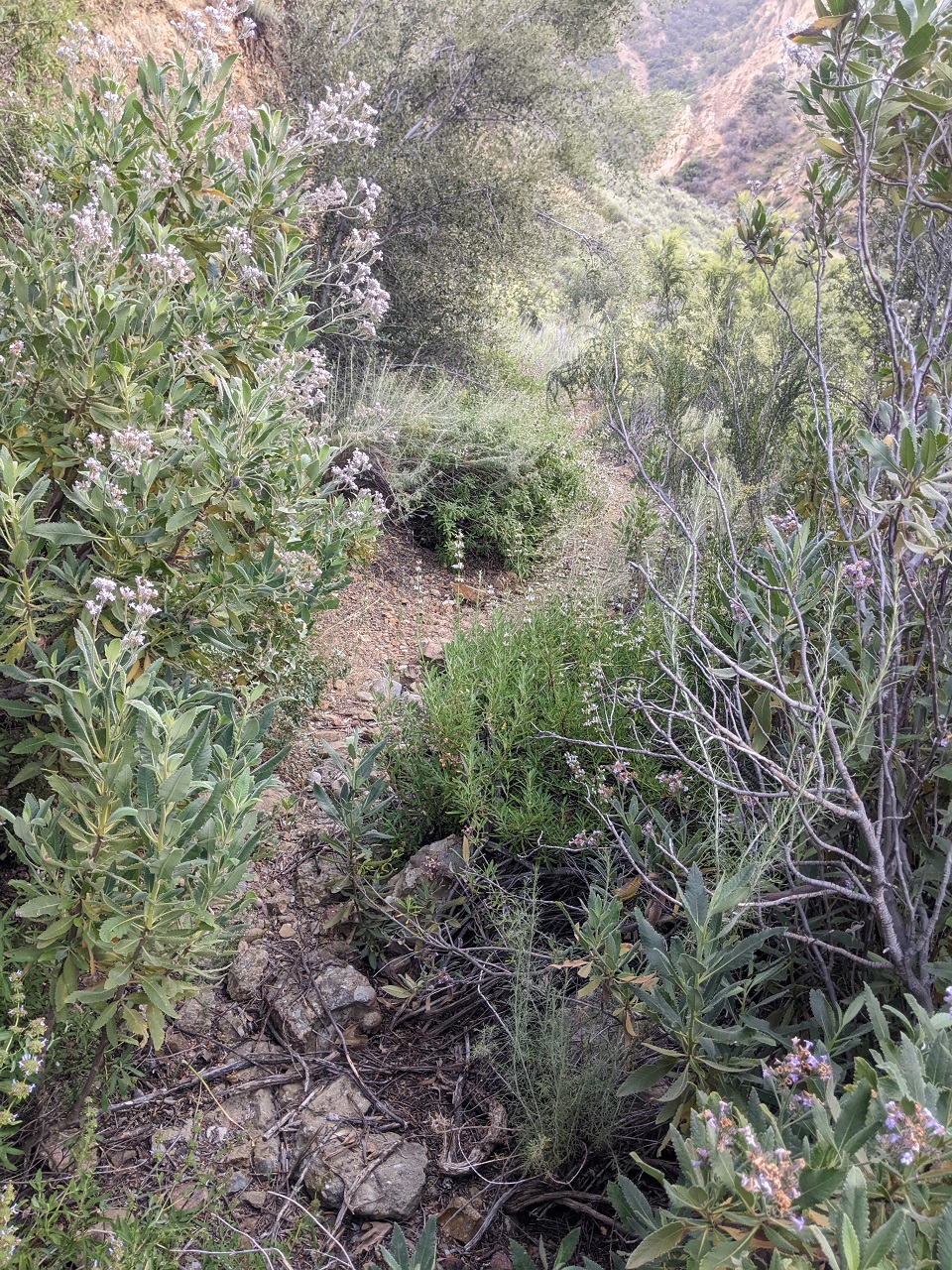
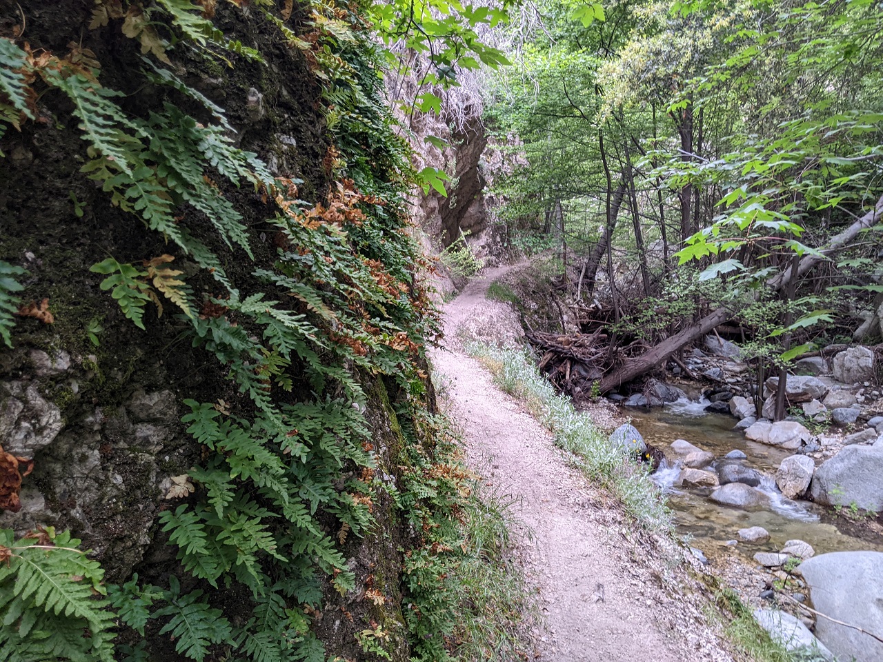
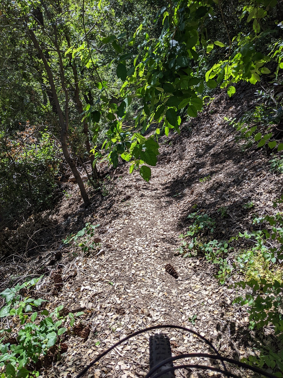
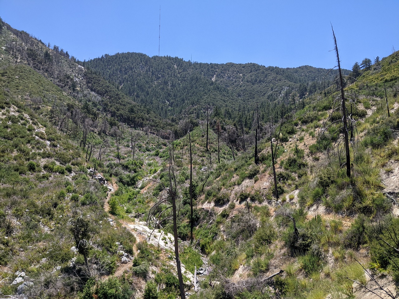
The trail seemed even more overgrown than it had been a month ago. The bottom is very steep, overgrown and eroded. Seems I had turned around just before it got better. A couple switchbacks beyond my turnaround it levelled off some and got much nicer. Still overgrown, but you can tell there is a solid trail underneath.
Looking back down Fish Canyon from a few hundred feet up.
And looking up Fish Canyon. The trail would continue up a series of switchbacks before heading west to a saddle.
Some sections like this were really nice, just need to dig out the yucca and clean up the tread a little. Other sections were overgrown, mostly with chaparral that would be easy to trim back.
The Gilette Mine Trail climbs around 1,000ft in 1.2mi so it's pretty steep this direction, but didn't seem as bad as that number suggests. It's a bit less steep dropping off the far side, maybe 900ft in 1.5 mi
View from the top now looking down to the west over Cienaga Canyon. You can just make out the road cut down in the valley. That's where this trail leads to.
Biggest hazard right now is yucca encroaching on the trail. The brush consistently tried to push you into it as you try to sneak around. I got poked in the shins numerous times.
Dropping down. Better view of the old road cut.
There was surprisingly minimal rutting of the trail. This was one of just a handful of sections where it was noticeable.
I'd lose the trail a bit down by the rock outcrop. GPS track showed it going right up and over the outcrop, but that's not a very feasible route especially for bikes and there was no evidence of a trail up there.

Cairns led right into this stream bed but disappeared where there was a deeper pool and a wall of poison oak on one side. I think that's the most likely route. I'd probably try to re-route around that to stay out of the stream bed entirely. I was able to pick up the trail beyond the outcrop.
Trail complete! Back on the road cut. I had missed spotting this end of the trail last time through. Good thing there is an obvious landmark right there. The trail intersects right behind where the three yuccas are.
Now I just have to get out of here.
Where the road cut descends there is where the really bad brush started. It didn't seem as bad this time. Not having the bike was a big help, but also seemed like I found a better line through the mess.
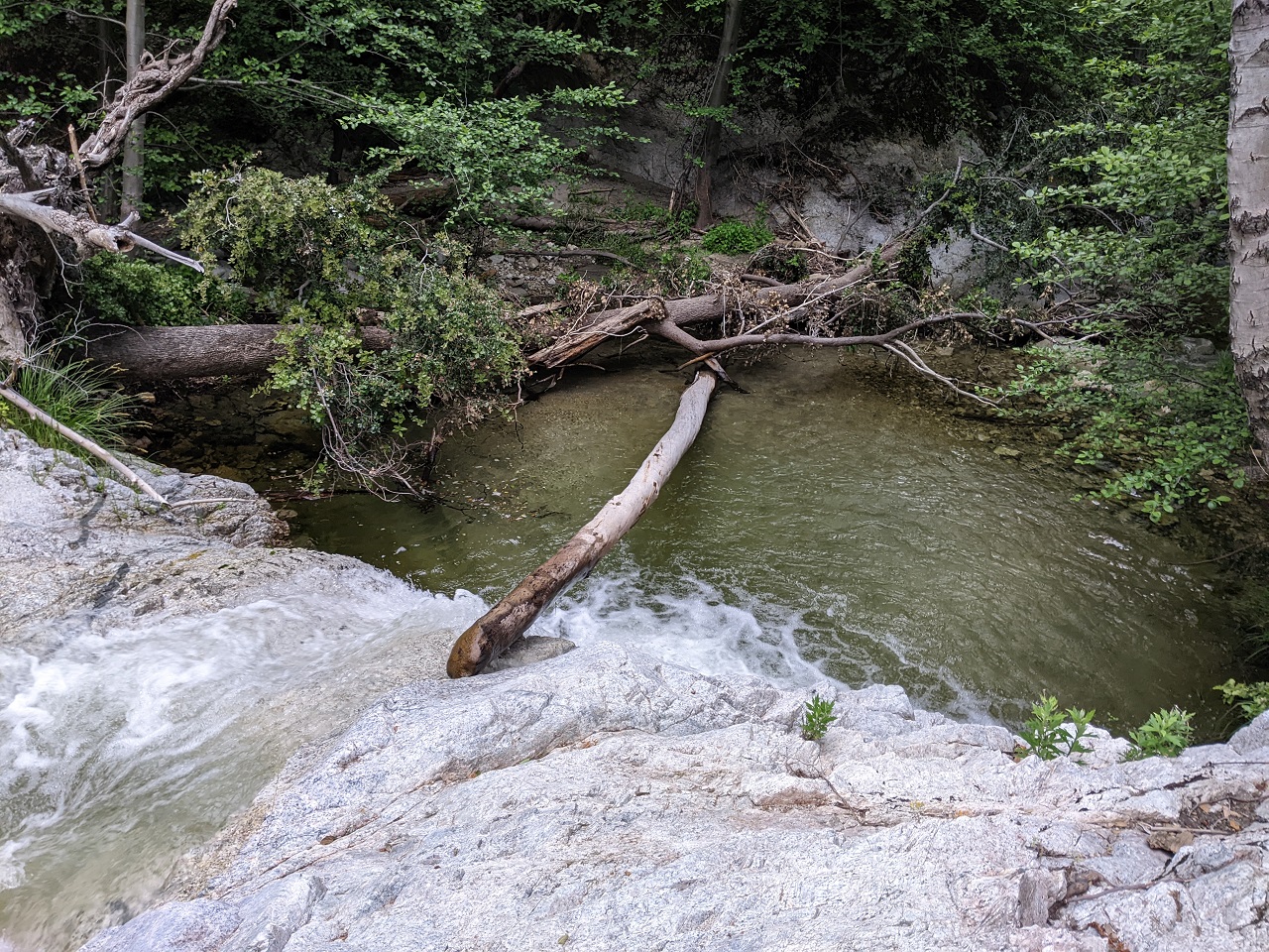
Waterfall not as majestic this time, but still flowing. This is where I had to put the wading shoes back on.
It was amusing seeing my tire tracks in places. I spotted some footprints as well. Looked like one other person had come up this canyon a mile or so not long ago.
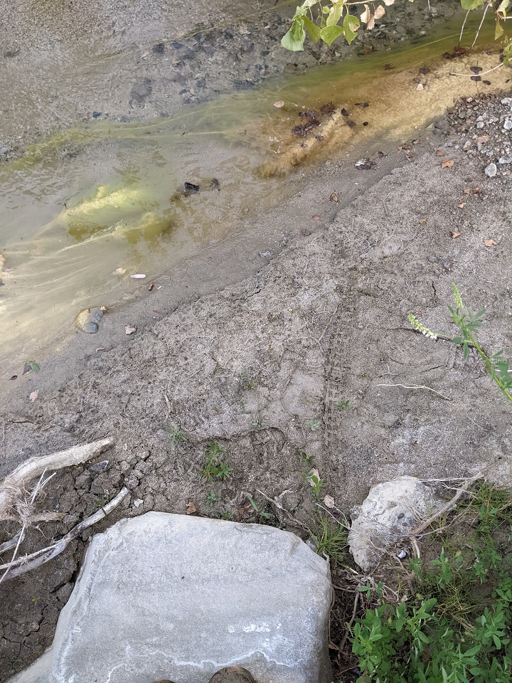
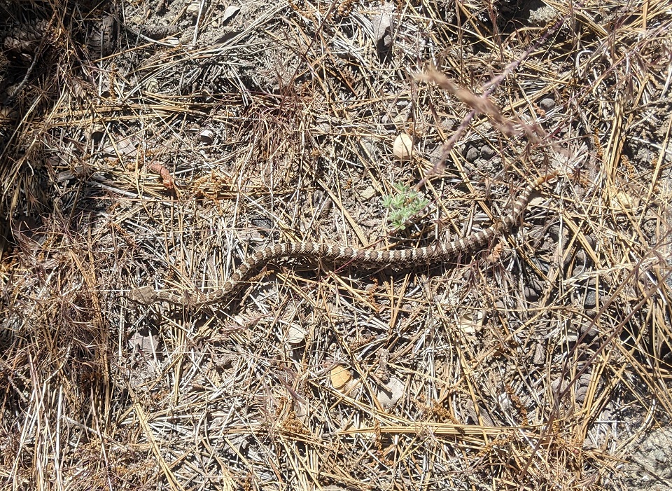
Impressive snake track on the road.
Verdict on the Gilette Mine trail - it's good. A bit steep in places but that's no big deal. There is a solid trail tread most of the way that needs minimal work except for a good brushing from end to end. And a bit of tread work and re-routing around small landslides. The upper part of Cienaga Canyon to Knapps Ranch needs brushing and clearing as well. They are about 9 miles combined, and then we'd have a really cool backcountry route through here.Last edited by evdog; 06-25-2024 at 02:13 PM.
-
07-05-2023, 12:17 PM #40
Registered User
- Join Date
- May 2012
- Location
- People's Republic of OB
- Posts
- 5,311
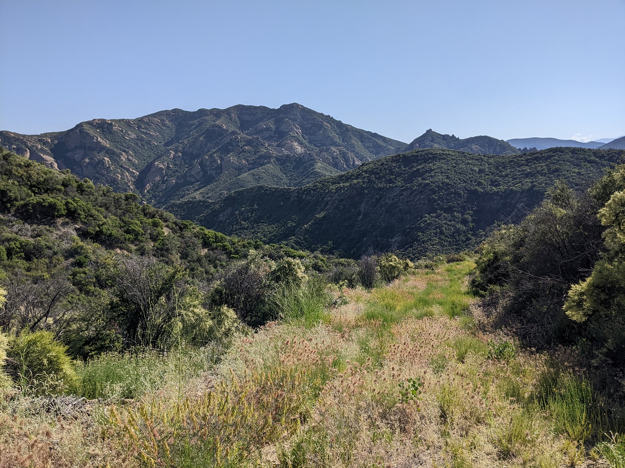
I was nearby, and there was one segment of forest road I hadn't been on. Not accessible at one end due to road closure which would turn an easy 12miles into a half day ride.
Road is open to OHV and in bad enough shape at the start, that's all that can use it.
Road was in good shape after climbing out of the creek
Uneventful climb up to a saddle and drop down the far side. Until close to the other end. Then was a series of creek crossings. Would stop for a swim at this one on the way back.
I was impressed with the amount of water still flowing in these canyons.
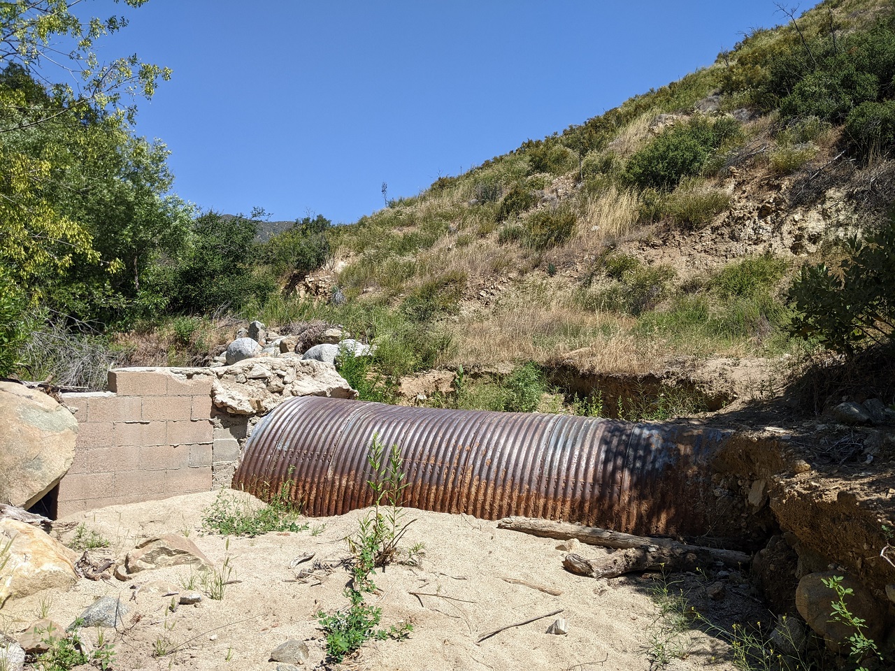
Came upon a washout. Couple hundred yards was wiped out by failed culverts and high flows.
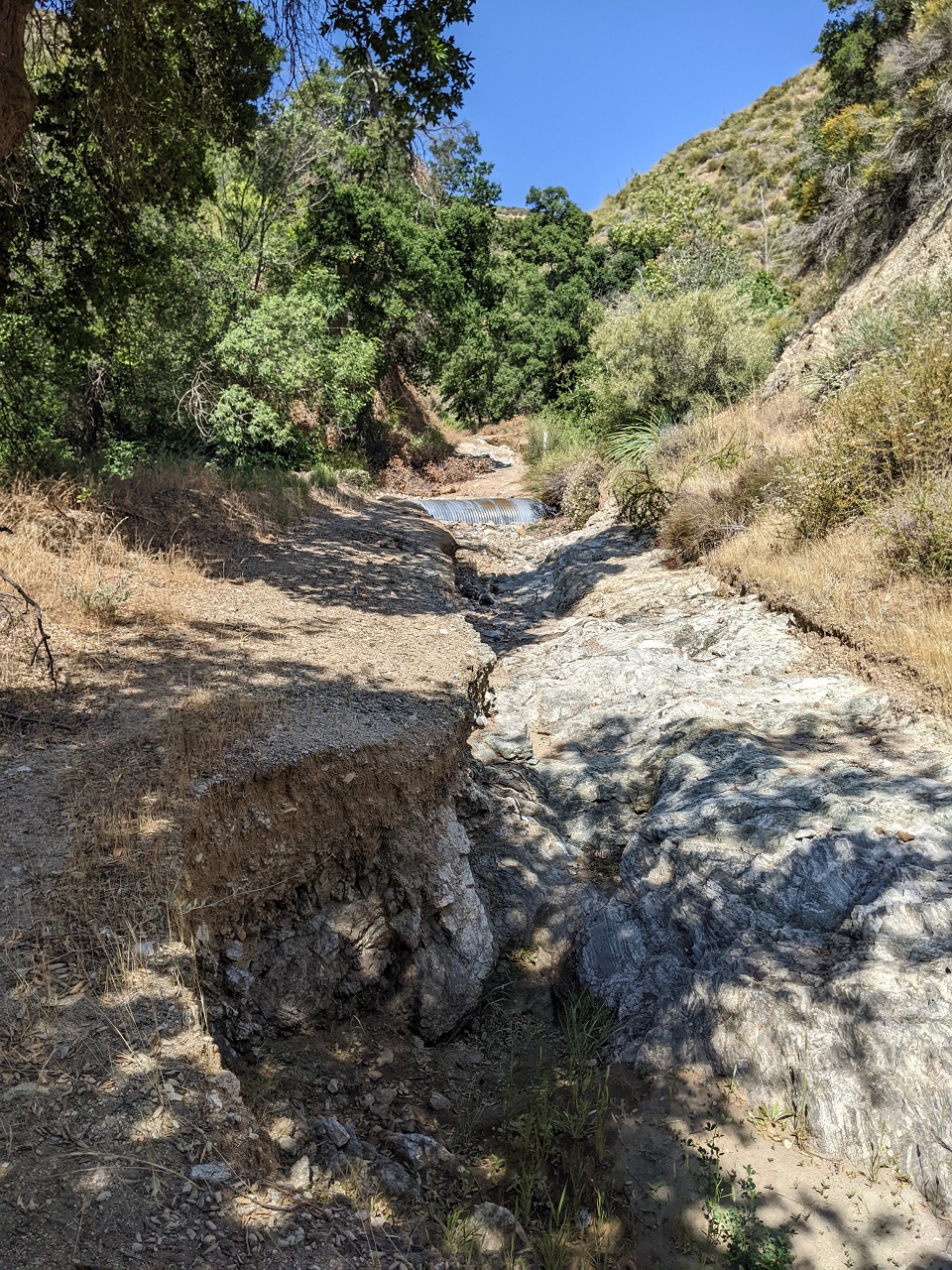
Now the culvert is just a big speedbump for motos and jeeps
Heading back. Grades were very reasonable the whole way which is often not the case in our mountains. Aside from the bottom ends of the road it was in good shape too. Also not always the case. That's why it's worth getting out to scout them before including in a route.
Waterfall along the road right at the top of the climb to cool off at.
Was hoping to finish and get on the road home early enough to beat LA traffic. Didn't happen...Last edited by evdog; 06-25-2024 at 02:15 PM.
-
08-12-2023, 04:13 PM #41
Registered User
- Join Date
- May 2012
- Location
- People's Republic of OB
- Posts
- 5,311
Got a bit behind, but will start on the last couple trips.
Early July I went back up to LA for another Lowelife's campout. The work we did previously was enough to get the Forest Service to reduce the Bobcat Fire Closure and open some more trails. They also graded FR 2N24 from Redbox all the way to Hwy 39.
I headed up Friday night. Rather than ride I hung out and enjoyed sunset from my super secret campsite.
Not bad!
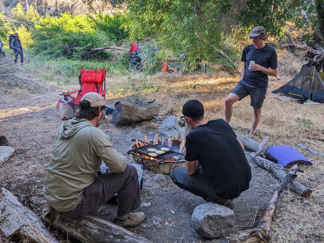
Same as before, we worked Sat/Sun with Saturday night camp.
Almost ready to get to work...
Having ridden Kenyon Devore recently I knew there was lots of poodle dog bush, so I brought a couple 6ft pruning sticks - my favorite tool for removing poison oak. Turns out the work great for PDB as well.
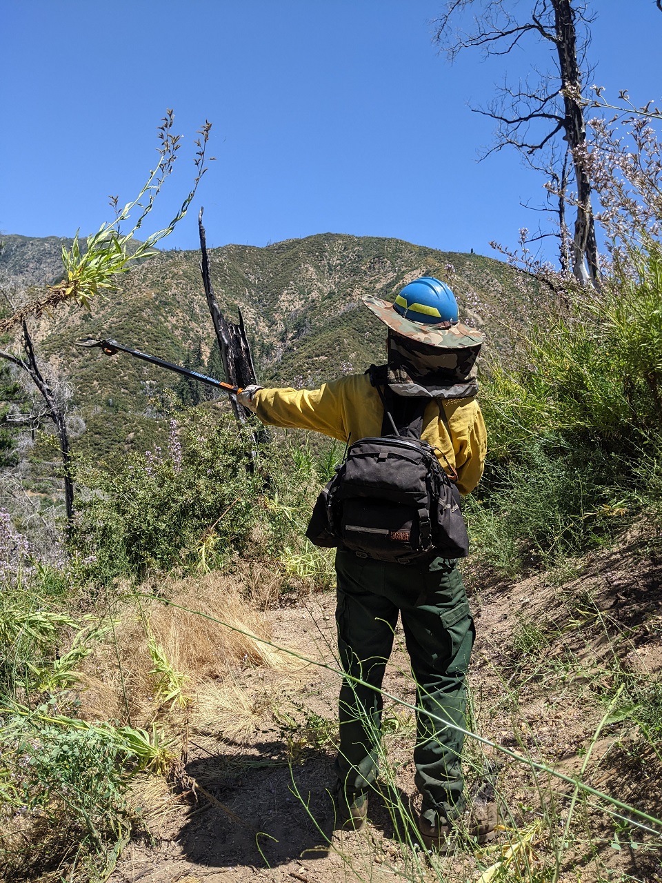
Matt and I would take PDB duty, clearing the trail corridor of it. The main project would be to clear PDB on Kenyon Devore trail which goes from the switchback in the pic up to treeline.
No way through this on he trail. I went off trail around it on my ride.
But today we'd make it disappear so you can ride the trail.
Finished work around 5. First orders of business involved refreshing liquids
Uninvited guest in camp. "Watch where you walk" was a key phrase the rest of the weekend. This one went down a hole under the picnic table but would be spotted more times during the weekend.
Tacos were killer as always
Sunday, was a long walk back to Kenyon Devore.
This is Poodle Dog bush. All those tiny hairs are what cause a reaction. Much worse than poison oak for a lot of people
Normally it only grows 6-8ft tall but the stuff here was mutant PDB. But it was up to 12ft in places with thick stalks. My pruning stick broke late morning and I had to use loppers. Not ideal when trying to keep your distance from the plant.
Carnage
Another before and after. It'll grow back next year, but trail is clear for now.
I hadn't had a rash from PDB before but definitely got one this time - face, hands/wrists and shins mostly. It wasn't that bad for me, and doesn't spread the same way PO rash does. Lasted a couple weeks though I still have bits of rash popping up on side/back of hands a month later.Last edited by evdog; 06-25-2024 at 02:16 PM.
-
08-14-2023, 12:00 PM #42
Registered User
- Join Date
- May 2012
- Location
- People's Republic of OB
- Posts
- 5,311
Waited a while for temps to cool down following trailwork, then set out on a Reverse Strawberry Peak loop from Switzers.
The lower part had half mile of pretty bad overgrowth and then this triple-trunk downed tree that was a pain to get over
The climb up out of Red Box is pretty easy this direction.
Going the right way for once
Just missed sunset around the far side.
The scree section is still sketchy and not all rideable
Headed down Colby to exit
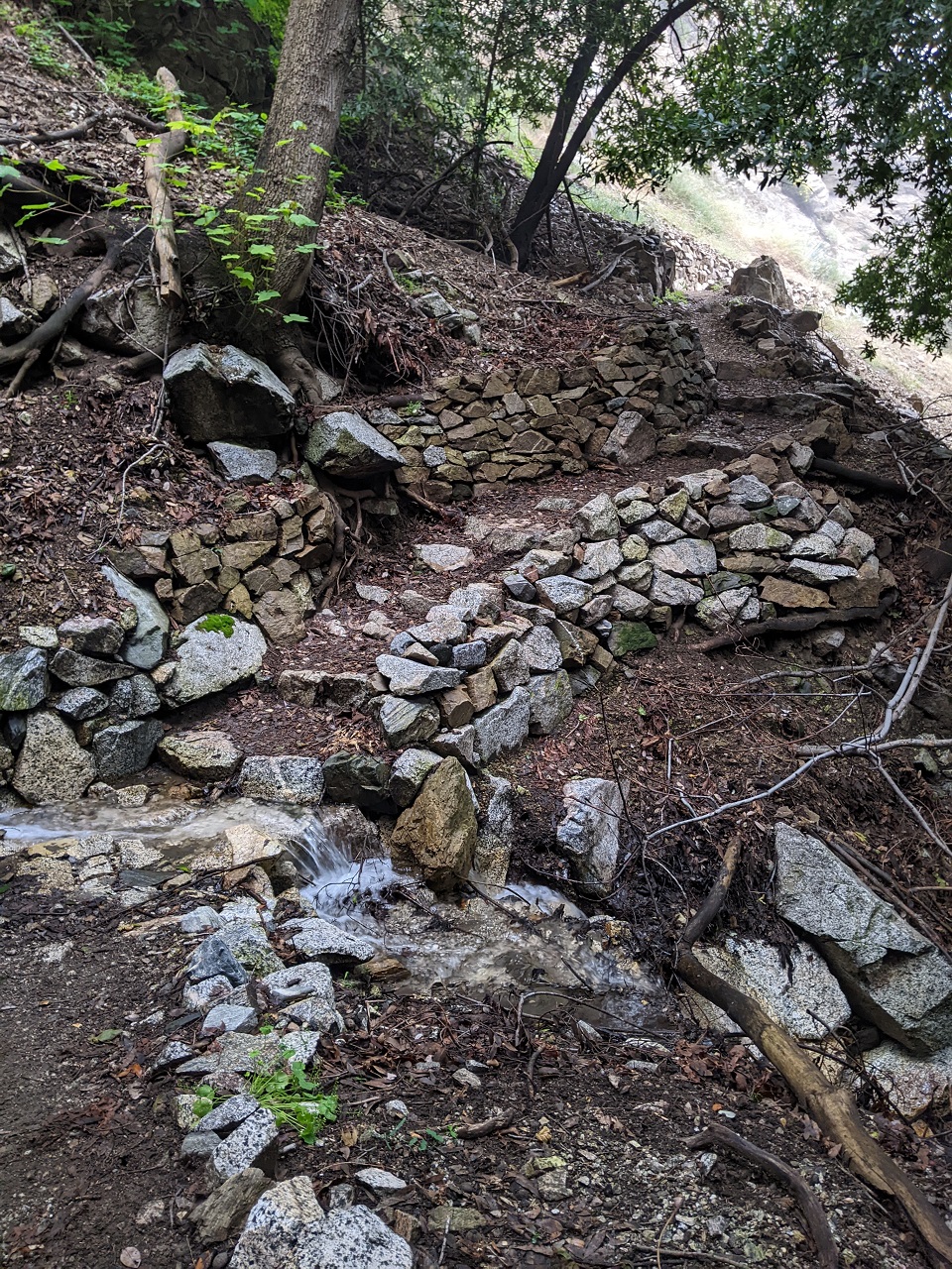
Seems like some trailwork has been done on it, most of the chutes have been rocked in.
Fun ride as always. Cool that it is good both directions!Last edited by evdog; 06-25-2024 at 02:18 PM.
-
08-14-2023, 12:20 PM #43
Registered User
- Join Date
- May 2012
- Location
- People's Republic of OB
- Posts
- 5,311
Went over to Mt Gleason next to look at potential alignments to connect the summit down to the Acton Trail.
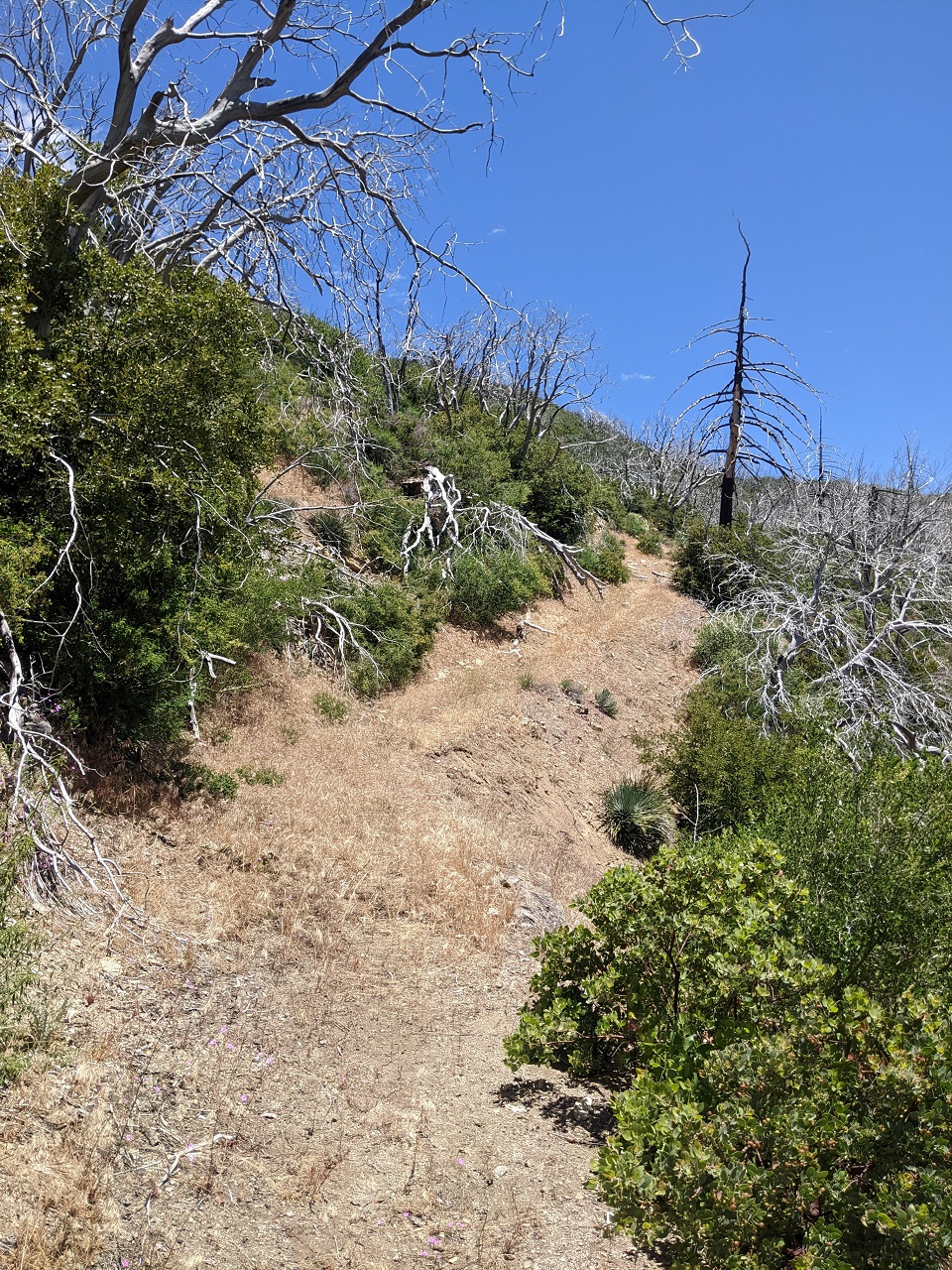
Starting at this doubletrack off the summit
And down to the ridge in front. I want to get some turns in the trees
The forest is very open until part way down the slope, then its thick brush. You can see the tailings pile on the far ridge that we stopped at on the ride with Gabe from Orogenesis
First option I looked at had a bunch of switchbacks, but I liked this ridge better since we can almost descend straight down it
Just need a couple wide turns to break up the grade a bit
Almost stepped on this little guy, less than 12" long
Love the open terrain
I didn't scout down into the heavy brush. Too hot for that. Will come back during more favorable temps.
Views through the burnt trees
Caught a bit of singletrack on the way out.
Last edited by evdog; 06-25-2024 at 02:18 PM.
-
08-20-2023, 05:26 PM #44
Registered User
- Join Date
- May 2012
- Location
- People's Republic of OB
- Posts
- 5,311
Next trip.... had out of town events coming up on consecutive weekends and opted to turn it into one longer road trip rather than head home in between.
First up was some trailwork in Hurkey Creek with newly formed Coachella Valley Mtn Bike Association.
Missing Link/Rage/Tunnel of Love are the trails I've worked on restoring for the last 18mos or so. CVMBA shows up on social media with a plan to restore them along with a couple other trails, and go out for a scouting mission to assess condition: "trails are here, really don't need a lot of work!" Yeah, cuz they've just been restored numbnuts! The other trails in the network do still need a lot of work though.
The trail plan approved in 2016 includes a re-route of Missing Link that we would look at for this current trail day.
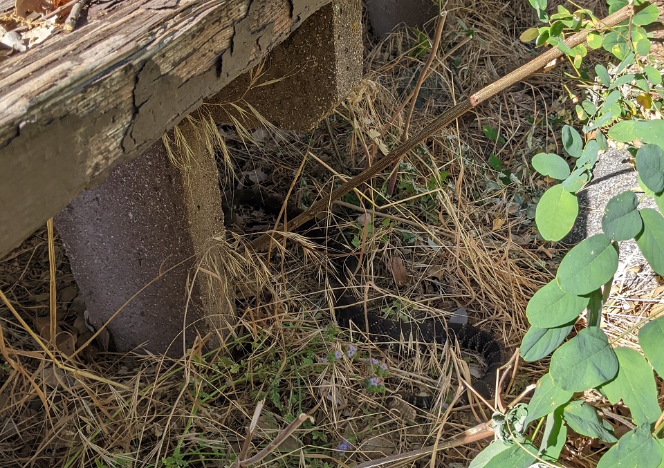
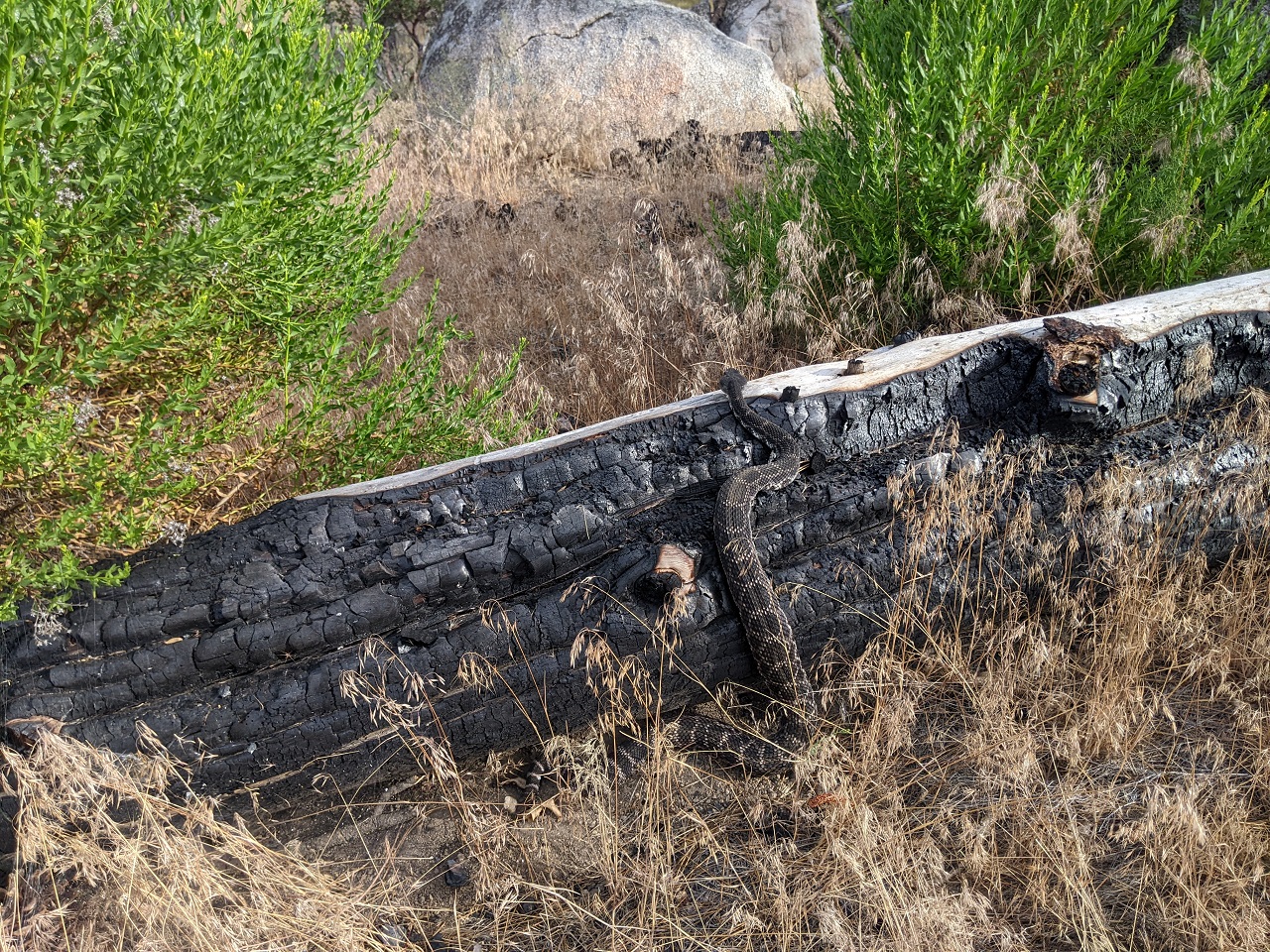
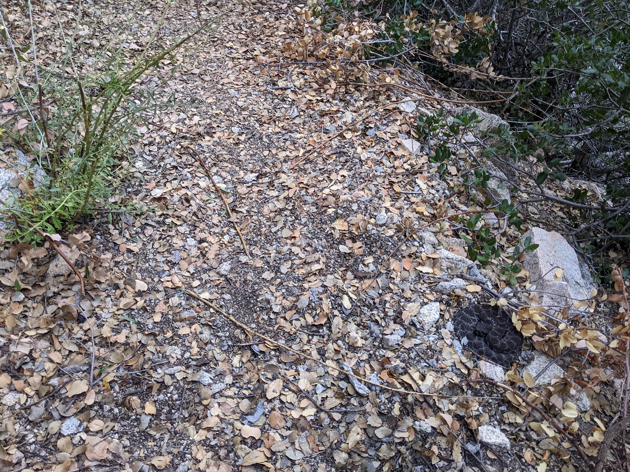
We barely got there and I almost stepped on this guy who was curled up next to a log. Didn't rattle, but jumped back as much as I did when I saw what I was about to put my foot down on.
I thought we'd just be planning out an alignment for the re-route, but the CV guys turned up with tools and got right to building before we had finished looking at the full alignment.
Fortunately it was mostly easy ground so there was no wrong answer where to put the trail
We did aim for all the rock we could though. This particular feature is an out and back for now
Ran the trail along this cool rock ledge which turns left toward more rock outcrops.
This re-route replaces a section of fall line trail that runs up the draw in the distance. Old trail is a bit steep and getting rutted.
New trail is longer, more fun and more interesting.
It was going to be mid 90s so I wore shorts. Got a nice dirt tan. Decent breeze allowed us to keep going until noon.
Fortunately Hurkey Creek is still running strong so I was able to clean up before heading out.
We finished about 0.3mi with around 0.1mi of the re-route left to build.
Last edited by evdog; 06-25-2024 at 02:19 PM.
-
08-20-2023, 05:43 PM #45
Registered User
- Join Date
- May 2012
- Location
- People's Republic of OB
- Posts
- 5,311
After trailwork I headed over toward Big Bear with a few rides in mind.
Had been years since I've ridden Exploration Trail so I turned off there, also wanting to check if any yellow post campsites were free. They are almost always all occupied but a few were open this night.
Score!
Only 90 min of light left, so I got the bike out and started climbing. I was camped half way up the climb so daylight shouldn't be an issue.
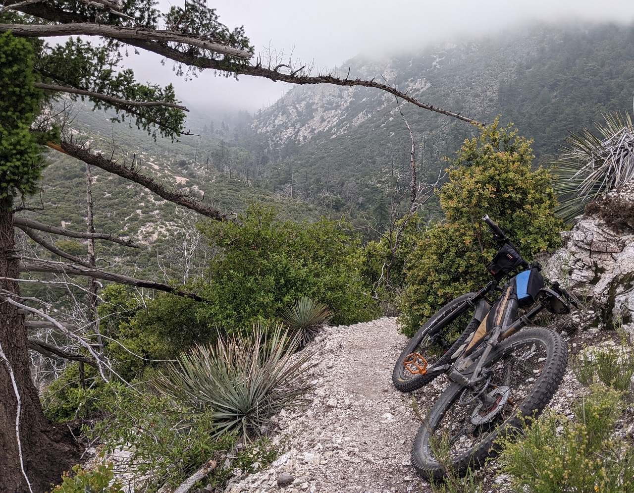
Was on trail 20min before sunset, so got some nice golden hour riding in.
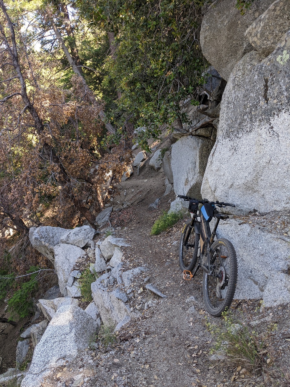
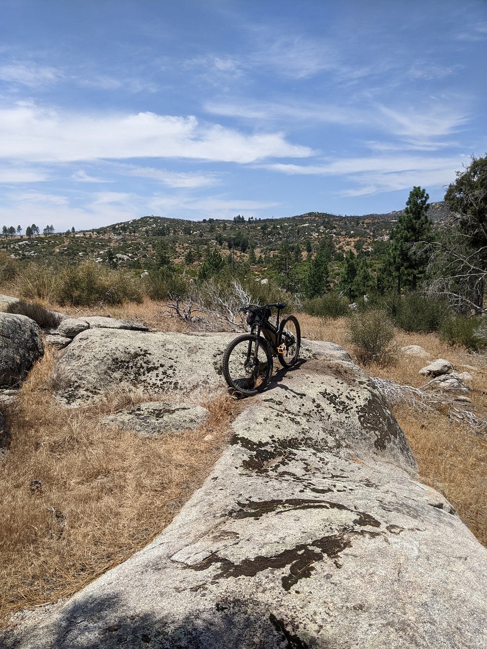
It's a sea of rock up there, surprised there aren't a bunch of off menu trails.
Had to stop for a few pics. Lots of interesting rocks throughout
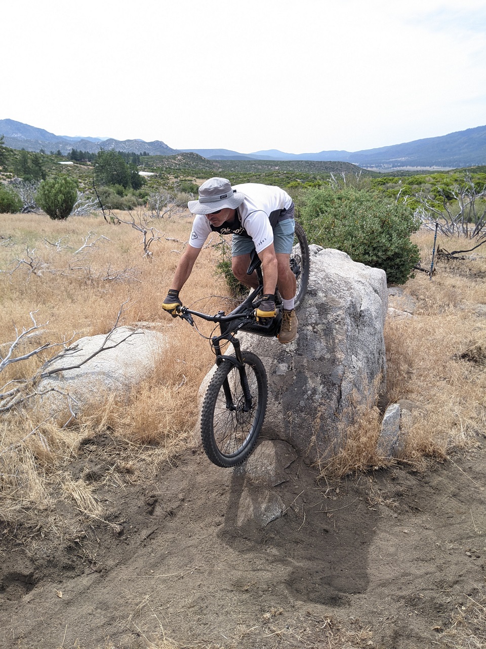
Trail is a good mix of flow and tech, with a few challenging up/down moves.
Stopped to enjoy the sunset. Finished minutes after sunset and was able to pedal back to the camp without needing lights. Perfect....
Last edited by evdog; 06-25-2024 at 02:20 PM.
-
08-20-2023, 08:25 PM #46
Registered User
- Join Date
- Oct 2003
- Location
- slc
- Posts
- 19,268
Those Big Bear rocks look sweet.
-
08-21-2023, 11:55 AM #47
Registered User
- Join Date
- May 2012
- Location
- People's Republic of OB
- Posts
- 5,311
For sure. Unfortunately the trail doesn't make great use of them. Originally Posted by Dantheman
-
08-21-2023, 12:01 PM #48
Registered User
- Join Date
- May 2012
- Location
- People's Republic of OB
- Posts
- 5,311
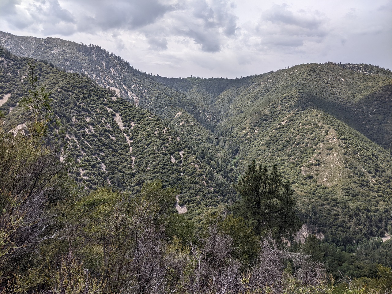
Siberia Creek was the main trail I wanted to check out around Big Bear. I’d ridden down to the Gunsight years ago, and also ridden Camp Creek and out Clark’s Ranch Tr which intersects the bottom of Siberia.
But had always heard Siberia was in bad shape if not impassable, so I had never hit it. But it got worked on several years ago. We are considering using it for Orogenesis so now was the time to scout it.
Stopped by Mountain High on the drive through and loaded up the MTB for a moto self shuttle over to Big Bear.
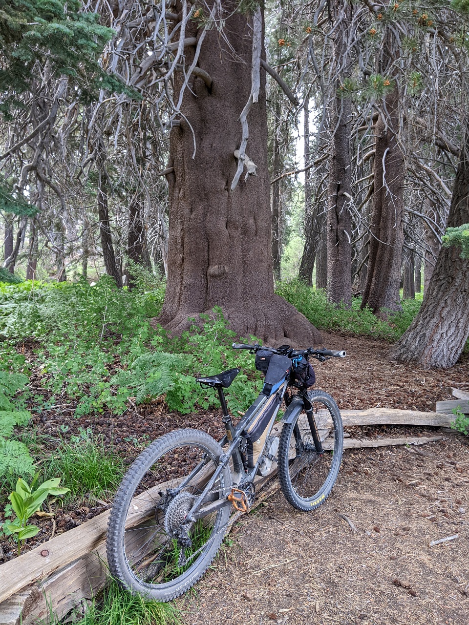
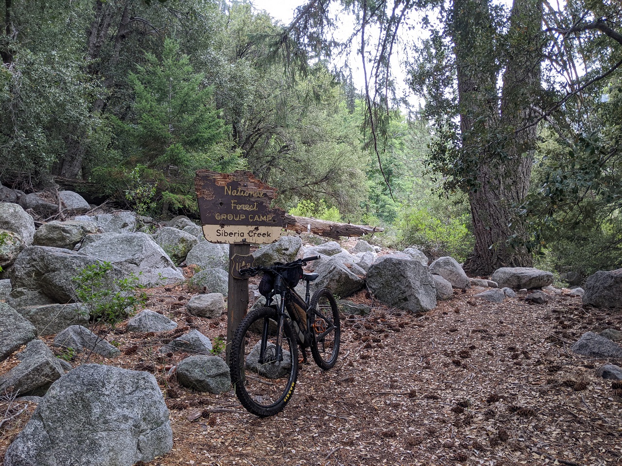
Parked just off 2N10 and pedaled over to the Champion Lodgepole Pine which is right by the start of Siberia Creek.
The trail starts off flat with a meadow just out of sight, then a gully starts to form which soon turns into steep rocky sidehill.
Some fun tech appears.
The Gunsight. This is as far as I’d ridden this trail before. Trail was in good shape to here, just one downed tree.
Came across a few busted up downed trees and branches just below Gunsight. Was able to move them off the trail
Brush had closed in a bit but mostly wasn’t a big deal. Except for some thick manzanita branches at chest level. Cut all of those out.
Didn’t try my luck getting past this tree. Much of the trail has a loose edge and there was a good drop off the side here.
Around 3 miles in it started raining. Then I ran into a patch of thick brush. Fortunately the white thorn was abnormally soft so I didn’t get raked. I did get soaked though. Thick-ish brush lasted around half a mile.
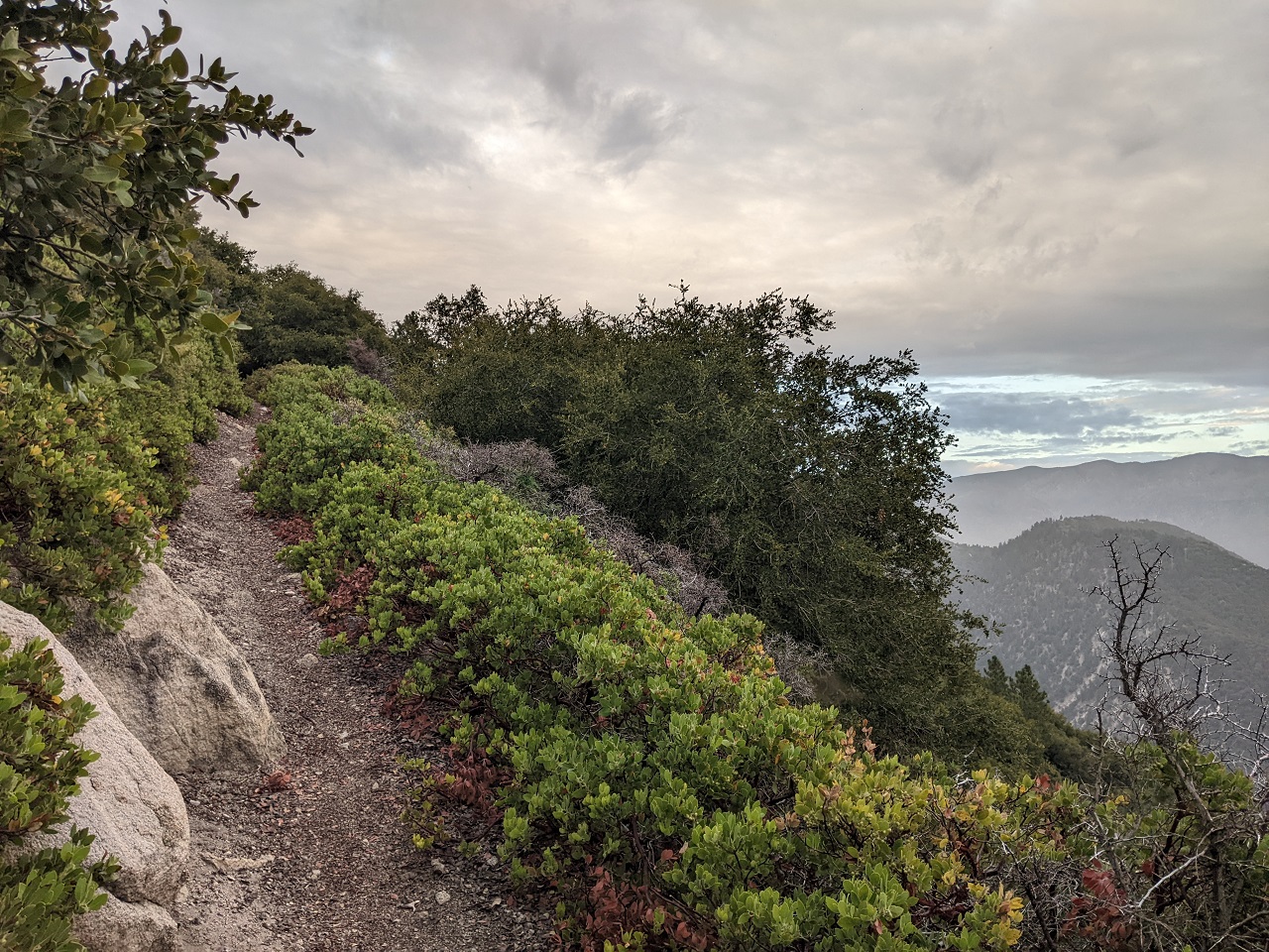
Loose sidehill riding. Stay away from the edge and you’re good.
I was running into more low branches like these. I probably spent 3 hrs cutting them back over the course of a few miles. They had to go. You couldn't just brush past these branches.
Nice section with a good view. Long way down yet to go.
Relics
More relics. Came across around 15 downed trees. Most of them were punky and old.
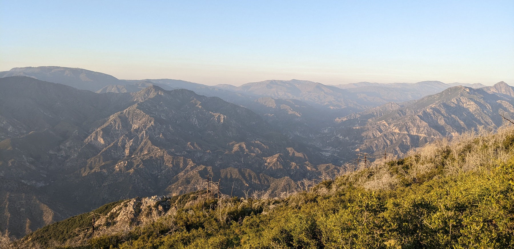
Good view over the valley. Still about 800ft of descending left. Then I get to climb all the way up the other side.
The last mile got more overgrown. Had to leave most of it at that point as I was running out of time. Made it down to Siberia Camp
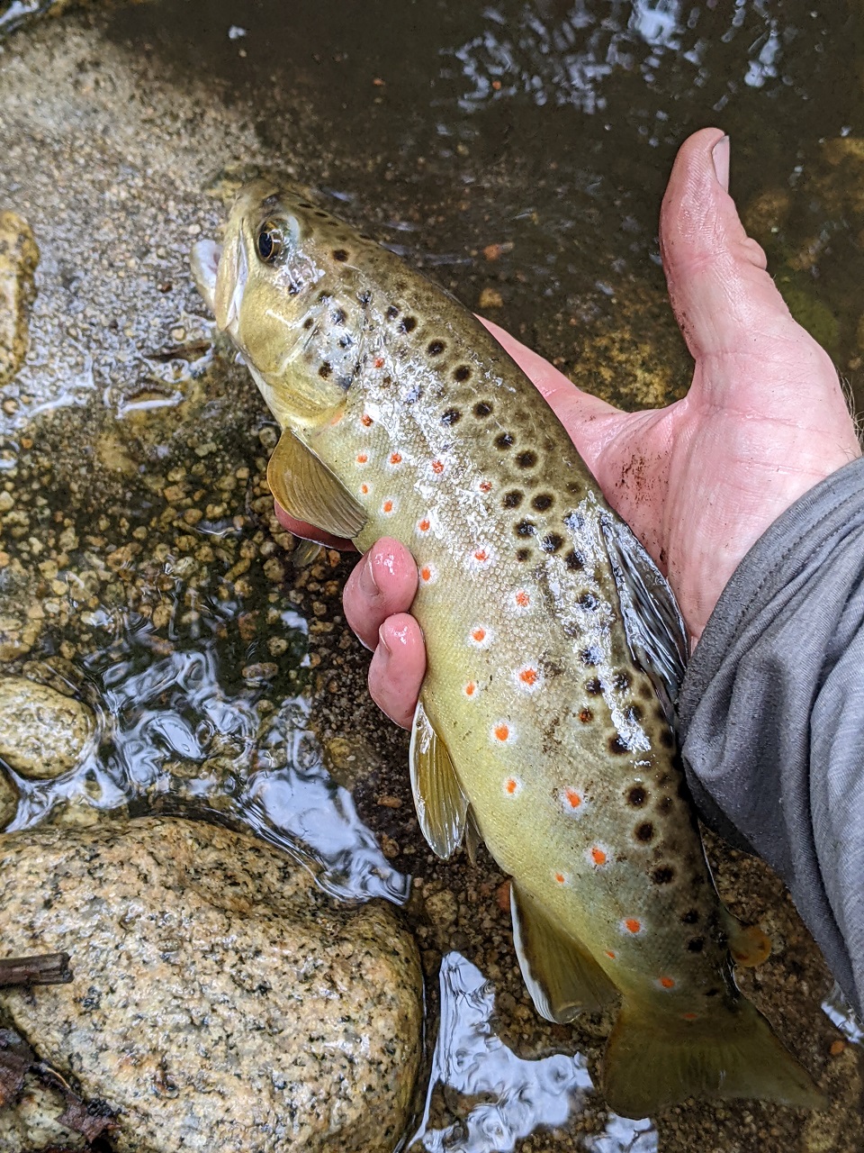
Couldn’t help but do a bit of fishing. Found a few nice browns, but fishing was tough with all the brush.
Started up Camp Creek. Steep climb out of the creek on a few switchbacks. Rocky at first.
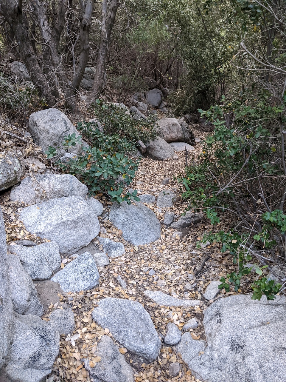
Someone has done a bit of brushing so the trail wasn’t bad. Appreciate the work but cuttings were left where they fell.
Almost stepped on this guy half way up. He was bigger than he looked at first glance. Shooed him off the trail.
Almost there! Made the top just after sunset and had a short pedal on the highway back to the truck.
Good day out there. I’d like to go ride Siberia again now that it will be mostly rideable with the trimming I did.
Bring loppers if you ride it and trim back some brush! The white thorn section in the middle and the last switchback down still need some work.
This was a scouting mission for Orogenesis. I loved the trail but not sure I’d want to send people bikepacking down it. Loose tread, tight turns and lots of spots you’d have to dismount on a loaded bike would make it a pain. And 2,000ft of mostly hike a bike to get out the other side. Still going to consider it a possible route but I think using Skyline/Pineknot and Gray’s/Hanna would be more fun on a bike. Gotta weigh all the pros and cons of each.Last edited by evdog; 06-25-2024 at 02:22 PM.
-
08-29-2023, 10:31 PM #49
Registered User
- Join Date
- May 2012
- Location
- People's Republic of OB
- Posts
- 5,311
Continuing on....
Camped near top of Siberia Creek since it was dark when I got back to the moto. Was woken up around 730am by a couple hikers who got lost going off trail trying to find Castle Rock.
Instead they found an abandoned campfire that was smoldering into a downed juniper tree which was starting to burn. They didn't have tools/water or cell service to call it in.
I had tools and water so we took my rogue hoe and a couple jugs of water to see if we could put it out.
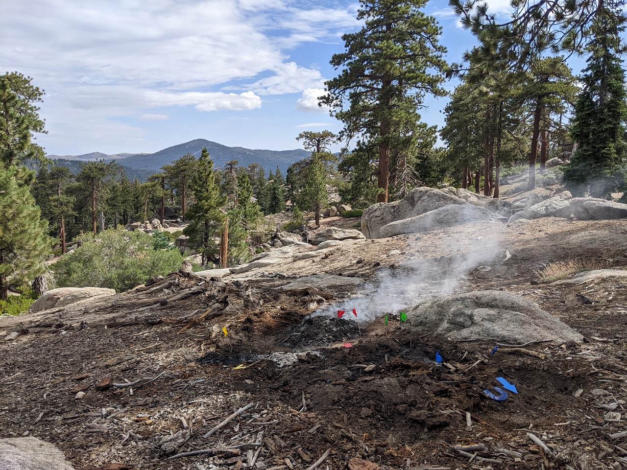
Campfire was on the left, flames starting into the juniper on the right
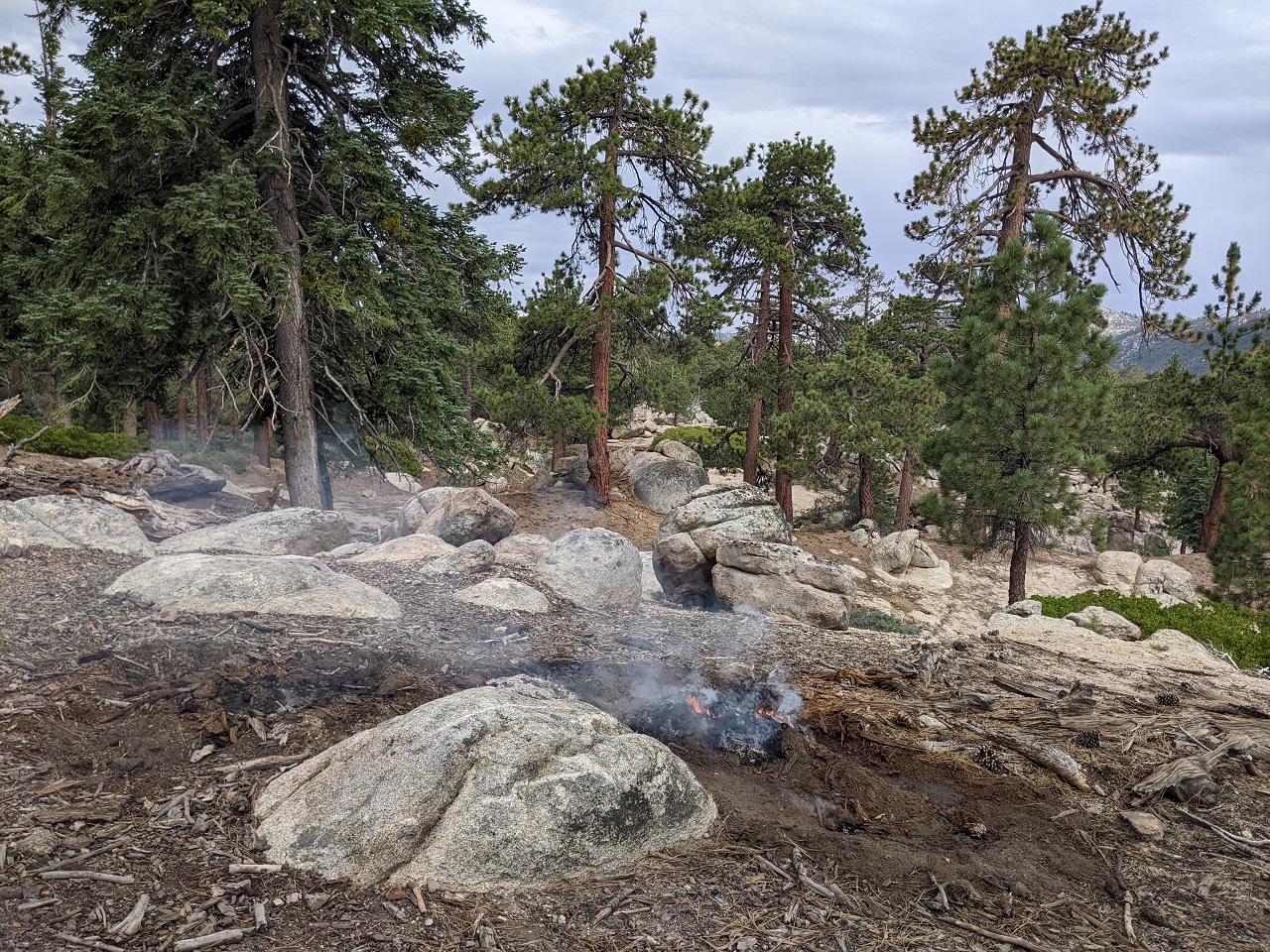
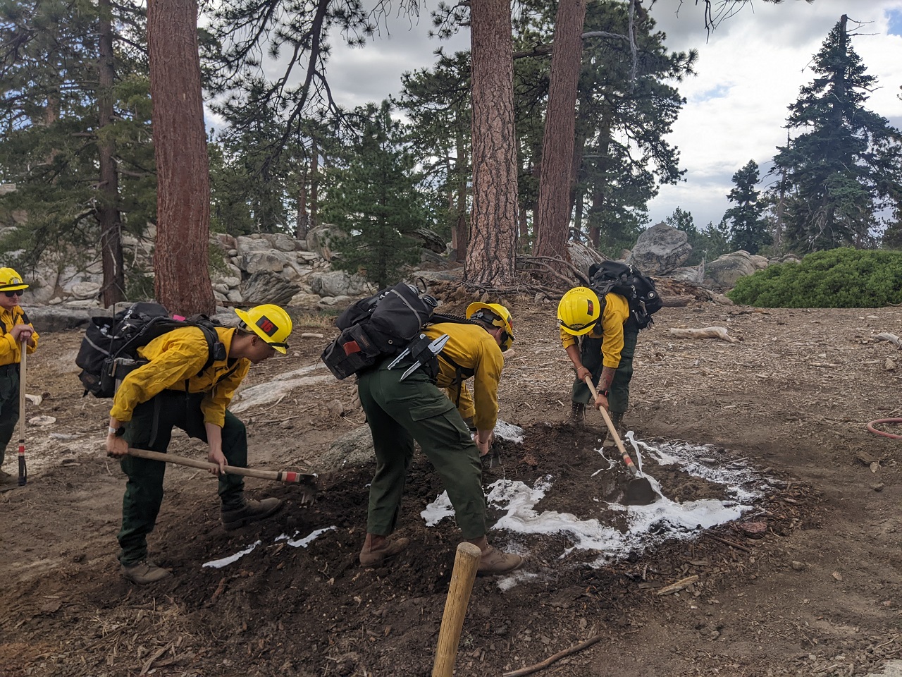
I poured water and the hiker pulled dirt and wood back from the rest of the log. It was obvious this wasn't enough as there was still plenty of heat and more embedded wood smouldering below in the dirt. So we called it in.
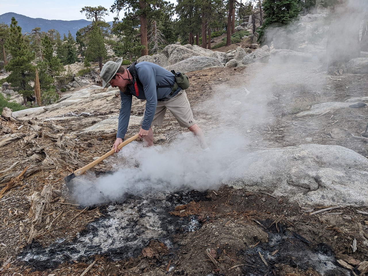
If you've ever wondered whether you should call in an abandoned campfire fire, even if it is just smoking....do it. All the responders who showed up were very appreciative.
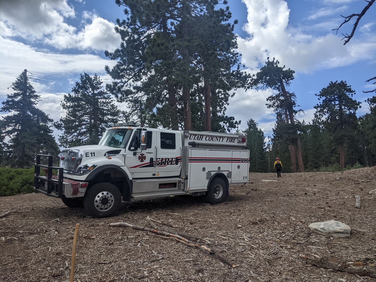
They sent a battalion commander, fire investigator, two engines and had an aircraft on standby.
Of course part of that was because the game of telephone between 911/county/FS dispatchers turned my message of "abandoned campfire smouldering into buried tree" into "tree on fire."
Had to give the Utah engine crap. They were on loan to USFS and assigned to Big bear. You guys came all the way from Utah, no wonder it took you so long to respond!!
Only the investigator gave us some flack. It was obvious to everyone what happened, but by digging around the progressing fire he could no longer prove definitively in court that the fire progressed from the abandoned campfire to the downed log. Not that they would ever catch the campers.
They alternated spraying with foam and water, and grubbing.
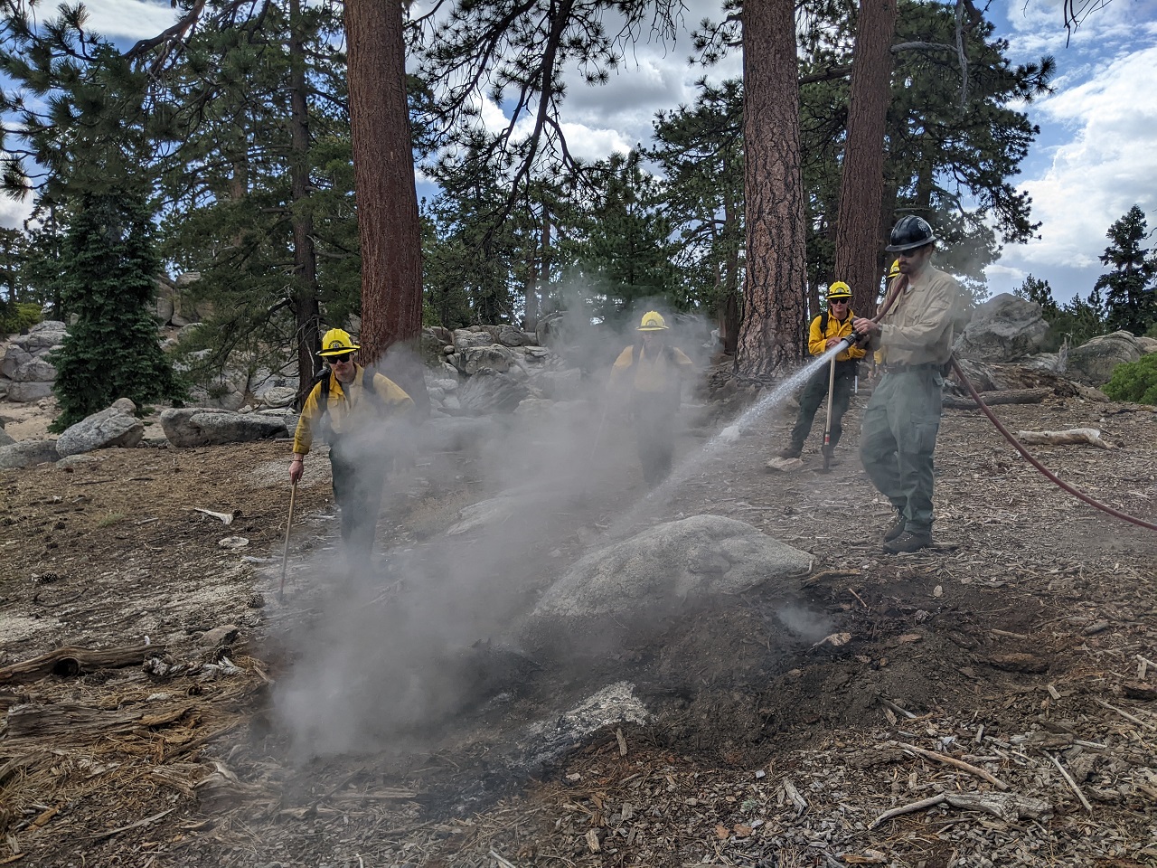
I was a bit surprised they weren't wearing gloves, but each time they'd spray water and then dig it up, they'd all get on hands and knees and feel around with their hands for any heat. I left after 45 min and they were still going at it.
Someone had rolled a log out of the way to drive in there. Firefighters rolled a bunch back in place to block it. I'm sure there will be more plus some signage added by rec staff.
A couple interesting tidbits:
Battalion commander said a few of their fire engines have had collisions on forest roads with private vehicles driving forest roads like its the Baja 500.
He also said in all his years of working fire he has never seen an escaped campfire from a yellow post site. They prepare the sites by removing vegetation and downed wood in the ground. Said he wishes the forest service would install a ton more of those sites, since they often deal with escaped fires from other dispersed sites. This one was an illegal fire since current fire restrictions prohibit fires outside designated sites.
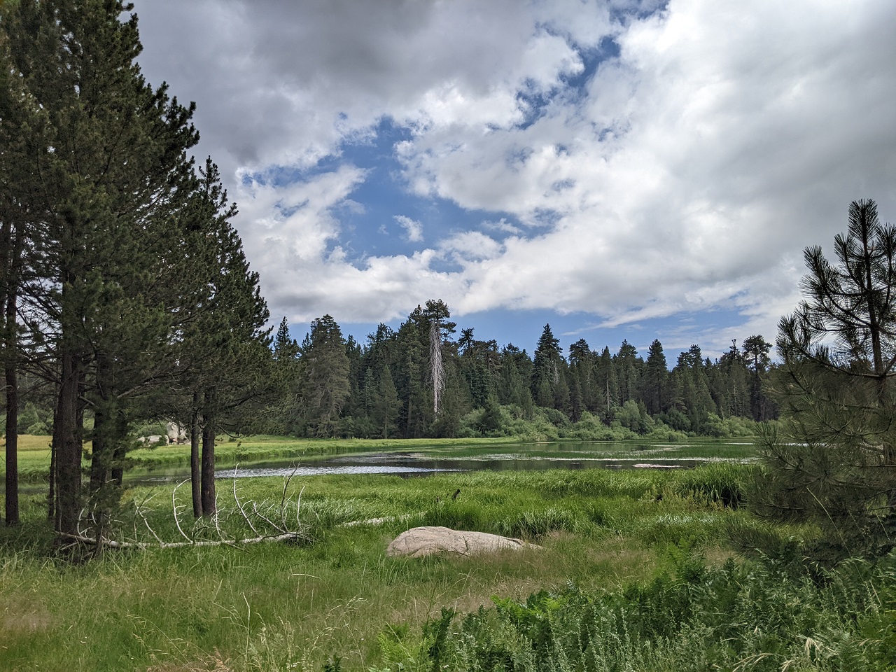
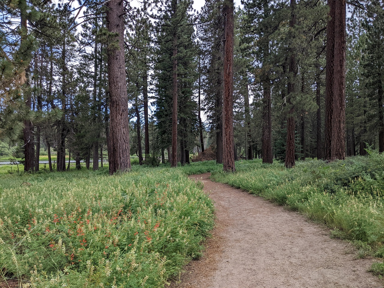
Went for a short hike over to Bluff Lake nearby.
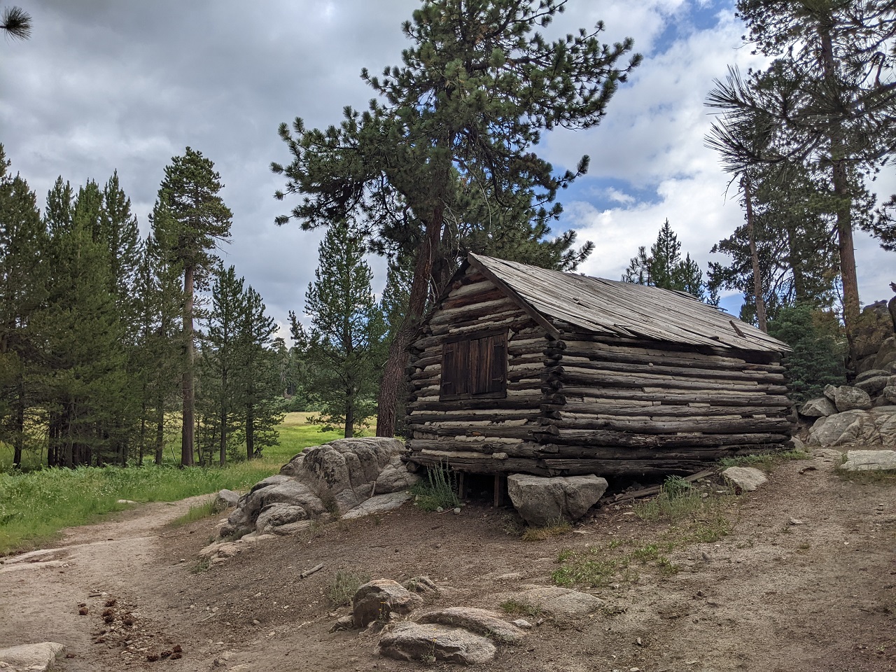
There's an old cabin and cool fireplace/picnic spot.
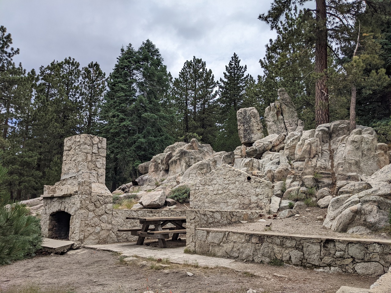
No bikes so we can't use it for the route. There was a ranger set up on site, and this was a weekday.
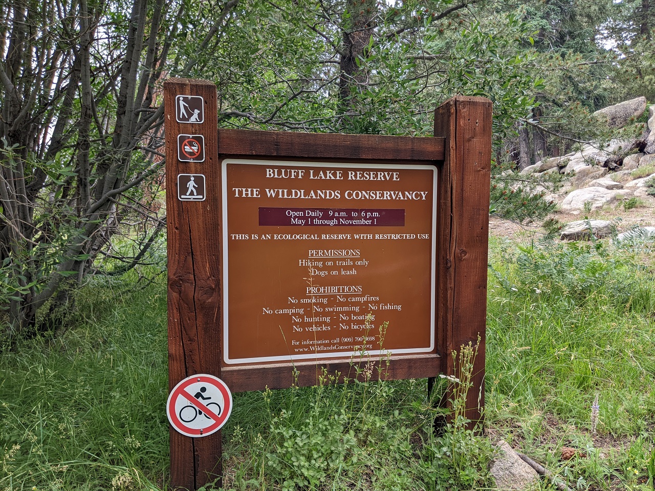
Pretty spot though.
Rain in the forecast and was seeing lightning in the distance so I opted to head out rather than do my planned ride.Last edited by evdog; 06-25-2024 at 02:24 PM.
-
08-30-2023, 01:08 AM #50
Registered User
- Join Date
- May 2012
- Location
- People's Republic of OB
- Posts
- 5,311
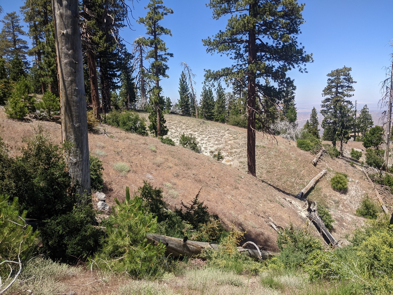
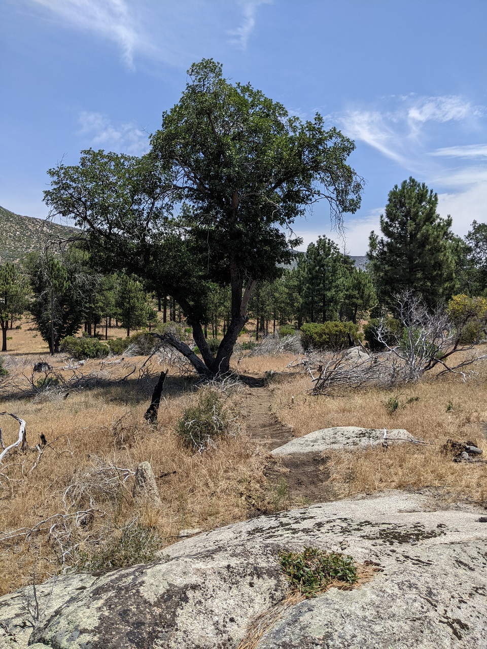
Next stop was southern Sierras where I wanted to do some scouting of a potential new trail.
Current plan for Orogenesis is to have a route up both the east and west sides of the Sierras. Mostly because there are people interested and scouting each side. Conveniently, that will also make a loop possible.
Route options are not ideal in the south Owens Valley however. To get up to Kern Plateau from 395 the only existing option is to ride up paved Nine Mile Canyon Road. That climb is actually 25 miles under full sun to Kennedy Meadows.
I didn't think there was a way though by trail, but Gabe spotted a 2-mile wide gap between the South Sierra Wilderness and the BLM Sacatar Wilderness that we may be able to sneak a trail through from the top of Haiwee Pass Trail, also outside Wilderness. Unfortunately that exact area was added as Recommended Wilderness in the 2019 Inyo NF management plan update.
But it ain't Wilderness yet. And there is a trail that climbs up from Kennedy Meadows to the Wilderness boundary that we could use for 3.5 miles. I had drawn in a potential route to connect that to Haiwee Pass which would require around 10 miles of new trail construction. The plan was to hike the Wildrose Trail to the Wilderness boundary and see how the terrain looked.
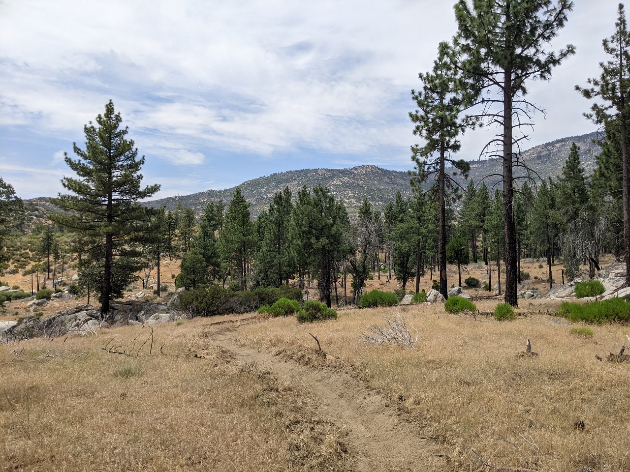
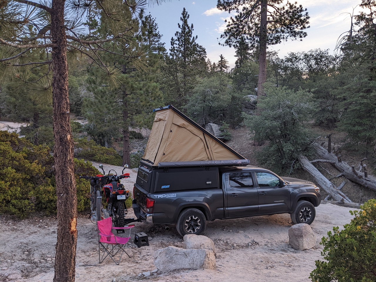
Camp near Kennedy Meadows

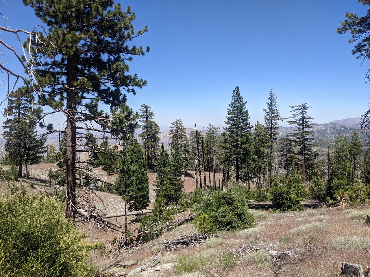
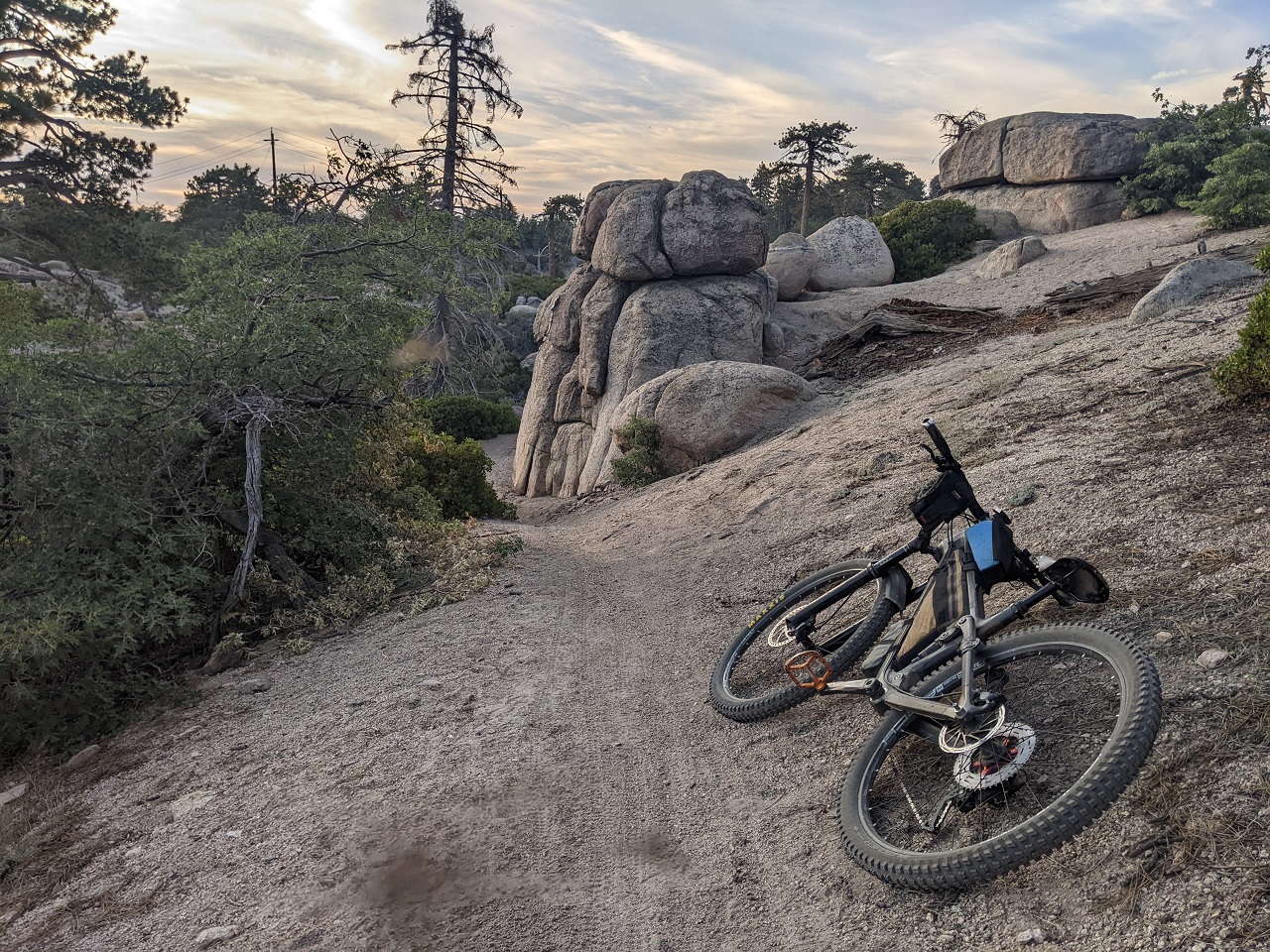
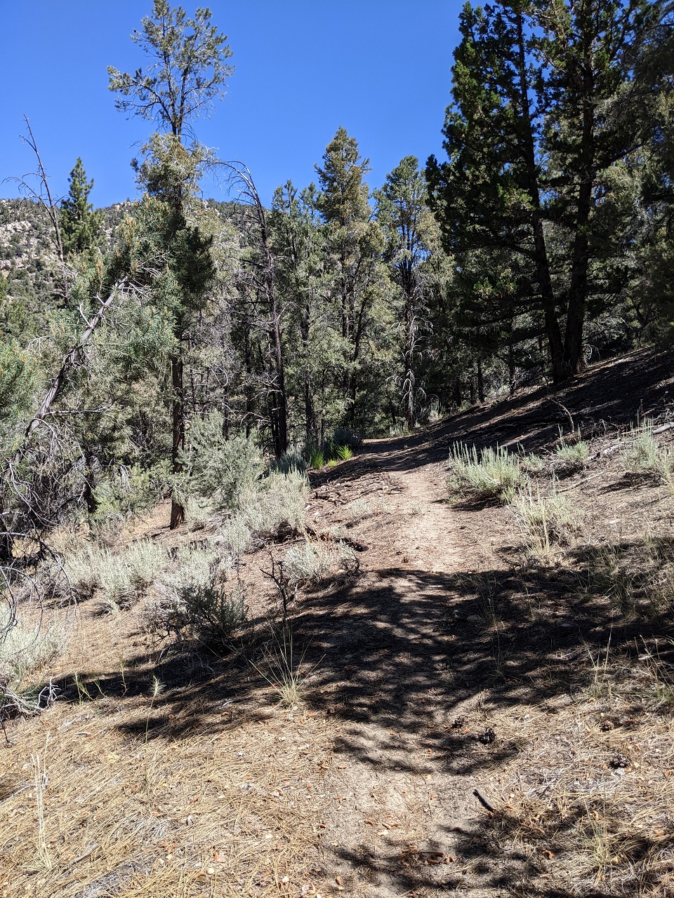
The first part of Wildrose is OHV trail, then it becomes a hiking trail. I had no idea what to expect. It was only marginally visible on satellite.
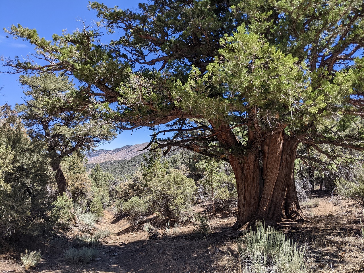
A view back toward the Domeland Wilderness a little ways up the trail
Trail was surprisingly nice in places - anywhere the grade was not steep
I briefly lost it when the trail crossed a small wash and I missed a cairn. I kept heading uphill and found it again after the trail completed a switchback.
The trail was steep in places. Some of those were a bit rutted and others were rocky and eroded
Found a spring 3 miles up that was pumping out cold water.
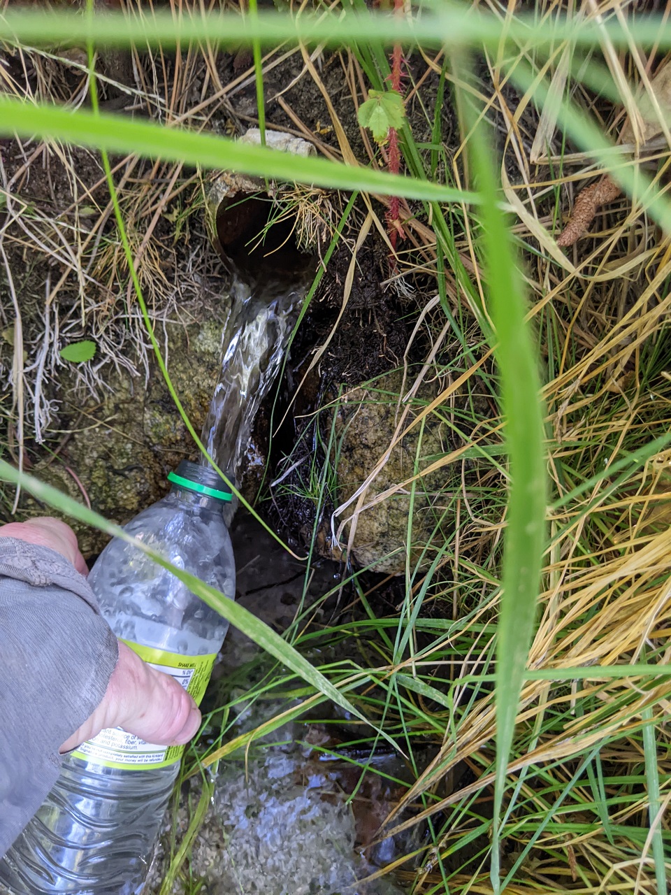
After a short slog along a wash there was a bit more nice trail.
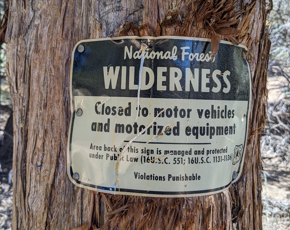
Then I got to the high point at the Wilderness Boundary, which was my turnaround.
Pre 1984 Wilderness sign. Motorized not allowed. But bikes ok....Got it.
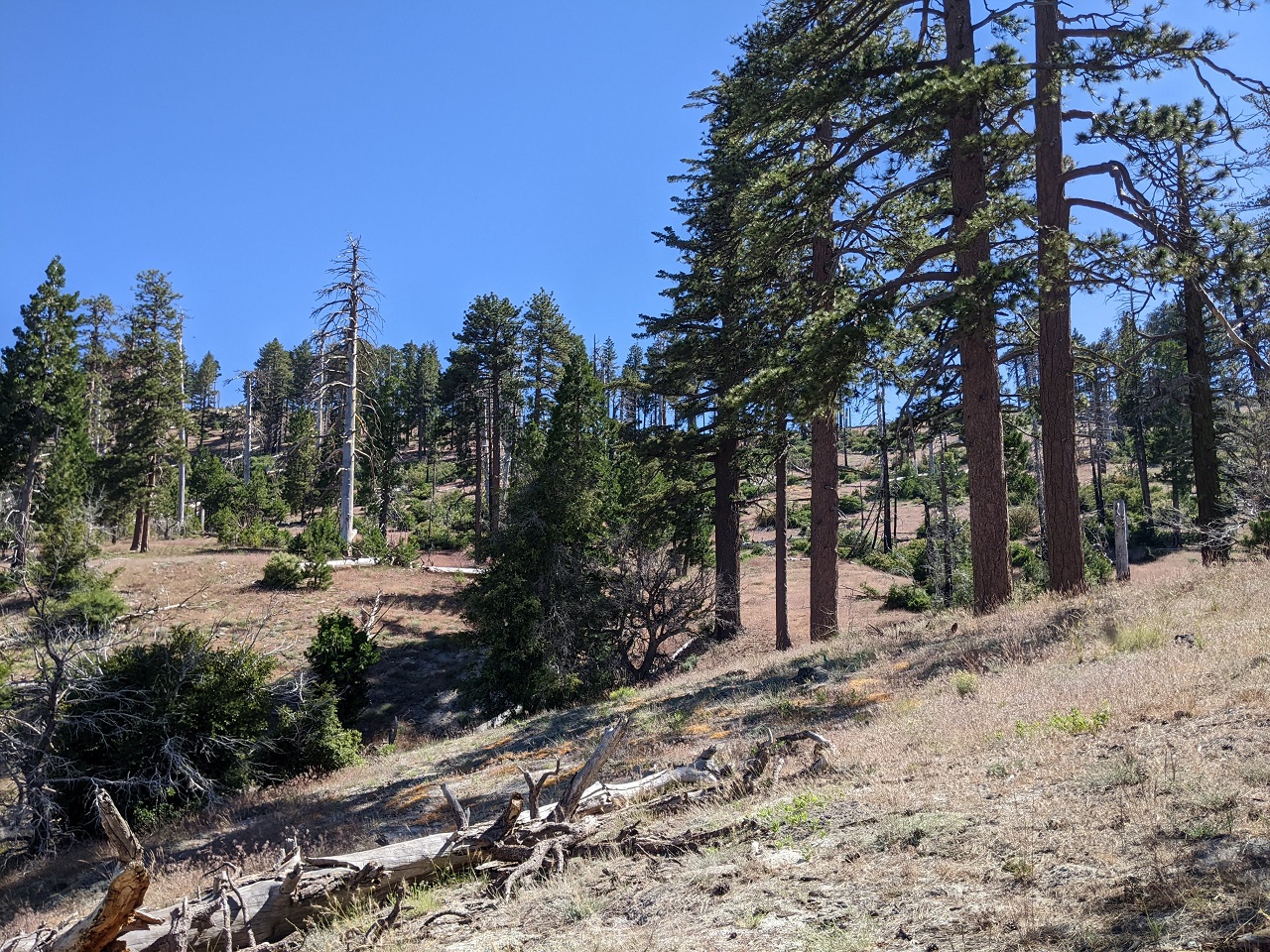
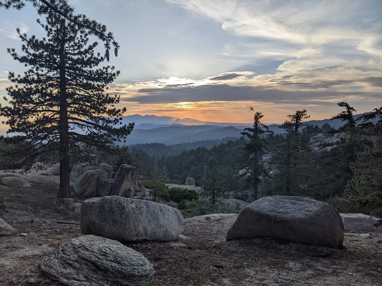
I climbed a ways up the slope to get a better view up the valley. The Wilderness boundary follows the top of the ridgeline on the right and the trail would run just below it. Terrain doesn't look terrible.
The trail would take off from Wildrose in the valley below and traverse below the knob on the right.
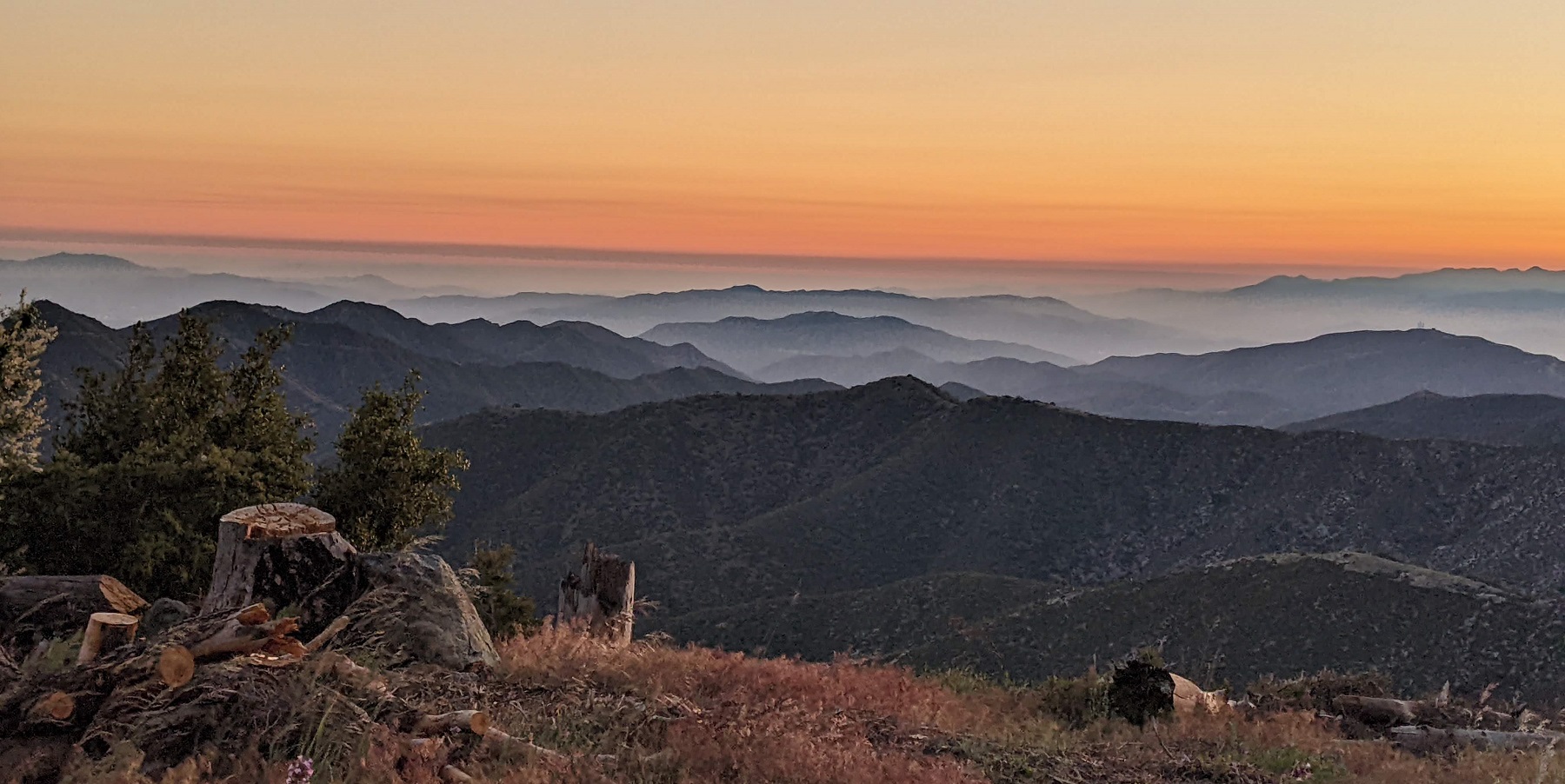
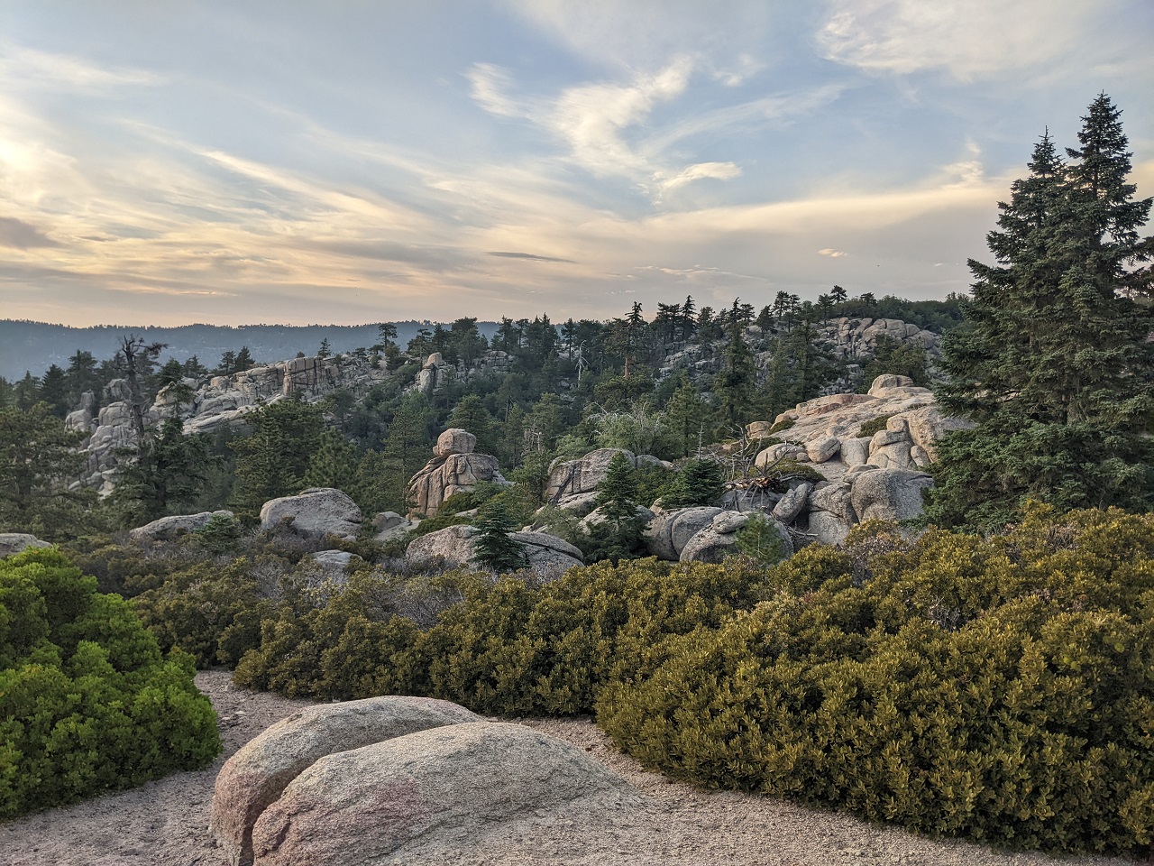
Another view over Kennedy Meadows and the Domeland Wilderness. Also shows less steep terrain on the left. Where the terrain is steep, it is very rocky. Where it is less steep, it would be easier building.
Steep eroded section on the hike out. I paid more attention to mapped trail vs trail on the ground. At a few spots where I thought we'd need a re-route, the map deviated from ground where shortcuts had formed down the fall line.
Back at the truck and time for a swim. There had been a nice breeze up on the trail but it was getting hot. Time to head up even higher.
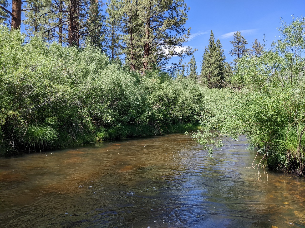
Hike was about 8 miles and 1,500ft vert.Last edited by evdog; 06-25-2024 at 02:26 PM.

 Reply With Quote
Bookmarks